Road Green
Settlement in Devon East Devon
England
Road Green
Road Green is a small village located in the county of Devon, England. Situated in the South West of the country, it is nestled in a picturesque rural setting surrounded by rolling hills and lush green fields. The village is part of the civil parish of Little Torrington and falls within the Torridge district.
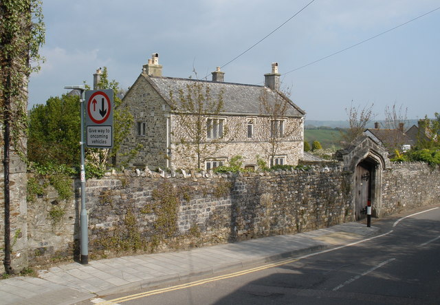
The community of Road Green consists of a scattering of houses and cottages, creating a peaceful and close-knit atmosphere. The architecture of the village reflects its history, with some properties dating back several centuries. The village is known for its quaint charm and traditional character, making it an attractive destination for visitors seeking a tranquil retreat.
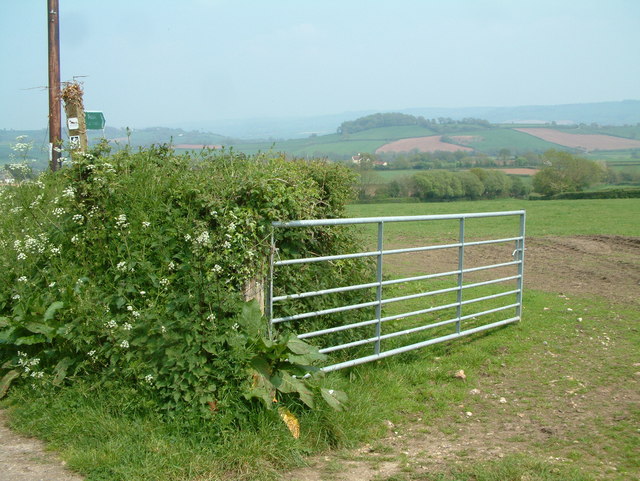
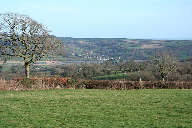
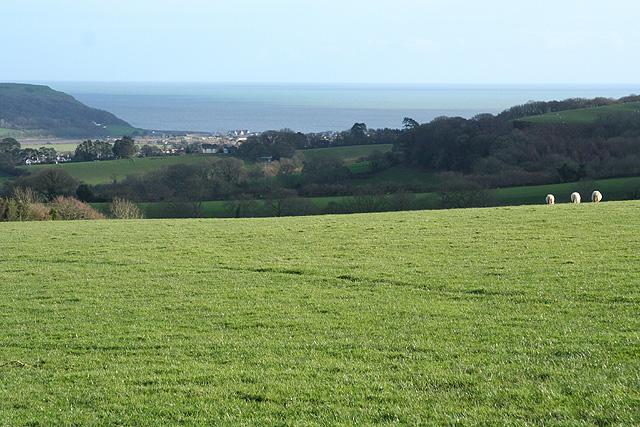
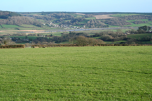
Nature lovers will delight in the stunning countryside that surrounds Road Green. The village is blessed with an abundance of natural beauty, including woodland areas and meandering streams. This idyllic setting offers ample opportunities for outdoor activities such as walking, hiking, and birdwatching.
Despite its rural location, Road Green benefits from good transportation links. The nearby A386 road provides easy access to larger towns and cities in the region, making it convenient for residents and visitors alike. The village is also within a reasonable distance of the stunning North Devon coastline, offering the chance to enjoy sandy beaches and coastal walks.
In summary, Road Green is a charming village in Devon, offering a peaceful escape from the hustle and bustle of city life. Its picturesque surroundings and rich history make it a delightful place to visit or call home for those seeking a tranquil and idyllic lifestyle.
If you have any feedback on the listing, please let us know in the comments section below.
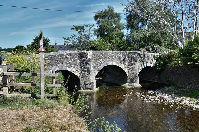
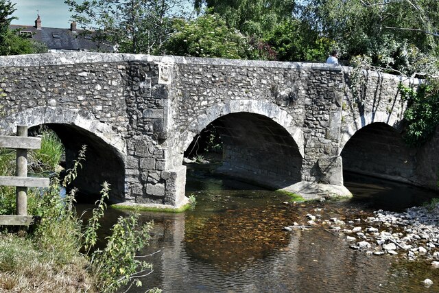
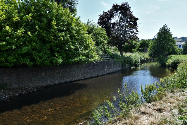
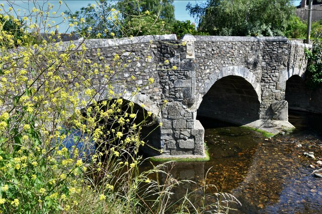
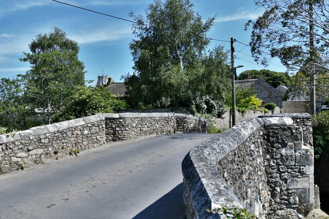
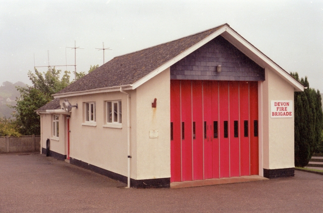
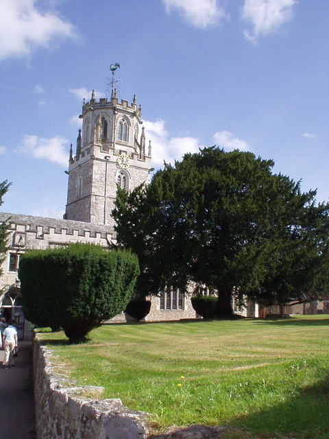
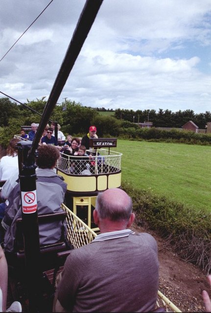
Road Green Images
Images are sourced within 2km of 50.740616/-3.0784421 or Grid Reference SY2494. Thanks to Geograph Open Source API. All images are credited.
Road Green is located at Grid Ref: SY2494 (Lat: 50.740616, Lng: -3.0784421)
Administrative County: Devon
District: East Devon
Police Authority: Devon and Cornwall
What 3 Words
///wounds.invoices.caskets. Near Colyton, Devon
Nearby Locations
Related Wikis
Great House, Colyton
Great House on South Street in the town of Colyton, Devon, is the remnant of an historic Elizabethan mansion house built by the Yonge family, originally...

Colyton, Devon
Colyton is a town in Devon, England. It is located within the East Devon local authority area, the river River Coly runs through it. It is 3 miles (5 km...

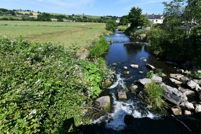
Umborne Brook
Umbourne Brook is a watercourse in Devon, England. In rises south-east of Upottery and runs past the villages of Widworthy and Wilmington then joins the...

Colcombe Castle
Colcombe Castle was a castle or fortified house situated about a 0.5 mi (0.80 km) north of the town of Colyton in East Devon. It was a seat of the Courtenay...
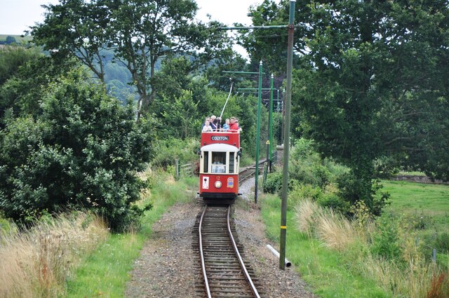
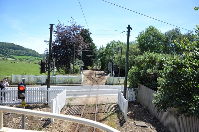
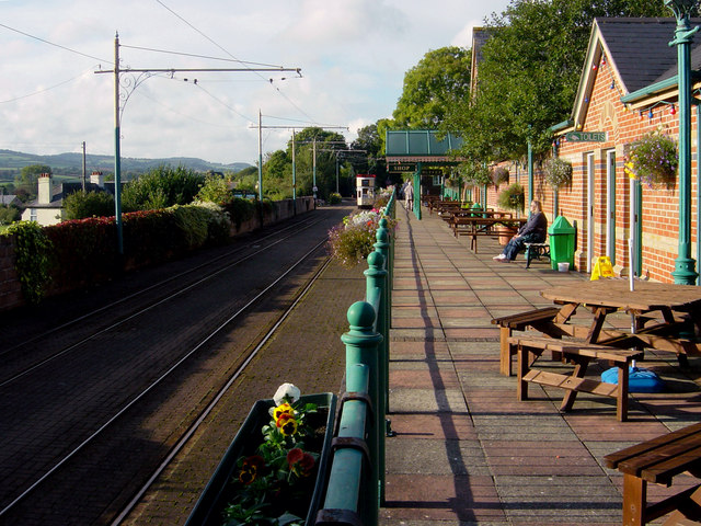
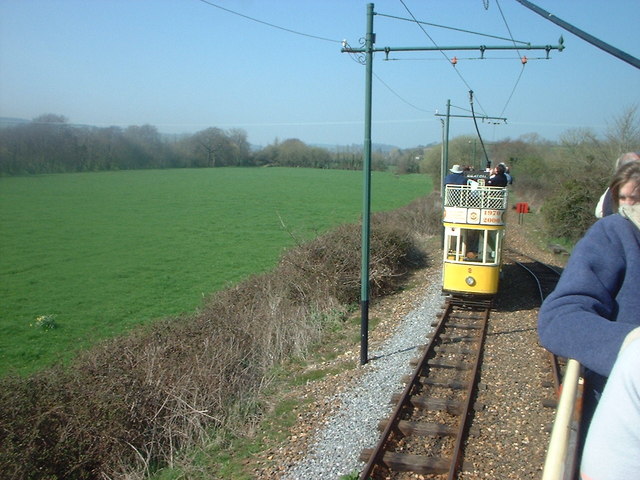
Colyton railway station
Colyton railway station, and its successor the Colyton tram stop, serve the town of Colyton in Devon, England. It was open as a railway station, on the...

Colyton Grammar School
Colyton Grammar School (CGS) is a co-educational grammar school (and Academy) located in the village of Colyford in East Devon, England, that caters for...

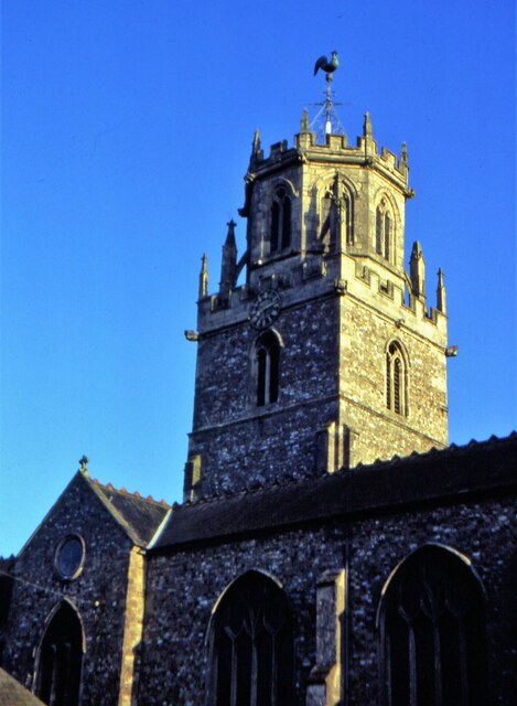
St Michael's Church, Colyford
St Michael's Church is a Church of England church in Colyford, Devon, England. Built in 1888–89, St Michael's has been Grade II listed since 1984. Today...

Bolshayne Fen
Bolshayne Fen (grid reference SY222938) is a wetland in southeast Devon, England. It has an area of 1.62 hectares. The site was designated as a Site of...
Nearby Amenities
Located within 500m of 50.740616,-3.0784421Have you been to Road Green?
Leave your review of Road Green below (or comments, questions and feedback).