Huntsman's Pool
Lake, Pool, Pond, Freshwater Marsh in Devon East Devon
England
Huntsman's Pool
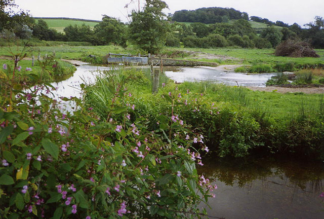
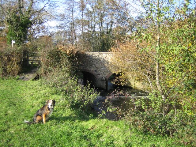
Huntsman's Pool, located in Devon, England, is a picturesque freshwater body that is often referred to as a pool, lake, pond, or freshwater marsh interchangeably. Spanning approximately 10 acres, the pool is nestled amidst a tranquil setting, surrounded by lush greenery and rolling hills.
The water in Huntsman's Pool is crystal clear and has a calm and serene appearance. It is fed by various small streams and springs that flow into the pool, ensuring a constant supply of freshwater. The pool is relatively shallow, with an average depth of around 3 to 4 meters, making it an ideal habitat for various aquatic plants and animals.
The pool is home to a diverse range of flora and fauna, making it a popular spot for nature enthusiasts and birdwatchers. The surrounding marshes and reed beds provide a haven for numerous bird species, including ducks, swans, herons, and kingfishers. The diverse plant life includes water lilies, reeds, and various types of aquatic grasses, enhancing the natural beauty of the pool.
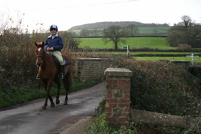
Huntsman's Pool offers a tranquil and peaceful environment, making it a perfect spot for recreational activities such as fishing, picnicking, and leisurely walks along its banks. Fishing enthusiasts can find a variety of fish species, including carp, perch, and roach, making it a popular destination for anglers.
Overall, Huntsman's Pool is a natural treasure in Devon, offering a serene and picturesque setting for visitors to enjoy the beauty of nature and observe a diverse range of flora and fauna that thrive in its freshwater ecosystem.
If you have any feedback on the listing, please let us know in the comments section below.
Huntsman's Pool Images
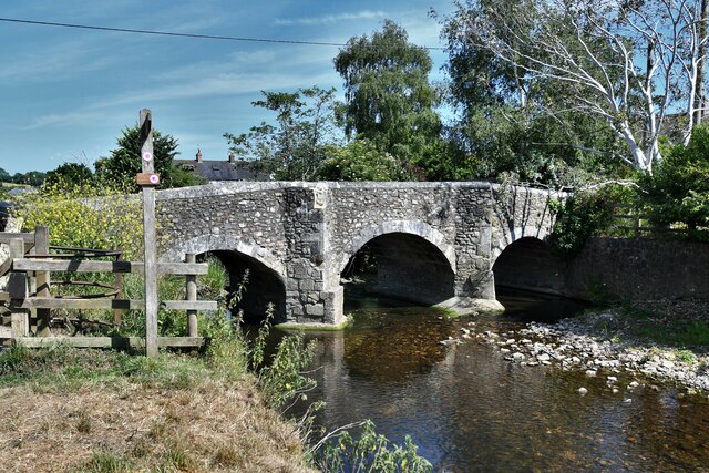
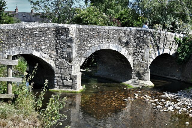
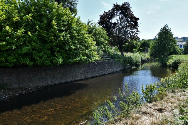
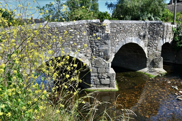
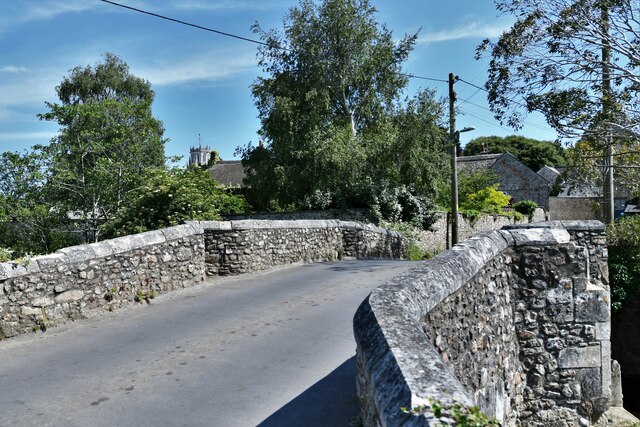
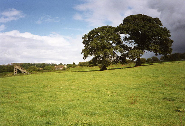
Images are sourced within 2km of 50.749325/-3.0730998 or Grid Reference SY2494. Thanks to Geograph Open Source API. All images are credited.
Huntsman's Pool is located at Grid Ref: SY2494 (Lat: 50.749325, Lng: -3.0730998)
Administrative County: Devon
District: East Devon
Police Authority: Devon and Cornwall
What 3 Words
///replaying.helm.fracture. Near Colyton, Devon
Nearby Locations
Related Wikis

Colcombe Castle
Colcombe Castle was a castle or fortified house situated about a 0.5 mi (0.80 km) north of the town of Colyton in East Devon. It was a seat of the Courtenay...

Umborne Brook
Umbourne Brook is a watercourse in Devon, England. In rises south-east of Upottery and runs past the villages of Widworthy and Wilmington then joins the...
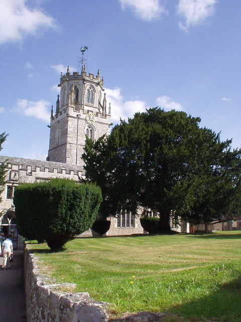
Great House, Colyton
Great House on South Street in the town of Colyton, Devon, is the remnant of an historic Elizabethan mansion house built by the Yonge family, originally...
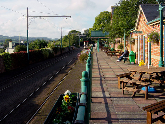
Colyton railway station
Colyton railway station, and its successor the Colyton tram stop, serve the town of Colyton in Devon, England. It was open as a railway station, on the...
Related Videos

April Cottage Colyton Holiday Home
https://www.homeaway.co.uk/p8147685 https://www.independentcottages.co.uk/devon/april-cottage-ref3931 ...

Motorhome Adventures Colyton - Colyford -Seaton Trams Tramway East Devon
We travel to Colyton East Devon where we explore the area, plus we ride the Seaton Tramway. http://www.tram.co.uk/ ...

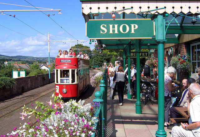
Heading Towards Seaton Onboard the Seaton Tramway
On-board the Seaton Tramway heading towards Seaton, Devon, August 2021.
Nearby Amenities
Located within 500m of 50.749325,-3.0730998Have you been to Huntsman's Pool?
Leave your review of Huntsman's Pool below (or comments, questions and feedback).