Combe

Settlement in Herefordshire

England

Combe

The lane between Stapleton and Lower Kinsham near Moor Farm
The lane between Stapleton and Lower Kinsham Credit: Andrew Longton

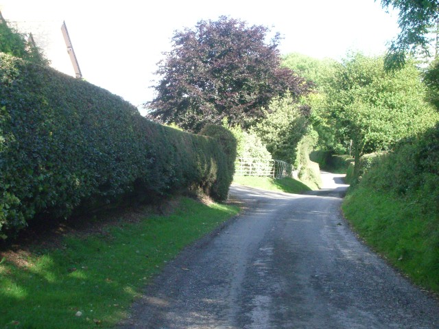
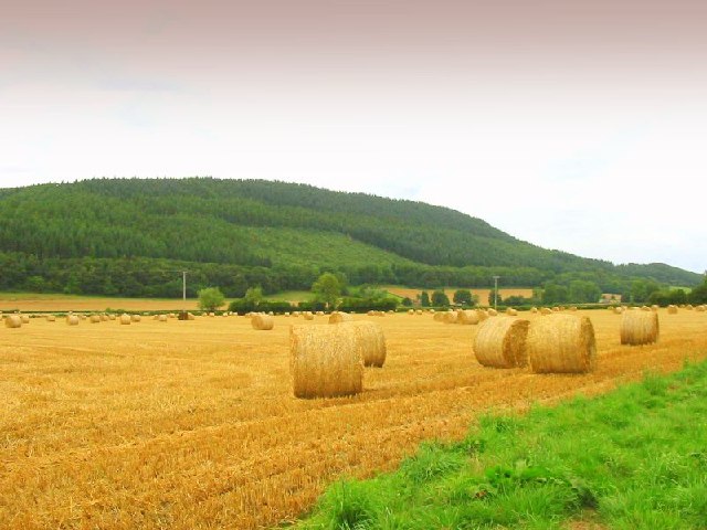
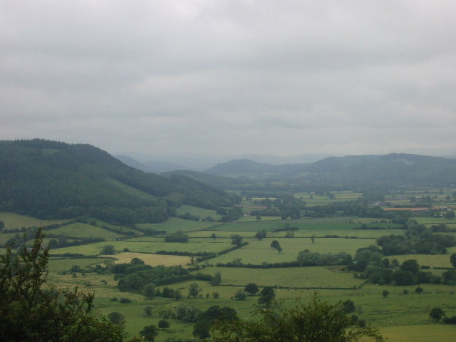
Combe is a small village located in the county of Herefordshire, England. Situated in the rural countryside, it is surrounded by picturesque landscapes and rolling hills. The village is nestled in the eastern part of Herefordshire, close to the border with Worcestershire.

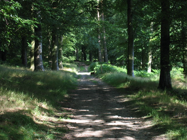
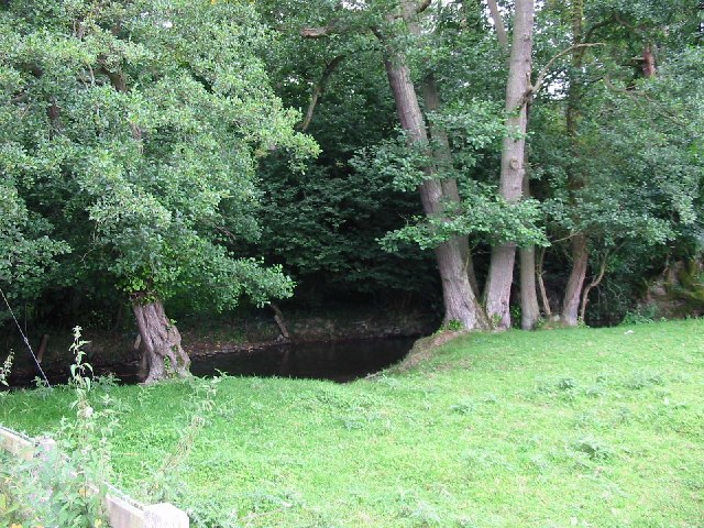
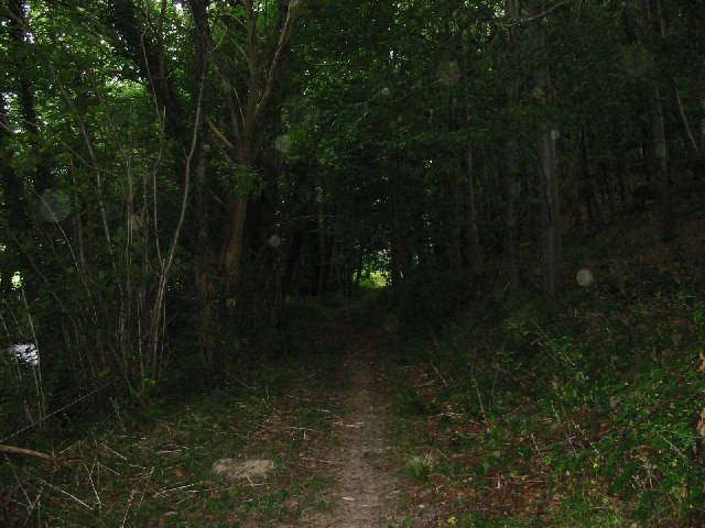
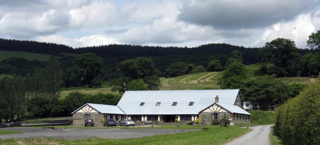
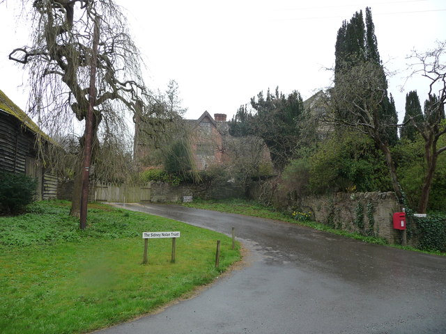
Combe is known for its tranquil and scenic setting, making it an ideal destination for nature lovers and those seeking a peaceful retreat. The village is characterized by charming stone cottages and traditional architecture, giving it a quintessential English countryside charm.

Despite its small size, Combe offers a range of amenities to its residents and visitors. It boasts a local village hall that serves as a venue for community gatherings and events. The village also has a small primary school, providing education for the local children.

For outdoor enthusiasts, Combe is surrounded by numerous walking and cycling trails, allowing visitors to explore the stunning natural beauty of the area. The nearby countryside offers opportunities for birdwatching, fishing, and horse riding.

Although Combe is primarily a residential area, it is conveniently located near larger towns and cities. The bustling market town of Ledbury is just a short drive away, offering a wider range of shops, restaurants, and leisure facilities.

Overall, Combe is a charming village that offers a peaceful and idyllic setting amidst the beautiful Herefordshire countryside.

If you have any feedback on the listing, please let us know in the comments section below.

Combe Images

Images are sourced within 2km of 52.265742/-2.9611754 or Grid Reference SO3463. Thanks to Geograph Open Source API. All images are credited.

The lane between Stapleton and Lower Kinsham near Moor Farm
The lane between Stapleton and Lower Kinsham
near Moor Farm
Fields north of the lane between Stapleton and Lower Kinsham with Cole's Hill in the background
Fields north of the lane between Stapleton and Lower Kinsham
with Cole's Hill in the background
The Arkwright Hall at Lower Kinsham
Herefordshire Trail leading to Wapley Hillfort This is taken looking North from the Herefordshire Trail towards Combe Moor and Byton Moor from the ridge above Brandhill Wood
Herefordshire Trail leading to Wapley Hillfort
This is taken looking North from the Herefordshire Trail towards Combe Moor and Byton Moor from the ridge above Brandhill Wood
Wapley Hill Wood A small deer on one of the tracks in the woods below Wapley Hill
Wapley Hill Wood
A small deer on one of the tracks in the woods below Wapley Hill
Wapley Hill Wood - Herefordshire Trail A large part of this square is woodland. This is part of the Herefordshire trail leading through the lower part of the wood to Stansbatch
Wapley Hill Wood - Herefordshire Trail
A large part of this square is woodland. This is part of the Herefordshire trail leading through the lower part of the wood to Stansbatch
The Lugg Valley to the West of Byton The river is just out of shot to the left - Byton in the distance
The Lugg Valley to the West of Byton
The river is just out of shot to the left - Byton in the distance
Mortimer Trail Looking east from the path at about SO 357626
Mortimer Trail
Looking east from the path at about SO 357626
The Hindwell Brook near Combe The Hindwell runs across the centre of the square. The Welsh border is a few yards to the right
The Hindwell Brook near Combe
The Hindwell runs across the centre of the square. The Welsh border is a few yards to the right
Combe From close to the Lugg looking south to Wapley Hill
Combe
From close to the Lugg looking south to Wapley Hill
Combe Moor and Byton Moor Taken on a wet July day looking west from the hill above Park Wood just outside the square - Wapley Hill on the left
Combe Moor and Byton Moor
Taken on a wet July day looking west from the hill above Park Wood just outside the square - Wapley Hill on the left
Ryland's Wood
Ryland's Wood
Ashley Cottage View northwards to the cottage with Ashley Vallet behind.
Ashley Cottage
View northwards to the cottage with Ashley Vallet behind.
Broad Heath Common View north-east from Cat and Fiddle to the wooded Cole's Hill.
Broad Heath Common
View north-east from Cat and Fiddle to the wooded Cole's Hill.
Wapley Hill Fort And Walks
Near Combe - B4362 looking east
Near Combe - B4362 looking west
Combe - Last field in England 2008 The trees mark the Welsh border.
Combe - Last field in England 2008
The trees mark the Welsh border.
Show me another place!

Combe is located at Grid Ref: SO3463 (Lat: 52.265742, Lng: -2.9611754)

Unitary Authority: County of Herefordshire

Police Authority: West Mercia

What 3 Words

///gliding.upstairs.riverside. Near Kinsham, Herefordshire

Nearby Locations

Combe

Related Wikis

Combe, Herefordshire

Combe is a small village and civil parish in the English county of Herefordshire. The village lies 4 km (2 mi) east of Presteigne near the confluence...

Wapley Hill

Wapley Hill is an Iron Age hill fort in Herefordshire, England, 3 km south-east of Presteigne. == Location == Wapley Hill stands in mixed woodland on a...

Kinsham

Kinsham is a civil parish which lies in the wooded hills of Herefordshire, England in the Marches near to the border with Wales, about 3 miles (5 km) east...

Combe Moor

Combe Moor, also known as Coombes Moor, is a linear hamlet in the civil parish of Byton in Herefordshire, England, to the south-east of the Welsh town...

John Beddoes School

John Beddoes School was a secondary or comprehensive school for boys and girls. The school was based on one site in the town of Presteigne.It had a largely...

Rodd, Nash and Little Brampton

Rodd, Nash and Little Brampton is a civil parish in the county of Herefordshire, England, and is 18 miles (29 km) north-west from the city and county town...

Stapleton, Herefordshire

Stapleton is a small village and civil parish in Herefordshire near the border town of Presteigne in Wales. The parish borders on Willey, Kinsham and Presteigne...

Byton, Herefordshire

Byton is a village and civil parish in Herefordshire, England. Byton is situated on the River Lugg, near the border with Wales. According to the 2001...

Nearby Amenities

Located within 500m of 52.265742,-2.9611754
Bus Stop
Holywell Bridge
Alt Name: Kinsham Turn
Bus: yes
Naptan AltCommonName: Kinsham Turn
Naptan AltStreet: Not Specified
Naptan AtcoCode: 2090A115500
Naptan Bearing: W
Naptan BusStopType: CUS
Naptan CommonName: Holywell Bridge
Naptan Indicator: adj The Fold
Naptan Landmark: Lingen Turn
Naptan NaptanCode: heradptj
Naptan Street: B4362
Naptan Verified: no
Public Transport: platform
Source: naptan_import
Lat/Long: 52.2663525/-2.9643525
Bus Stop
Holywell Bridge
Alt Name: Kinsham Turn
Bus: yes
Naptan AltCommonName: Kinsham Turn
Naptan AltStreet: Not Specified
Naptan AtcoCode: 2090A18659
Naptan Bearing: E
Naptan BusStopType: CUS
Naptan CommonName: Holywell Bridge
Naptan Indicator: opp The Fold
Naptan Landmark: Lingen Turn
Naptan NaptanCode: herajagp
Naptan Street: B4362
Naptan Verified: no
Public Transport: platform
Source: naptan_import
Lat/Long: 52.2664355/-2.9640906
Combe
Place: hamlet
Source: NLS - OS 1:25k 1st Series 1937-61
Wikidata: Q3784007
Lat/Long: 52.2641318/-2.9607108
Direction: 185
Generator Method: photovoltaic
Generator Output Electricity: yes
Generator Solar Modules: 40
Generator Source: solar
Generator Type: solar_photovoltaic_panel
Location: roof
Power: generator
Lat/Long: 52.2660202/-2.9638229
The data included in this document is from www.openstreetmap.org. The data is made available under ODbL.

Have you been to Combe?

Leave your review of Combe below (or comments, questions and feedback).