Park Wood
Wood, Forest in Lancashire Wyre
England
Park Wood
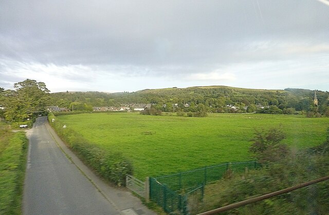
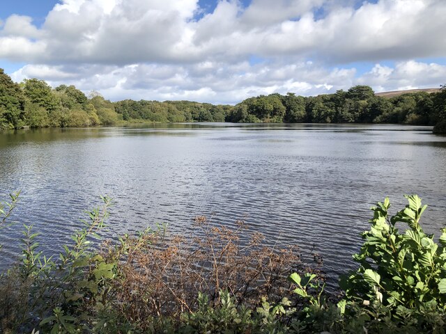
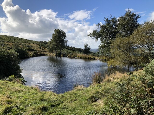
Park Wood is a beautiful forest located in the county of Lancashire, England. Covering an area of approximately 50 acres, it is a popular destination for nature enthusiasts, hikers, and families looking to enjoy the great outdoors.
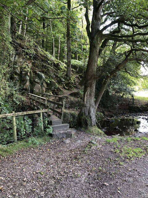
The wood is characterized by its dense canopy of trees, predominantly consisting of oak, beech, and birch. These towering trees provide a tranquil and shady environment, perfect for escaping the hustle and bustle of everyday life. In spring, the forest floor becomes a carpet of bluebells, creating a stunning display of color and fragrance.
The wood is home to a diverse range of wildlife, including numerous bird species, such as woodpeckers, owls, and thrushes. Visitors may also spot small mammals like squirrels and rabbits, as well as occasional deer sightings.
Traversing through the forest, visitors can explore a network of well-maintained trails and footpaths. These paths cater to different levels of fitness and offer a variety of scenic views, from open meadows to babbling brooks. There are also picnic spots and benches strategically placed throughout the wood, allowing visitors to rest and take in the serene surroundings.
Park Wood is open to the public throughout the year, with free admission. It is managed by the local council, which ensures the preservation and conservation of the woodland. Regular maintenance includes tree planting, path repairs, and wildlife monitoring.
Overall, Park Wood in Lancashire is a picturesque woodland retreat, offering visitors a chance to immerse themselves in nature and enjoy the tranquility of a peaceful forest setting.
If you have any feedback on the listing, please let us know in the comments section below.
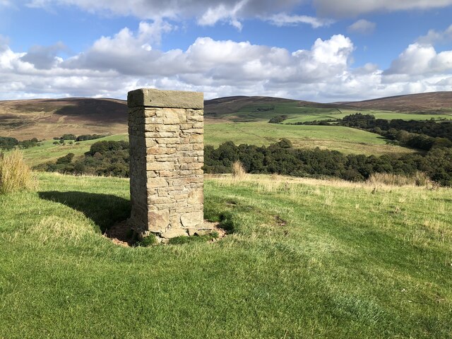
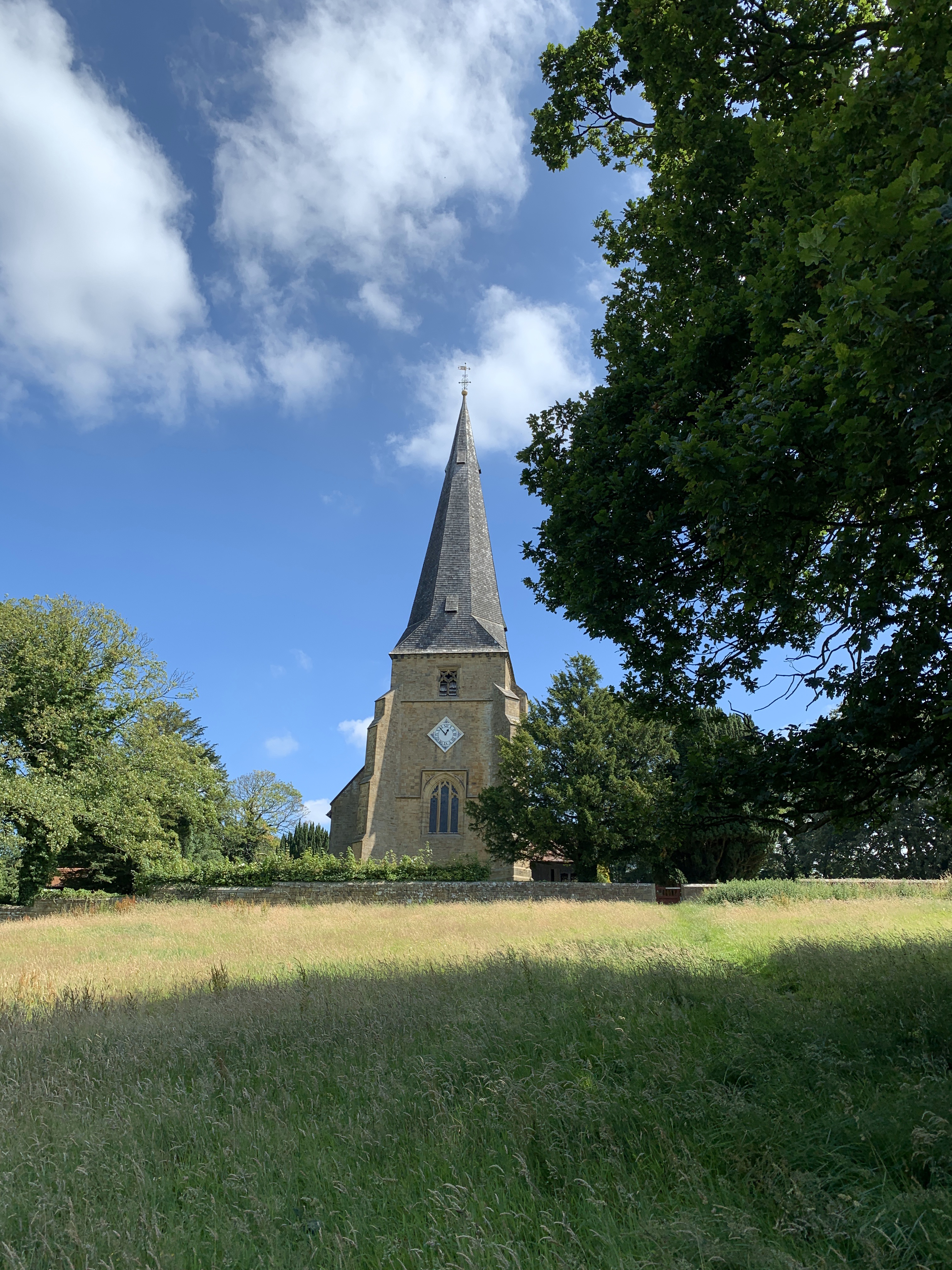
Park Wood Images
Images are sourced within 2km of 53.93812/-2.7524914 or Grid Reference SD5049. Thanks to Geograph Open Source API. All images are credited.
Park Wood is located at Grid Ref: SD5049 (Lat: 53.93812, Lng: -2.7524914)
Administrative County: Lancashire
District: Wyre
Police Authority: Lancashire
What 3 Words
///dialects.corrects.cascaded. Near Bay Horse, Lancashire
Nearby Locations
Related Wikis

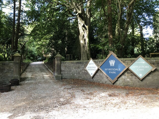
Wyresdale Park
Wyresdale Park is an English country house and licensed wedding ceremony venue located within the Forest of Bowland, to the northeast of Scorton, Lancashire...
Scorton, Lancashire
Scorton is a small village near the River Wyre, in the Wyre district of Lancashire, England. It is located north of Garstang. The name means "farmstead...

St Peter's Church, Scorton
St Peter's Church is in the village of Scorton, Lancashire, England. It is an active Anglican parish church in the deanery of Garstang, the archdeaconry...

Scorton railway station (Lancashire)
Scorton railway station served the village of Scorton, Lancashire, England, from 1840 to 1939 on the Lancaster and Preston Junction Railway. == History... ==
Nearby Amenities
Located within 500m of 53.93812,-2.7524914Have you been to Park Wood?
Leave your review of Park Wood below (or comments, questions and feedback).