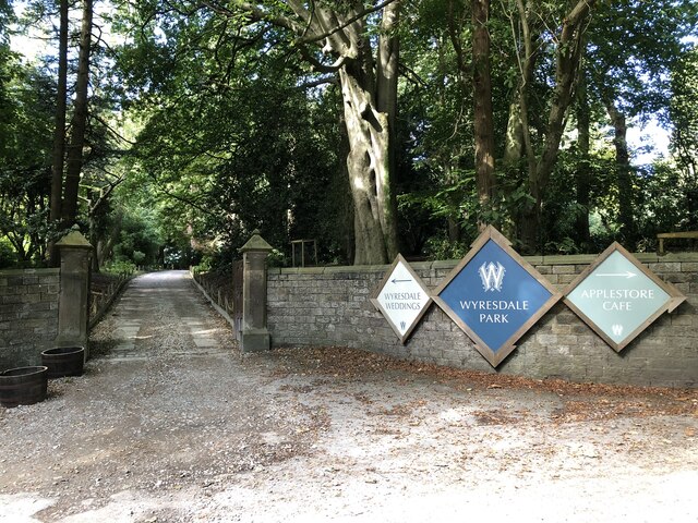
Wyresdale Park

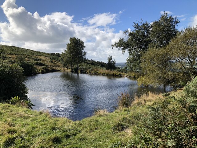
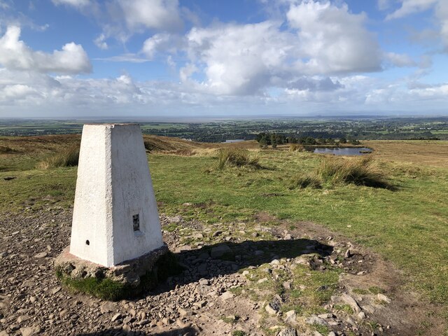
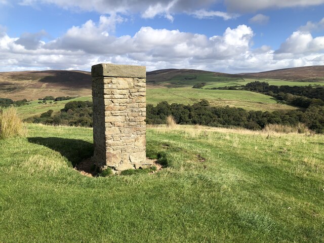
Downs, Moorland in Lancashire Wyre

England

Wyresdale Park

Station Lane at Scorton View from West Coast Main Line Railway
Station Lane at Scorton Credit: Raymond Knapman

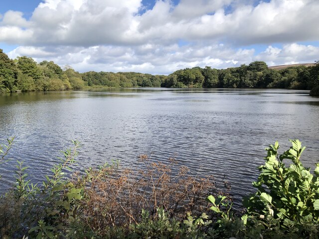
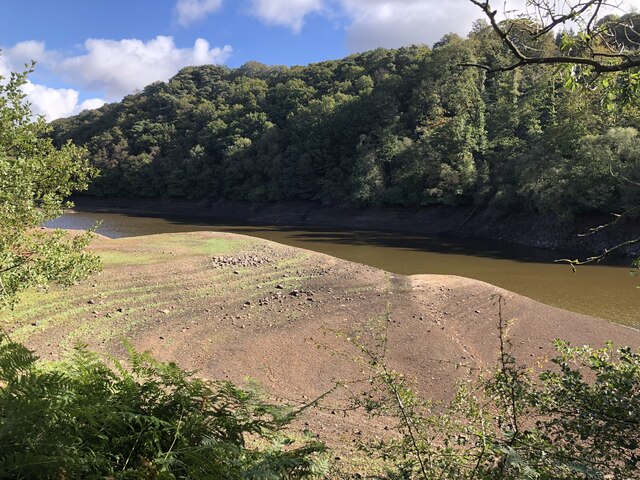
Wyresdale Park is a picturesque estate located in the heart of Lancashire, England. Sprawling across 1,000 acres, it is nestled amidst the enchanting landscape of the Bowland Fells, offering a diverse range of natural beauty, including downs and moorland.

The park boasts a rich history dating back to the 12th century when it was owned by the Knights Templar. Over the centuries, it has passed through the hands of several prominent families, each leaving their mark on the estate. Today, it is privately owned and serves as a haven for nature enthusiasts and those seeking tranquility.

The downs of Wyresdale Park are characterized by rolling hills covered in lush green grass, providing ample space for outdoor activities such as picnics, kite flying, and leisurely walks. The surrounding moorland offers a more rugged landscape, with heather-covered hills and rocky outcrops, creating a sense of wildness and adventure.

The park is home to a diverse range of flora and fauna, with rare species of birds, butterflies, and wildflowers inhabiting its grounds. Visitors may catch a glimpse of red grouse, lapwings, or even the elusive hen harrier as they explore the park's trails.

In addition to its natural beauty, Wyresdale Park also boasts several impressive architectural features. The Grade II listed Wyresdale Hall, built in the 18th century, stands as the centerpiece of the estate. Its elegant Georgian design and well-manicured gardens provide a glimpse into the estate's historic charm.

Overall, Wyresdale Park in Lancashire offers a captivating blend of downs, moorland, and historical architecture, making it a must-visit destination for those seeking an escape into nature's embrace.

If you have any feedback on the listing, please let us know in the comments section below.

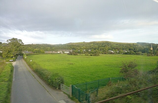
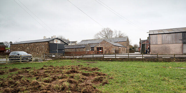
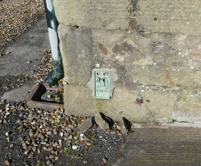
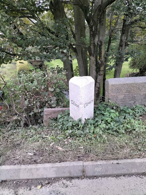
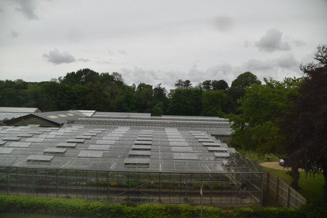
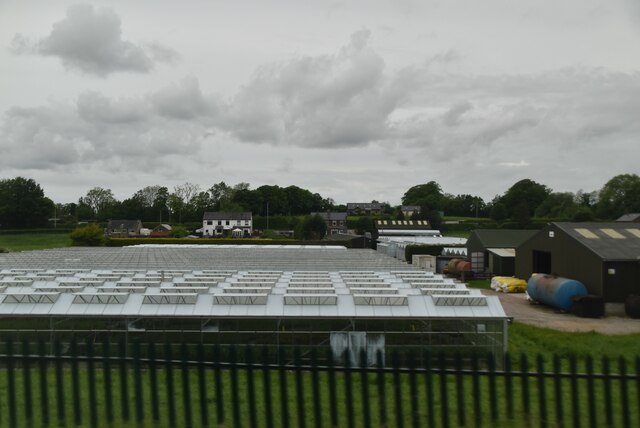
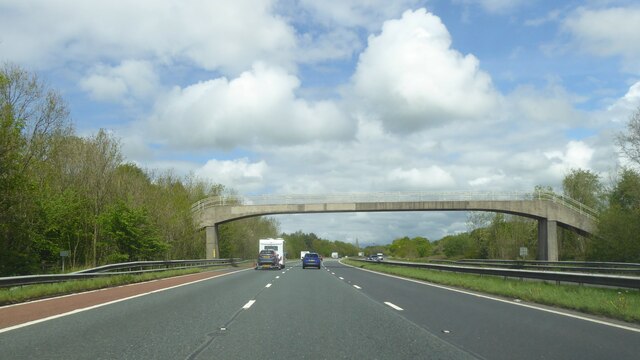
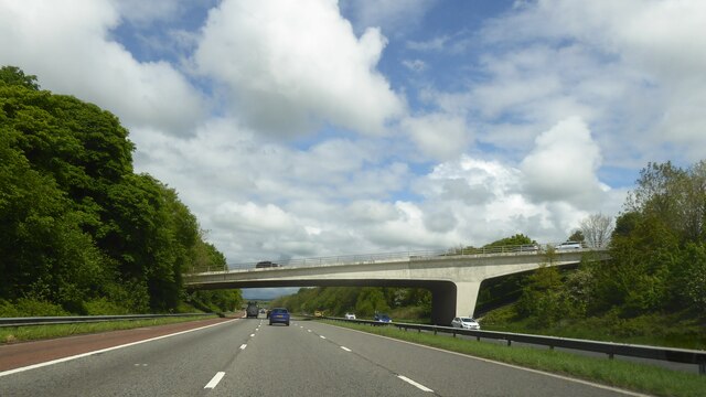
Wyresdale Park Images

Images are sourced within 2km of 53.937269/-2.7491706 or Grid Reference SD5049. Thanks to Geograph Open Source API. All images are credited.

Station Lane at Scorton View from West Coast Main Line Railway
Station Lane at Scorton
View from West Coast Main Line Railway
Old Holly Farm Old Holly Farm is a family-run working organic dairy farm, which until recently was open to the public with visitor attractions of a nature no longer specified on the farm's website. This aspect of the farm's work was a victim of the Coronavirus Covid-19 pandemic as the owners made the difficult decision not to reopen after the third national lockdown in March 2021.
Old Holly Farm
Old Holly Farm is a family-run working organic dairy farm, which until recently was open to the public with visitor attractions of a nature no longer specified on the farm's website. This aspect of the farm's work was a victim of the Coronavirus Covid-19 pandemic as the owners made the difficult decision not to reopen after the third national lockdown in March 2021.
OS Bench Mark OS flush bracket bench mark on old building on E side of A6. 29.46 m above datum.
OS Bench Mark
OS flush bracket bench mark on old building on E side of A6. 29.46 m above datum.
Old Boundary Marker on the A6 Parish Boundary Marker on the west side of the A6 70 metres north of the junction with Middle Holly. On the boundary of Cabus and Cleveley parishes. Cleveley parish became part of Forton parish in 1935. Grade II Listed details <span class="nowrap"><a title="https://historicengland.org.uk/listing/the-list/list-entry/1163288" rel="nofollow ugc noopener" href="https://historicengland.org.uk/listing/the-list/list-entry/1163288">Link</a><img style="margin-left:2px;" alt="External link" title="External link - shift click to open in new window" src="https://s1.geograph.org.uk/img/external.png" width="10" height="10"/></span>. See also <a title="https://www.geograph.org.uk/photo/6038627" href="https://www.geograph.org.uk/photo/6038627">Link</a> for an older photo.

Milestone Society National ID: LA_LAGS07pb
Old Boundary Marker on the A6
Parish Boundary Marker on the west side of the A6 70 metres north of the junction with Middle Holly. On the boundary of Cabus and Cleveley parishes. Cleveley parish became part of Forton parish in 1935. Grade II Listed details LinkExternal link. See also Link for an older photo. Milestone Society National ID: LA_LAGS07pb
Glasshouses
Glasshouses
Daisy Clough Nursery
Footbridge over M6
Footbridge over M6
Bridge over M6 at Scorton
Bridge over M6 northbound
Footbridge - M6 northbound
Snowhill Lane bridge - M6 northbound
Factory Brow bridge - M6 northbound
Wyresdale Lake Part of the estate associated with Wyresdale Park country house.
Wyresdale Lake
Part of the estate associated with Wyresdale Park country house.
Entrance to Wyresdale Park
Small reservoir on the slopes of Nicky Nook
Trig Point on Nicky Nook
Thirlmere Aqueduct surveyor's column The column is one of at least two visible in the area that stand above the course of the buried Thirlmere Aqueduct, a 96 mile long watercourse taking water from the lake district to Manchester.
Thirlmere Aqueduct surveyor's column
The column is one of at least two visible in the area that stand above the course of the buried Thirlmere Aqueduct, a 96 mile long watercourse taking water from the lake district to Manchester.
Very low water in Grizedale Reservoir A marked low level of water in Grizedale Reservoir following the dry summer of 2022.
Very low water in Grizedale Reservoir
A marked low level of water in Grizedale Reservoir following the dry summer of 2022.
Show me another place!

Wyresdale Park is located at Grid Ref: SD5049 (Lat: 53.937269, Lng: -2.7491706)

Administrative County: Lancashire

District: Wyre

Police Authority: Lancashire

What 3 Words

///nursery.speaks.prune. Near Bay Horse, Lancashire

Nearby Locations

Park Wood Wyresdale Park

Related Wikis

Wyresdale Park

Wyresdale Park is an English country house and licensed wedding ceremony venue located within the Forest of Bowland, to the northeast of Scorton, Lancashire...

Scorton, Lancashire

Scorton is a small village near the River Wyre, in the Wyre district of Lancashire, England. It is located north of Garstang. The name means "farmstead...

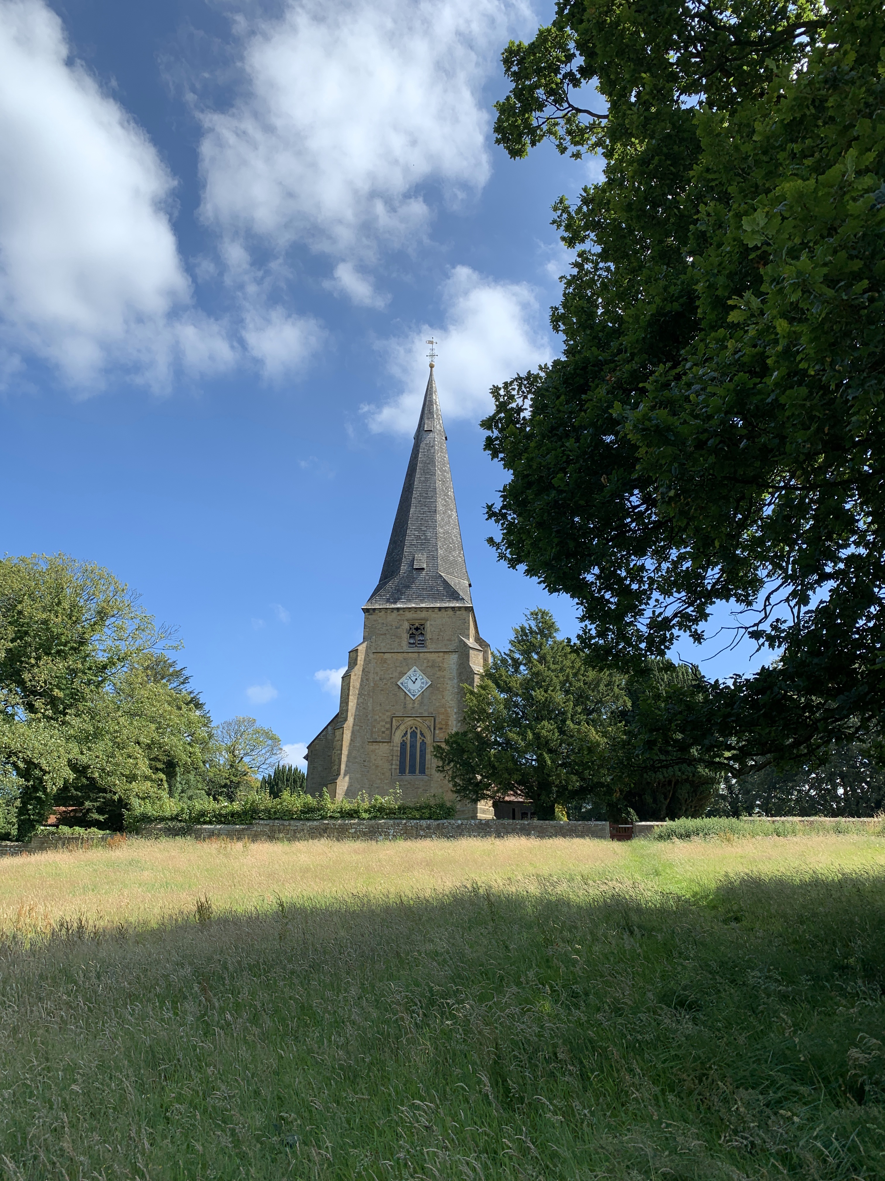
St Peter's Church, Scorton

St Peter's Church is in the village of Scorton, Lancashire, England. It is an active Anglican parish church in the deanery of Garstang, the archdeaconry...

Scorton railway station (Lancashire)

Scorton railway station served the village of Scorton, Lancashire, England, from 1840 to 1939 on the Lancaster and Preston Junction Railway. == History... ==

Nearby Amenities

Located within 500m of 53.937269,-2.7491706
Cafe
Apple Store Cafe
Lat/Long: 53.936505/-2.7494248
Man Made: tower
Tower Type: communication
Lat/Long: 53.9393915/-2.7553671
Barrier: bollard
Lat/Long: 53.9388444/-2.7555542
The data included in this document is from www.openstreetmap.org. The data is made available under ODbL.

Have you been to Wyresdale Park?

Leave your review of Wyresdale Park below (or comments, questions and feedback).