Little Wood
Wood, Forest in Westmorland South Lakeland
England
Little Wood

Little Wood, Westmorland, also known as Wood or Forest, is a picturesque village located in the county of Westmorland, England. Situated in the northwest region of the country, it is nestled within the stunning landscape of the Lake District National Park.
The village is characterized by its abundant woodlands, which give it its alternative names. These woodlands cover a significant portion of the area and are home to a diverse range of flora and fauna, making it an attractive destination for nature enthusiasts and outdoor adventurers alike.
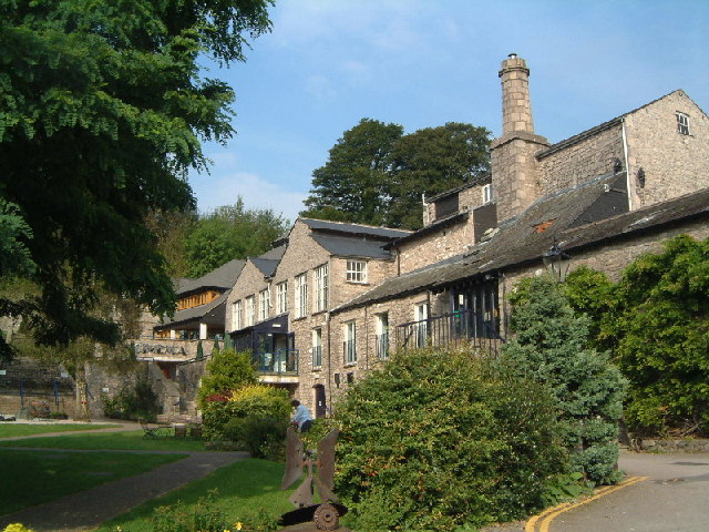
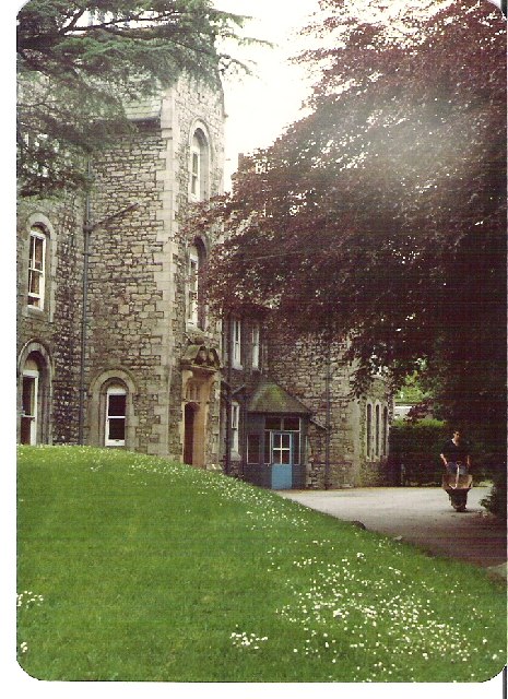
Little Wood is a close-knit community with a population of approximately 500 residents. The village boasts a charming array of traditional stone-built cottages, giving it a timeless and idyllic atmosphere. The residents are known for their warm hospitality and strong sense of community spirit.
The village offers a range of amenities and services, including a small convenience store, a village hall, and a quaint church. There is also a primary school, providing education for the local children.
For those seeking recreational activities, Little Wood offers a variety of options. The surrounding woodlands provide ample opportunities for hiking, cycling, and wildlife spotting. The village is also within close proximity to Lake Windermere, one of the largest lakes in England, where visitors can enjoy boating, fishing, and other water-based activities.
Overall, Little Wood, Westmorland, is a hidden gem within the Lake District National Park, offering a peaceful and scenic setting for residents and visitors alike.
If you have any feedback on the listing, please let us know in the comments section below.
Little Wood Images
Images are sourced within 2km of 54.328088/-2.7595952 or Grid Reference SD5092. Thanks to Geograph Open Source API. All images are credited.


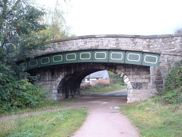
![The Change Bridge, Kendal Situated on the long disused section of the Lancaster Canal, this bridge allowed the Tow Horses to change from one side of the canal to the other [as the tow path changed sides] without unhitching from the barge they were towing. The horse track curving up to the bridge with no steps is clearly visible. This is the only bridge of its type in Cumbria, though there are others on the canal further south in Lancashire.](https://s0.geograph.org.uk/photos/07/10/071072_99631504.jpg)


Little Wood is located at Grid Ref: SD5092 (Lat: 54.328088, Lng: -2.7595952)
Administrative County: Cumbria
District: South Lakeland
Police Authority: Cumbria
What 3 Words
///flip.truth.people. Near Kendal, Cumbria
Nearby Locations
Related Wikis

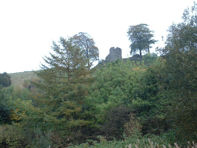
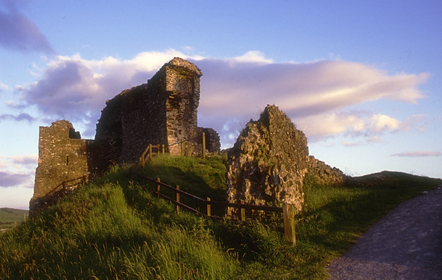
Castle Howe
Castle Howe is a motte and bailey castle in the town of Kendal, England. == History == Castle Howe was built after the Norman conquest of England, either...
Barony of Kendal
The Barony of Kendal is a subdivision of the English historic county of Westmorland. It is one of two ancient baronies that make up the county, the other...
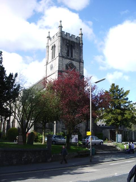
St Thomas' Church, Kendal
St Thomas' Church is in Stricklandgate, Kendal, Cumbria, England. It is an active Anglican parish church in the deanery of Kendal, the archdeaconry of...

Kendal Town Hall
The Town Hall is a municipal building in Highgate, Kendal, Cumbria. It is a Grade II listed building. It serves as the headquarters of Kendal Town Council...
Nearby Amenities
Located within 500m of 54.328088,-2.7595952Have you been to Little Wood?
Leave your review of Little Wood below (or comments, questions and feedback).