Acre Wood
Wood, Forest in Lancashire Wyre
England
Acre Wood
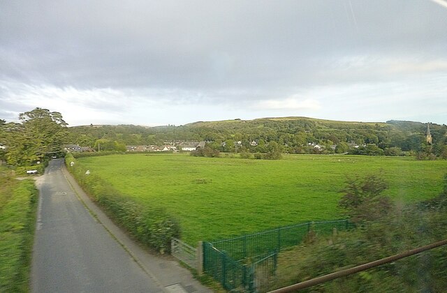
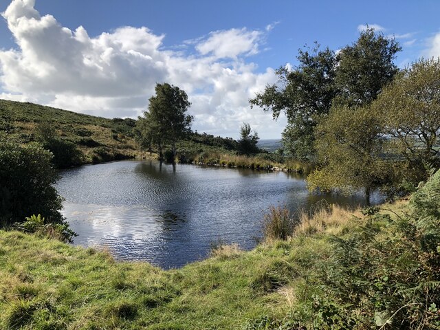
Acre Wood is a picturesque forest located in the county of Lancashire, England. Spanning an area of approximately 100 acres, this woodland is known for its abundant natural beauty and diverse flora and fauna. Situated in the heart of the Lancashire countryside, Acre Wood offers a tranquil escape from the bustling city life.
The forest is predominantly composed of native broadleaf trees such as oak, beech, and ash, creating a dense canopy that provides shade and shelter to the woodland floor below. The forest floor is carpeted with a rich assortment of wildflowers, ferns, and mosses, creating a vibrant and colorful landscape.
Acre Wood is home to a wide variety of wildlife, making it a popular destination for nature enthusiasts and birdwatchers. Visitors can spot numerous bird species, including woodpeckers, thrushes, and owls, as well as small mammals like foxes, squirrels, and rabbits. The forest also boasts a thriving population of butterflies and insects.
The woodland offers several walking trails and paths that wind through its enchanting surroundings, allowing visitors to immerse themselves in nature and explore the forest at their own pace. The peaceful ambiance of Acre Wood makes it an ideal spot for leisurely strolls, picnics, or simply taking in the tranquil atmosphere.
With its natural charm and serene ambiance, Acre Wood in Lancashire is a haven for nature lovers and an idyllic destination for those seeking solace in the beauty of the great outdoors.
If you have any feedback on the listing, please let us know in the comments section below.
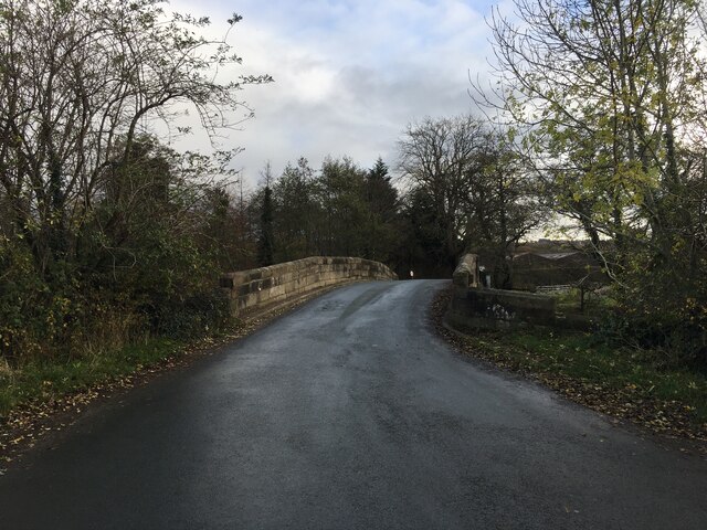
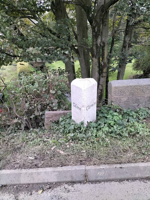
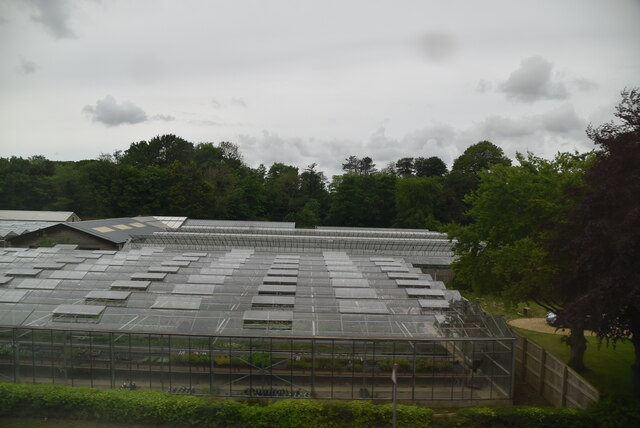
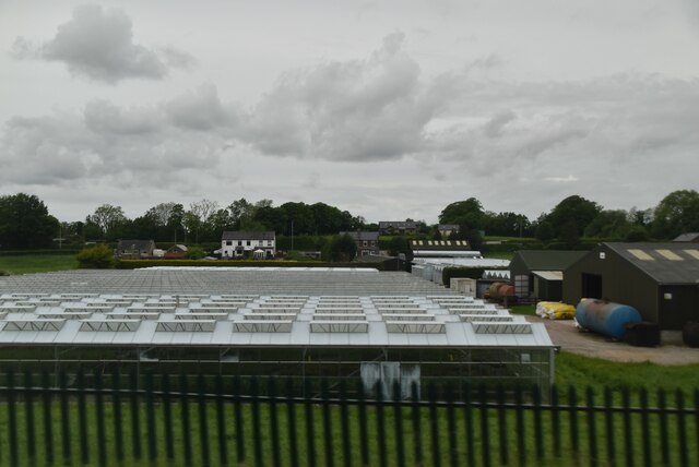
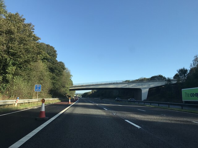
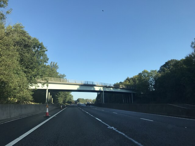
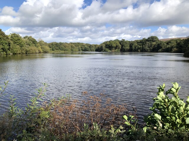
Acre Wood Images
Images are sourced within 2km of 53.934721/-2.7556289 or Grid Reference SD5048. Thanks to Geograph Open Source API. All images are credited.
Acre Wood is located at Grid Ref: SD5048 (Lat: 53.934721, Lng: -2.7556289)
Administrative County: Lancashire
District: Wyre
Police Authority: Lancashire
What 3 Words
///ranged.fluffed.rooster. Near Bay Horse, Lancashire
Nearby Locations
Related Wikis
Scorton, Lancashire
Scorton is a small village near the River Wyre, in the Wyre district of Lancashire, England. It is located north of Garstang. The name means "farmstead...

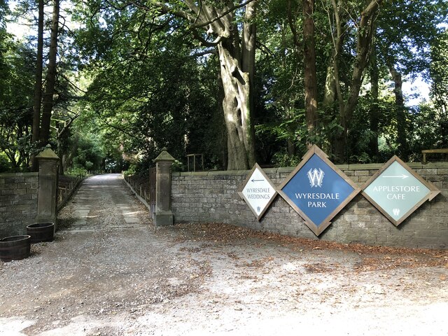
Wyresdale Park
Wyresdale Park is an English country house and licensed wedding ceremony venue located within the Forest of Bowland, to the northeast of Scorton, Lancashire...

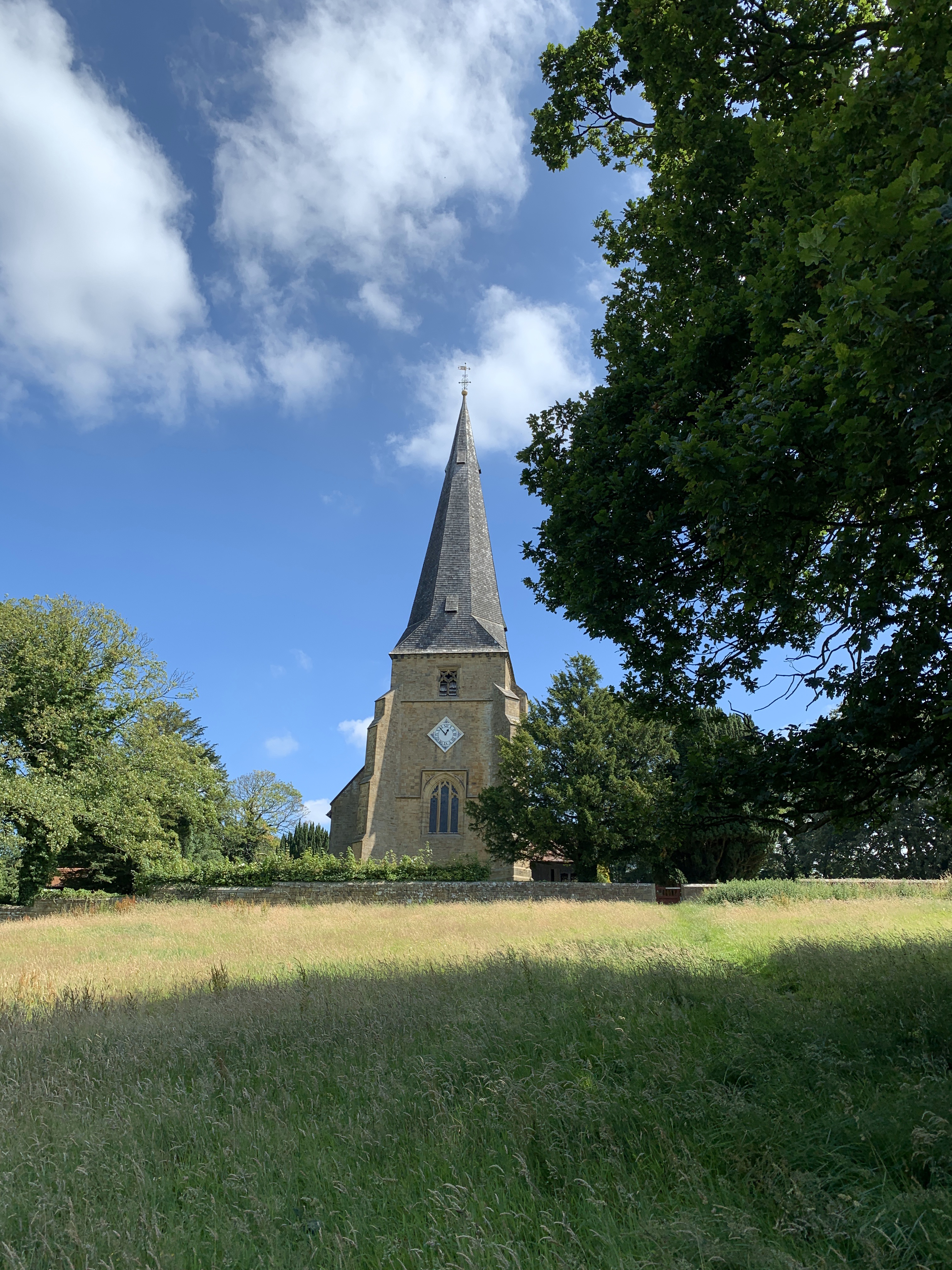
St Peter's Church, Scorton
St Peter's Church is in the village of Scorton, Lancashire, England. It is an active Anglican parish church in the deanery of Garstang, the archdeaconry...

Scorton railway station (Lancashire)
Scorton railway station served the village of Scorton, Lancashire, England, from 1840 to 1939 on the Lancaster and Preston Junction Railway. == History... ==

Hollins Lane
Hollins Lane is a village near the village of Forton, in the Wyre District, in the English county of Lancashire. The village has the Lancaster and Preston...

Shireshead
Shireshead is a hamlet near Forton, Lancashire. It includes an Anglican church, St James', which was designed by the Leeds-based architectural firm Kelly...

Cabus
Cabus is a village and civil parish in Lancashire, England. It lies 12 miles north of Preston, 9 miles south of Lancaster and 16 miles north east of Blackpool...

Nether Wyresdale
Nether Wyresdale is a civil parish in Lancashire, England. In the 2001 United Kingdom census, it had a population of 613, rising to 655 at the 2011 census...
Related Videos

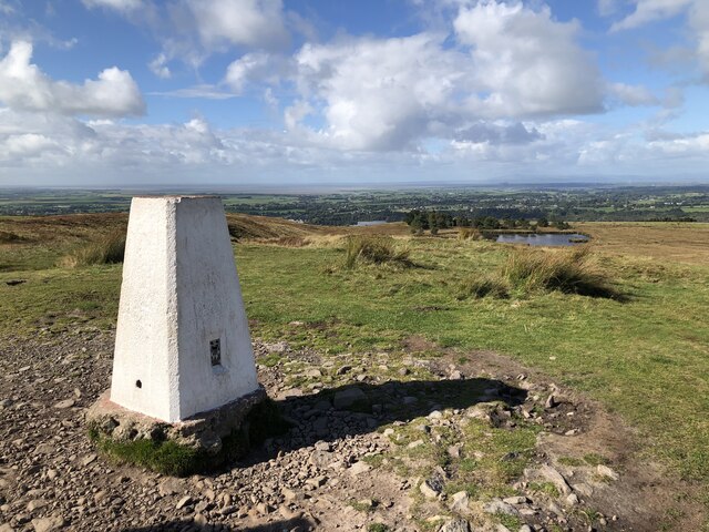
Walking in Scorton
8.5mile walk over Nicky Nook Scorton Lancashire.

NICKY NOOK SOLO HIKING - Forest of Bowland Walk & Talk! 3 - 4 miles.
A beautiful walk on the edge of the Forest of Bowland in Lancashire. Starting in Wyresdale Park and heading up to Nicky Nook!

Mark Walks LEJOG - Day 31: Farington to Garstang
I am walking from Land's End to John O'Groats in aid of MacMillan Cancer Support. Full details on my website ...

Nicky Nook hike before the sunset // Forest of Bowland
Short 3 mile Sunday circular hike up Nicky Nook hill before the sunset in the Forest of Bowland, Lancashire England. 8 January ...
Nearby Amenities
Located within 500m of 53.934721,-2.7556289Have you been to Acre Wood?
Leave your review of Acre Wood below (or comments, questions and feedback).