Ghyll Wood
Wood, Forest in Lancashire Wyre
England
Ghyll Wood
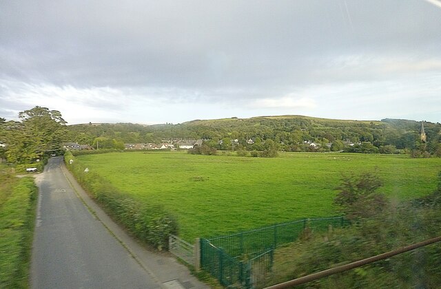
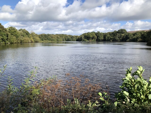
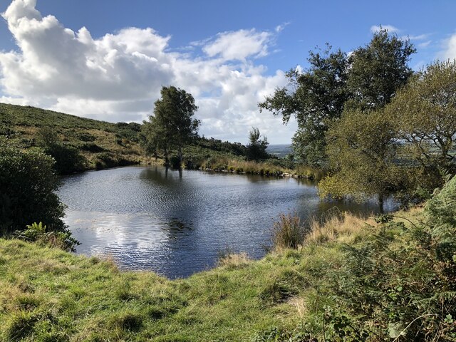
Ghyll Wood, located in Lancashire, is a picturesque woodland area renowned for its natural beauty and abundant wildlife. Spanning over a vast expanse, this enchanting forest is a popular destination for nature lovers and outdoor enthusiasts.
The woodland is characterized by its dense canopy of towering trees, predominantly oak and beech, which provide a serene and tranquil atmosphere. Walking through Ghyll Wood, visitors are greeted by a rich tapestry of vibrant green foliage and a diverse range of plant species, including bluebells, wild garlic, and heather.
Ghyll Wood is home to a plethora of wildlife, making it a haven for birdwatchers and animal enthusiasts. Visitors may spot various bird species, such as woodpeckers, owls, and pheasants, as well as small mammals like squirrels, badgers, and foxes. The wood's diverse ecosystem also supports a wealth of insect life, including butterflies, dragonflies, and beetles.
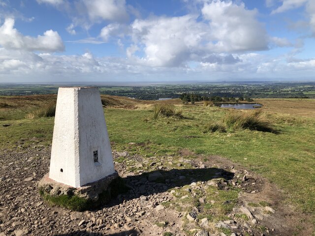
The woodland is traversed by a network of well-maintained footpaths, allowing visitors to explore its beauty while immersing themselves in nature. These paths lead to scenic viewpoints, offering breathtaking vistas of the surrounding countryside and the nearby River Hodder.
Ghyll Wood is a cherished natural gem that provides a peaceful escape from the hustle and bustle of everyday life. It is a place where visitors can reconnect with nature, indulge in outdoor activities, and experience the tranquility of a truly remarkable woodland setting.
If you have any feedback on the listing, please let us know in the comments section below.
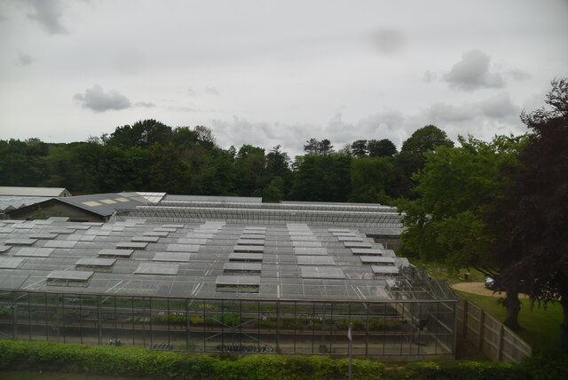
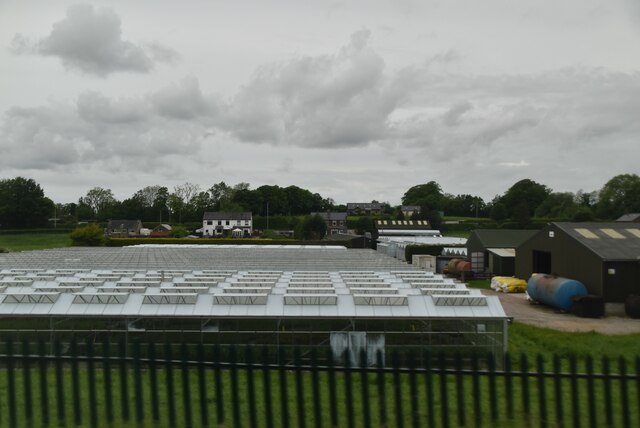
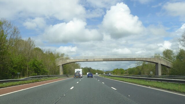
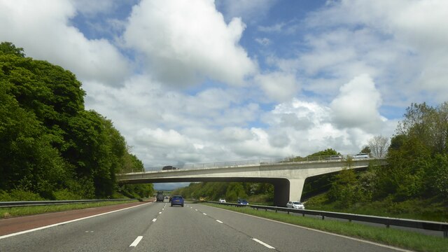
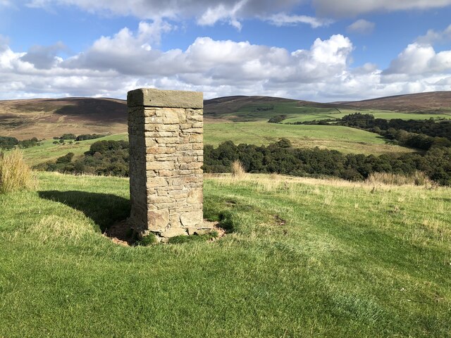
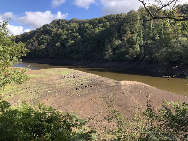
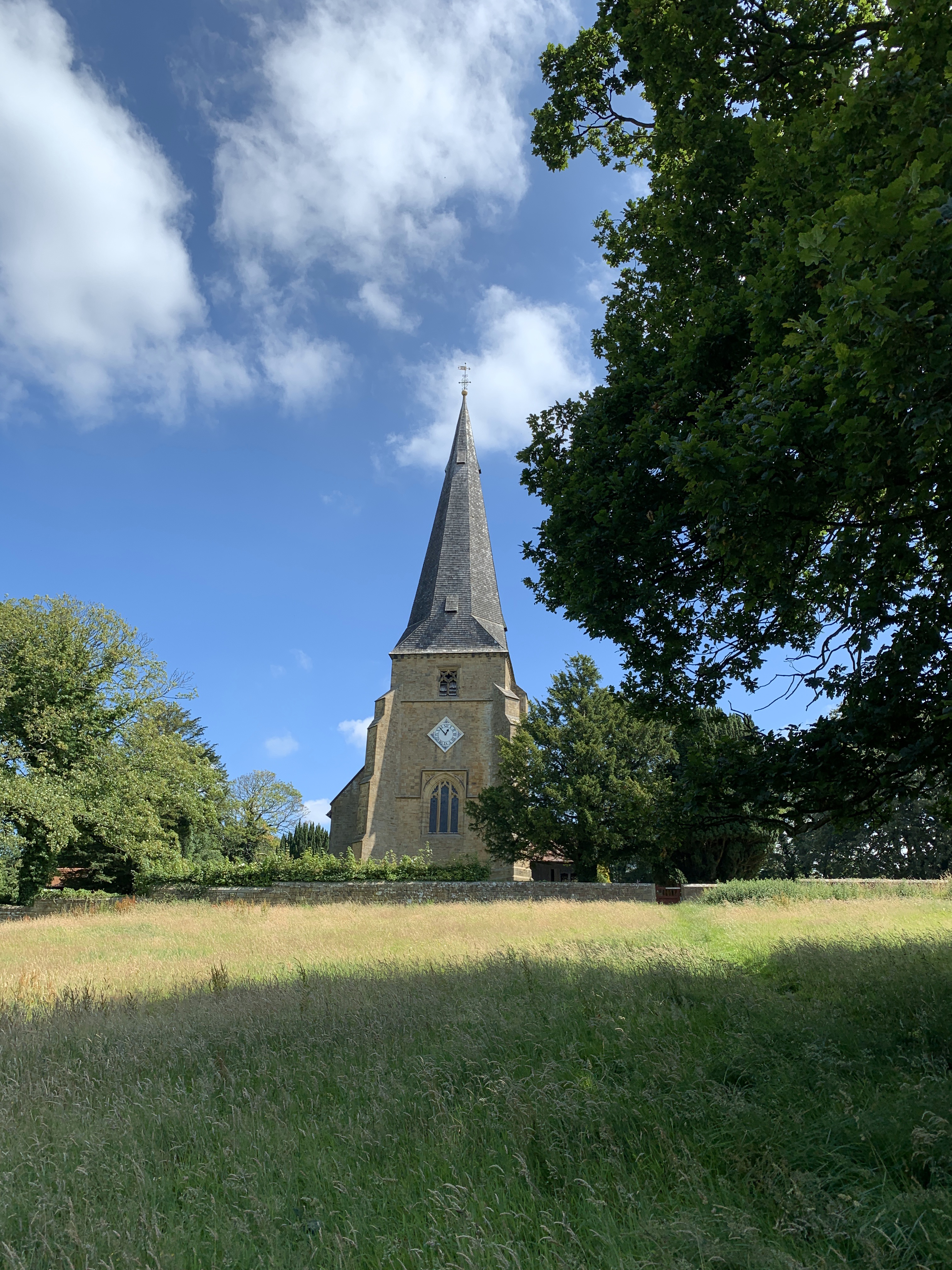
Ghyll Wood Images
Images are sourced within 2km of 53.934019/-2.750072 or Grid Reference SD5048. Thanks to Geograph Open Source API. All images are credited.
Ghyll Wood is located at Grid Ref: SD5048 (Lat: 53.934019, Lng: -2.750072)
Administrative County: Lancashire
District: Wyre
Police Authority: Lancashire
What 3 Words
///imported.bookshop.divisible. Near Garstang, Lancashire
Nearby Locations
Related Wikis

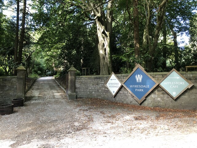
Wyresdale Park
Wyresdale Park is an English country house and licensed wedding ceremony venue located within the Forest of Bowland, to the northeast of Scorton, Lancashire...

St Peter's Church, Scorton
St Peter's Church is in the village of Scorton, Lancashire, England. It is an active Anglican parish church in the deanery of Garstang, the archdeaconry...
Scorton, Lancashire
Scorton is a small village near the River Wyre, in the Wyre district of Lancashire, England. It is located north of Garstang. The name means "farmstead...

Scorton railway station (Lancashire)
Scorton railway station served the village of Scorton, Lancashire, England, from 1840 to 1939 on the Lancaster and Preston Junction Railway. == History... ==

Shireshead
Shireshead is a hamlet near Forton, Lancashire. It includes an Anglican church, St James', which was designed by the Leeds-based architectural firm Kelly...

Hollins Lane
Hollins Lane is a village near the village of Forton, in the Wyre District, in the English county of Lancashire. The village has the Lancaster and Preston...

Nether Wyresdale
Nether Wyresdale is a civil parish in Lancashire, England. In the 2001 United Kingdom census, it had a population of 613, rising to 655 at the 2011 census...

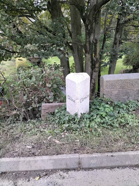
Cabus
Cabus is a village and civil parish in Lancashire, England. It lies 12 miles north of Preston, 9 miles south of Lancaster and 16 miles north east of Blackpool...
Nearby Amenities
Located within 500m of 53.934019,-2.750072Have you been to Ghyll Wood?
Leave your review of Ghyll Wood below (or comments, questions and feedback).