Wheatcommon Covert

Wood, Forest in Shropshire

England

Wheatcommon Covert

All Saints' church, Richard's Castle Designed by Richard Norman Shaw 1892. <span class="nowrap"><a title="https://historicengland.org.uk/listing/the-list/list-entry/1383775?section=official-list-entry" rel="nofollow ugc noopener" href="https://historicengland.org.uk/listing/the-list/list-entry/1383775?section=official-list-entry">Link</a><img style="margin-left:2px;" alt="External link" title="External link - shift click to open in new window" src="https://s1.geograph.org.uk/img/external.png" width="10" height="10"/></span>
All Saints' church, Richard's Castle Credit: Jonathan Thacker

Wheatcommon Covert is a picturesque woodland located in the county of Shropshire, England. Nestled in the heart of the countryside, this tranquil forest covers an area of approximately 200 acres and is known for its natural beauty and diverse wildlife.

The woodland is primarily composed of native tree species such as oak, ash, and beech, which create a dense canopy overhead. The forest floor is adorned with a rich carpet of wildflowers, including bluebells, primroses, and wood anemones, providing a vibrant burst of color during the spring and summer months.

Wheatcommon Covert is carefully managed by the local authorities to maintain its ecological balance and protect its natural inhabitants. The forest provides a haven for a wide range of wildlife, including deer, foxes, badgers, and numerous bird species. Birdwatchers can often spot woodpeckers, owls, and various songbirds in the branches above.

The woodland offers a variety of walking trails and paths, allowing visitors to explore its serene surroundings at their leisure. These trails meander through the forest, offering glimpses of hidden ponds, babbling brooks, and picturesque clearings. There are also designated picnic areas where visitors can relax and enjoy the peaceful ambiance of the woodland.

Wheatcommon Covert is a popular destination for nature lovers, hikers, and photographers, who are drawn to its unspoiled beauty and abundant wildlife. Its proximity to nearby villages and towns makes it easily accessible for both locals and tourists alike, providing a welcome escape from the hustle and bustle of modern life.

If you have any feedback on the listing, please let us know in the comments section below.

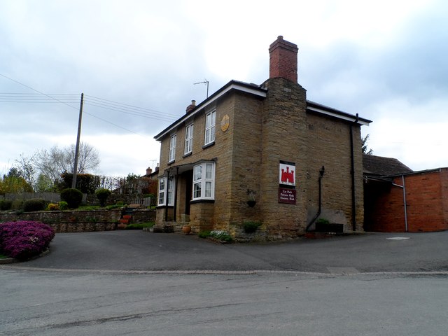
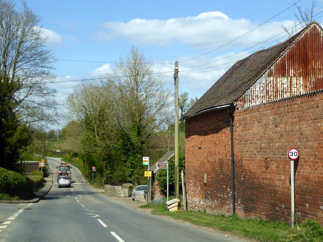
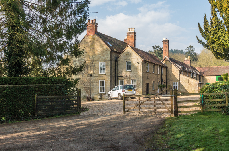
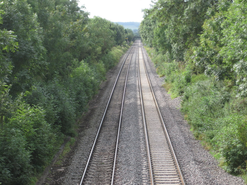
Wheatcommon Covert Images

Images are sourced within 2km of 52.335783/-2.72803 or Grid Reference SO5071. Thanks to Geograph Open Source API. All images are credited.

All Saints' church, Richard's Castle Designed by Richard Norman Shaw 1892. <span class="nowrap"><a title="https://historicengland.org.uk/listing/the-list/list-entry/1383775?section=official-list-entry" rel="nofollow ugc noopener" href="https://historicengland.org.uk/listing/the-list/list-entry/1383775?section=official-list-entry">Link</a><img style="margin-left:2px;" alt="External link" title="External link - shift click to open in new window" src="https://s1.geograph.org.uk/img/external.png" width="10" height="10"/></span>
All Saints' church, Richard's Castle
Designed by Richard Norman Shaw 1892. LinkExternal link
Park Lane, Richards Castle
The Castle Inn, Richard's Castle Roadside pub in the village.
The Castle Inn, Richard's Castle
Roadside pub in the village.
B4361 passes through Richards Castle
The Castle Inn, Richards Castle Richards Castle takes its name from the castle built for Richard Fitz Scrob before 1051. He was a Norman who had been granted lands in this area by King Edward the Confessor prior to the Norman conquest in 1066.
The Castle Inn, Richards Castle
Richards Castle takes its name from the castle built for Richard Fitz Scrob before 1051. He was a Norman who had been granted lands in this area by King Edward the Confessor prior to the Norman conquest in 1066.
Silaging next to Park Lane, Woofferton June 2014 grass silage being picked-up in a field along Park Lane, Woofferton adjacent to the Transmitting Station masts.
Wikipedia - <span class="nowrap"><a title="http://en.wikipedia.org/wiki/Woofferton_transmitting_station" rel="nofollow ugc noopener" href="http://en.wikipedia.org/wiki/Woofferton_transmitting_station">Link</a><img style="margin-left:2px;" alt="External link" title="External link - shift click to open in new window" src="https://s1.geograph.org.uk/img/external.png" width="10" height="10"/></span>
Silaging next to Park Lane, Woofferton
June 2014 grass silage being picked-up in a field along Park Lane, Woofferton adjacent to the Transmitting Station masts. Wikipedia - LinkExternal link
B4361 in Richards Castle A junction leading to the centre of the village, with a bus stop on the main road which serves the village.
B4361 in Richards Castle
A junction leading to the centre of the village, with a bus stop on the main road which serves the village.
Footpath through fields in Richards Castle
Damson orchard, Ashford Bowdler. Beside the busy A49, a damson orchard beside a farm shop at Meadowside, near the Skew Bridge.
Damson orchard, Ashford Bowdler.
Beside the busy A49, a damson orchard beside a farm shop at Meadowside, near the Skew Bridge.
Park Lane Park Lane, home of Richard's Castle Football Club.  They moved here in 1973 from a saddle shaped pitch in the Herefordshire part of the village. Not having to remove the cowmuck from the pitch before the game was a huge advance, as were the changing rooms. 

The site seems abandoned, but the club is still playing in the Herefordshire Sunday League.
Park Lane
Park Lane, home of Richard's Castle Football Club. They moved here in 1973 from a saddle shaped pitch in the Herefordshire part of the village. Not having to remove the cowmuck from the pitch before the game was a huge advance, as were the changing rooms. The site seems abandoned, but the club is still playing in the Herefordshire Sunday League.
Park Lane Barn's Farm is visible in the distance.
Park Lane
Barn's Farm is visible in the distance.
Park Lane Near Featherknowl
Park Lane Near Woofferton Farm
Richard's Castle Shared between Shropshire and Herefordshire, this is a sprawling village with several centres. The best bet for a village centre now is here, on the B4361 Ludlow to Leominster road in the Herefordshire bit. The shop was here, just off camera to the left, and the pub is still going.
Richard's Castle
Shared between Shropshire and Herefordshire, this is a sprawling village with several centres. The best bet for a village centre now is here, on the B4361 Ludlow to Leominster road in the Herefordshire bit. The shop was here, just off camera to the left, and the pub is still going.
Welcome To Shropshire Sign at the junction of Park Lane with the B4361, north of one part of Richard's Castle clustered around The Castle public house.
Welcome To Shropshire
Sign at the junction of Park Lane with the B4361, north of one part of Richard's Castle clustered around The Castle public house.
Tight Squeeze In Richard's Castle The lorry was emerging from a very narrow lane and needed the whole carriageway to manoeuvre.
Tight Squeeze In Richard's Castle
The lorry was emerging from a very narrow lane and needed the whole carriageway to manoeuvre.
The Castle Pub, Richard's Castle
Show me another place!

Wheatcommon Covert is located at Grid Ref: SO5071 (Lat: 52.335783, Lng: -2.72803)

Unitary Authority: Shropshire

Police Authority: West Mercia

What 3 Words

///pile.reactions.incursion. Near Ludlow, Shropshire

Related Wikis

Moor Park School

Moor Park School is a coeducational preparatory day and boarding school in the village of Richard's Castle, near Ludlow, England. It educates about 300...

Overton, Shropshire

Overton is a small village in south Shropshire, England. Overton lies west of the River Teme, 1.5 miles (2.4 km) south of the town of Ludlow and close...

Ashford Bowdler

Ashford Bowdler is a small village and civil parish in south Shropshire, England, near the county border with Herefordshire. == Geography == The parish...

Ashford Bowdler railway station

Ashford Bowdler railway station was a station in Ashford Bowdler, Shropshire, England. The station was opened in 1854 and closed in 1855 == References ==

Richard's Castle

Richard's Castle is a village, castle and two civil parishes on the border of the counties of Herefordshire and Shropshire in England. The Herefordshire...

Ashford Carbonell

Ashford Carbonell (or Ashford Carbonel) is a village and civil parish in south Shropshire, England, near the county border with Herefordshire. The village...

St Bartholomew's Church, Richard's Castle

St Bartholomew's Church is a redundant Anglican church in the village of Richard's Castle, Herefordshire, England. It is recorded in the National Heritage...

High Vinnalls

High Vinnalls is a hill in the English county of Herefordshire, though commonly considered a member of the Shropshire Hills. It is located in the parish...

Nearby Amenities

Located within 500m of 52.335783,-2.72803
Generator Method: photovoltaic
Generator Output Electricity: yes
Generator Source: solar
Generator Type: solar_photovoltaic_panel
Location: roof
Power: generator
Lat/Long: 52.3347867/-2.7257279
Generator Method: photovoltaic
Generator Output Electricity: yes
Generator Source: solar
Generator Type: solar_photovoltaic_panel
Location: roof
Power: generator
Lat/Long: 52.3341508/-2.7256045
Power: pole
Source: bing
Lat/Long: 52.334488/-2.7238791
Power: pole
Source: bing
Transformer: distribution
Lat/Long: 52.3340295/-2.7244592
Power: pole
Source: bing
Lat/Long: 52.3349916/-2.7232361
Power: pole
Source: bing
Lat/Long: 52.3354636/-2.7226058
Power: pole
Source: bing
Lat/Long: 52.3353424/-2.7213559
The data included in this document is from www.openstreetmap.org. The data is made available under ODbL.

Have you been to Wheatcommon Covert?

Leave your review of Wheatcommon Covert below (or comments, questions and feedback).