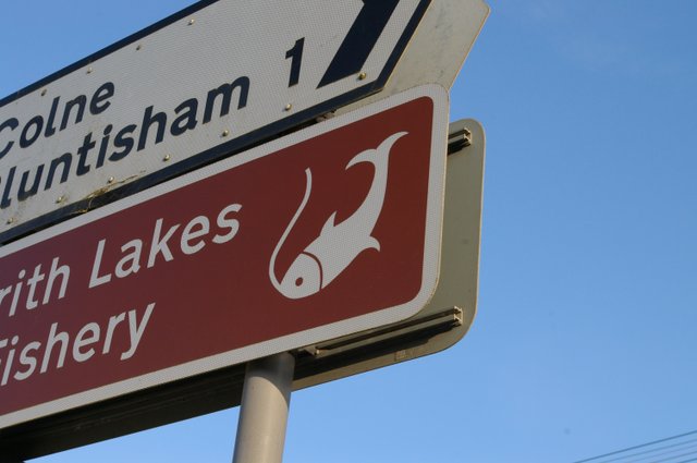
Colnefields
Settlement in Huntingdonshire Huntingdonshire
England
Colnefields
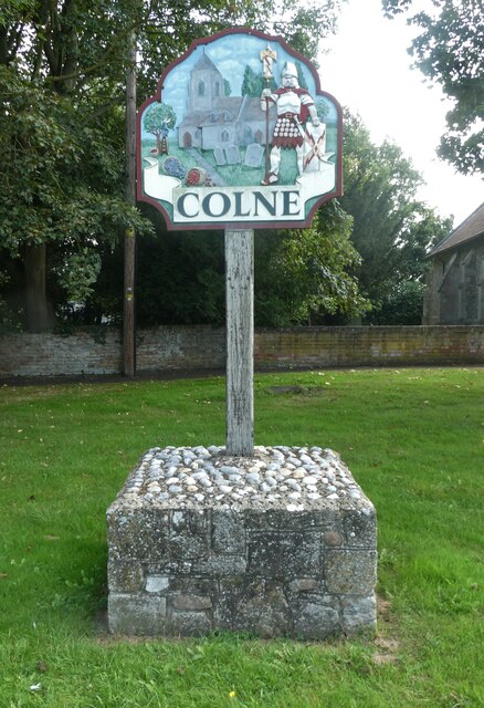
Colnefields is a picturesque village located in the historic county of Huntingdonshire, England. Situated in the rural countryside, it is surrounded by rolling green hills and offers stunning views of the Cambridgeshire landscape. With a population of approximately 500 residents, Colnefields retains a close-knit community atmosphere.
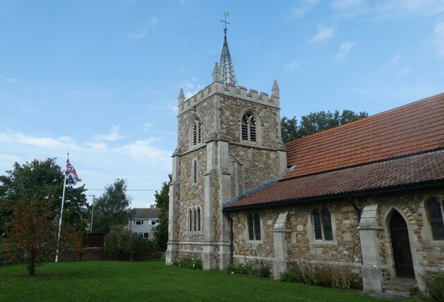
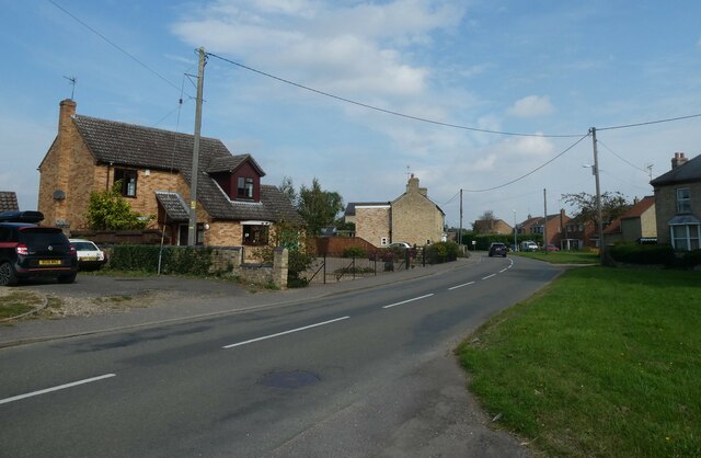
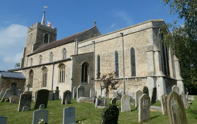
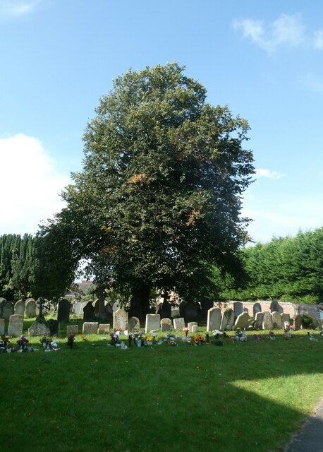
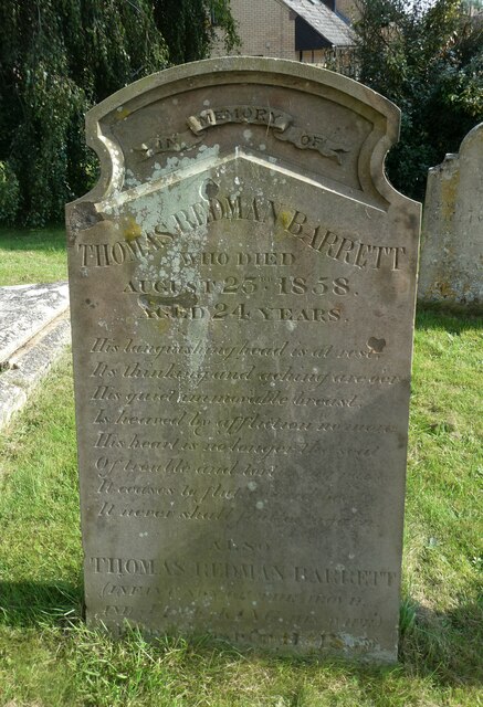
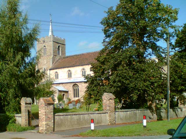
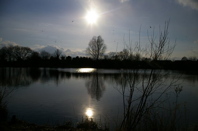
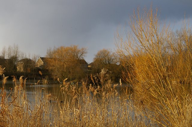
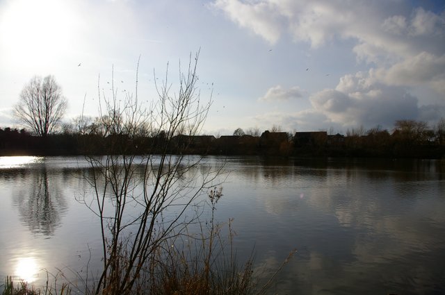
The village is known for its charming thatched cottages and traditional architecture, which add to its idyllic appeal. The local church, St. Mary's, is a prominent feature and dates back to the 12th century, showcasing the village's rich history. A peaceful river, the Colne, flows through the village, providing a tranquil setting for leisurely walks and outdoor activities.
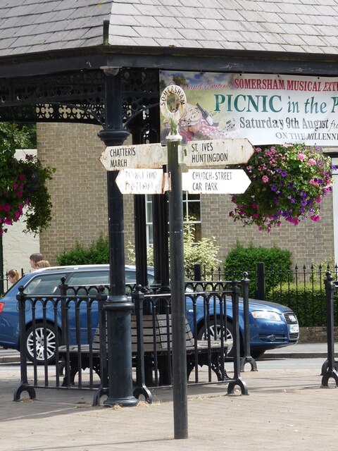
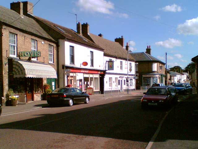
Colnefields benefits from its proximity to larger towns such as Huntingdon and St. Ives, which offer a range of amenities including shops, schools, and healthcare facilities. The village itself has a small convenience store and a pub that serves as a gathering place for locals.
The surrounding countryside provides ample opportunities for outdoor enthusiasts, with numerous walking and cycling routes available. Wildlife is abundant in the area, making it an ideal location for birdwatching and nature enthusiasts.
Transport links are easily accessible, with the A14 road nearby, connecting Colnefields to major cities such as Cambridge and Peterborough. Additionally, the village is served by regular bus services, providing convenient connections to nearby towns and villages.
Overall, Colnefields offers a peaceful and picturesque setting, making it an attractive place to live for those seeking a rural retreat within reach of modern amenities.
If you have any feedback on the listing, please let us know in the comments section below.
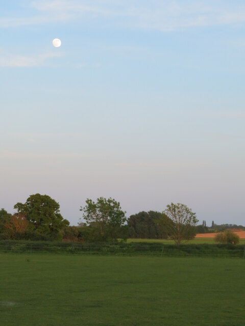
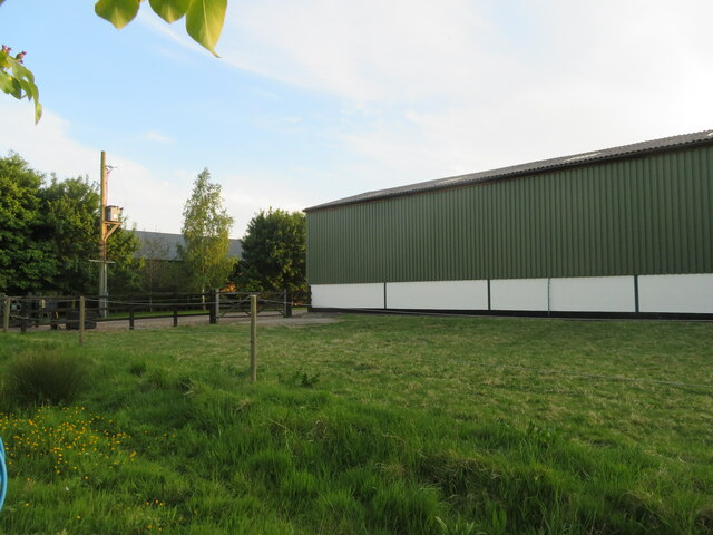
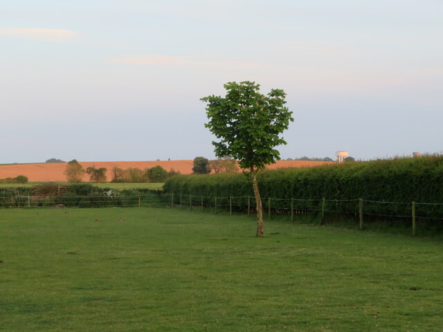
Colnefields Images
Images are sourced within 2km of 52.373918/0.01104518 or Grid Reference TL3777. Thanks to Geograph Open Source API. All images are credited.
Colnefields is located at Grid Ref: TL3777 (Lat: 52.373918, Lng: 0.01104518)
Administrative County: Cambridgeshire
District: Huntingdonshire
Police Authority: Cambridgeshire
What 3 Words
///twins.quaking.primed. Near Somersham, Cambridgeshire
Nearby Locations
Related Wikis

Somersham railway station
Somersham railway station was a station in Somersham, Cambridgeshire on the Great Eastern Railway between March and St Ives. There was also a branch line...

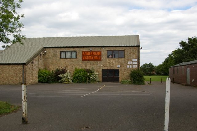
Somersham
Somersham is a village and civil parish in Cambridgeshire, England. Somersham lies approximately 9 miles (14 km) east of Huntingdon and 4 miles (6 km)...
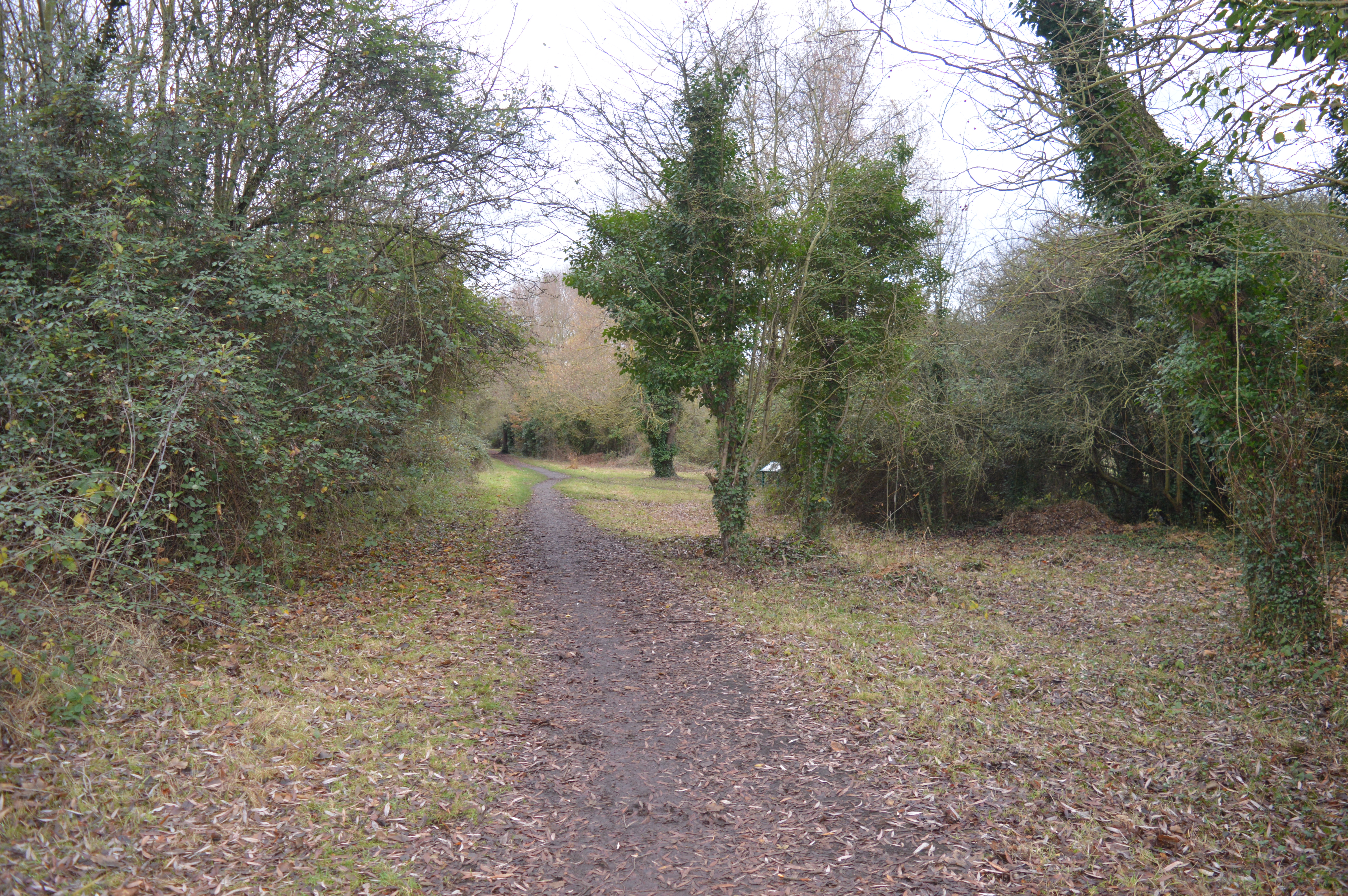
Somersham Local Nature Reserve
Somersham Local Nature Reserve is an 8.9 hectare Local Nature Reserve in Somersham in Cambridgeshire. It is owned and managed by Cambridgeshire County...

Somersham Town F.C.
Somersham Town Football Club is a football club based in Somersham, near St Ives in Cambridgeshire, England. They club are members of the Cambridgeshire...

Colne, Cambridgeshire
Colne is a village and civil parish in Cambridgeshire, England. Colne lies about 9 miles (14 km) east of Huntingdon; the villages of Bluntisham, Woodhurst...

Berry Fen
Berry Fen is a 15.3-hectare (38-acre) biological Site of Special Scientific Interest on the western outskirts of Earith in Cambridgeshire.This neutral...

Bluntisham
Bluntisham is a village and civil parish in Cambridgeshire, England. The population of the civil parish at the 2011 census was 2,003. Bluntisham lies approximately...
Earith
Earith is a village and civil parish in Cambridgeshire, England. Lying approximately 10 miles (16 km) east of Huntingdon, Earith is situated within Huntingdonshire...
Nearby Amenities
Located within 500m of 52.373918,0.01104518Have you been to Colnefields?
Leave your review of Colnefields below (or comments, questions and feedback).