Hale Fields
Downs, Moorland in Huntingdonshire Huntingdonshire
England
Hale Fields
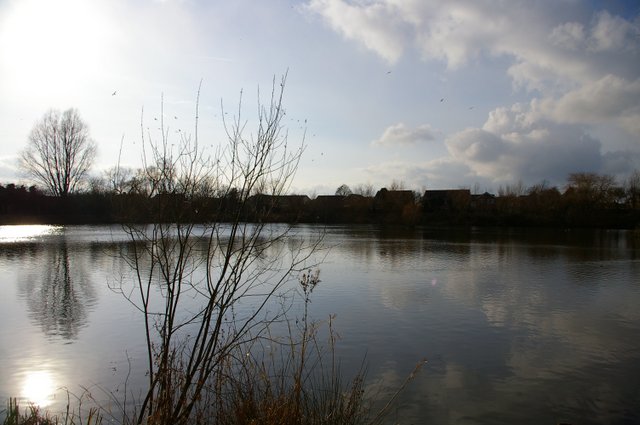
Hale Fields is a picturesque area located in Huntingdonshire, known for its stunning downs and moorland landscapes. Situated in the eastern part of England, this region offers a diverse range of natural beauty and is a haven for nature enthusiasts.
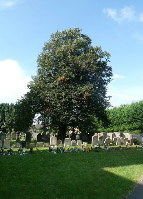
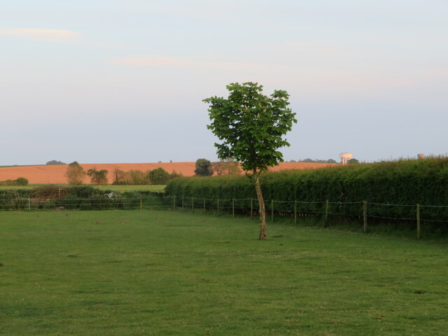
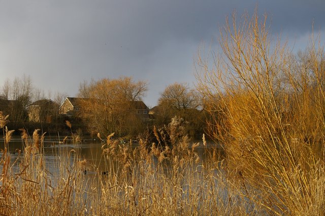
The downs of Hale Fields are characterized by rolling hills covered in lush green grass, offering breathtaking views of the surrounding countryside. These hills are home to a rich variety of flora and fauna, making it an ideal spot for hikers and wildlife lovers. The slopes are adorned with wildflowers during the spring and summer months, creating a vibrant and colorful atmosphere.
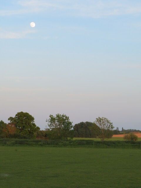
In contrast, the moorland of Hale Fields provides a different landscape altogether. Here, visitors can explore vast stretches of open land, covered in heather and gorse bushes. The moorland is a haven for birdwatchers, as it attracts a wide array of avian species, including kestrels, skylarks, and meadow pipits. The dramatic scenery and peaceful ambiance make the moorland a popular destination for those seeking tranquility and solitude.
Hale Fields also offers a network of well-maintained trails and footpaths, allowing visitors to explore the area at their own pace. The local authorities have taken great care to preserve the natural beauty of the region, ensuring that it remains a haven for both wildlife and visitors alike.
Overall, Hale Fields in Huntingdonshire is a stunning area that showcases the beauty of downs and moorland. With its diverse landscapes and abundant wildlife, it is a must-visit destination for anyone seeking a connection with nature and a tranquil escape from the hustle and bustle of everyday life.
If you have any feedback on the listing, please let us know in the comments section below.
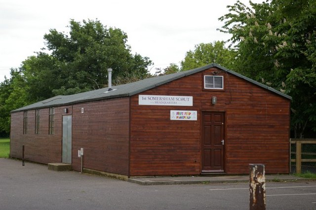
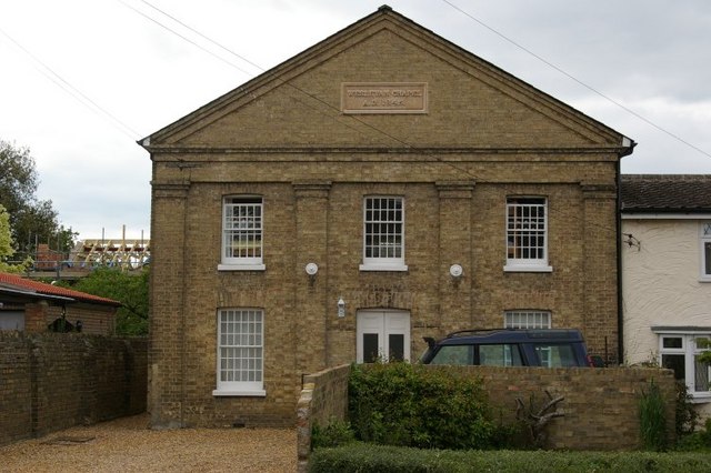
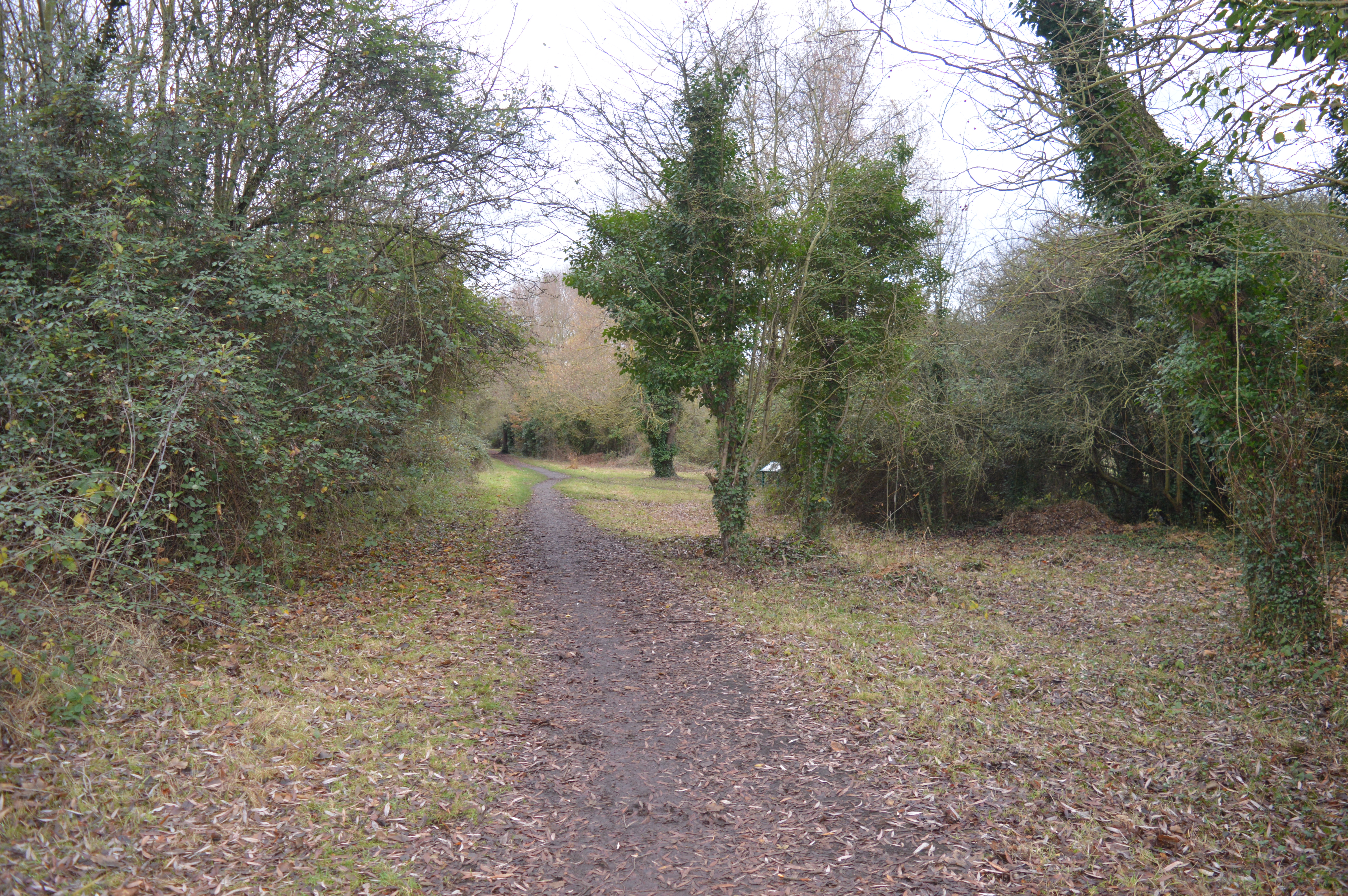
Hale Fields Images
Images are sourced within 2km of 52.376571/0.015264765 or Grid Reference TL3777. Thanks to Geograph Open Source API. All images are credited.
Hale Fields is located at Grid Ref: TL3777 (Lat: 52.376571, Lng: 0.015264765)
Administrative County: Cambridgeshire
District: Huntingdonshire
Police Authority: Cambridgeshire
What 3 Words
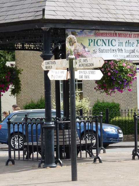
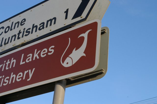
///heat.fizzle.hazel. Near Somersham, Cambridgeshire
Nearby Locations
Related Wikis

Somersham railway station
Somersham railway station was a station in Somersham, Cambridgeshire on the Great Eastern Railway between March and St Ives. There was also a branch line...
Somersham Local Nature Reserve
Somersham Local Nature Reserve is an 8.9 hectare Local Nature Reserve in Somersham in Cambridgeshire. It is owned and managed by Cambridgeshire County...

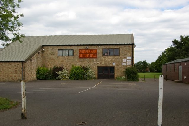
Somersham
Somersham is a village and civil parish in Cambridgeshire, England. Somersham lies approximately 9 miles (14 km) east of Huntingdon and 4 miles (6 km)...

Somersham Town F.C.
Somersham Town Football Club is a football club based in Somersham, near St Ives in Cambridgeshire, England. They club are members of the Cambridgeshire...

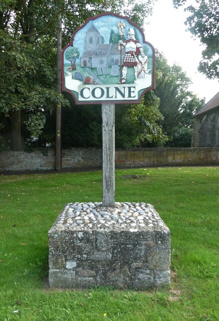
Colne, Cambridgeshire
Colne is a village and civil parish in Cambridgeshire, England. Colne lies about 9 miles (14 km) east of Huntingdon; the villages of Bluntisham, Woodhurst...

Berry Fen
Berry Fen is a 15.3-hectare (38-acre) biological Site of Special Scientific Interest on the western outskirts of Earith in Cambridgeshire.This neutral...

Bluntisham
Bluntisham is a village and civil parish in Cambridgeshire, England. The population of the civil parish at the 2011 census was 2,003. Bluntisham lies approximately...
Earith
Earith is a village and civil parish in Cambridgeshire, England. Lying approximately 10 miles (16 km) east of Huntingdon, Earith is situated within Huntingdonshire...
Nearby Amenities
Located within 500m of 52.376571,0.015264765Have you been to Hale Fields?
Leave your review of Hale Fields below (or comments, questions and feedback).