Colney
Settlement in Norfolk South Norfolk
England
Colney
Colney is a small village located in the county of Norfolk, England. Situated approximately 6 miles west of the city of Norwich, it is part of the South Norfolk district. The village is nestled among picturesque farmland and beautiful countryside, offering a tranquil and idyllic setting.
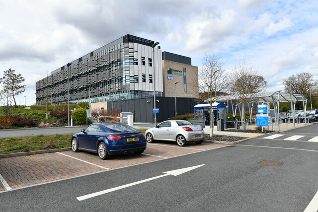
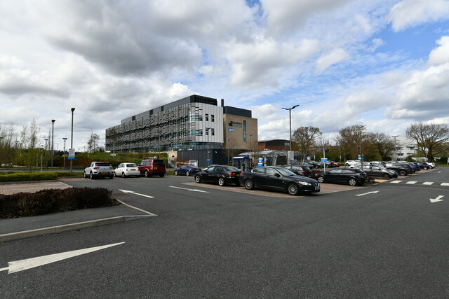
Colney is primarily known for its proximity to the Norfolk and Norwich University Hospital, one of the largest and most prestigious hospitals in the region. The hospital provides a range of medical services to the local community and is a major employer in the area. This has led to the development of various amenities and services around the village, including shops, restaurants, and other facilities to cater to the needs of hospital staff, patients, and visitors.
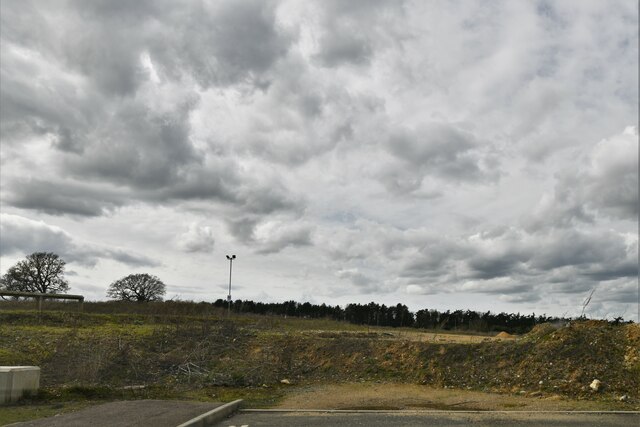
Despite its close association with the hospital, Colney has managed to maintain its rural charm. The village features a mix of traditional and modern architecture, with a scattering of charming cottages and modern housing developments. The surrounding countryside offers ample opportunities for outdoor activities such as walking, cycling, and horse riding, with numerous footpaths and bridleways crisscrossing the area.
Colney benefits from excellent transportation links, with easy access to the A47 road and regular bus services connecting it to Norwich and other nearby towns. The village enjoys a close-knit community atmosphere, with various local events and activities bringing residents together.
Overall, Colney is a peaceful and well-connected village, offering a balance between rural living and access to essential amenities, making it an attractive place to reside.
If you have any feedback on the listing, please let us know in the comments section below.
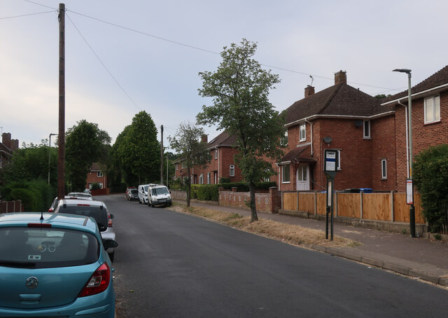
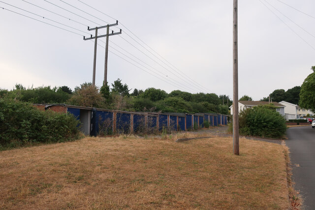
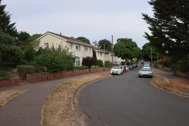
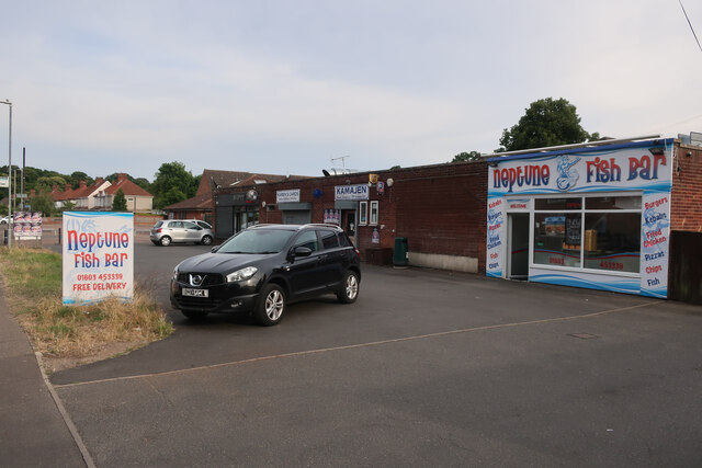
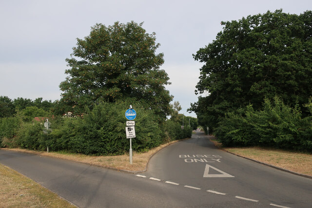
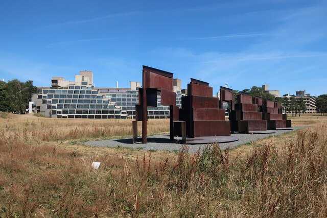
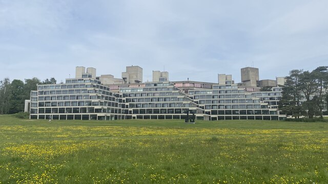
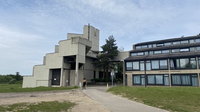
Colney Images
Images are sourced within 2km of 52.622636/1.223526 or Grid Reference TG1807. Thanks to Geograph Open Source API. All images are credited.


Colney is located at Grid Ref: TG1807 (Lat: 52.622636, Lng: 1.223526)
Administrative County: Norfolk
District: South Norfolk
Police Authority: Norfolk
What 3 Words
///squad.games.anyone. Near Bowthorpe, Norfolk
Nearby Locations
Related Wikis

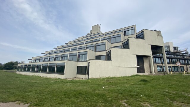
Norwich Research Park
Norwich Research Park is a business community located to the southwest of Norwich in East Anglia close to the A11 and the A47 roads. Set in over 230 hectares...
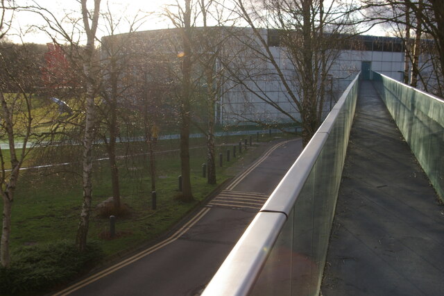
Norwich Radiology Academy
The Norwich Radiology Academy, opened in November 2005, is part of the Norfolk and Norwich University Hospital NHS Trust and is one of only three training...

Colney
Colney () is a village in the western outskirts of Norwich in the English county of Norfolk. == History == Colney's name is of Anglo-Saxon origin and derives...
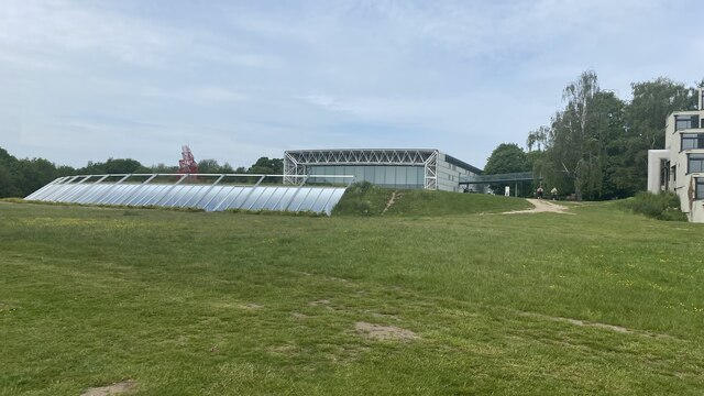
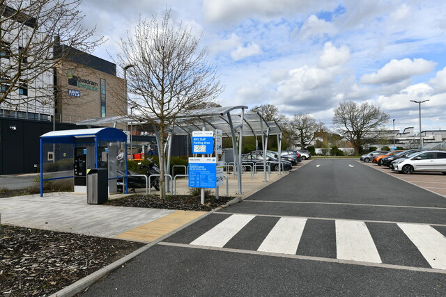
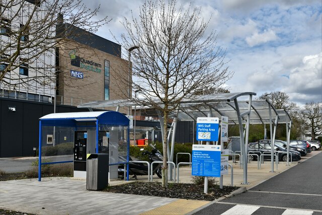
Quadram Institute
The Quadram Institute is a centre for food and health research, combining Quadram Institute Bioscience (formerly the Institute of Food Research), the Norfolk...
Nearby Amenities
Located within 500m of 52.622636,1.223526Have you been to Colney?
Leave your review of Colney below (or comments, questions and feedback).