Colne Engaine

Settlement in Essex Braintree

England

Colne Engaine

Passing The Lion, Earls Colne – 1971 The Lion dates back to as early as the 14th century.

Hedingham and District bus L42 on a works service. This was a family business set up in 1960 in Sible Hedingham which survived the upheavals of the 1985 Transport Act to continue to provide local bus services in the area, finally selling to the Go-Ahead group in 2012. The Hedingham fleetname continues to be used.

Bus L42 is a Bristol LS with ECW body, originally new to Eastern National in 1955.

This is one of a series of views featuring buses in the 60s, 70s, and 80s. <a title="https://www.geograph.org.uk/search.php?i=137652761" href="https://www.geograph.org.uk/search.php?i=137652761">Link</a>
Passing The Lion, Earls Colne – 1971 Credit: Alan Murray-Rust

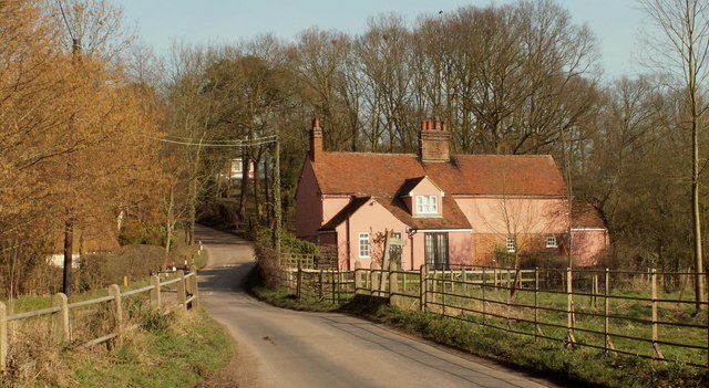
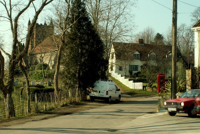
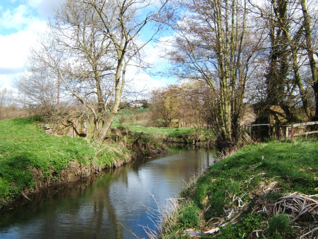
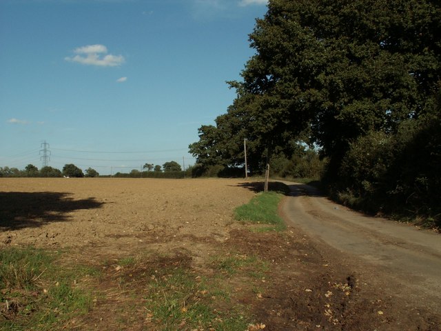
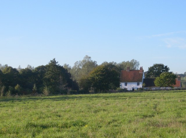
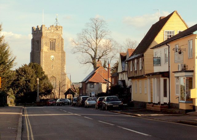
Colne Engaine is a picturesque village located in the county of Essex, England. Situated approximately 10 miles northeast of the town of Colchester, it falls within the Braintree district. The village is nestled in the rolling countryside, surrounded by lush green fields and woodland, providing a tranquil and scenic setting.

With a population of around 400 residents, Colne Engaine has a close-knit community that prides itself on its strong sense of community spirit. The village is known for its friendly and welcoming atmosphere, making it an attractive destination for both residents and visitors alike.

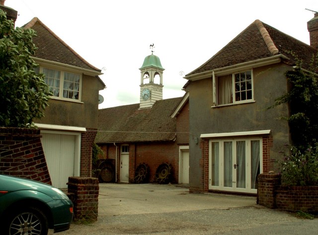
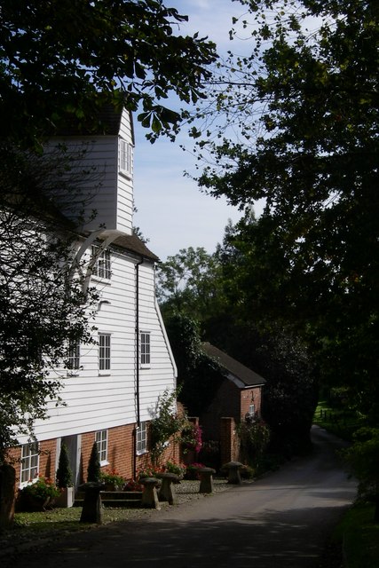
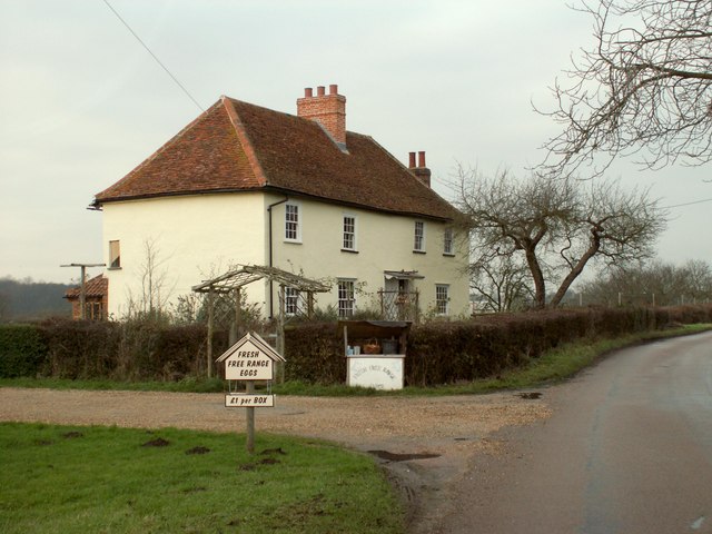
Colne Engaine boasts a rich history, with evidence of settlements dating back to Roman times. The village is home to several historic buildings, including the Grade II listed St. Andrew's Church, which dates back to the 13th century. Other notable landmarks include the former primary school building, now converted into a community center, and the Colne Valley Railway, a preserved heritage railway that runs through the village.

The village offers a range of amenities to cater to the needs of its residents, including a village shop, a pub, and a village hall that hosts various events and activities throughout the year. Its rural location also provides ample opportunities for outdoor activities, such as walking, cycling, and horse riding, with numerous footpaths and bridleways crisscrossing the surrounding countryside.

Overall, Colne Engaine is a charming and idyllic village that offers a peaceful and picturesque lifestyle, steeped in history and surrounded by natural beauty.

If you have any feedback on the listing, please let us know in the comments section below.

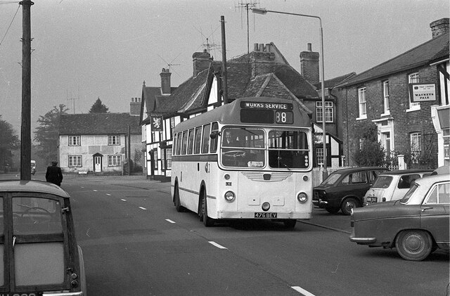
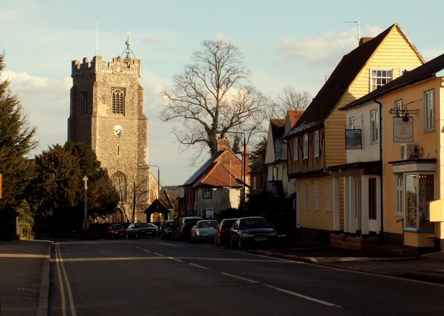
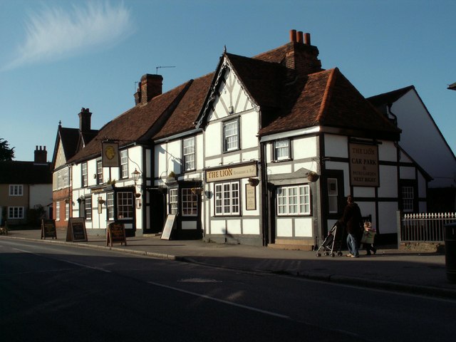
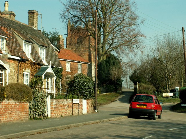
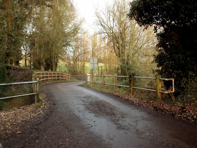
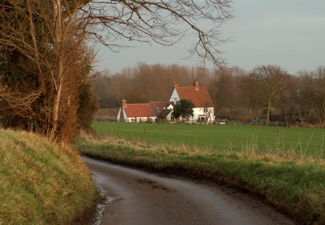
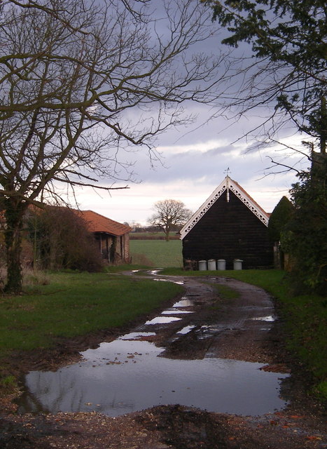
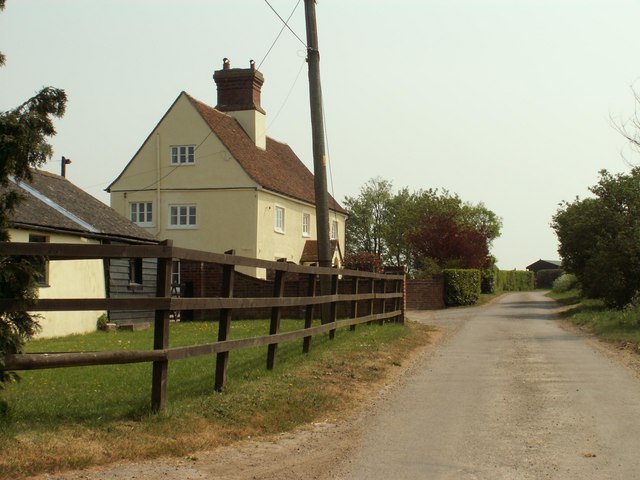
Colne Engaine Images

Images are sourced within 2km of 51.94259/0.691524 or Grid Reference TL8530. Thanks to Geograph Open Source API. All images are credited.

Passing The Lion, Earls Colne – 1971 The Lion dates back to as early as the 14th century.

Hedingham and District bus L42 on a works service. This was a family business set up in 1960 in Sible Hedingham which survived the upheavals of the 1985 Transport Act to continue to provide local bus services in the area, finally selling to the Go-Ahead group in 2012. The Hedingham fleetname continues to be used.

Bus L42 is a Bristol LS with ECW body, originally new to Eastern National in 1955.

This is one of a series of views featuring buses in the 60s, 70s, and 80s. <a title="https://www.geograph.org.uk/search.php?i=137652761" href="https://www.geograph.org.uk/search.php?i=137652761">Link</a>
Passing The Lion, Earls Colne – 1971
The Lion dates back to as early as the 14th century. Hedingham and District bus L42 on a works service. This was a family business set up in 1960 in Sible Hedingham which survived the upheavals of the 1985 Transport Act to continue to provide local bus services in the area, finally selling to the Go-Ahead group in 2012. The Hedingham fleetname continues to be used. Bus L42 is a Bristol LS with ECW body, originally new to Eastern National in 1955. This is one of a series of views featuring buses in the 60s, 70s, and 80s. Link
Earls Colne, Essex This part of the town shows St. Andrews church at the eastern end of the High Street. Earls Colne gets its name from the de Vere family, the Earls of Oxford, who owned land in the Colne valley and some areas of Suffolk.
Earls Colne, Essex
This part of the town shows St. Andrews church at the eastern end of the High Street. Earls Colne gets its name from the de Vere family, the Earls of Oxford, who owned land in the Colne valley and some areas of Suffolk.
The Lion, public house, Earls Colne, Essex This 14th century Tudor Style inn stands at the top of the High Street on the right hand side as you head towards Halstead. It hasn't always been an inn. At one time the public bar, which is at the front, was a stilted building and used to house the indoor market.
The Lion, public house, Earls Colne, Essex
This 14th century Tudor Style inn stands at the top of the High Street on the right hand side as you head towards Halstead. It hasn't always been an inn. At one time the public bar, which is at the front, was a stilted building and used to house the indoor market.
Colne Engaine village, Essex This village stands on high ground in the Colne Valley and there are nice views from the church.
Colne Engaine village, Essex
This village stands on high ground in the Colne Valley and there are nice views from the church.
Country lane, east of Colne Engaine, Essex The road from Colne Engaine to Countess Cross.
Country lane, east of Colne Engaine, Essex
The road from Colne Engaine to Countess Cross.
Colne Engaine village, Essex Village scene showing St.Andrew's church hidden behind the trees.
Colne Engaine village, Essex
Village scene showing St.Andrew's church hidden behind the trees.
Bridge Out! This picture shows what is left of a bridge on the Colne Valley railway. The railway embankment to the right as far as White Colne was a nature reserve managed by Essex wildlife Trust <span class="nowrap"><a title="http://www.essexwt.org.uk/" rel="nofollow ugc noopener" href="http://www.essexwt.org.uk/">Link</a><img style="margin-left:2px;" alt="External link" title="External link - shift click to open in new window" src="https://s1.geograph.org.uk/img/external.png" width="10" height="10"/></span> however management has now passed back to the local authority. The photo was taken looking upstream.
Bridge Out!
This picture shows what is left of a bridge on the Colne Valley railway. The railway embankment to the right as far as White Colne was a nature reserve managed by Essex wildlife Trust LinkExternal link however management has now passed back to the local authority. The photo was taken looking upstream.
Knight's Farm, Bunting's Green, Colne Engaine, Essex
Field near Countess Cross, Essex
Overshot mill - Colne Engaine A beautifully restored watermill in a rural location
Overshot mill - Colne Engaine
A beautifully restored watermill in a rural location
Ford Mill - Colne valley An ancient farmhouse in the bottom of the Colne valley.
Ford Mill - Colne valley
An ancient farmhouse in the bottom of the Colne valley.
Farmhouse at Abbott's farm
Bridge on Elms Hall Road This bridge stands over the river Colne by Langley Mill.
Bridge on Elms Hall Road
This bridge stands over the river Colne by Langley Mill.
Ford Mill in the Colne Valley, near Colne Engaine
Farm road leading to Kennels
St. Andrew's church, Earls Colne, Essex This church stands at the east end of the village High Street. Parts of the church date back to the 14th century, such as the beautiful tower, but the church is also a result of much Victorian rebuilding. The battlements, with flushwork decoration dated 1534, bear the de Vere arms. The de Veres were the Earls of Oxford, hence the village name, who lived at nearby Castle Hedingham and owned much of the surrounding land.
St. Andrew's church, Earls Colne, Essex
This church stands at the east end of the village High Street. Parts of the church date back to the 14th century, such as the beautiful tower, but the church is also a result of much Victorian rebuilding. The battlements, with flushwork decoration dated 1534, bear the de Vere arms. The de Veres were the Earls of Oxford, hence the village name, who lived at nearby Castle Hedingham and owned much of the surrounding land.
"Barge boarding" Barge boarding on farm buildings at Countess Cross
"Barge boarding"
Barge boarding on farm buildings at Countess Cross
A view of Brickhouse Farm, along Brickhouse Road
Show me another place!

Colne Engaine is located at Grid Ref: TL8530 (Lat: 51.94259, Lng: 0.691524)

Administrative County: Essex

District: Braintree

Police Authority: Essex

What 3 Words

///octagonal.slimmer.romantics. Near Earls Colne, Essex

Related Wikis

Colne Engaine

Colne Engaine is a village and a civil parish in Essex, England, situated just north of the River Colne and of the larger village of Earls Colne, approximately...

Earls Colne railway station

Earls Colne railway station was located in Earls Colne, Essex. It was 53 miles 77 chains (86.84 km) from London Liverpool Street via Marks Tey. == References... ==

Countess Cross

Countess Cross is a hamlet in the civil parish of Colne Engaine, near the town of Halstead in the Braintree district, in the English county of Essex....

Colne Valley, Essex

Colne Valley is a 5.1 hectare Local Nature Reserve north and east of Earls Colne in Essex. It is owned and managed by Colchester Borough Council.The site...

Earls Colne

Earls Colne is a village in Essex, England named after the River Colne, on which it stands, and the Earls of Oxford who held the manor of Earls Colne from...

Earls Colne Grammar School

Earls Colne Grammar School was a grammar school in Earls Colne, Essex, England that was founded in 1520 and closed in 1975. == History == === Foundation... ===

Brickfield and Long Meadow

Brickfield and Long Meadow is a 3.9 hectare Local Nature Reserve in Earls Colne in Essex, England. There is access by footpaths from Park Lane, Church...

Colne Priory

Colne Priory at Earls Colne, Essex was a Benedictine priory, initially a dependent cell of Abingdon Abbey, Berkshire (now in Oxfordshire). It was founded...

Nearby Amenities

Located within 500m of 51.94259,0.691524
Colne Engaine
Created By: Potlatch 0.10f
Is In: Essex
Place: village
Lat/Long: 51.9414186/0.6929929
Post Box
Operator: Royal Mail
Post Box Type: lamp
Lat/Long: 51.9419302/0.691522
Post Box
Operator: Royal Mail
Lat/Long: 51.9412862/0.6864402
Oddcroft
Naptan AtcoCode: 150027008013
Naptan Bearing: NE
Naptan BusStopType: CUS
Naptan CommonName: Station Road
Naptan Crossing: Oddcroft
Naptan Indicator: NE-bound
Naptan Landmark: Station Road
Naptan NaptanCode: esxdjtam
Naptan Street: Station Road
Naptan Verified: no
Public Transport: platform
Source: naptan_import
Lat/Long: 51.9393452/0.6875201
Brook Street
Naptan AtcoCode: 150027008016
Naptan Bearing: SW
Naptan BusStopType: CUS
Naptan CommonName: Church Street
Naptan Crossing: Brook Street
Naptan Indicator: SW-bound
Naptan Landmark: Church Street
Naptan NaptanCode: esxgdjpa
Naptan Street: Church Street
Naptan Verified: no
Public Transport: platform
Source: naptan_import
Lat/Long: 51.9410424/0.6896006
Oddcroft
Naptan AtcoCode: 1500270080Y3
Naptan Bearing: SW
Naptan BusStopType: CUS
Naptan CommonName: Station Road
Naptan Crossing: Oddcroft
Naptan Indicator: SW-bound
Naptan Landmark: Station Road
Naptan NaptanCode: esxgtpja
Naptan Street: Station Road
Naptan Verified: no
Public Transport: platform
Source: naptan_import
Lat/Long: 51.9392993/0.687561
Brook Street
Naptan AtcoCode: 1500270080Y6
Naptan Bearing: NE
Naptan BusStopType: CUS
Naptan CommonName: Church Street
Naptan Crossing: Brook Street
Naptan Indicator: NE-bound
Naptan Landmark: Church Street
Naptan NaptanCode: esxgtgmg
Naptan Street: Church Street
Naptan Verified: no
Public Transport: platform
Source: naptan_import
Lat/Long: 51.941071/0.6895295
The Green
Naptan AtcoCode: 1500IM718
Naptan Bearing: NE
Naptan BusStopType: CUS
Naptan CommonName: The Green
Naptan Crossing: Pebmarsh Road
Naptan Indicator: NE-bound
Naptan Landmark: The Green
Naptan NaptanCode: esxdjtag
Naptan Street: Church Street
Naptan Verified: no
Public Transport: platform
Source: naptan_import
Lat/Long: 51.941571/0.691262
The Green
Naptan AtcoCode: 1500IM718B
Naptan Bearing: SW
Naptan BusStopType: CUS
Naptan CommonName: The Green
Naptan Crossing: Pebmarsh Road
Naptan Indicator: SW-bound
Naptan Landmark: The Green
Naptan NaptanCode: esxadwmg
Naptan Street: Church Street
Naptan Verified: no
Public Transport: platform
Source: naptan_import
Lat/Long: 51.9417978/0.6915666
Pub
Five Bells
Lat/Long: 51.9405014/0.6916394
Defibrillator
Booth: K6
Covered: booth
Defibrillator Location: in phone box
Disused Amenity: telephone
Emergency: defibrillator
Man Made: telephone_box
Ref GB The Circuit: 22BFB390-D056-4FA5-B42B-AEB300F25BA6
Lat/Long: 51.9408545/0.6911208
The Colne Engaine Village Shop
Shop: convenience
Source: GPS survey
Lat/Long: 51.9418608/0.6914292
Crossing
Lat/Long: 51.9412332/0.6852628
Crossing
Lat/Long: 51.9412347/0.6852813
Crossing
Lat/Long: 51.9412318/0.6852451
The data included in this document is from www.openstreetmap.org. The data is made available under ODbL.

Have you been to Colne Engaine?

Leave your review of Colne Engaine below (or comments, questions and feedback).