Blacklains Wood
Wood, Forest in Somerset South Somerset
England
Blacklains Wood
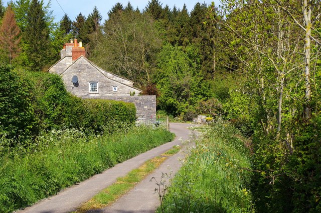
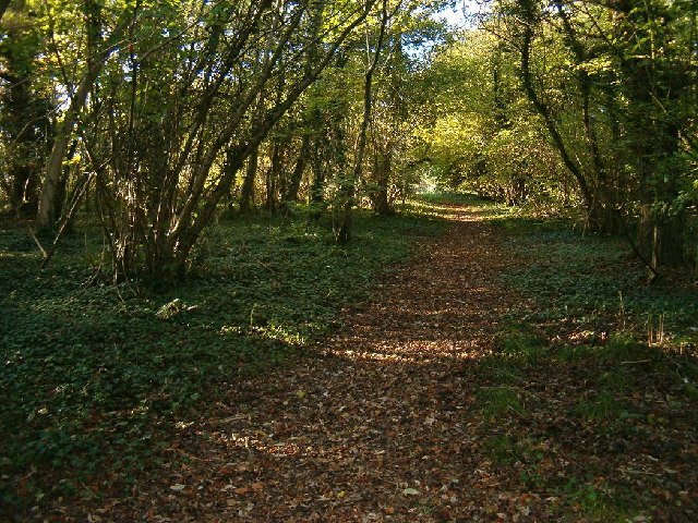
Blacklains Wood is a picturesque forest located in Somerset, England. Spanning over 400 acres, it is one of the largest remaining areas of ancient woodland in the county. The wood is situated near the village of Blacklains and is easily accessible to visitors.
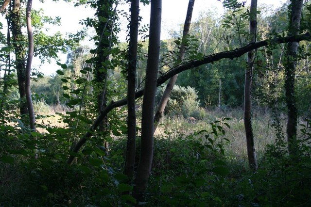
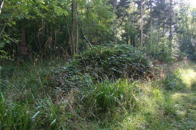
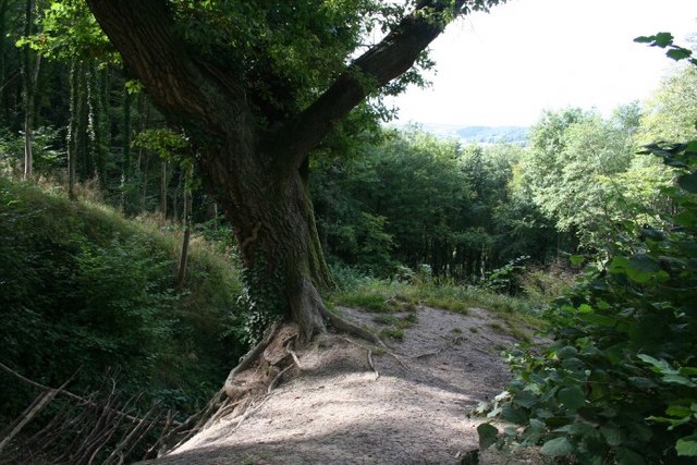
The woodland is characterized by its diverse range of tree species, including oak, beech, ash, and hazel. These trees provide a dense canopy, creating a cool and tranquil atmosphere. There is an abundance of wildlife in the area, with various bird species, mammals, insects, and reptiles calling the wood their home.
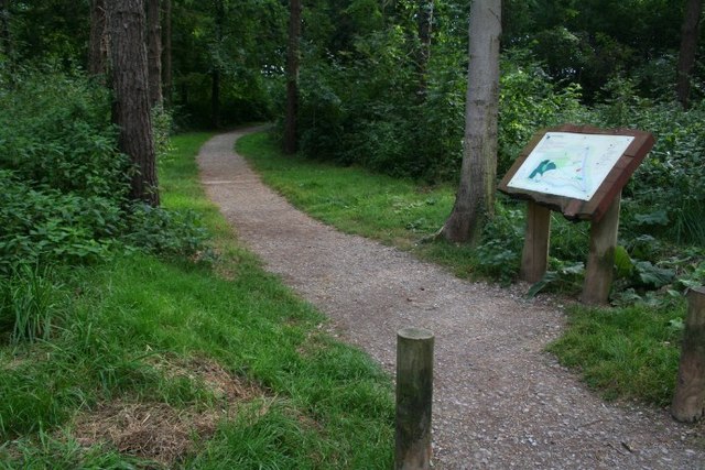
Blacklains Wood offers a network of well-maintained footpaths and trails, allowing visitors to explore and appreciate the natural beauty of the forest. The paths wind through the trees, providing glimpses of sunlight filtering through the foliage. There are also several picnic areas and benches scattered throughout the wood, providing the perfect opportunity to relax and immerse oneself in nature.
The forest is managed by a dedicated team of conservationists, who work to maintain and preserve the woodland's ecological balance. They ensure that the wood remains a haven for wildlife and that any disturbances are kept to a minimum.
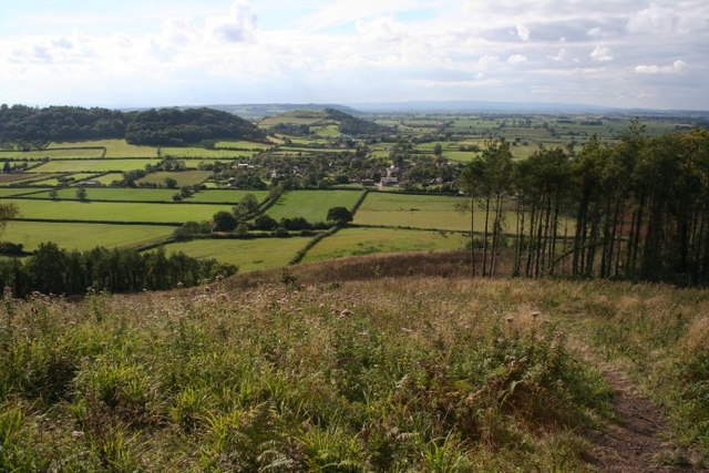
Blacklains Wood is a popular destination for nature lovers, walkers, and families seeking a peaceful retreat. Its natural beauty, diverse wildlife, and well-maintained trails make it an ideal location for outdoor activities and a place to reconnect with nature.
If you have any feedback on the listing, please let us know in the comments section below.
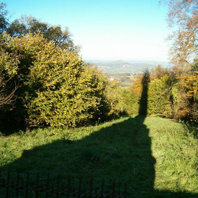
Blacklains Wood Images
Images are sourced within 2km of 51.086687/-2.7157932 or Grid Reference ST4932. Thanks to Geograph Open Source API. All images are credited.


Blacklains Wood is located at Grid Ref: ST4932 (Lat: 51.086687, Lng: -2.7157932)
Administrative County: Somerset
District: South Somerset
Police Authority: Avon and Somerset
What 3 Words
///innocence.owned.reaction. Near Street, Somerset
Nearby Locations
Related Wikis

Great Breach and Copley Woods
Great Breach and Copley Woods (grid reference ST500320) is a 64.8 hectare (160 acre) biological Site of Special Scientific Interest 1 km south of Compton...

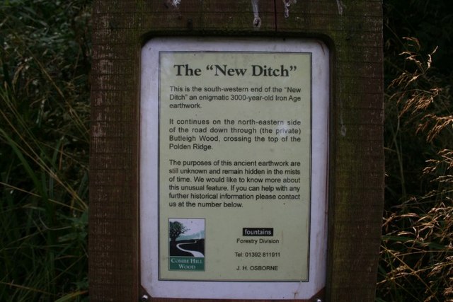
New Ditch
New Ditch is a linear earthwork of possible Iron Age or Medieval construction. It partially crosses the Polden Hills in woodlands approximately 1.1 miles...

Compton Dundon
Compton Dundon is a village and civil parish in Somerset, England, lying beside King's Sedgemoor and the Polden Hills, 5 miles (8 km) south of Glastonbury...
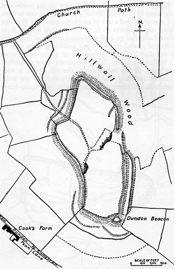
Dundon Hill Hillfort
Dundon Hill Hillfort is an Iron Age hillfort in Compton Dundon, Somerset, England. It has been designated as a Scheduled Ancient Monument. South east of...

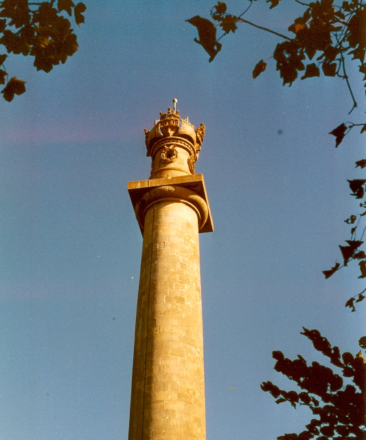
Admiral Hood Monument
The Admiral Hood Monument is a memorial column to Sir Samuel Hood on a hill near Butleigh in the parish of Compton Dundon, Somerset, England. It was completed...

Church of St Andrew, Compton Dundon
The Anglican Church of St Andrew Compton Dundon, Somerset, England was built in the 14th century. It is a Grade II* listed building. == History == The...

Wessex (ward)
Wessex is an electoral ward of South Somerset District Council in Somerset, England. It is one of the wards that makes up the parliamentary constituency...
East Polden Grasslands
East Polden Grasslands (grid reference ST474325) is a 124 hectare biological Site of Special Scientific Interest on the Polden Hills in Somerset, notified...
Have you been to Blacklains Wood?
Leave your review of Blacklains Wood below (or comments, questions and feedback).