Gilling Down
Downs, Moorland in Somerset South Somerset
England
Gilling Down
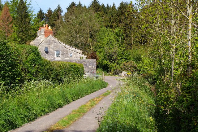
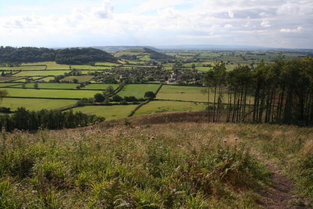
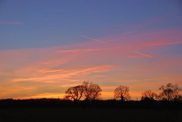
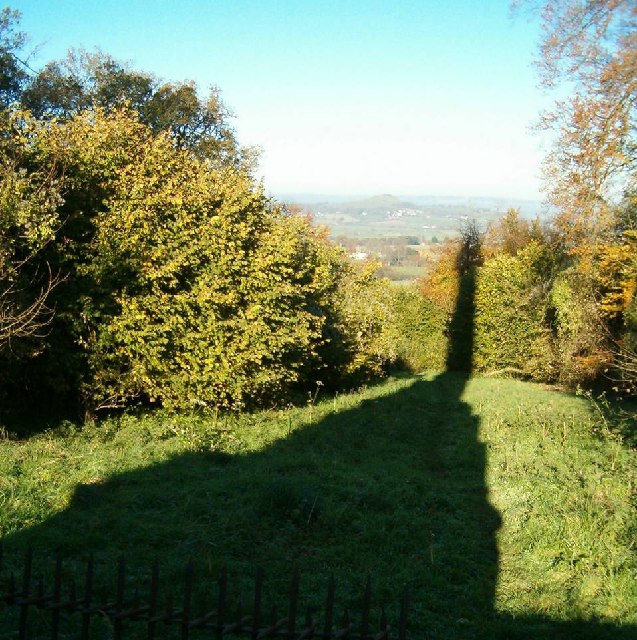
Gilling Down is a picturesque area located in Somerset, England. It is characterized by its rolling hills, open moorland, and diverse wildlife, making it a popular destination for nature enthusiasts and hikers. The downs stretch over an expansive area, offering breathtaking views of the surrounding countryside.
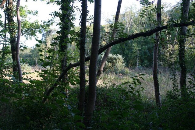
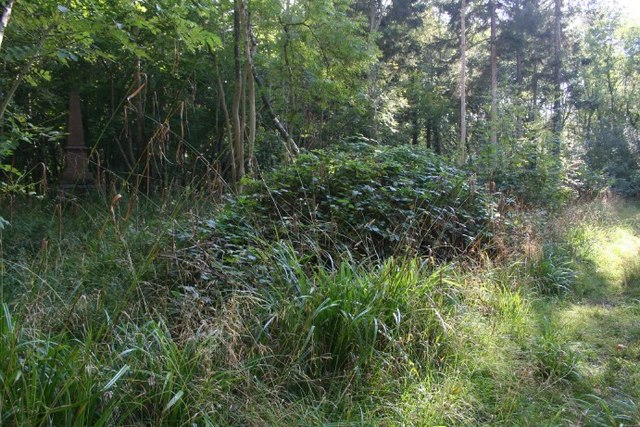
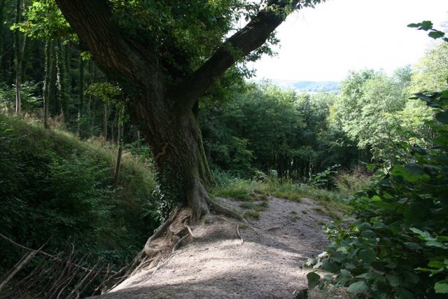
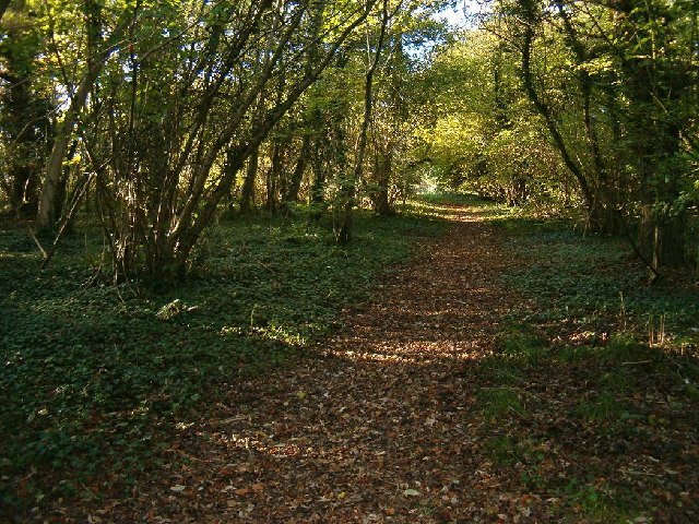
The terrain of Gilling Down is primarily made up of grassy slopes and heathland, with patches of woodland scattered throughout. This diverse landscape provides a habitat for a wide range of plant and animal species. Visitors to the area can expect to see an array of wildflowers, including heather, gorse, and foxgloves. The downs are also home to various bird species, such as skylarks and stonechats, as well as small mammals like rabbits and voles.
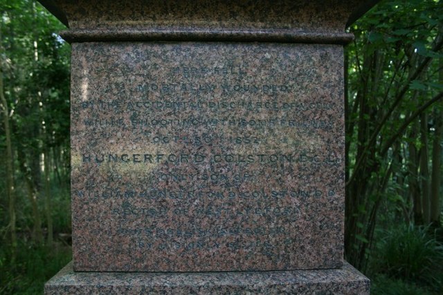
In addition to its natural beauty, Gilling Down has historical significance. The area is dotted with ancient monuments, including burial mounds, stone circles, and barrows, which serve as reminders of its rich cultural heritage. These landmarks provide a glimpse into the lives of early settlers and offer a sense of connection to the past.
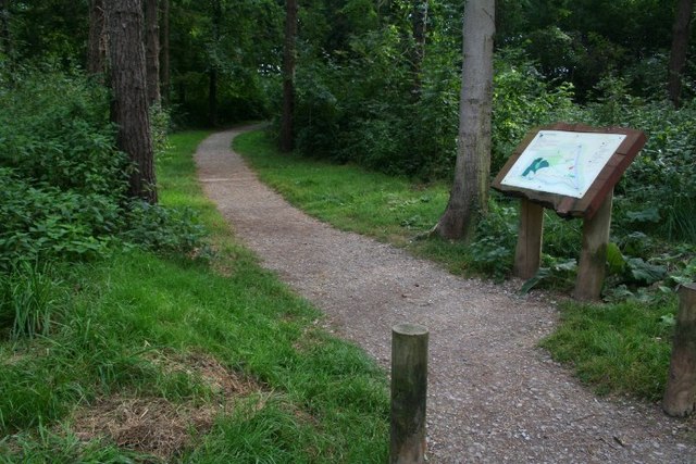
The downs are also crisscrossed by a network of footpaths and trails, making it an ideal location for outdoor activities. Hikers and walkers can explore the area at their leisure, taking in the stunning views and immersing themselves in the tranquil surroundings. There are also opportunities for horse riding and cycling, allowing visitors to further enjoy the natural beauty of Gilling Down.
Overall, Gilling Down is a captivating destination that offers a blend of natural beauty, historical significance, and recreational opportunities. Whether you are a nature lover, history enthusiast, or simply seeking a peaceful retreat, Gilling Down is sure to leave a lasting impression.
If you have any feedback on the listing, please let us know in the comments section below.
Gilling Down Images
Images are sourced within 2km of 51.087461/-2.7186607 or Grid Reference ST4932. Thanks to Geograph Open Source API. All images are credited.
Gilling Down is located at Grid Ref: ST4932 (Lat: 51.087461, Lng: -2.7186607)
Administrative County: Somerset
District: South Somerset
Police Authority: Avon and Somerset
What 3 Words
///relocated.turkeys.bulbs. Near Street, Somerset
Nearby Locations
Related Wikis

Great Breach and Copley Woods
Great Breach and Copley Woods (grid reference ST500320) is a 64.8 hectare (160 acre) biological Site of Special Scientific Interest 1 km south of Compton...

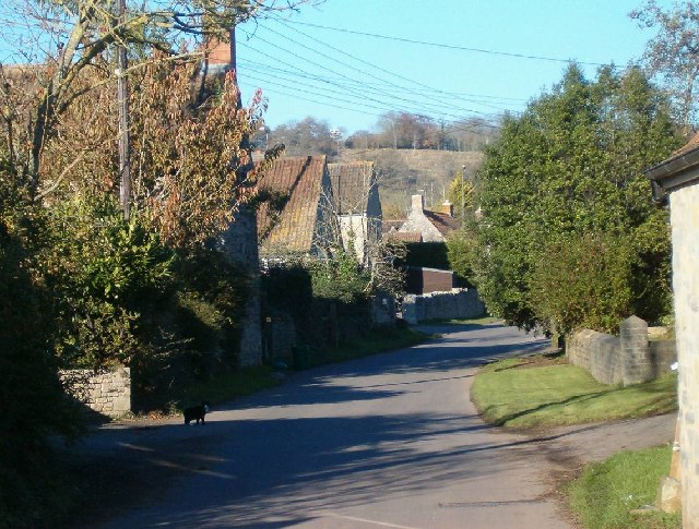
Compton Dundon
Compton Dundon is a village and civil parish in Somerset, England, lying beside King's Sedgemoor and the Polden Hills, 5 miles (8 km) south of Glastonbury...

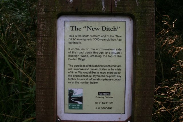
New Ditch
New Ditch is a linear earthwork of possible Iron Age or Medieval construction. It partially crosses the Polden Hills in woodlands approximately 1.1 miles...
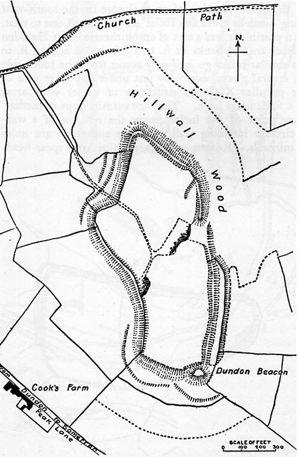
Dundon Hill Hillfort
Dundon Hill Hillfort is an Iron Age hillfort in Compton Dundon, Somerset, England. It has been designated as a Scheduled Ancient Monument. South east of...
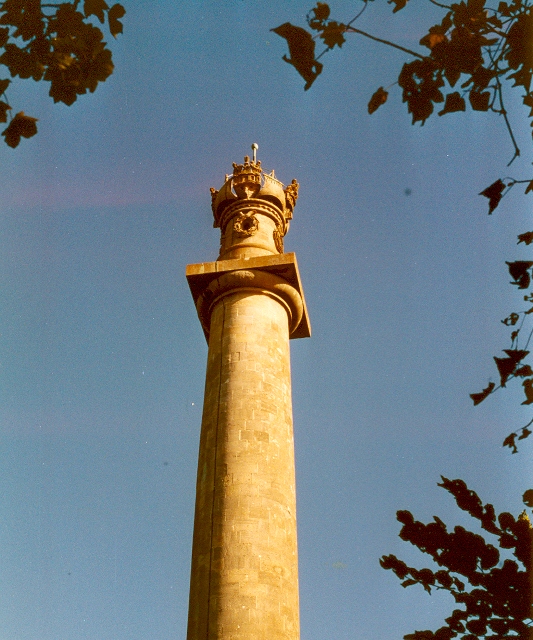
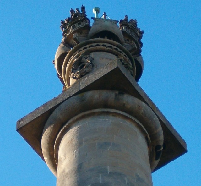
Admiral Hood Monument
The Admiral Hood Monument is a memorial column to Sir Samuel Hood on a hill near Butleigh in the parish of Compton Dundon, Somerset, England. It was completed...

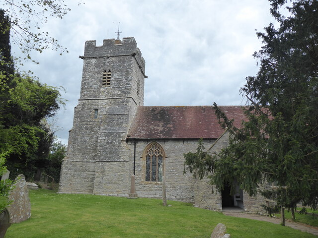
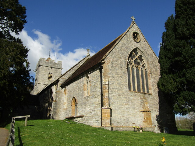
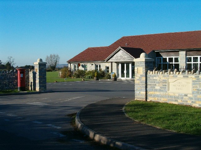
Church of St Andrew, Compton Dundon
The Anglican Church of St Andrew Compton Dundon, Somerset, England was built in the 14th century. It is a Grade II* listed building. == History == The...

Wessex (ward)
Wessex is an electoral ward of South Somerset District Council in Somerset, England. It is one of the wards that makes up the parliamentary constituency...
East Polden Grasslands
East Polden Grasslands (grid reference ST474325) is a 124 hectare biological Site of Special Scientific Interest on the Polden Hills in Somerset, notified...
Have you been to Gilling Down?
Leave your review of Gilling Down below (or comments, questions and feedback).