Row Moor
Downs, Moorland in Somerset South Somerset
England
Row Moor
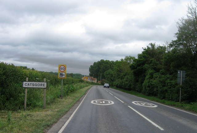
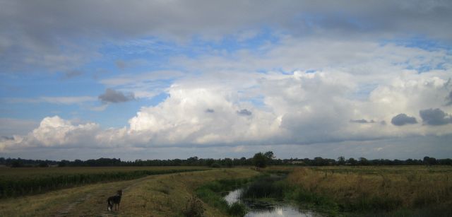
Row Moor is a picturesque region located in the county of Somerset, England. It is a unique combination of downs and moorland, offering visitors a diverse landscape and a rich natural environment. Covering an area of approximately 250 acres, Row Moor is a designated Site of Special Scientific Interest (SSSI) due to its significant ecological value.
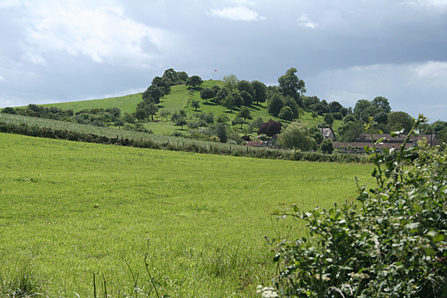
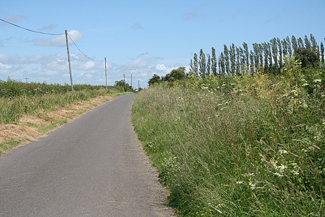
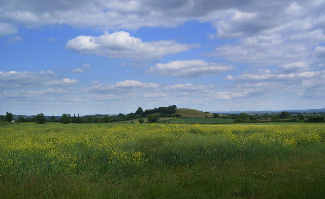
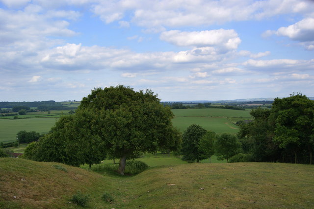
The downs of Row Moor are characterized by rolling hills covered in lush green grass, creating a beautiful and peaceful atmosphere. The area is home to a variety of plant species, including heather, gorse, and wildflowers, which add bursts of vibrant colors to the landscape. This makes it an ideal destination for nature lovers and hikers, who can explore the numerous walking trails that wind through the downs.
In contrast, the moorland of Row Moor offers a more rugged and wild terrain. Here, visitors can discover vast expanses of open space, dotted with patches of purple heather and bracken. The moorland is also home to a diverse range of wildlife, including birds such as curlews, skylarks, and kestrels. It is not uncommon to spot rabbits or even deer roaming freely in the area.
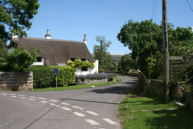
Row Moor is a popular destination for outdoor activities such as birdwatching, hiking, and photography. The breathtaking views from the downs and the rugged charm of the moorland make it an idyllic location for nature enthusiasts and those seeking a peaceful escape. With its unique combination of downs and moorland, Row Moor offers visitors a truly immersive and captivating experience of Somerset's natural beauty.
If you have any feedback on the listing, please let us know in the comments section below.
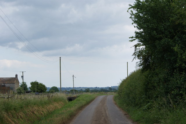
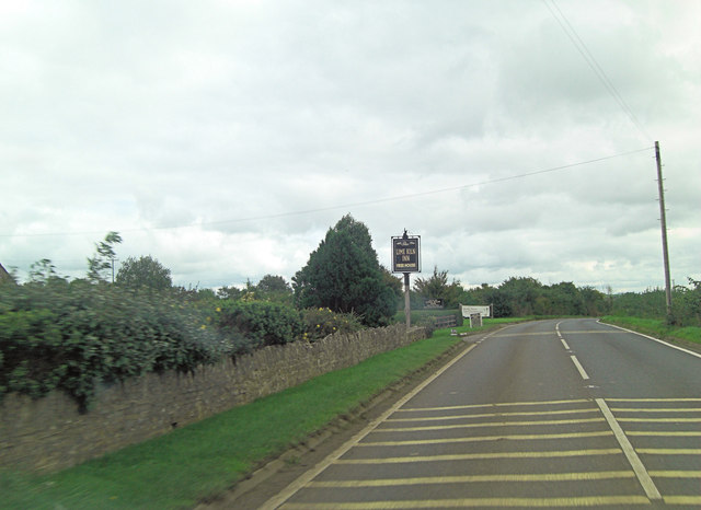
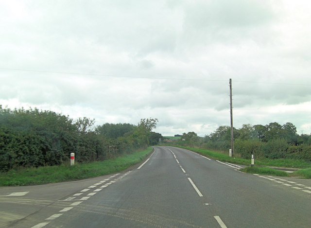
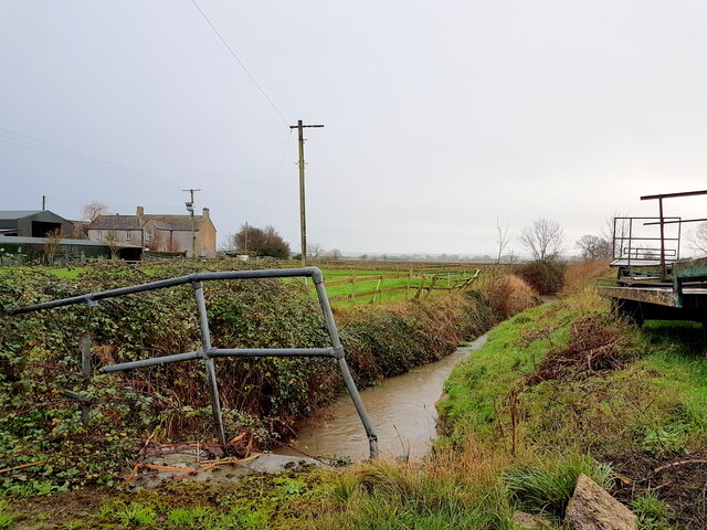
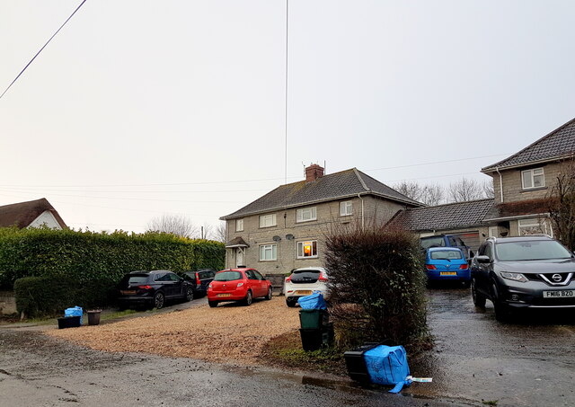
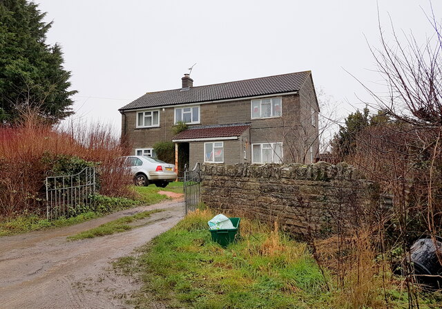
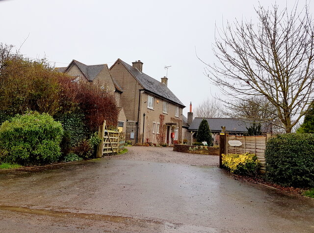
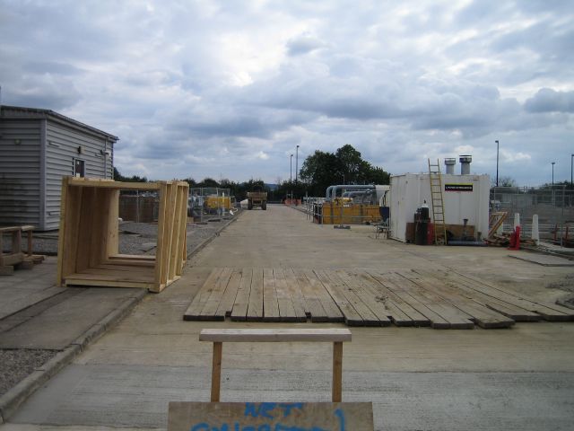
Row Moor Images
Images are sourced within 2km of 51.017173/-2.7178013 or Grid Reference ST4924. Thanks to Geograph Open Source API. All images are credited.
Row Moor is located at Grid Ref: ST4924 (Lat: 51.017173, Lng: -2.7178013)
Administrative County: Somerset
District: South Somerset
Police Authority: Avon and Somerset
What 3 Words
///comments.discussed.recover. Near Ilchester, Somerset
Nearby Locations
Related Wikis

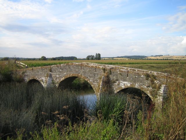
Pill Bridge
Pill Bridge is a stone arch bridge over the River Yeo between the parishes of Ilchester and Long Sutton, in the English county of Somerset. It is a scheduled...

Ilchester Cheese Company
The Ilchester Cheese Company is a cheese company based in Ilchester, Somerset. The Ilchester brands are part of Norseland, a subsidiary of Norwegian dairy...

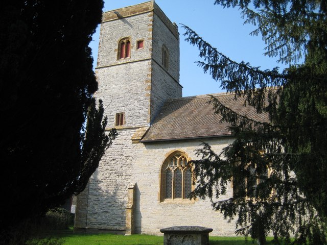
Church of All Saints, Kingsdon
The Church of All Saints in Kingsdon, Somerset, England was built in the 13th century. It is a Grade II* listed building. == History == Parts if the church...
Ilchester Nunnery
Ilchester Nunnery, in Ilchester, Somerset, England, was founded around 1217–1220 as the "White Hall Hospital of the Holy Trinity", (Latin: Alba Aula, French...

Kingsdon, Somerset
Kingsdon is a village and parish in the South Somerset district of Somerset, England, situated 3 miles (4.8 km) south east of Somerton. The village has...
Ilchester Friary
Ilchester Friary was founded between 1221 and 1260 as a Dominican monastery in Ilchester Somerset, England. The buildings were restored in the 13th and...
Church of St Andrew, Northover
The Anglican Church of St Andrew, Northover, in Ilchester, Somerset, England, dates from the 14th and 15th centuries. Today it is part of the parish of...

Ilchester Town Hall
Ilchester Town Hall is a municipal building in the High Street in Ilchester, Somerset, England. The structure, which serves as the offices and meeting...
Related Videos

Ilchester - Somerset - UK - 14th August 2023
Please share with your friends. Ilchester is a small village near to Yeovil in Somerset. Please allow me to show you around.

Welcome To My Somerset Neighbourhood
This video is a quick tour of my new neighbourhood in Yeovil, an industrial Town in the picturesque English County called ...

Reverse Canterbury Doubles and Downwards at Ilchester, Somerset
Except from a quarter peal (outside, as I sat this one out), followed by the lower on this rather good five. This is the last of the ...

Driving trough Ilchester, Somerset on sunny day (3840x2160, 60fps)
Video quality: 3840x2160, 60fps Music: Bed and Breakfast, The 126ers.
Nearby Amenities
Located within 500m of 51.017173,-2.7178013Have you been to Row Moor?
Leave your review of Row Moor below (or comments, questions and feedback).