Gilling Down

Hill, Mountain in Somerset South Somerset

England

Gilling Down

Stile & Glastonbury Tor This stile on wood lane gives access to a footpath to Rowley Farm. Glastonbury Tor can be seen in the distance.
Stile & Glastonbury Tor Credit: Glyn Baker

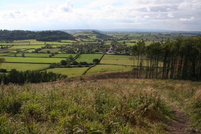
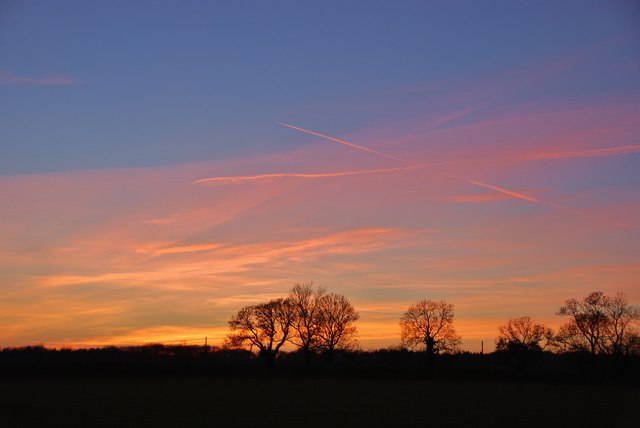
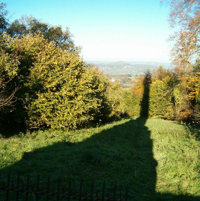
Gilling Down is a picturesque hill located in Somerset, England. It is situated on the eastern edge of the Quantock Hills, a designated Area of Outstanding Natural Beauty. Rising to an elevation of approximately 250 meters (820 feet), Gilling Down offers stunning panoramic views of the surrounding countryside.

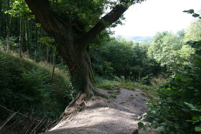
Covered in lush grasses and dotted with patches of heather and gorse, Gilling Down is known for its natural beauty and diverse wildlife. The hill is home to a variety of plants and animals, including wild ponies, rabbits, and numerous bird species. It is a popular destination for nature enthusiasts, hikers, and birdwatchers who are drawn to its tranquil atmosphere and abundant wildlife.

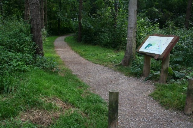
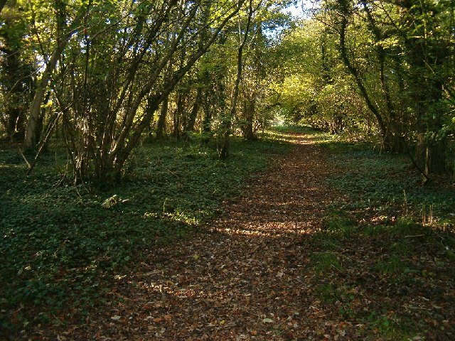
The hill is crisscrossed by a network of footpaths and bridleways, making it easily accessible for walkers and horse riders. These paths lead visitors through rolling meadows, dense woodlands, and open heathland, offering a chance to explore the diverse ecosystems of the area.

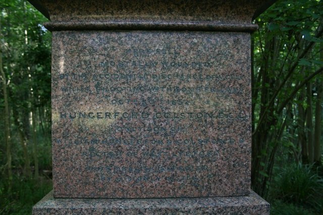
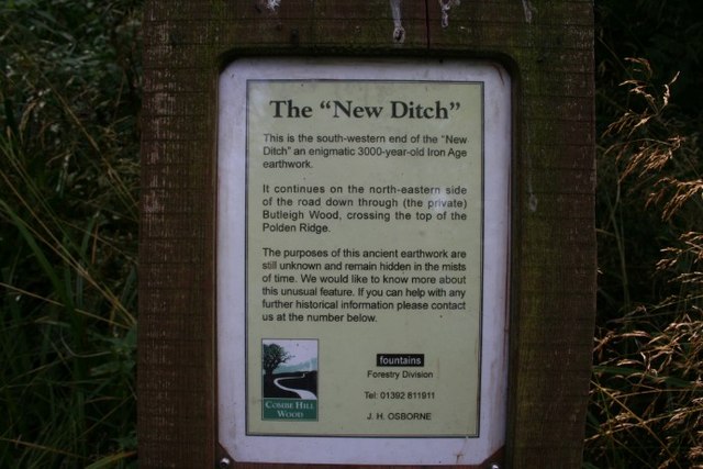
Gilling Down also has historical significance, as it is home to several ancient burial mounds and earthworks. These archaeological features provide glimpses into the area's rich past and offer a fascinating insight into the lives of the people who once inhabited this land.

Overall, Gilling Down is a cherished natural gem in Somerset, offering visitors a chance to immerse themselves in the beauty of the English countryside and connect with nature. Whether exploring its vibrant flora and fauna or simply enjoying the breathtaking views, a visit to Gilling Down is a truly enriching experience.

If you have any feedback on the listing, please let us know in the comments section below.
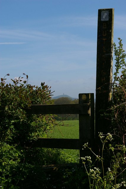
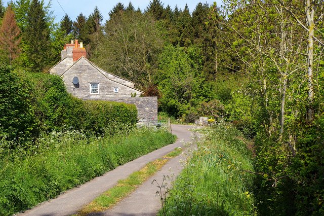
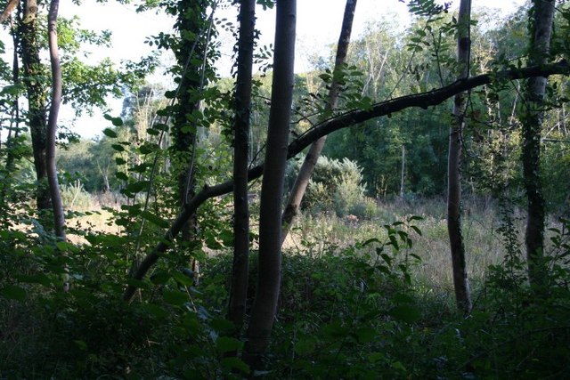
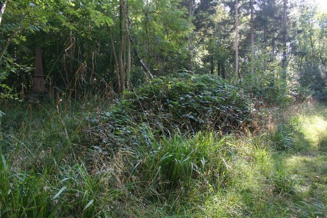
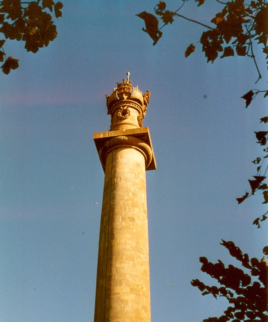
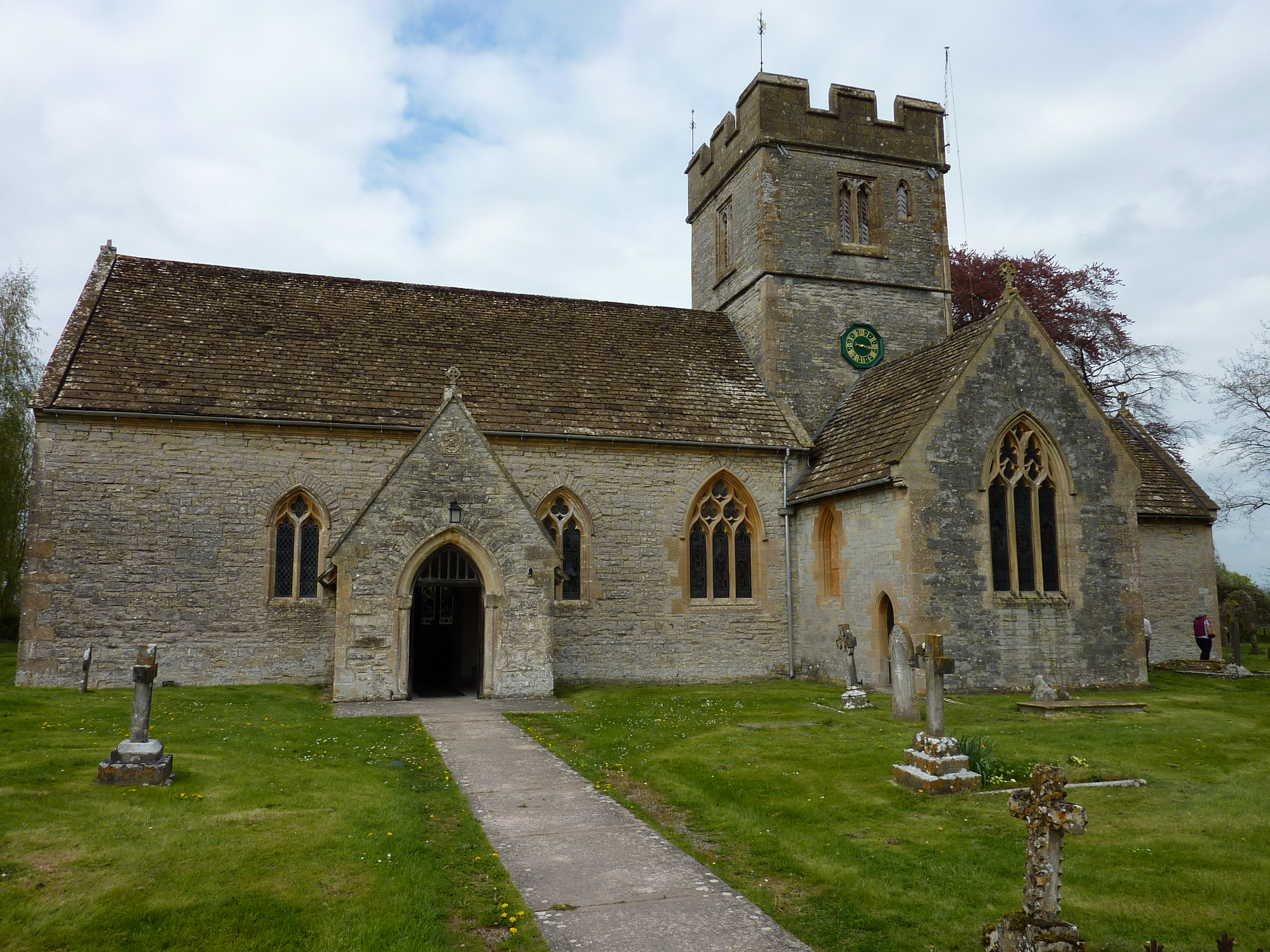
Gilling Down Images

Images are sourced within 2km of 51.088064/-2.7156003 or Grid Reference ST4932. Thanks to Geograph Open Source API. All images are credited.

Stile & Glastonbury Tor This stile on wood lane gives access to a footpath to Rowley Farm. Glastonbury Tor can be seen in the distance.
Stile & Glastonbury Tor
This stile on wood lane gives access to a footpath to Rowley Farm. Glastonbury Tor can be seen in the distance.
Quarry Lane Quarry Lane is a picturesque no through road near Butleigh Cross
Quarry Lane
Quarry Lane is a picturesque no through road near Butleigh Cross
Buzzard There were lots of these large raptors buzzing around Somerset but I am afraid this is the closest I got.
Buzzard
There were lots of these large raptors buzzing around Somerset but I am afraid this is the closest I got.
Awkward underfoot There is a public right of way through Copley wood, but it doesn't join up with the permissive paths through Great Breach Wood. Fighting through brambles, I made it to the edge of the square where there was a clearing giving enough light for a photograph of something more than just undergrowth.
Awkward underfoot
There is a public right of way through Copley wood, but it doesn't join up with the permissive paths through Great Breach Wood. Fighting through brambles, I made it to the edge of the square where there was a clearing giving enough light for a photograph of something more than just undergrowth.
A gloomy monument By the side of a footpath through Great Breach Wood is a memorial to the victim of a shooting accident.
A gloomy monument
By the side of a footpath through Great Breach Wood is a memorial to the victim of a shooting accident.
The accidental discharge of a gun..... "By the accidental discharge of a gun...."  The inscription on the pink granite of this memorial in Great Breach wood is not made easy to read by its gloomy location out of the sun. The memorial was erected by the victim's only sister.
The accidental discharge of a gun.....
"By the accidental discharge of a gun...." The inscription on the pink granite of this memorial in Great Breach wood is not made easy to read by its gloomy location out of the sun. The memorial was erected by the victim's only sister.
Woodland walks Combe Hill is private land, but the landlord, together with the Forestry Commission, manage a delightful wood, with information boards and waymarked paths.
Woodland walks
Combe Hill is private land, but the landlord, together with the Forestry Commission, manage a delightful wood, with information boards and waymarked paths.
Who knows about the "New Ditch"? The information board for the "New Ditch": can anybody help?
Who knows about the "New Ditch"?
The information board for the "New Ditch": can anybody help?
Down to the Levels The wonderful view from Combe Hill down onto the Somerset levels, where we'd taken photographs a few weeks previously <a href="https://www.geograph.org.uk/gridref/ST4633">ST4633</a>.
Down to the Levels
The wonderful view from Combe Hill down onto the Somerset levels, where we'd taken photographs a few weeks previously ST4633.
Ancient earthwork A huge tree stands on the end of "The New Ditch", an Iron Age earthwork. A tree-lined gully runs down westward, and  the hills overlooking the Somerset Levels can be seen beyond.
Ancient earthwork
A huge tree stands on the end of "The New Ditch", an Iron Age earthwork. A tree-lined gully runs down westward, and the hills overlooking the Somerset Levels can be seen beyond.
Butleigh: Sunset over fields near the village
Woodland at Windmill Hill, Compton Dundon
In the Shadow of the Hood Monument, Compton Dundon Looking north towards Glastonbury Tor.
In the Shadow of the Hood Monument, Compton Dundon
Looking north towards Glastonbury Tor.
Hood Monument, Compton Dundon
Compton Street, Compton Dundon ... with cat.
Compton Street, Compton Dundon
... with cat.
Meadway Hall, Compton Dundon New village hall for Compton Dundon. The post office facility was accommodated here when the local shop shut down.
Meadway Hall, Compton Dundon
New village hall for Compton Dundon. The post office facility was accommodated here when the local shop shut down.
Open day at the thatcher's yard
Hood Monument, Compton Dundon
Show me another place!

Gilling Down is located at Grid Ref: ST4932 (Lat: 51.088064, Lng: -2.7156003)

Administrative County: Somerset

District: South Somerset

Police Authority: Avon and Somerset

What 3 Words

///spins.finely.bluff. Near Street, Somerset

Related Wikis

Have you been to Gilling Down?

Leave your review of Gilling Down below (or comments, questions and feedback).