Bartle's Hill

Hill, Mountain in Cumberland Carlisle

England

Bartle's Hill

Track in Kershope Forest
Track in Kershope Forest Credit: David Purchase

Bartle's Hill, also known as Barton Fell, is a prominent hill located in the county of Cumberland in northwest England. Situated within the Lake District National Park, it forms part of the Pennines range and stands at an elevation of 1,423 feet (434 meters) above sea level.

The hill is renowned for its stunning panoramic views, offering visitors a breathtaking outlook over the surrounding countryside. On a clear day, one can see the picturesque Solway Firth, the Scottish mountains, and the nearby Lake District peaks, including Skiddaw and Blencathra.

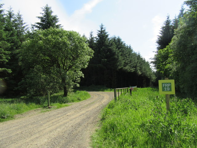
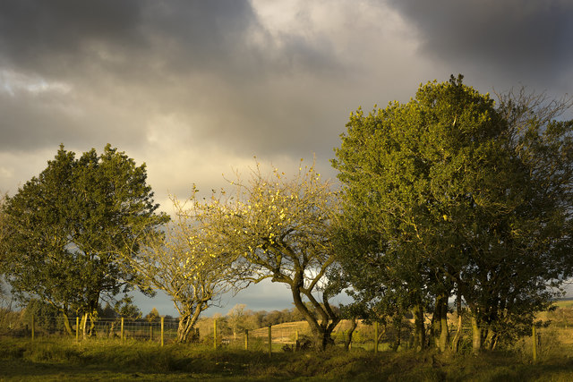
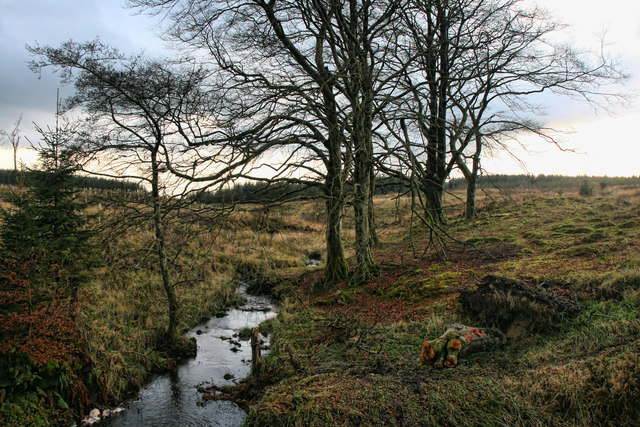
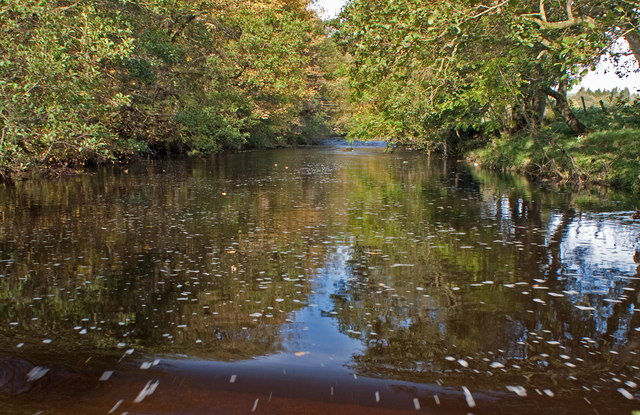
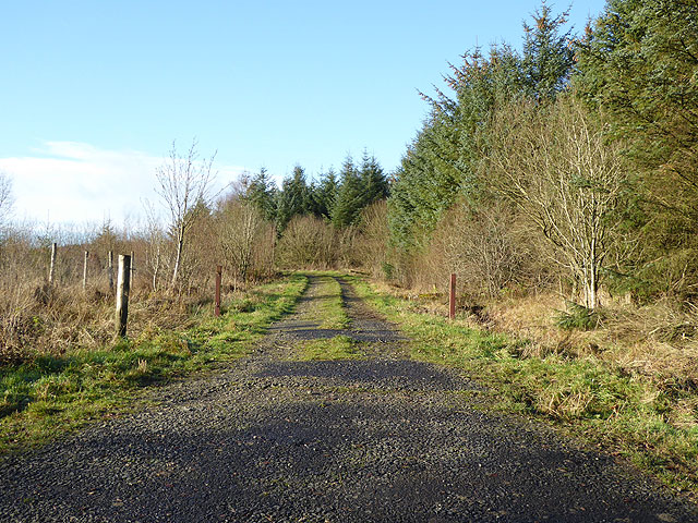
Bartle's Hill is a popular destination for hikers, nature enthusiasts, and photographers alike. The hill is dotted with numerous walking trails, ranging from easy strolls to more challenging hikes, catering to all levels of fitness and experience. The paths wind through heather moorlands, grassy meadows, and ancient woodlands, providing a diverse and picturesque landscape to explore.

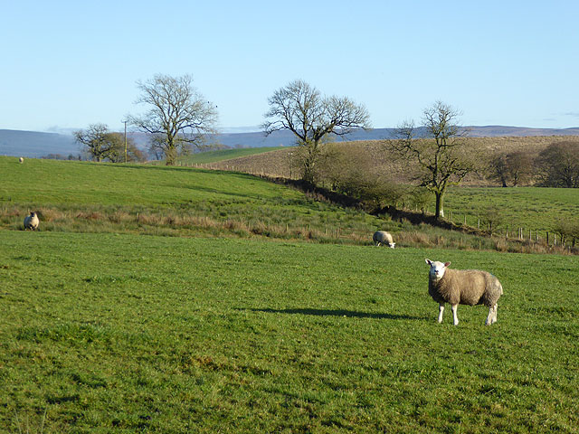
The hill is also rich in wildlife, with an abundance of bird species, including skylarks, curlews, and peregrine falcons, making it a haven for birdwatchers. The surrounding woodlands are home to red squirrels, deer, and various plant species, contributing to the area's ecological significance.

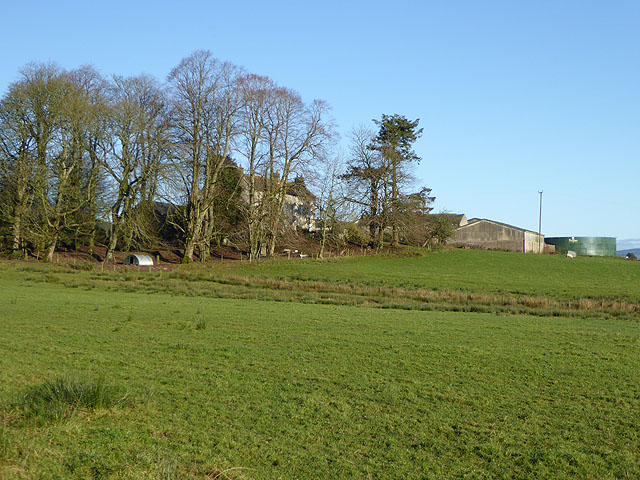
Bartle's Hill is easily accessible, with several entry points and parking facilities nearby. It offers a tranquil and natural escape from the hustle and bustle of everyday life, attracting visitors seeking solitude and a connection with nature.

If you have any feedback on the listing, please let us know in the comments section below.

Bartle's Hill Images

Images are sourced within 2km of 55.087978/-2.7853727 or Grid Reference NY4977. Thanks to Geograph Open Source API. All images are credited.

Track in Kershope Forest
Chamot Hill Part of Kershope Forest.
Chamot Hill
Part of Kershope Forest.
Chamot Hill forest Gate into the forest.
Chamot Hill forest
Gate into the forest.
Windfall Check it out on my Flickr page.
<span class="nowrap"><a title="https://www.flickr.com/photos/jetjohn/32525258415/" rel="nofollow ugc noopener" href="https://www.flickr.com/photos/jetjohn/32525258415/">Link</a><img style="margin-left:2px;" alt="External link" title="External link - shift click to open in new window" src="https://s1.geograph.org.uk/img/external.png" width="10" height="10"/></span>

An apple tree taken near Roadhead in Cumbria.
Windfall
Check it out on my Flickr page. LinkExternal link An apple tree taken near Roadhead in Cumbria.
Blind Sike Forestry operations near Blind Sike in Kershope Forest.
Blind Sike
Forestry operations near Blind Sike in Kershope Forest.
Greenrigg The farmhouse at Greenrigg.
Greenrigg
The farmhouse at Greenrigg.
Sleet Beck Sleet Beck seen from Craggyford Bridge.
Sleet Beck
Sleet Beck seen from Craggyford Bridge.
Crookburn Track through Kershope Forest at Crookburn.
Crookburn
Track through Kershope Forest at Crookburn.
Sleet Beck from Craiggyford Bridge
Track into Kershope Forest
View towards Sleet Beck Valley
The footbridge Hidden in the trees is the footbridge over the river Lyne
The footbridge
Hidden in the trees is the footbridge over the river Lyne
Craiggyford Bridge
Craiggyford Bridge
B6318 to Sleetbeck
B6318 to Sleetbeck
Forestry road in Kershope Forest
Track on the edge of Kershope Forest
Sleetbeck Farm With its shelter belt of trees.
Sleetbeck Farm
With its shelter belt of trees.
Sheep at Sleetbeck Farm The Bewcastle Fells can be seen on the skyline.
Sheep at Sleetbeck Farm
The Bewcastle Fells can be seen on the skyline.
Show me another place!

Bartle's Hill is located at Grid Ref: NY4977 (Lat: 55.087978, Lng: -2.7853727)

Administrative County: Cumbria

District: Carlisle

Police Authority: Cumbria

What 3 Words

///says.geologist.vacancies. Near Longtown, Cumbria

Nearby Locations

Bartle's Hill

Related Wikis

Nearby Amenities

Located within 500m of 55.087978,-2.7853727
Power: pole
Lat/Long: 55.0922158/-2.7872957
Power: pole
Lat/Long: 55.0918142/-2.7861722
Power: pole
Lat/Long: 55.0913536/-2.7848906
Power: pole
Lat/Long: 55.090882/-2.7836137
Power: pole
Lat/Long: 55.0903994/-2.7822842
Power: pole
Lat/Long: 55.0901814/-2.7812422
Power: pole
Lat/Long: 55.0899566/-2.7802313
Power: pole
Lat/Long: 55.0896523/-2.7788562
Power: pole
Lat/Long: 55.0859821/-2.7784634
Power: pole
Lat/Long: 55.0852184/-2.7792419
The data included in this document is from www.openstreetmap.org. The data is made available under ODbL.

Have you been to Bartle's Hill?

Leave your review of Bartle's Hill below (or comments, questions and feedback).