Gallows Hill

Hill, Mountain in Angus

Scotland

Gallows Hill

B9127 near Kirkbuddo
B9127 near Kirkbuddo Credit: Steven Brown

Gallows Hill is a prominent landmark located in the Angus region of Scotland. Situated near the town of Angus, this hill is of historical and cultural significance. Rising to an elevation of approximately 274 meters (899 feet), Gallows Hill is considered more of a hill than a mountain, but its commanding presence and strategic location make it an important feature of the local landscape.

The name "Gallows Hill" carries a dark historical connotation. It is believed that the hill was once used as a site for public executions during the medieval period. This association with capital punishment has given the hill a somewhat eerie reputation, adding to its allure for those interested in history and folklore.

From the summit of Gallows Hill, visitors are treated to breathtaking panoramic views of the surrounding Angus countryside. The hill's prominent position offers an unobstructed vista, allowing visitors to appreciate the rolling hills, picturesque farmland, and distant mountains that make up the region's natural beauty.

Gallows Hill is a popular destination for outdoor enthusiasts, offering opportunities for hiking, walking, and nature exploration. The hill is accessible via various trails and footpaths, which wind their way through the lush countryside. These routes cater to different skill levels, ensuring that both novice and experienced hikers can enjoy the stunning views and tranquil surroundings.

Overall, Gallows Hill stands as a testament to Scotland's rich history and natural beauty. Its dark past and striking views make it an intriguing destination for both history buffs and nature lovers alike.

If you have any feedback on the listing, please let us know in the comments section below.
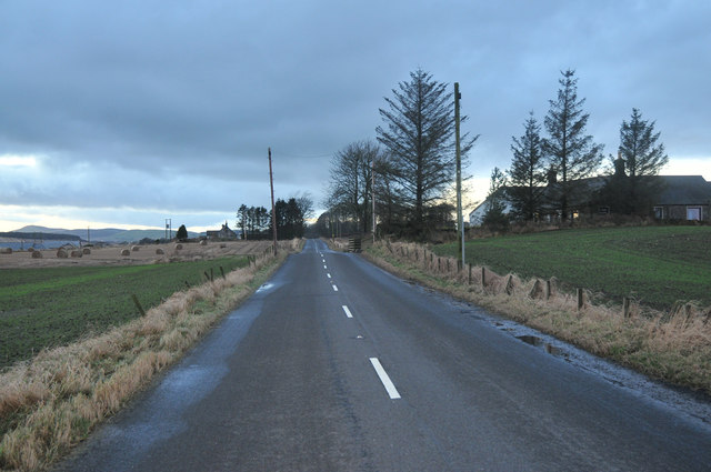
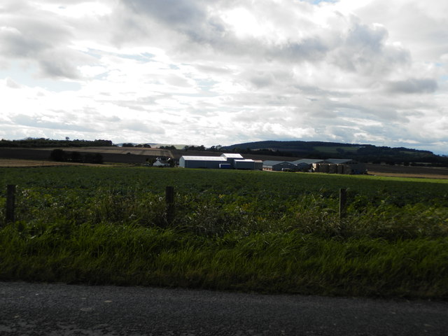
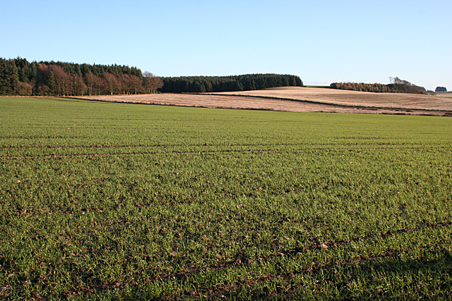
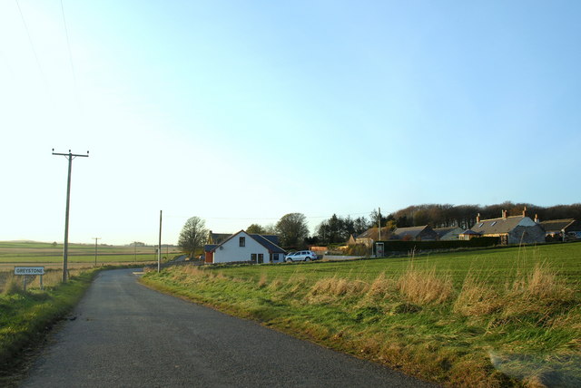
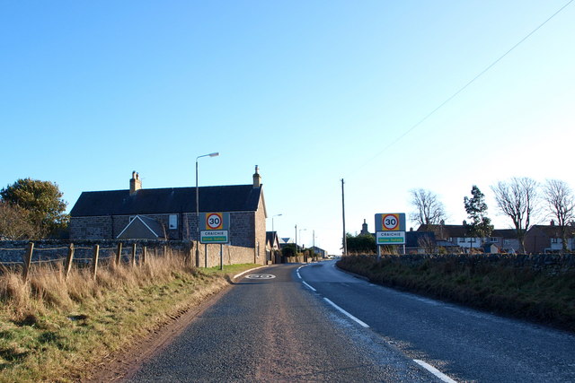
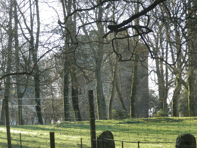
Gallows Hill Images

Images are sourced within 2km of 56.58109/-2.8161466 or Grid Reference NO4943. Thanks to Geograph Open Source API. All images are credited.

B9127 near Kirkbuddo
Whigstreet And to think that a few days earlier I was in Downies,looking at Tory Island.  The fenced off building is part of a complex of ruins which were a sawmill. Much of Whig Street is currently ruined, but it is not a dead village: A Sturrock and Sons have a joinery business here and there is a factory off shot to the left.
Whigstreet
And to think that a few days earlier I was in Downies,looking at Tory Island. The fenced off building is part of a complex of ruins which were a sawmill. Much of Whig Street is currently ruined, but it is not a dead village: A Sturrock and Sons have a joinery business here and there is a factory off shot to the left.
Potatoes, Whigstreet Craigowl puts in its usual appearance on the skyline.
Potatoes, Whigstreet
Craigowl puts in its usual appearance on the skyline.
Sawmill, Whigstreet Some of the ruins by the crossroads.
Sawmill, Whigstreet
Some of the ruins by the crossroads.
Whigstreet A derelict building by the crossroads, opposite the sawmill.
Whigstreet
A derelict building by the crossroads, opposite the sawmill.
Pillbox near Douglas Wood Sits in a prominent position beside the B978
Pillbox near Douglas Wood
Sits in a prominent position beside the B978
Farm at Burnside of Tulloes
Fields near Holemill Rolling fields south of Whigstreet, some with well-grown winter cereal and others still waiting to be ploughed and sown.
Fields near Holemill
Rolling fields south of Whigstreet, some with well-grown winter cereal and others still waiting to be ploughed and sown.
Approaching Whigstreet The curiously named hamlet of Whigstreet consists of a crossroads, half a dozen houses and just about as many ruined buildings. This is the approach from the south.
Approaching Whigstreet
The curiously named hamlet of Whigstreet consists of a crossroads, half a dozen houses and just about as many ruined buildings. This is the approach from the south.
Former Sawmills All the buildings south and east of the Whigstreet crossroads are derelict and fenced off with warning notices saying they are unsafe. This is a row of sheds on the south side of the sawmill site.
Former Sawmills
All the buildings south and east of the Whigstreet crossroads are derelict and fenced off with warning notices saying they are unsafe. This is a row of sheds on the south side of the sawmill site.
Whigstreet Looking at the mid-Victorian six-inch Ordnance Survey Map, it appears that this is the original farm of Whigstreet, and that the name has migrated from it to the present hamlet. It too is standing empty, derelict and boarded up.
Whigstreet
Looking at the mid-Victorian six-inch Ordnance Survey Map, it appears that this is the original farm of Whigstreet, and that the name has migrated from it to the present hamlet. It too is standing empty, derelict and boarded up.
Derelict Shed This shed is part of the sawmill site, all of which is boarded up and falling down.
Derelict Shed
This shed is part of the sawmill site, all of which is boarded up and falling down.
Whigstreet Crossroads A blue van approaches from the direction of Forfar. The driver seemed unsure of where he was going until he spotted the signpost to Inverarity and Douglastown.
Whigstreet Crossroads
A blue van approaches from the direction of Forfar. The driver seemed unsure of where he was going until he spotted the signpost to Inverarity and Douglastown.
Former Sawmill This is the main stone-built building on the sawmill site. What a pity that no-one has so far bought and restored it, for it is a sound-looking structure and a bit of an eyesore at the crossroads.
Former Sawmill
This is the main stone-built building on the sawmill site. What a pity that no-one has so far bought and restored it, for it is a sound-looking structure and a bit of an eyesore at the crossroads.
Sturrock's Joinery In sharp contrast to the derelict sawmills across the road, the joinery workshop and saleroom look modern and smart. This seems to be the only economic activity going on in Whigstreet. A sign at the gate indicates that the business was established in 1872.
Sturrock's Joinery
In sharp contrast to the derelict sawmills across the road, the joinery workshop and saleroom look modern and smart. This seems to be the only economic activity going on in Whigstreet. A sign at the gate indicates that the business was established in 1872.
Whigstreet Modernised and new houses on the road to Kirkbuddo at Whigstreet.
Whigstreet
Modernised and new houses on the road to Kirkbuddo at Whigstreet.
No Phone Box! When I was uploading images taken around Whigstreet a few weeks ago, I came across <a href="https://www.geograph.org.uk/photo/81700">NO4844 : Traditional lines of communication in Whigstreet</a>. For the life of me I could not remember noticing a phone box, so I took the opportunity of a second look. Lo and behold! The phone box, still marked on the maps, has vanished.
No Phone Box!
When I was uploading images taken around Whigstreet a few weeks ago, I came across NO4844 : Traditional lines of communication in Whigstreet. For the life of me I could not remember noticing a phone box, so I took the opportunity of a second look. Lo and behold! The phone box, still marked on the maps, has vanished.
Show me another place!

Gallows Hill is located at Grid Ref: NO4943 (Lat: 56.58109, Lng: -2.8161466)

Unitary Authority: Angus

Police Authority: Tayside

What 3 Words

///crafts.thinks.finishing. Near Letham, Angus

Nearby Locations

Gallows Hill

Related Wikis

Nearby Amenities

Located within 500m of 56.58109,-2.8161466
Kirkbuddo
Alt Name Sco: Carbuddo;Carbudde
Name Gd: Cair Bhuite
Name La: Castrum Butthi
Name Sco: Kirbuddo
Place: hamlet
Wikidata: Q6415575
Wikipedia: en:Kirkbuddo
Lat/Long: 56.5804359/-2.8132232
Newlands
Place: isolated_dwelling
Lat/Long: 56.5817292/-2.8184629
Gallow Hill
Ele: 175
Natural: hill
Place: locality
Lat/Long: 56.5808678/-2.8155132
Station House
Place: isolated_dwelling
Lat/Long: 56.5822768/-2.8203904
Power: pole
Lat/Long: 56.5776905/-2.8119259
Power: pole
Lat/Long: 56.5781661/-2.8128835
Power: pole
Lat/Long: 56.5786521/-2.8138536
Power: pole
Lat/Long: 56.5791161/-2.8147986
Power: pole
Lat/Long: 56.5796666/-2.8149616
Power: pole
Lat/Long: 56.5802204/-2.815131
Power: pole
Lat/Long: 56.5808422/-2.8153108
Power: pole
Lat/Long: 56.5812683/-2.8154341
Power: pole
Lat/Long: 56.581882/-2.8156119
Power: pole
Lat/Long: 56.582376/-2.816444
Power: pole
Lat/Long: 56.5828861/-2.8172865
Power: pole
Lat/Long: 56.5833835/-2.8181374
Power: pole
Lat/Long: 56.5836932/-2.8186559
Power: pole
Lat/Long: 56.5838797/-2.8189716
Power: pole
Lat/Long: 56.5843852/-2.8198267
Power: pole
Lat/Long: 56.5818682/-2.8183632
Power: pole
Lat/Long: 56.5824589/-2.8189486
Power: pole
Lat/Long: 56.582901/-2.8193939
Power: pole
Lat/Long: 56.5834894/-2.8198121
Kirkbuddo
Historic Railway: station
Railway: site
Wikidata: Q110685813
Wikipedia: en:Kirkbuddo railway station
Lat/Long: 56.582222/-2.8201954
The data included in this document is from www.openstreetmap.org. The data is made available under ODbL.

Have you been to Gallows Hill?

Leave your review of Gallows Hill below (or comments, questions and feedback).