Ancre Hill

Hill, Mountain in Monmouthshire

Wales

Ancre Hill

New Estate - South of Monmouth Green Field Development
New Estate - South of Monmouth Credit: Peter Randall-Cook

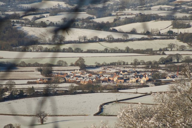
Ancre Hill is a prominent hill located in the county of Monmouthshire, Wales. It is situated near the town of Monmouth and rises to an elevation of approximately 260 meters (853 feet) above sea level. The hill is known for its picturesque landscapes and panoramic views of the surrounding countryside.

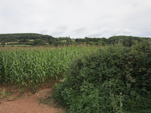
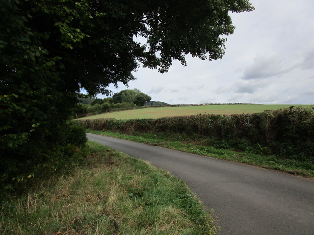
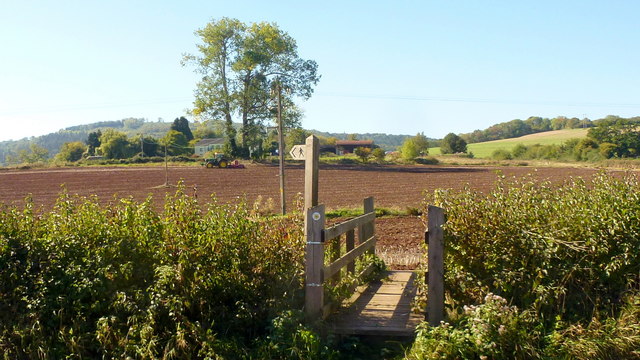
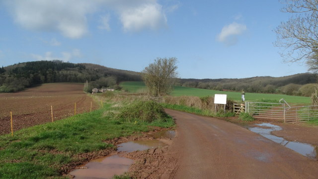
Covered in lush greenery and adorned with a variety of flora and fauna, Ancre Hill is a popular destination for nature enthusiasts, hikers, and photographers. Its well-maintained footpaths offer visitors the opportunity to explore the hill's diverse terrain, which includes both gentle slopes and steeper inclines.

At the summit of Ancre Hill, visitors can enjoy breathtaking views of the Wye Valley, the River Monnow, and the rolling hills of Monmouthshire. On clear days, the Black Mountains and the Brecon Beacons can also be seen in the distance, adding to the hill's allure.

Ancre Hill is not only a natural wonder but also holds historical significance. It is home to the remains of an Iron Age hillfort, showcasing the area's ancient past. The hillfort's earthworks are still visible, providing a glimpse into the lives of the people who inhabited the area thousands of years ago.

With its scenic beauty and historical significance, Ancre Hill offers a truly immersive experience for those seeking tranquility, adventure, and a deeper connection to the natural and cultural heritage of Monmouthshire.

If you have any feedback on the listing, please let us know in the comments section below.
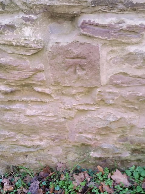
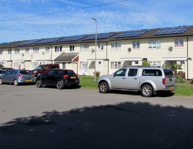
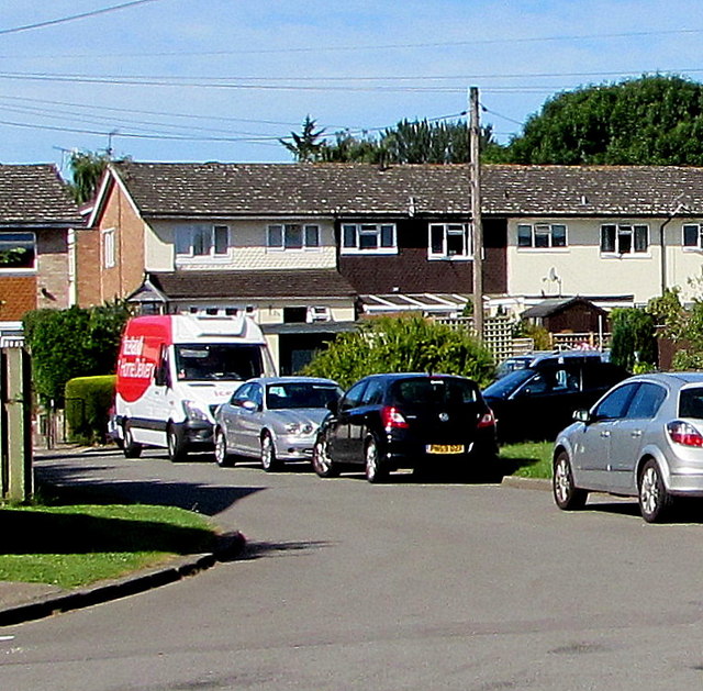
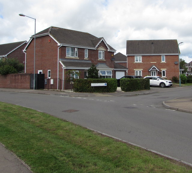
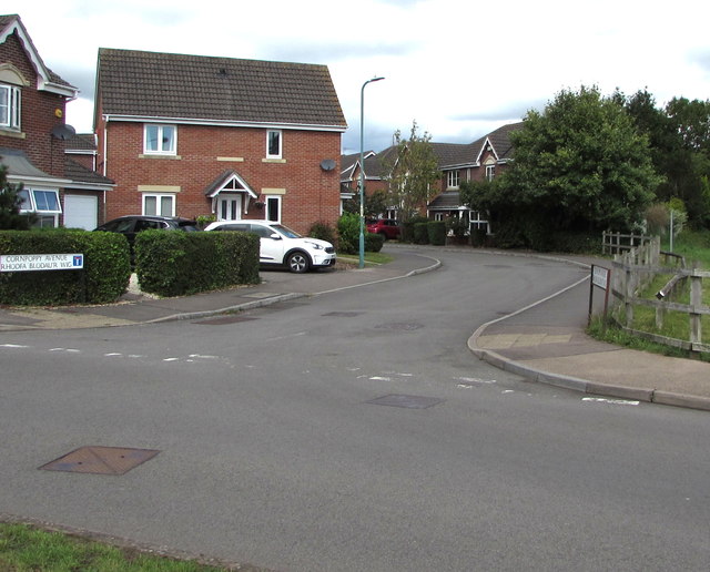
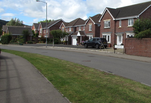
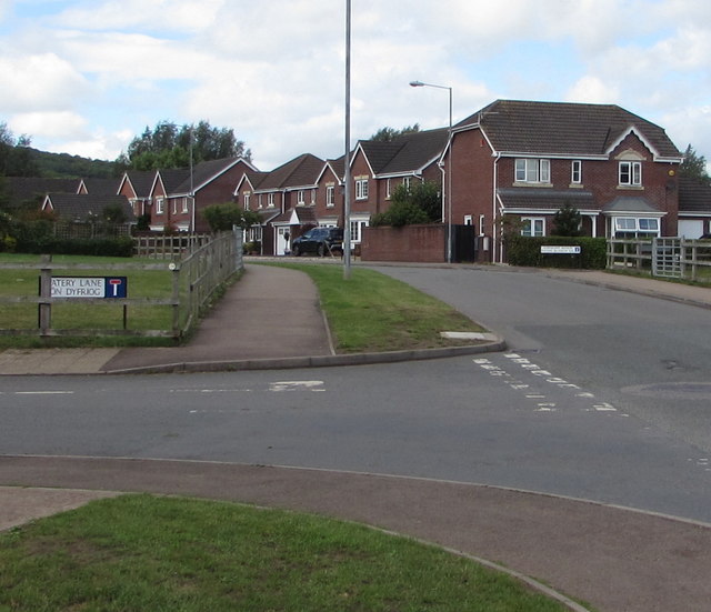
Ancre Hill Images

Images are sourced within 2km of 51.81996/-2.7273871 or Grid Reference SO4913. Thanks to Geograph Open Source API. All images are credited.

New Estate - South of Monmouth Green Field Development
New Estate - South of Monmouth
Green Field Development
Field of maize near Tump Farm
Lane near Osbaston The south end of Brooksholm Wood in the distance.
Lane near Osbaston
The south end of Brooksholm Wood in the distance.
Autumn cultivation, 1 A field to the west of Rockfield Road on a fine late September morning.
The old crop was rape.
Autumn cultivation, 1
A field to the west of Rockfield Road on a fine late September morning. The old crop was rape.
Autumn cultivation, 2 Preparing the ground for the next crop by the Rockfield Road.
A fine oak beyond.
Autumn cultivation, 2
Preparing the ground for the next crop by the Rockfield Road. A fine oak beyond.
Path and footbridge Croft-y-Bwla and the tractor featured in <a href="https://www.geograph.org.uk/photo/5923747">SO4913 : Autumn cultivation, 1</a> and <a href="https://www.geograph.org.uk/photo/5923753">SO4913 : Autumn cultivation, 2</a> can be seen in the distance.
Path and footbridge
Croft-y-Bwla and the tractor featured in SO4913 : Autumn cultivation, 1 and SO4913 : Autumn cultivation, 2 can be seen in the distance.
Track leading to Bailey Pit Farm from Watery Ln, Monmouth
Ordnance Survey Cut Mark This OS cut mark can be found on No47 Rockfield Road. It marks a point 21.455m above mean sea level.
Ordnance Survey Cut Mark
This OS cut mark can be found on No47 Rockfield Road. It marks a point 21.455m above mean sea level.
Ordnance Survey Cut Mark This OS cut mark can be found on No18 Rolls Avenue. It marks a point 21.567m above mean sea level.
Ordnance Survey Cut Mark
This OS cut mark can be found on No18 Rolls Avenue. It marks a point 21.567m above mean sea level.
Ordnance Survey Cut Mark This OS cut mark can be found on No1 Brook Crescent. It marks a point 21.652m above mean sea level.
Ordnance Survey Cut Mark
This OS cut mark can be found on No1 Brook Crescent. It marks a point 21.652m above mean sea level.
Ordnance Survey Cut Mark This edge of this OS cut mark can be found on No18 Brook Crescent. It marks a point 22.174m above mean sea level.
Ordnance Survey Cut Mark
This edge of this OS cut mark can be found on No18 Brook Crescent. It marks a point 22.174m above mean sea level.
Ordnance Survey Cut Mark This OS cut mark can be found on a building south side of the lane at Ancre Hill. It marks a point 52.718m above mean sea level.
Ordnance Survey Cut Mark
This OS cut mark can be found on a building south side of the lane at Ancre Hill. It marks a point 52.718m above mean sea level.
Rooftop solar panels, Kings Fee, Monmouth In the Overmonnow area of Monmouth.
Rooftop solar panels, Kings Fee, Monmouth
In the Overmonnow area of Monmouth.
Iceland home delivery van, Kings Fee, Monmouth Red and white van parked in the Overmonnow area of Monmouth in July 2020.
Iceland home delivery van, Kings Fee, Monmouth
Red and white van parked in the Overmonnow area of Monmouth in July 2020.
Corner of Chartist Rise and Cornpoppy Avenue, Monmouth Houses at the southern end of Cornpoppy Avenue viewed across Chartist Rise.
Corner of Chartist Rise and Cornpoppy Avenue, Monmouth
Houses at the southern end of Cornpoppy Avenue viewed across Chartist Rise.
North along Cornpoppy Avenue, Monmouth Viewed across Chartist Rise. The bilingual name sign on the left 
shows that Cornpoppy Avenue is Rhodfa Blodau'r Wig in Welsh.
North along Cornpoppy Avenue, Monmouth
Viewed across Chartist Rise. The bilingual name sign on the left shows that Cornpoppy Avenue is Rhodfa Blodau'r Wig in Welsh.
Chartist Rise, Monmouth This part of Chartist Rise is between the Cornpoppy Avenue junction 
near the camera and the Cornwallis Way junction out of shot ahead.
Chartist Rise, Monmouth
This part of Chartist Rise is between the Cornpoppy Avenue junction near the camera and the Cornwallis Way junction out of shot ahead.
Junction of Watery Lane and Chartist Rise, Monmouth Watery Lane behind the camera continues beyond the left edge of the photo. The bilingual name sign shows that Watery Lane is Lôn Dyfriog in Welsh. The road ahead is Chartist Rise.
Junction of Watery Lane and Chartist Rise, Monmouth
Watery Lane behind the camera continues beyond the left edge of the photo. The bilingual name sign shows that Watery Lane is Lôn Dyfriog in Welsh. The road ahead is Chartist Rise.
Show me another place!

Ancre Hill is located at Grid Ref: SO4913 (Lat: 51.81996, Lng: -2.7273871)

Unitary Authority: Monmouthshire

Police Authority: Gwent

What 3 Words

///earful.mailers.woodstove. Near Monmouth, Monmouthshire

Nearby Locations

Brook Estate Ancre Hill

Related Wikis

Monmouth New Hydro Scheme

The Monmouth New Hydro Scheme, which incorporates the Osbaston fish pass, is a hydroelectric scheme in Osbaston, near Monmouth, in South-East Wales....

Vauxhall Fields, Monmouth

Vauxhall Fields, also known as Vauxhall Meadows, are water meadows to the northwest of Monmouth town centre, Wales. The River Monnow borders the meadows...

Osbaston, Monmouth

Osbaston is a suburb of Monmouth, Wales, located less than 1 mile (1.6 km) north of the town centre. It was the site of one of the first public electricity...

Battle of Monmouth (1233)

The Battle of Monmouth took place on 25 November 1233, the feast day of St Catherine, between forces loyal to Henry III, King of England, and those of...

Nearby Amenities

Located within 500m of 51.81996,-2.7273871
Ancre Hill Vineyard
Building: yes
Wikidata: Q760319
Wikipedia: en:Ancre Hill Estates
Lat/Long: 51.8202654/-2.7317971
Direction: SSW
Generator Method: photovoltaic
Generator Output Electricity: yes
Generator Solar Modules: 12
Generator Source: solar
Generator Type: solar_photovoltaic_panel
Location: roof
Power: generator
Lat/Long: 51.8229651/-2.7231351
Direction: SW
Generator Method: photovoltaic
Generator Output Electricity: yes
Generator Solar Modules: 16
Generator Source: solar
Generator Type: solar_photovoltaic_panel
Location: roof
Power: generator
Lat/Long: 51.8167003/-2.7304083
Direction: SE
Generator Method: photovoltaic
Generator Output Electricity: yes
Generator Solar Modules: 18
Generator Source: solar
Generator Type: solar_photovoltaic_panel
Location: roof
Power: generator
Lat/Long: 51.8160607/-2.7302615
Direction: 125
Generator Method: photovoltaic
Generator Output Electricity: yes
Generator Solar Modules: 16
Generator Source: solar
Generator Type: solar_photovoltaic_panel
Location: roof
Power: generator
Lat/Long: 51.8227171/-2.7218762
Waterway: dam
Lat/Long: 51.8204155/-2.7240078
The data included in this document is from www.openstreetmap.org. The data is made available under ODbL.

Have you been to Ancre Hill?

Leave your review of Ancre Hill below (or comments, questions and feedback).