Hill of Finavon
Hill, Mountain in Angus
Scotland
Hill of Finavon
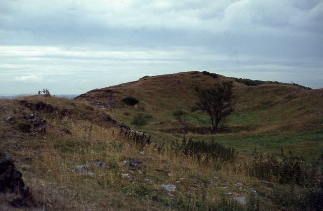
The Hill of Finavon is a prominent natural landmark located in the region of Angus, Scotland. Rising to an elevation of approximately 350 meters (1150 feet), it is classified as a hill rather than a mountain. The hill is situated near the village of Finavon, about 13 kilometers (8 miles) northwest of Forfar.
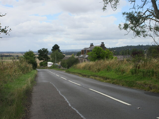
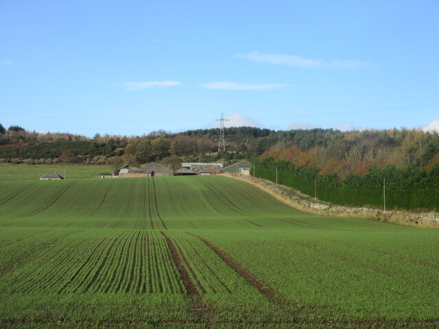
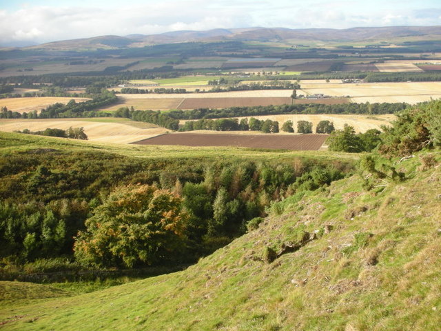
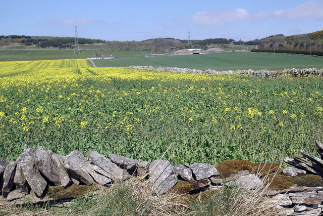
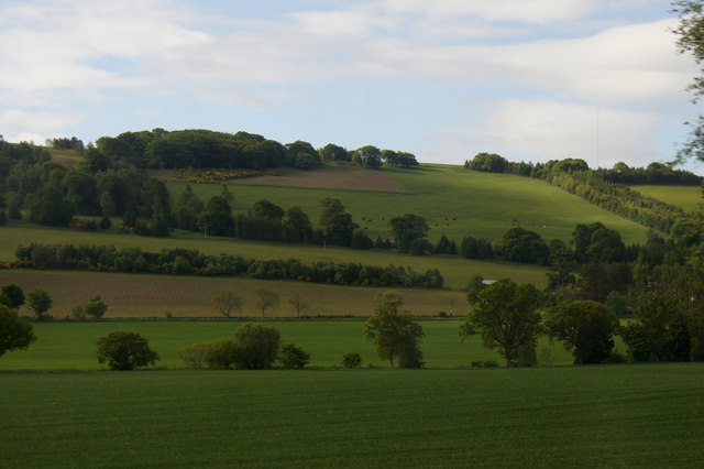
The hill offers breathtaking panoramic views of the surrounding countryside, making it a popular destination for hikers and outdoor enthusiasts. Its relatively gentle slopes and well-defined paths make it accessible to individuals of various fitness levels. The terrain is predominantly covered in grass, with scattered trees dotting the landscape.
The Hill of Finavon is known for its rich biodiversity, hosting a diverse range of plant and animal species. It is home to various birds, including buzzards, kestrels, and pheasants. The hill also supports a variety of wildflowers and grasses, creating a vibrant and colorful environment during the summer months.
At the summit, visitors can find a trig point, which serves as a marker for surveying purposes. From this vantage point, on a clear day, one can enjoy sweeping views of the Angus glens, the Sidlaw Hills, and even glimpse the distant coastline.
Overall, the Hill of Finavon offers a tranquil and picturesque setting, allowing visitors to connect with nature and appreciate the beauty of the Scottish landscape.
If you have any feedback on the listing, please let us know in the comments section below.
Hill of Finavon Images
Images are sourced within 2km of 56.685811/-2.8185254 or Grid Reference NO4955. Thanks to Geograph Open Source API. All images are credited.
![Strathmore: NW view to Grampians from Hill of Finavon, 1988 In far distance on the left is [probably]? Ben Tirran (2,860 ft.) north of Glen Clova, with White Hill (2,544 ft.) nearer and in the middle the Lethnot &amp; Navar district (Dog Hilloch, 2,369 ft.) and on the right Hill of Wirren (2,109 ft.). (Cf. <a href="https://www.geograph.org.uk/photo/3418">NO5055 : Strathmore from Finavon Hill</a> and <a href="https://www.geograph.org.uk/photo/148491">NO5055 : Vale of Strathmore from Finavon Hill</a>).](https://s1.geograph.org.uk/geophotos/04/28/05/4280597_88ed52e7.jpg)


Hill of Finavon is located at Grid Ref: NO4955 (Lat: 56.685811, Lng: -2.8185254)
Unitary Authority: Angus
Police Authority: Tayside
What 3 Words
///wins.skinny.bead. Near Forfar, Angus
Nearby Locations
Related Wikis
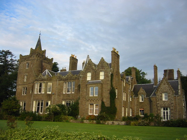
Finavon Castle
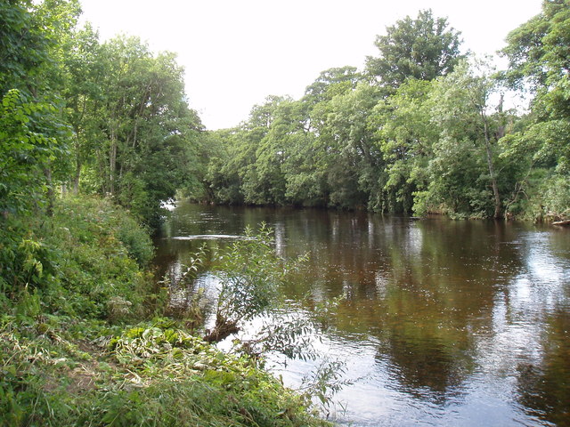
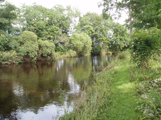
Finavon Castle lies on the River South Esk, about a quarter of a mile south of Milton of Finavon village and five miles to the north-east of Forfar in...
Milton of Finavon
Milton of Finavon is a hamlet in Angus, Scotland that lies adjacent to the A90 road on its southern side by the River South Esk. It is approximately 5...

Aberlemno
Aberlemno (Scottish Gaelic: Obar Leamhnach, IPA:[ˈopəɾˈʎɛunəx]) is a parish and small village in the Scottish council area of Angus. It is noted for three...

Aberlemno Sculptured Stones
The Aberlemno Sculptured Stones are a series of Pictish standing stones originating in and around the village of Aberlemno, Angus, Scotland. Three are...
Nearby Amenities
Located within 500m of 56.685811,-2.8185254Have you been to Hill of Finavon?
Leave your review of Hill of Finavon below (or comments, questions and feedback).