Nabsack Planting
Wood, Forest in Lancashire South Ribble
England
Nabsack Planting

Nabsack Planting is a lush woodland located in the county of Lancashire, England. Spanning over a vast area, this woodland is renowned for its captivating beauty and rich biodiversity. Nestled amidst the rolling hills and valleys, Nabsack Planting offers a serene and tranquil escape from the hustle and bustle of modern life.
The woodland is predominantly composed of a variety of deciduous trees, including oak, ash, birch, and beech. These towering trees create a dense canopy overhead, casting dappled sunlight onto the forest floor below. The woodland is also adorned with an array of vibrant wildflowers, adding splashes of color to the landscape.
Nabsack Planting is a haven for wildlife enthusiasts and nature lovers, as it is home to a diverse range of animal species. Deer, foxes, badgers, and numerous species of birds can be spotted within the woodland, making it a popular destination for birdwatching and wildlife photography.
Visitors to Nabsack Planting can enjoy a variety of recreational activities, such as walking, hiking, and cycling. The woodland boasts a network of well-maintained trails that meander through its enchanting landscape, allowing visitors to explore its hidden treasures.
The management of Nabsack Planting is committed to preserving its natural beauty and ecological integrity. Conservation efforts are in place to protect the woodland from any potential threats, ensuring that future generations can continue to enjoy its splendor.
In conclusion, Nabsack Planting in Lancashire is a captivating woodland that offers a peaceful retreat for nature enthusiasts. With its diverse flora and fauna, picturesque trails, and commitment to conservation, it is a must-visit destination for anyone seeking solace in the beauty of nature.
If you have any feedback on the listing, please let us know in the comments section below.
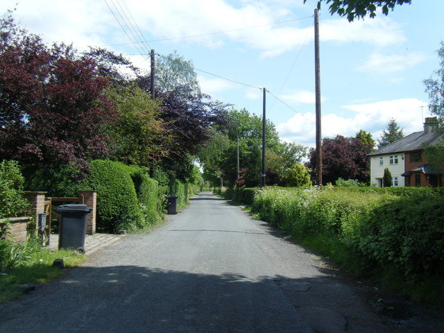
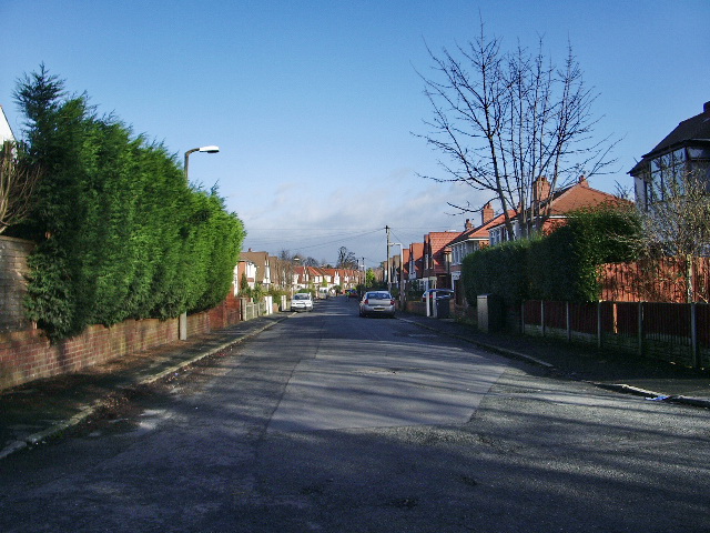
Nabsack Planting Images
Images are sourced within 2km of 53.749833/-2.7602978 or Grid Reference SD4928. Thanks to Geograph Open Source API. All images are credited.


Nabsack Planting is located at Grid Ref: SD4928 (Lat: 53.749833, Lng: -2.7602978)
Administrative County: Lancashire
District: South Ribble
Police Authority: Lancashire
What 3 Words
///prop.blank.movie. Near Preston, Lancashire
Nearby Locations
Related Wikis

River Ribble
The River Ribble runs through North Yorkshire and Lancashire in Northern England. It starts close to the Ribblehead Viaduct in North Yorkshire, and is...
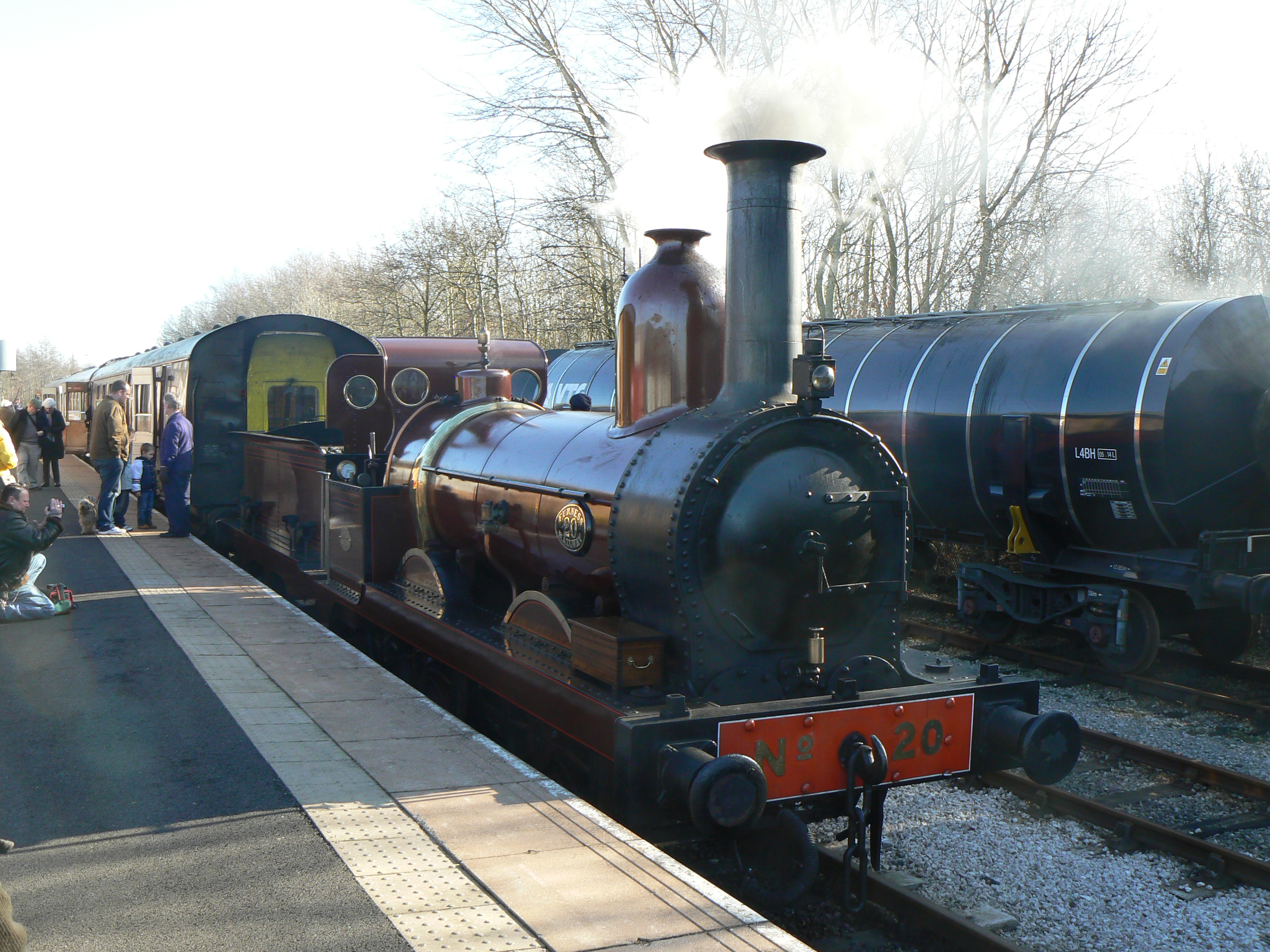
Furness Railway Trust
The Furness Railway Trust is a heritage railway preservation organisation many of whose properties were originally owned by the Furness Railway. It is...

Ribble Steam Railway
The Ribble Steam Railway is a standard gauge preserved railway in Lancashire, in the United Kingdom. It was opened to the public on 17 September 2005...
Howick Cross
Howick Cross is a landmark and small hamlet in Penwortham, South Ribble, Lancashire, England. It is located just over 2 miles south west of the city of...
Nearby Amenities
Located within 500m of 53.749833,-2.7602978Have you been to Nabsack Planting?
Leave your review of Nabsack Planting below (or comments, questions and feedback).