Knowle Plantation
Wood, Forest in Somerset South Somerset
England
Knowle Plantation
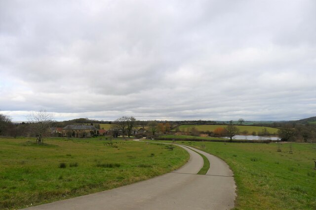
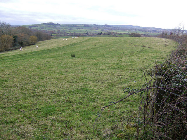
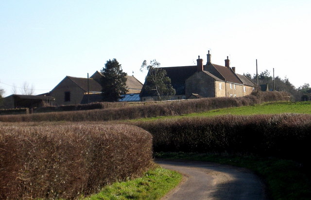
Knowle Plantation is a sprawling woodland located in Somerset, England. Covering an area of approximately 500 acres, it is a prominent feature of the local landscape and a popular destination for nature enthusiasts and outdoor enthusiasts alike.
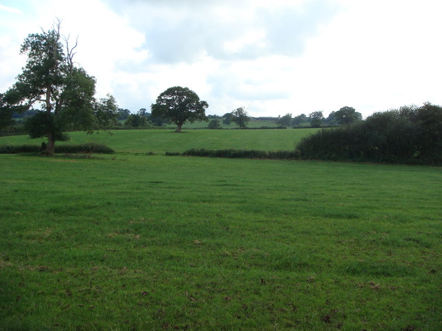
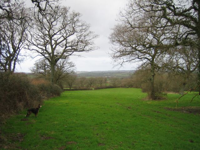
The plantation is primarily composed of deciduous trees, including oak, beech, and ash, which create a diverse and dynamic ecosystem. These trees provide a canopy that offers shade and shelter for a variety of plant and animal species. Within the plantation, visitors can find an abundance of wildflowers, ferns, and mosses, adding to the natural beauty of the area.
Knowle Plantation is home to a wide range of wildlife, including deer, badgers, foxes, and numerous bird species. The diverse habitat of the woodland provides ample opportunities for birdwatching and spotting other wildlife.
The plantation is crisscrossed with a network of walking trails, allowing visitors to explore the woodland at their leisure. These trails offer stunning views of the surrounding countryside and provide access to hidden pockets of tranquility within the plantation.
Knowle Plantation also serves as an important site for conservation efforts. The woodland is managed carefully to promote biodiversity and ensure the long-term health of the ecosystem. This includes selective tree felling and the planting of new trees to maintain a healthy balance within the woodland.
Overall, Knowle Plantation in Somerset is a beautiful and diverse woodland, offering visitors the opportunity to connect with nature and explore the wonders of the natural world.
If you have any feedback on the listing, please let us know in the comments section below.
Knowle Plantation Images
Images are sourced within 2km of 50.868995/-2.7280564 or Grid Reference ST4807. Thanks to Geograph Open Source API. All images are credited.


Knowle Plantation is located at Grid Ref: ST4807 (Lat: 50.868995, Lng: -2.7280564)
Administrative County: Somerset
District: South Somerset
Police Authority: Avon and Somerset
What 3 Words
///expecting.numeral.grounding. Near Crewkerne, Somerset
Nearby Locations
Related Wikis
Whitevine Meadows
Whitevine Meadows (grid reference ST505085) is a 13.0 hectare (32.0 acre) biological Site of Special Scientific Interest east of North and South Perrott...

South Perrott
South Perrott is a village and civil parish in northwest Dorset, England, 2 miles (3.2 km) southeast of Crewkerne. In 2012 the estimated population of...
North Perrott
North Perrott is a village and civil parish in south Somerset, England, near the border with Dorset. == History == The name Perrott comes from the River...
Church of St Martin, North Perrott
The Church of St Martin in North Perrott, Somerset, England, dates from the 12th century and has been designated as a Grade I listed building.The current...

North Perrott Cricket Club Ground
North Perrott Cricket Club Ground is a former List A cricket ground located in North Perrott, Somerset. It hosted a single Cheltenham & Gloucester Trophy...

Chedington
Chedington is a small village and civil parish in west Dorset, England, situated near the A356 road 4 miles (6.4 km) southeast of Crewkerne in Somerset...

North Perrott Manor House
North Perrott Manor House which later became Perrott Hill School in North Perrott, Somerset, England was built in 1877 by Thomas Henry Wyatt. It is a Grade...
Haselbury Plucknett
Haselbury Plucknett is a village and civil parish on the River Parrett in Somerset, England, situated 6 miles (9.7 km) south west of Yeovil in the South...
Nearby Amenities
Located within 500m of 50.868995,-2.7280564Have you been to Knowle Plantation?
Leave your review of Knowle Plantation below (or comments, questions and feedback).