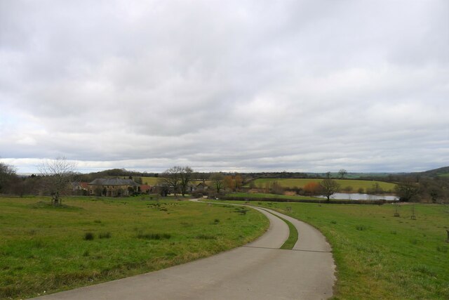
Wood Lane
Wood, Forest in Dorset
England
Wood Lane
The requested URL returned error: 429 Too Many Requests
If you have any feedback on the listing, please let us know in the comments section below.
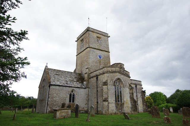
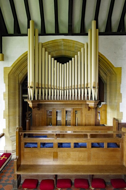
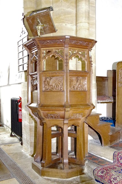
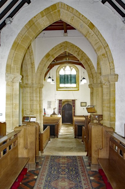
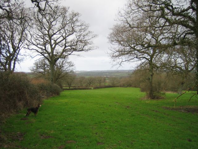
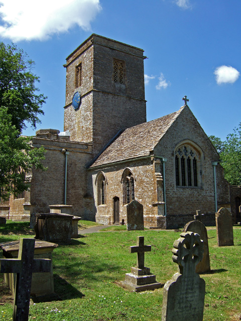
Wood Lane Images
Images are sourced within 2km of 50.864598/-2.7308299 or Grid Reference ST4807. Thanks to Geograph Open Source API. All images are credited.


Wood Lane is located at Grid Ref: ST4807 (Lat: 50.864598, Lng: -2.7308299)
Unitary Authority: Dorset
Police Authority: Dorset
What 3 Words
///intruded.planting.otter. Near Crewkerne, Somerset
Nearby Locations
Related Wikis

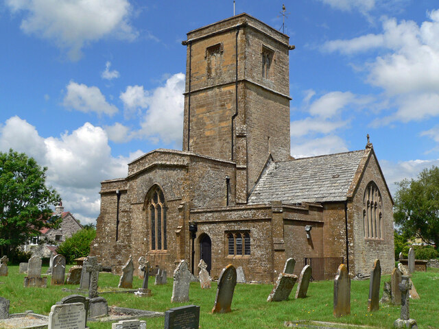
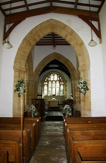
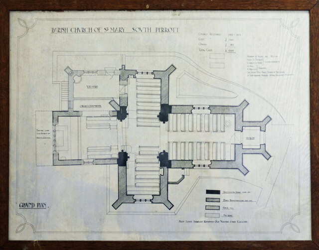
South Perrott
South Perrott is a village and civil parish in northwest Dorset, England, 2 miles (3.2 km) southeast of Crewkerne. In 2012 the estimated population of...

Chedington
Chedington is a small village and civil parish in west Dorset, England, situated near the A356 road 4 miles (6.4 km) southeast of Crewkerne in Somerset...
Whitevine Meadows
Whitevine Meadows (grid reference ST505085) is a 13.0 hectare (32.0 acre) biological Site of Special Scientific Interest east of North and South Perrott...
North Perrott
North Perrott is a village and civil parish in south Somerset, England, near the border with Dorset. == History == The name Perrott comes from the River...
Nearby Amenities
Located within 500m of 50.864598,-2.7308299Have you been to Wood Lane?
Leave your review of Wood Lane below (or comments, questions and feedback).