Hull's Coppice
Wood, Forest in Somerset South Somerset
England
Hull's Coppice
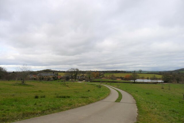
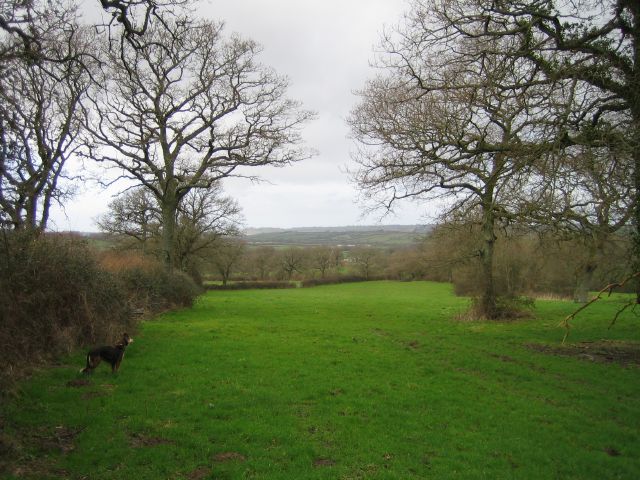
Hull's Coppice, located in Somerset, is a picturesque woodland area renowned for its natural beauty and rich biodiversity. Spanning over several acres, this ancient coppice is a treasure trove of diverse flora and fauna, making it a popular destination for nature enthusiasts and hikers.
The woodland is primarily composed of broadleaf trees, including oak, ash, beech, and hazel, which create a dense and vibrant canopy. The trees are well-established, some dating back centuries, and their intertwining branches provide a striking visual display throughout the year. During springtime, the woodland floor is carpeted with a variety of wildflowers, such as bluebells, primroses, and wood anemones, creating a picturesque scene.
Hull's Coppice is also home to a plethora of wildlife. Birdwatchers flock to the area to catch a glimpse of species like the great spotted woodpecker, tawny owl, and various finches. The woodland is also inhabited by small mammals like badgers, foxes, and squirrels, as well as a diverse range of insect species.
The woodland is crisscrossed with a network of well-maintained walking trails, allowing visitors to explore its beauty at their leisure. These paths wind through the trees, offering scenic views and the opportunity to observe the woodland's inhabitants up close.
Hull's Coppice is not only a haven for nature lovers but also serves as an important ecosystem, with its trees playing a crucial role in carbon sequestration and providing a habitat for countless species. Its serene and tranquil ambiance, coupled with its natural diversity, make it a must-visit destination for anyone seeking a connection with nature in Somerset.
If you have any feedback on the listing, please let us know in the comments section below.
Hull's Coppice Images
Images are sourced within 2km of 50.865749/-2.7293558 or Grid Reference ST4807. Thanks to Geograph Open Source API. All images are credited.


Hull's Coppice is located at Grid Ref: ST4807 (Lat: 50.865749, Lng: -2.7293558)
Administrative County: Somerset
District: South Somerset
Police Authority: Avon and Somerset
What 3 Words
///refutes.stag.bead. Near Crewkerne, Somerset
Nearby Locations
Related Wikis

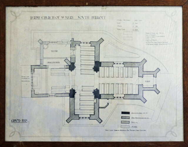
South Perrott
South Perrott is a village and civil parish in northwest Dorset, England, 2 miles (3.2 km) southeast of Crewkerne. In 2012 the estimated population of...
Whitevine Meadows
Whitevine Meadows (grid reference ST505085) is a 13.0 hectare (32.0 acre) biological Site of Special Scientific Interest east of North and South Perrott...

Chedington
Chedington is a small village and civil parish in west Dorset, England, situated near the A356 road 4 miles (6.4 km) southeast of Crewkerne in Somerset...
North Perrott
North Perrott is a village and civil parish in south Somerset, England, near the border with Dorset. == History == The name Perrott comes from the River...
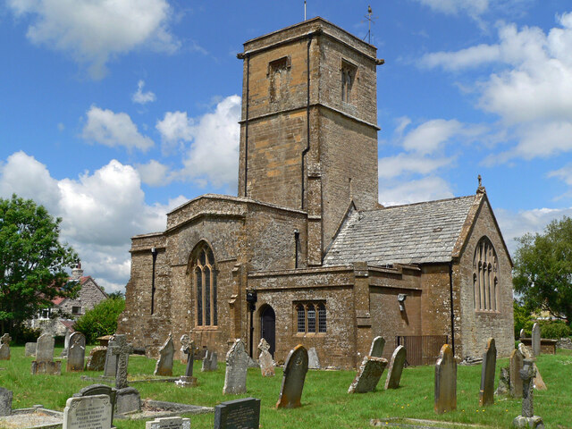
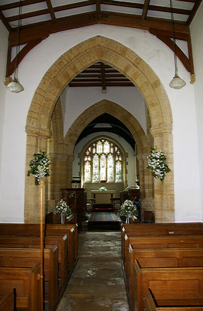
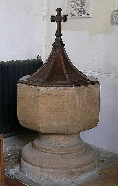
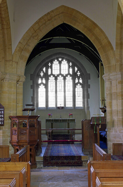
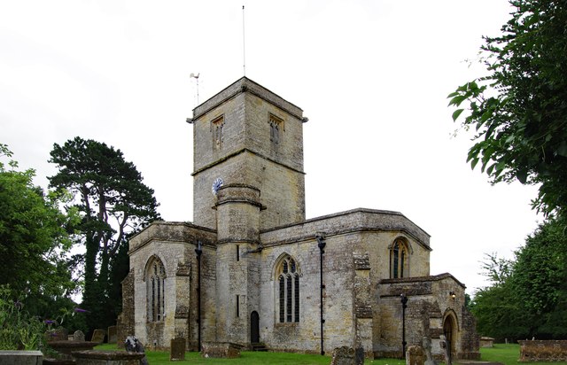
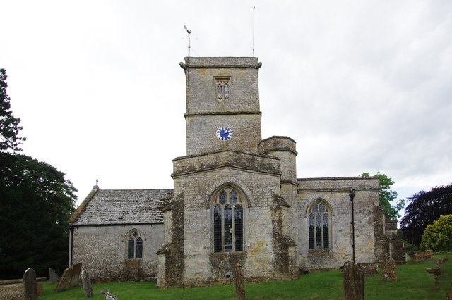
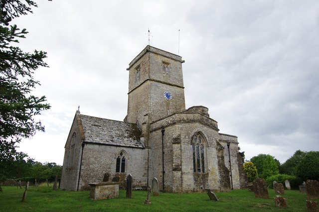
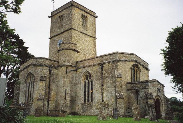
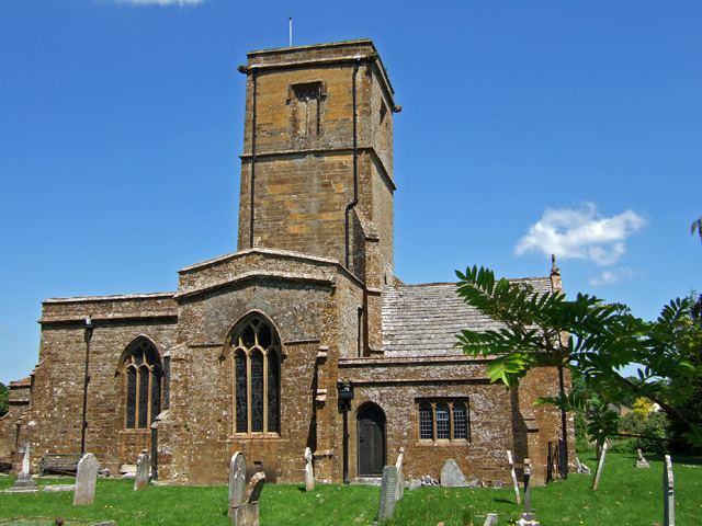
Church of St Martin, North Perrott
The Church of St Martin in North Perrott, Somerset, England, dates from the 12th century and has been designated as a Grade I listed building.The current...

North Perrott Cricket Club Ground
North Perrott Cricket Club Ground is a former List A cricket ground located in North Perrott, Somerset. It hosted a single Cheltenham & Gloucester Trophy...

North Perrott Manor House
North Perrott Manor House which later became Perrott Hill School in North Perrott, Somerset, England was built in 1877 by Thomas Henry Wyatt. It is a Grade...

Weston Hill
Weston Hill is a hill, 250 metres (820 ft) high, on the A 356, 1 kilometre west of Corscombe in the county of Dorset in southern England. It is located...
Nearby Amenities
Located within 500m of 50.865749,-2.7293558Have you been to Hull's Coppice?
Leave your review of Hull's Coppice below (or comments, questions and feedback).