Hodge's Coppice
Wood, Forest in Somerset South Somerset
England
Hodge's Coppice
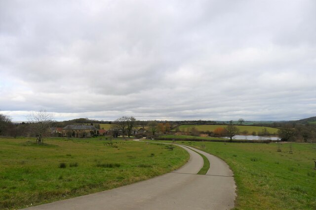
Hodge's Coppice is a picturesque woodland located in Somerset, England. Situated in the Mendip Hills Area of Outstanding Natural Beauty, this enchanting forest covers an area of approximately 50 acres, making it a popular destination for nature enthusiasts and hikers.
The woodland consists mainly of oak and beech trees, which create a dense and lush canopy that provides shelter for a diverse range of flora and fauna. The forest floor is carpeted with bluebells, wild garlic, and ferns, adding to the natural beauty of the area. This rich biodiversity attracts a variety of bird species, including woodpeckers, thrushes, and warblers, making it a haven for birdwatchers.
Hodge's Coppice offers several well-maintained walking trails, which allow visitors to explore the woodland at their own pace. The paths wind through ancient trees and along babbling brooks, providing a peaceful and tranquil environment. Along the way, there are numerous benches and picnic areas, perfect for taking a break and enjoying the surroundings.
The forest is also home to a variety of wildlife, including deer, badgers, and foxes. Nature lovers may be lucky enough to catch a glimpse of these creatures in their natural habitat. Additionally, the forest has a small pond, which provides a habitat for frogs, newts, and other aquatic life.
Hodge's Coppice is a true gem of Somerset, offering visitors an opportunity to immerse themselves in the beauty of nature. Whether it is a leisurely stroll, birdwatching, or simply enjoying a picnic amidst the tranquil surroundings, this woodland provides a perfect escape from the hustle and bustle of daily life.
If you have any feedback on the listing, please let us know in the comments section below.
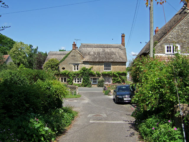
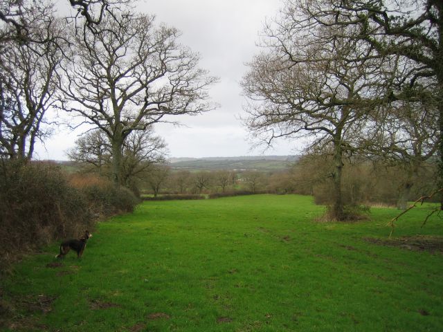
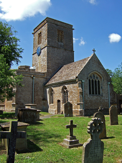
Hodge's Coppice Images
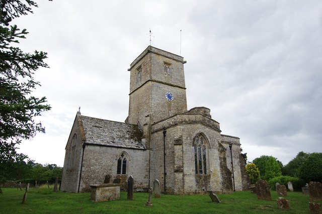
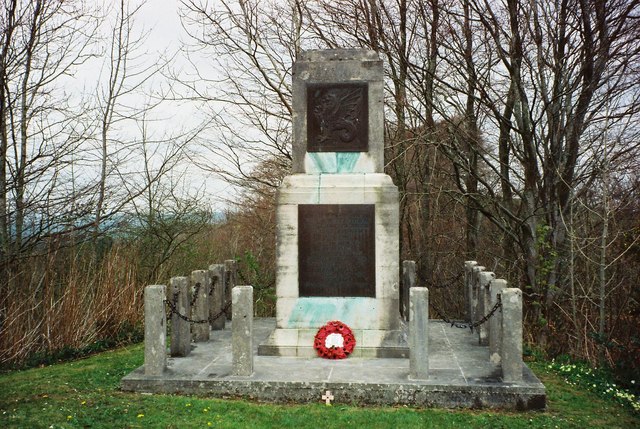
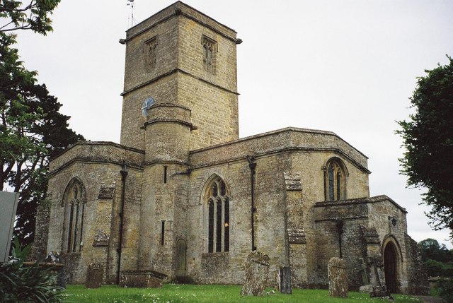
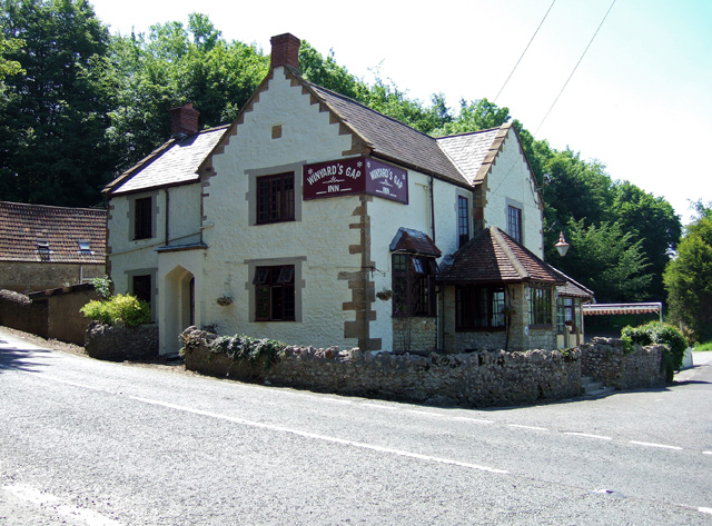
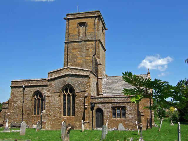
Images are sourced within 2km of 50.866378/-2.7294083 or Grid Reference ST4807. Thanks to Geograph Open Source API. All images are credited.

Hodge's Coppice is located at Grid Ref: ST4807 (Lat: 50.866378, Lng: -2.7294083)
Administrative County: Somerset
District: South Somerset
Police Authority: Avon and Somerset
What 3 Words
///putter.joggers.crusaders. Near Crewkerne, Somerset
Nearby Locations
Related Wikis

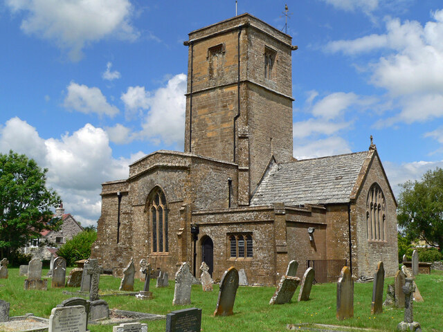
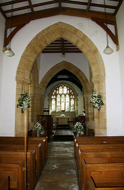
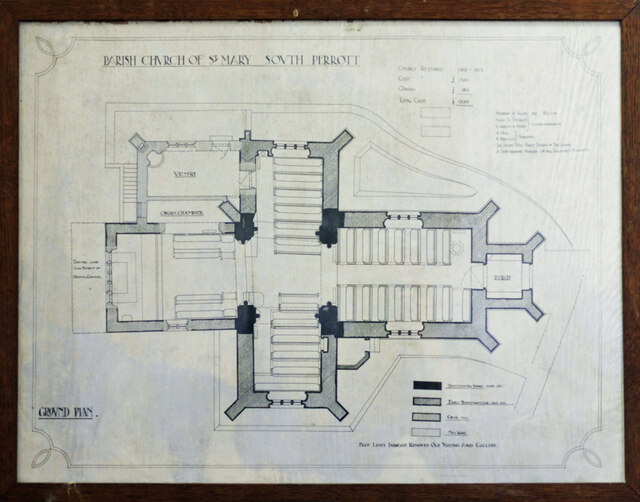
South Perrott
South Perrott is a village and civil parish in northwest Dorset, England, 2 miles (3.2 km) southeast of Crewkerne. In 2012 the estimated population of...
Whitevine Meadows
Whitevine Meadows (grid reference ST505085) is a 13.0 hectare (32.0 acre) biological Site of Special Scientific Interest east of North and South Perrott...

Chedington
Chedington is a small village and civil parish in west Dorset, England, situated near the A356 road 4 miles (6.4 km) southeast of Crewkerne in Somerset...
North Perrott
North Perrott is a village and civil parish in south Somerset, England, near the border with Dorset. == History == The name Perrott comes from the River...
Nearby Amenities
Located within 500m of 50.866378,-2.7294083Have you been to Hodge's Coppice?
Leave your review of Hodge's Coppice below (or comments, questions and feedback).