Wellington Coppice

Wood, Forest in Herefordshire

England

Wellington Coppice

A49 near Norton Brook Farm
A49 near Norton Brook Farm Credit: Colin Pyle

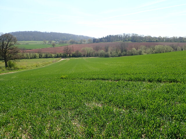
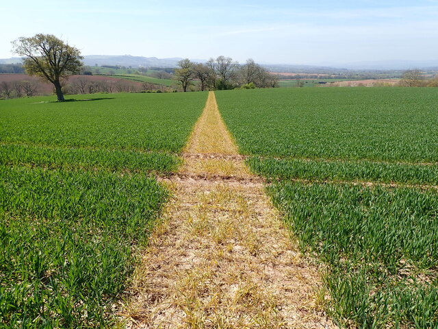
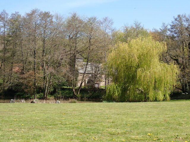
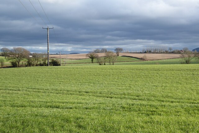
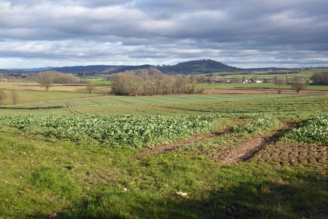
Wellington Coppice is a picturesque wood located in the county of Herefordshire, England. It covers an area of approximately 200 acres and is renowned for its natural beauty and diverse range of flora and fauna. The coppice is situated on the outskirts of the town of Wellington, providing locals and visitors with a peaceful retreat from the hustle and bustle of everyday life.

The wood is predominantly made up of deciduous trees, including oak, beech, and ash, which create an enchanting canopy during the summer months. In the spring, the woodland floor is adorned with a carpet of bluebells, creating a stunning display of color. Wildlife thrives in the wood, with various species of birds, mammals, and insects calling it home. Nature enthusiasts can spot deer, foxes, badgers, and a variety of bird species such as woodpeckers and owls.

Wellington Coppice offers visitors a range of activities to enjoy. There are several walking trails that wind through the wood, allowing visitors to explore its hidden corners and take in the breathtaking scenery. The wood is also a popular spot for picnics, with designated areas providing the perfect setting for a leisurely lunch.

The management of Wellington Coppice is overseen by the local council, which ensures the protection and preservation of its natural habitat. The wood is open to the public throughout the year, free of charge, making it accessible to all who wish to experience its tranquil beauty. Whether you are a nature lover, a hiker, or simply seeking a peaceful escape, Wellington Coppice is a must-visit destination in Herefordshire.

If you have any feedback on the listing, please let us know in the comments section below.

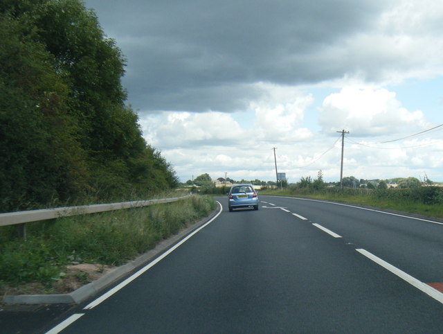
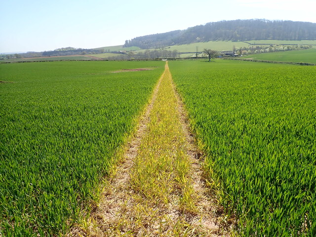
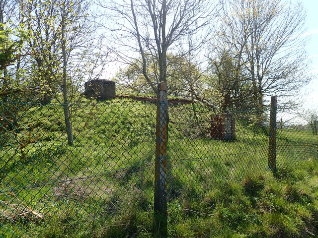
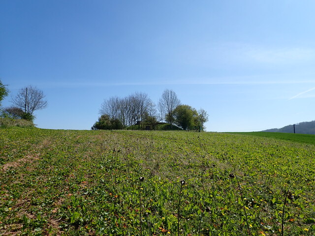
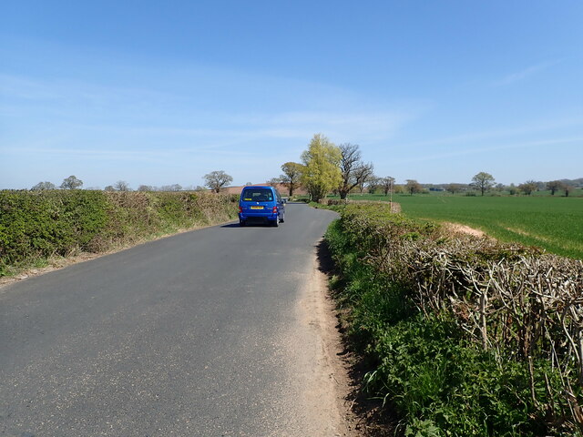
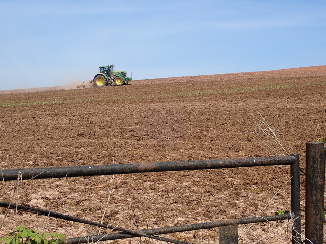
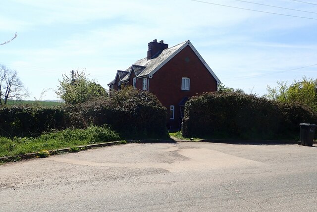
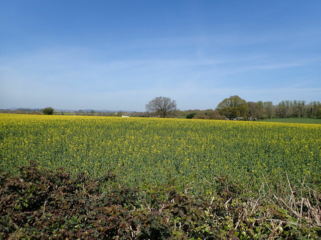
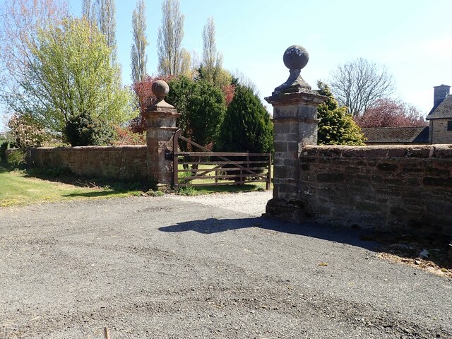
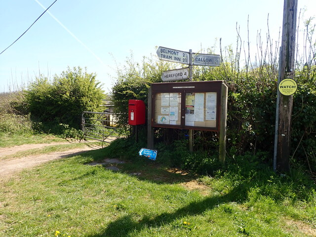
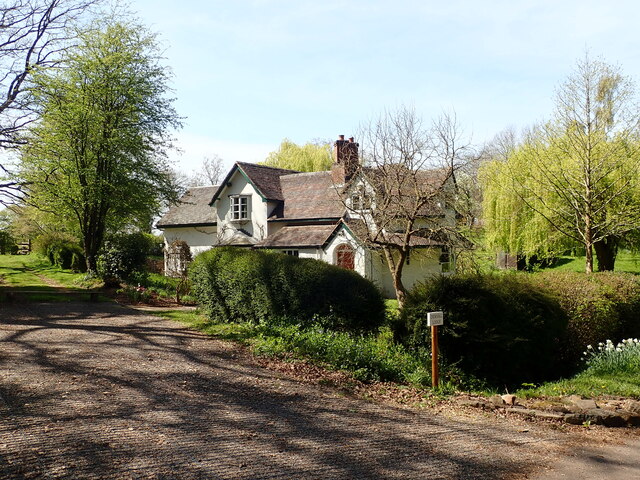
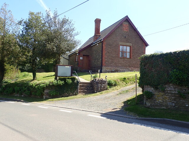
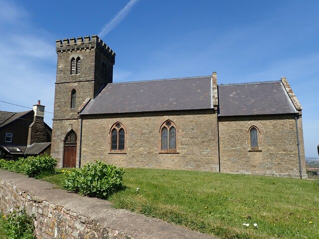
Wellington Coppice Images

Images are sourced within 2km of 52.015097/-2.752289 or Grid Reference SO4835. Thanks to Geograph Open Source API. All images are credited.

A49 near Norton Brook Farm
Footpath through a field of wheat No mistaking where the footpath is
Footpath through a field of wheat
No mistaking where the footpath is
Covered reservoir near Callow Surrounded by trees and a fence, in the middle of a field
Covered reservoir near Callow
Surrounded by trees and a fence, in the middle of a field
Covered reservoir near Callow Surrounded by trees and a fence, in the middle of a field
Covered reservoir near Callow
Surrounded by trees and a fence, in the middle of a field
Herefordshire farmland
Footpath heading towards Dewsall Court
St Michael's Church, Dewsall Court
Minor country road heading for Callow
Ploughing on Blakemore Hill
Haywood Cottages On a minor road west of Callow
Haywood Cottages
On a minor road west of Callow
Field of oilseed rape near Callow
Gateposts, Haywood Farm
Signpost, post box and Parish Council Notice Board At a road junction at the southern end of Knockerhill Wood
Signpost, post box and Parish Council Notice Board
At a road junction at the southern end of Knockerhill Wood
Dewsall Lodge, near Callow
The Village Hall, Callow
St Mary's Church, Callow
Rolling Herefordshire farmland Rolling Herefordshire farmland near Allensmore.
Rolling Herefordshire farmland
Rolling Herefordshire farmland near Allensmore.
View over farmland south of Grafton Dinedor Hill can be seen in the middle distance, and the Malvern Hills in the far distance on the left.
View over farmland south of Grafton
Dinedor Hill can be seen in the middle distance, and the Malvern Hills in the far distance on the left.
Show me another place!

Wellington Coppice is located at Grid Ref: SO4835 (Lat: 52.015097, Lng: -2.752289)

Unitary Authority: County of Herefordshire

Police Authority: West Mercia

What 3 Words

///worlds.moped.appeal. Near Callow, Herefordshire

Related Wikis

Haywood, Herefordshire

Haywood is a civil parish in Herefordshire, England, and south-west of Hereford. Parish population at the 2011 census was 216. There are no substantial...

Callow, Herefordshire

Callow is a village and civil parish in Herefordshire, England, about 4 miles (6.4 km) south of Hereford. The church is dedicated to St Mary. == External... ==

Dewsall

Dewsall is a civil parish in south Herefordshire, England, approximately 4 miles (6 km) south from the city and county town of Hereford. The nearest market...

Grafton, Herefordshire

Grafton is a village and civil parish in Herefordshire, England. The population of this civil parish was 258 at the 2011 census. The parish includes the...

Nearby Amenities

Located within 500m of 52.015097,-2.752289
Haywood Farm Microlight Strip
Addr City: Callow
Aeroway: aerodrome
Lat/Long: 52.0136627/-2.7567743
Haywood
Power: pole
Transformer: distribution
Voltage Primary: 11000
Lat/Long: 52.0126344/-2.7521201
Power: pole
Lat/Long: 52.0111226/-2.7509379
Power: pole
Lat/Long: 52.0119143/-2.7512531
Power: pole
Lat/Long: 52.0127397/-2.7515884
Power: pole
Lat/Long: 52.0128437/-2.7510828
Power: pole
Lat/Long: 52.0130558/-2.7501199
Power: pole
Lat/Long: 52.0132696/-2.7490725
Power: pole
Lat/Long: 52.0156286/-2.7481055
Haywood Forest
Power: pole
Transformer: distribution
Voltage Primary: 11000
Lat/Long: 52.0166211/-2.7493742
Power: pole
Lat/Long: 52.0159744/-2.748538
Power: pole
Lat/Long: 52.0153104/-2.7476978
Power: pole
Lat/Long: 52.015154/-2.7476623
Power: pole
Lat/Long: 52.0148639/-2.7476294
Power: pole
Lat/Long: 52.0144367/-2.7475483
Power: pole
Lat/Long: 52.0143658/-2.7477394
Forest Gate
Power: pole
Transformer: distribution
Voltage Primary: 11000
Lat/Long: 52.0141652/-2.7482517
Power: pole
Lat/Long: 52.0139452/-2.7464659
Power: pole
Lat/Long: 52.0142336/-2.7457296
Power: pole
Lat/Long: 52.0137009/-2.7470896
Power: pole
Lat/Long: 52.0134747/-2.7480298
Power: pole
Lat/Long: 52.0144797/-2.7451015
The data included in this document is from www.openstreetmap.org. The data is made available under ODbL.

Have you been to Wellington Coppice?

Leave your review of Wellington Coppice below (or comments, questions and feedback).