Haywood Forest
Wood, Forest in Herefordshire
England
Haywood Forest

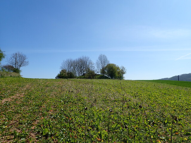
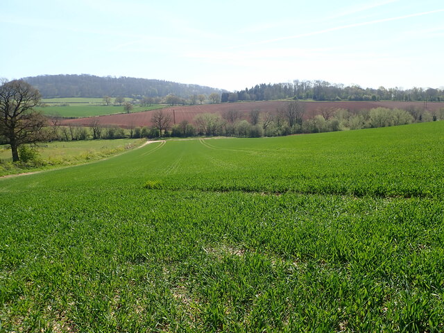
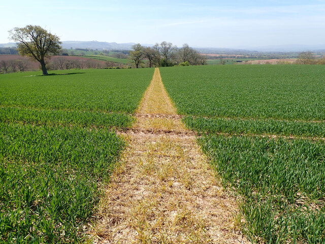
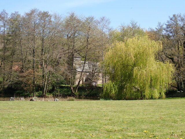
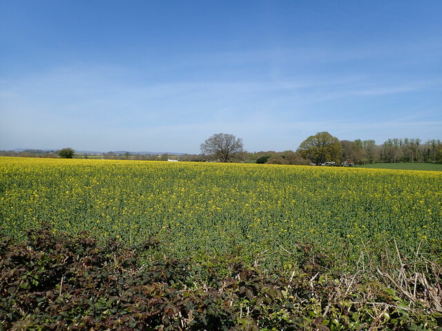
Haywood Forest is a picturesque woodland located in Herefordshire, England. Spanning approximately 500 acres, it is a popular destination for nature enthusiasts and outdoor enthusiasts alike. The forest is nestled within the beautiful countryside, boasting a diverse range of flora and fauna.
Characterized by its dense woodland and towering trees, Haywood Forest offers a tranquil escape from the hustle and bustle of everyday life. The forest is primarily composed of broadleaf trees, such as oak, beech, and ash, which create a stunning canopy that provides shade and shelter for various wildlife species.
Visitors to Haywood Forest can enjoy a range of activities, including hiking, cycling, and wildlife spotting. The forest is crisscrossed with well-maintained trails that offer scenic views and opportunities to immerse oneself in nature. Birdwatchers will also find Haywood Forest to be a haven, as it is home to a diverse array of avian species, including woodpeckers, owls, and various songbirds.
In addition to its natural beauty, Haywood Forest also has a rich cultural history. The forest has been used for timber production for centuries, and remnants of old sawmills can still be found within its boundaries. The area is also known for its ancient woodland, with some parts dating back hundreds of years.
Overall, Haywood Forest in Herefordshire offers a serene and enchanting experience for those seeking solace in nature. With its breathtaking scenery and abundant wildlife, it is a must-visit destination for nature lovers and anyone looking to escape the urban grind.
If you have any feedback on the listing, please let us know in the comments section below.
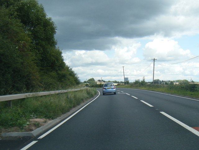
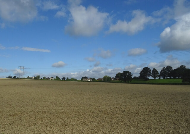
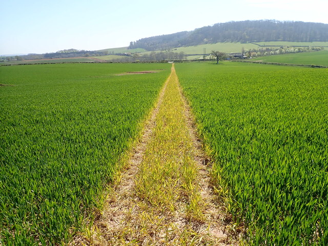
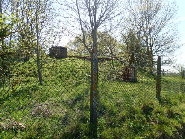
Haywood Forest Images
Images are sourced within 2km of 52.014169/-2.7484267 or Grid Reference SO4835. Thanks to Geograph Open Source API. All images are credited.


Haywood Forest is located at Grid Ref: SO4835 (Lat: 52.014169, Lng: -2.7484267)
Unitary Authority: County of Herefordshire
Police Authority: West Mercia
What 3 Words
///sadly.roofs.bake. Near Callow, Herefordshire
Nearby Locations
Related Wikis

Haywood, Herefordshire
Haywood is a civil parish in Herefordshire, England, and south-west of Hereford. Parish population at the 2011 census was 216. There are no substantial...

Callow, Herefordshire
Callow is a village and civil parish in Herefordshire, England, about 4 miles (6.4 km) south of Hereford. The church is dedicated to St Mary. == External... ==

Dewsall
Dewsall is a civil parish in south Herefordshire, England, approximately 4 miles (6 km) south from the city and county town of Hereford. The nearest market...
Grafton, Herefordshire
Grafton is a village and civil parish in Herefordshire, England. The population of this civil parish was 258 at the 2011 census. The parish includes the...

Allensmore
Allensmore is a village in Herefordshire, England. It is located on the A465 road about 4 miles (6 km) south-west of Hereford. The church is dedicated...
Aconbury Camp
Aconbury Camp is an Iron Age hillfort on Aconbury Hill in Herefordshire, England, about 4 miles (6 km) south of Hereford, and near the village of Aconbury...

Belmont Abbey, Herefordshire
Belmont Abbey, in Herefordshire, England, is a Catholic Benedictine monastery that forms part of the English Benedictine Congregation. It stands on a small...

Tram Inn railway station
Tram Inn railway station was a station to the east of Thruxton, Herefordshire, England. It was named after a local public house, itself named after a tramway...
Nearby Amenities
Located within 500m of 52.014169,-2.7484267Have you been to Haywood Forest?
Leave your review of Haywood Forest below (or comments, questions and feedback).