Haywood
Civil Parish in Herefordshire
England
Haywood
Haywood is a civil parish located in the county of Herefordshire, England. It is situated approximately 7 miles southeast of Hereford, the county town. The parish covers an area of about 6 square miles and is nestled in the picturesque countryside of the Wye Valley.
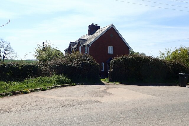
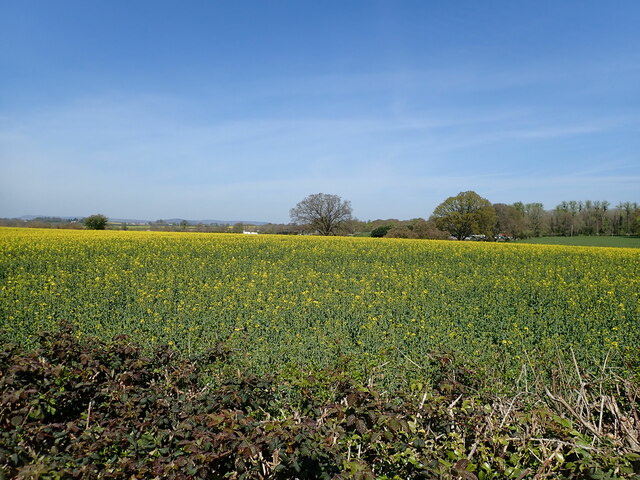
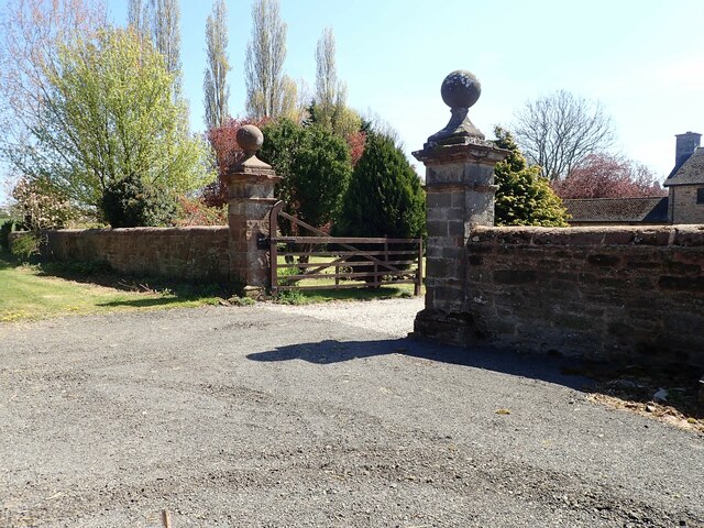
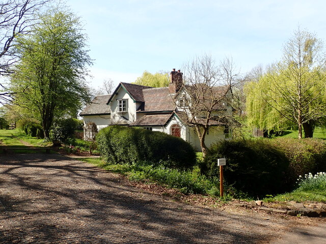
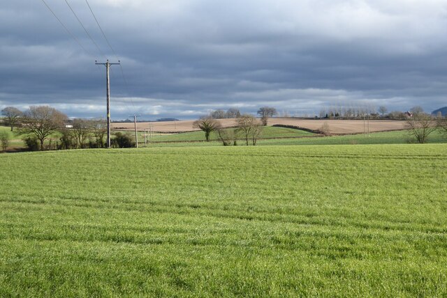
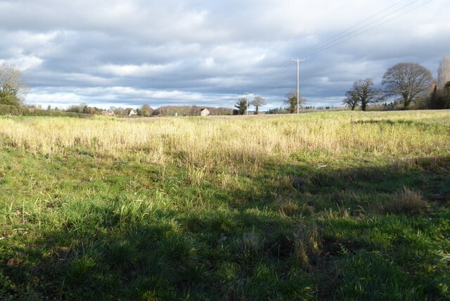
Haywood is a small rural community with a population of around 300 residents. The parish is mainly composed of agricultural land, characterized by rolling hills and lush green fields. The landscape is dotted with traditional farmhouses, barns, and country cottages, giving the area a charming and idyllic atmosphere.
The parish is surrounded by natural beauty, with the River Wye flowing nearby and offering opportunities for outdoor activities such as fishing and boating. The area is also known for its scenic walking trails, giving visitors the chance to explore the stunning countryside and enjoy the peaceful surroundings.
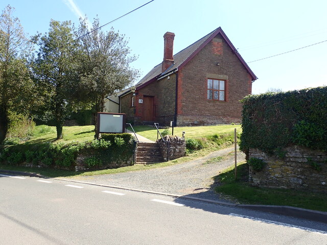
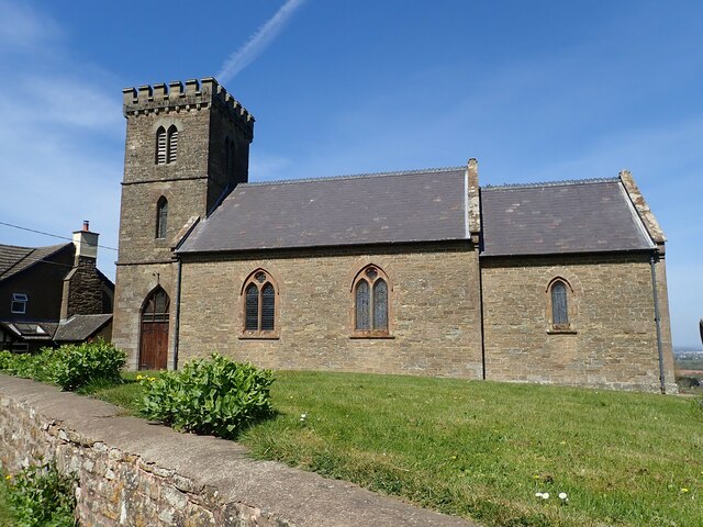
Despite its small size, Haywood has a strong sense of community and boasts a number of amenities. These include a village hall, a church, and a primary school, providing essential services and fostering a close-knit community spirit.
Haywood's proximity to Hereford allows residents to easily access a wider range of amenities, including shops, restaurants, and leisure facilities. The city also provides excellent transport links, with regular bus services and a train station connecting Haywood to other parts of the county and beyond.
Overall, Haywood offers a tranquil and picturesque setting for those seeking a peaceful rural lifestyle, while still enjoying the convenience of nearby amenities.
If you have any feedback on the listing, please let us know in the comments section below.
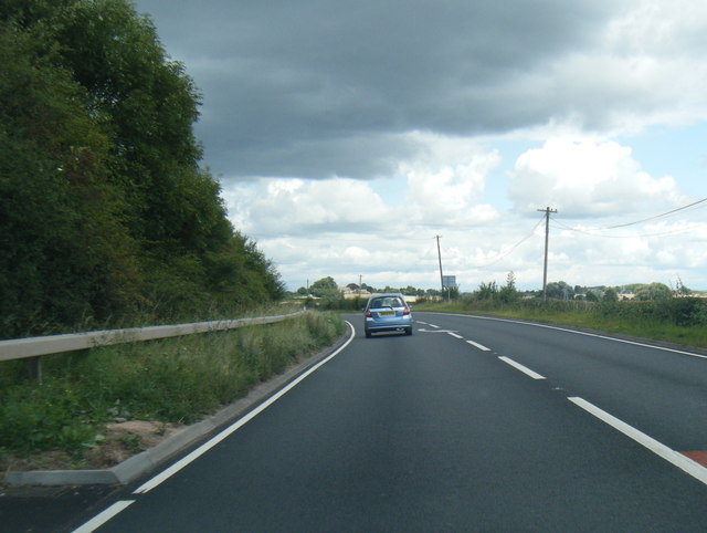
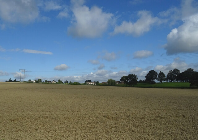
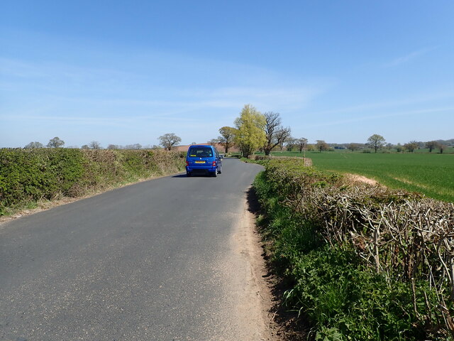
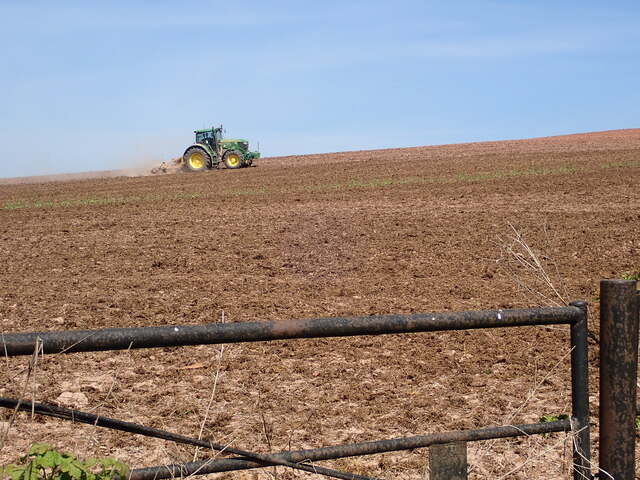
Haywood Images
Images are sourced within 2km of 52.018751/-2.754304 or Grid Reference SO4835. Thanks to Geograph Open Source API. All images are credited.


Haywood is located at Grid Ref: SO4835 (Lat: 52.018751, Lng: -2.754304)
Unitary Authority: County of Herefordshire
Police Authority: West Mercia
What 3 Words
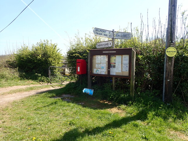
///slanting.stole.falters. Near Callow, Herefordshire
Nearby Locations
Related Wikis

Haywood, Herefordshire
Haywood is a civil parish in Herefordshire, England, and south-west of Hereford. Parish population at the 2011 census was 216. There are no substantial...
Grafton, Herefordshire
Grafton is a village and civil parish in Herefordshire, England. The population of this civil parish was 258 at the 2011 census. The parish includes the...

Callow, Herefordshire
Callow is a village and civil parish in Herefordshire, England, about 4 miles (6.4 km) south of Hereford. The church is dedicated to St Mary. == External... ==

Allensmore
Allensmore is a village in Herefordshire, England. It is located on the A465 road about 4 miles (6 km) south-west of Hereford. The church is dedicated...

Belmont Abbey, Herefordshire
Belmont Abbey, in Herefordshire, England, is a Catholic Benedictine monastery that forms part of the English Benedictine Congregation. It stands on a small...

Dewsall
Dewsall is a civil parish in south Herefordshire, England, approximately 4 miles (6 km) south from the city and county town of Hereford. The nearest market...
The Hereford Academy
The Hereford Academy is a secondary school and sixth form located in Hereford, Herefordshire, England.It was known as Haywood High School in the late seventies...
Belmont Rural
Belmont Rural is a civil parish in Herefordshire, England. The population of the Civil Parish taken at the 2011 Census was 3,769. It is south-west of...
Nearby Amenities
Located within 500m of 52.018751,-2.754304Have you been to Haywood?
Leave your review of Haywood below (or comments, questions and feedback).