Ash Covert

Wood, Forest in Shropshire

England

Ash Covert

The Old School House, Stapleton
The Old School House, Stapleton Credit: Bill Harrison

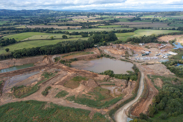
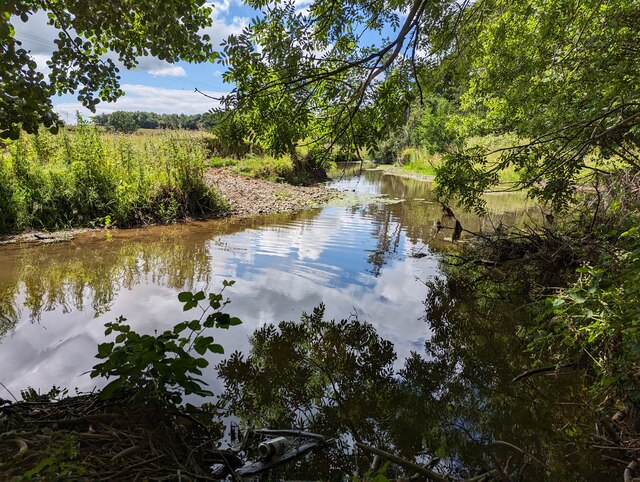
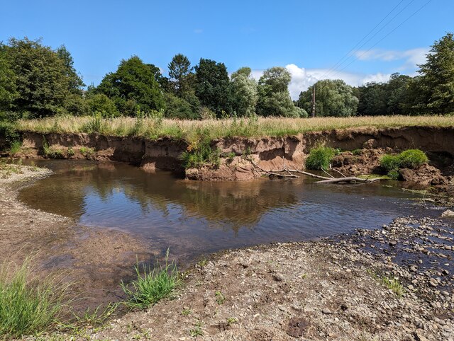
Ash Covert is a picturesque woodland area located in the county of Shropshire, England. Situated near the village of Ashford Bowdler, it is known for its dense forest cover and natural beauty. Spanning approximately 200 acres, Ash Covert is a haven for nature enthusiasts and offers a tranquil escape from the hustle and bustle of urban life.

The woodland is primarily composed of ash trees, which lend the area its name. These tall, slender trees dominate the landscape, creating a serene and enchanting atmosphere. The forest floor is covered in a lush carpet of moss, ferns, and wildflowers, providing a habitat for a diverse range of flora and fauna.

Ash Covert is home to a variety of wildlife, including deer, squirrels, and a wide array of bird species. Nature lovers will appreciate the opportunity to observe these animals in their natural habitat, making it a popular spot for birdwatching and wildlife photography.

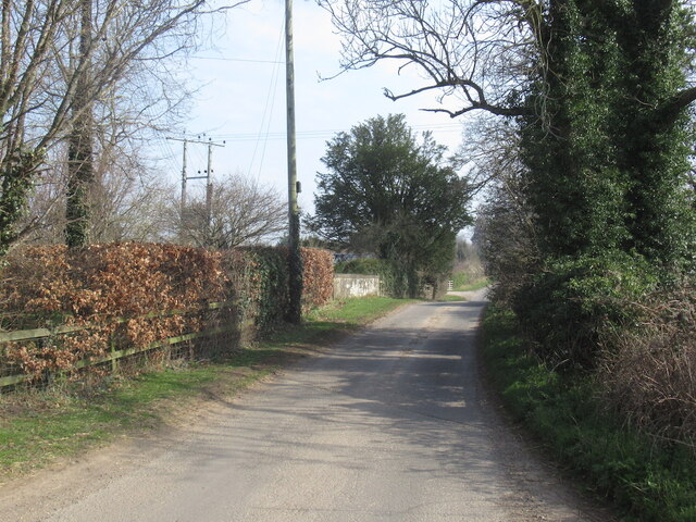
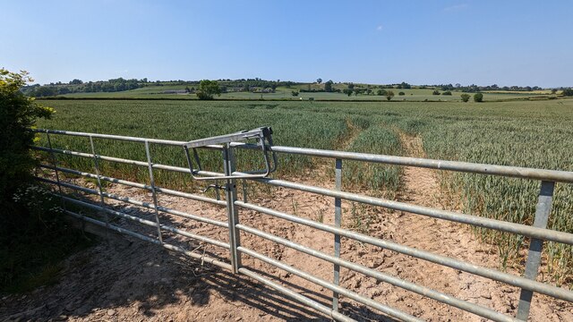
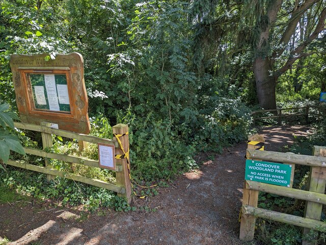
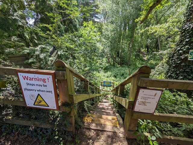
The woodland is crisscrossed by a network of footpaths and trails, allowing visitors to explore the area at their own pace. These paths wind through the towering trees, providing breathtaking views and opportunities for peaceful walks. The tranquil ambiance and fresh air make Ash Covert a favorite destination for those seeking solace in nature.

In addition to its natural beauty, Ash Covert has historical significance. It is believed to have been a hunting ground for the nobility in medieval times, and remnants of ancient hunting lodges can still be found within the woodland.

Overall, Ash Covert in Shropshire is a captivating destination for nature lovers, offering a perfect blend of tranquility, natural beauty, and historical charm.

If you have any feedback on the listing, please let us know in the comments section below.

Ash Covert Images

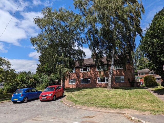
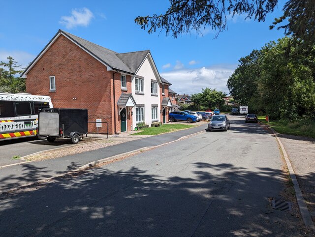
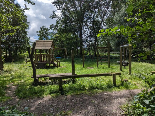
Images are sourced within 2km of 52.635315/-2.765325 or Grid Reference SJ4804. Thanks to Geograph Open Source API. All images are credited.

The Old School House, Stapleton
Stapleton
Stapleton
Kelly Bronze Christmas turkeys in Condover An advertisement for Kelly Bronze Christmas turkeys in Condover by the junction to Cantlop.
Kelly Bronze Christmas turkeys in Condover
An advertisement for Kelly Bronze Christmas turkeys in Condover by the junction to Cantlop.
Condover Hall Pictured during the 2022 Condover Christmas Fayre which took place inside the hall.
Condover Hall
Pictured during the 2022 Condover Christmas Fayre which took place inside the hall.
Gonsal Quarry Sand and gravel quarry to the south of Condover.
Gonsal Quarry
Sand and gravel quarry to the south of Condover.
Church of St John the - Baptist, Stapleton <span class="nowrap"><a title="https://historicengland.org.uk/listing/the-list/list-entry/1176071?section=official-list-entry" rel="nofollow ugc noopener" href="https://historicengland.org.uk/listing/the-list/list-entry/1176071?section=official-list-entry">Link</a><img style="margin-left:2px;" alt="External link" title="External link - shift click to open in new window" src="https://s1.geograph.org.uk/img/external.png" width="10" height="10"/></span>
Church of St John the - Baptist, Stapleton
Overgrown gap in hedge to footpath The access to the footpath gate is very overgrown, although still just about passable. The other side of the hedge the footpath goes across a golf course.
Overgrown gap in hedge to footpath
The access to the footpath gate is very overgrown, although still just about passable. The other side of the hedge the footpath goes across a golf course.
Footpath through field to north of Shrewsbury Golf Club You'd barely know there was a footpath in this field - there is no signage. However, the gate is left unlocked - I guess because they have to as it's a Public Right of Way. Lyth Hill is in the background.
Footpath through field to north of Shrewsbury Golf Club
You'd barely know there was a footpath in this field - there is no signage. However, the gate is left unlocked - I guess because they have to as it's a Public Right of Way. Lyth Hill is in the background.
Farriers Cottage, Condover
Flats in Condover
Flats in Condover
Houses on Brook Close, Condover
Entrance to Condover Woodland Park The notice on the left says it was closed at the time (hence the broken yellow/black ticker tape) but this was only likely due to a small section of subsided path, which was easily avoided.
Entrance to Condover Woodland Park
The notice on the left says it was closed at the time (hence the broken yellow/black ticker tape) but this was only likely due to a small section of subsided path, which was easily avoided.
Play park in Condover Woodland Park
Looking upstream along Cound Brook The brook has a low level (as is often the case in summer) at present.
Looking upstream along Cound Brook
The brook has a low level (as is often the case in summer) at present.
Bank of Cound Brook Gives an indication of how relatively low the water level is.
Bank of Cound Brook
Gives an indication of how relatively low the water level is.
Steps down to Condover Woodland Park
Looking east along Harley Road, Condover
Condover Post Office
Show me another place!

Ash Covert is located at Grid Ref: SJ4804 (Lat: 52.635315, Lng: -2.765325)

Unitary Authority: Shropshire

Police Authority: West Mercia

What 3 Words

///flirts.buffoon.minivans. Near Longnor, Shropshire

Nearby Locations

Condover Ash Covert

Related Wikis

Shrewsbury and Atcham

Shrewsbury and Atcham was a local government district with borough status in Shropshire, England, between 1974 and 2009. Shrewsbury was the only town in...

Great Ryton

Great Ryton is a small village in Shropshire, England, to the south of Shrewsbury. It is located less than 1 mile (1.6 kilometres) to the northeast of...

Dorrington railway station

Dorrington railway station was a station in Dorrington, Shropshire, England. The station was opened in 1852 and closed in 1958.On the site of the station...

Stapleton, Shropshire

Stapleton () is a village and former civil parish, now in the parish of Condover, in Shropshire, England. It neighbours the villages of Exfords Green and...

Nearby Amenities

Located within 500m of 52.635315,-2.765325
Gonsal
Place: locality
Lat/Long: 52.6331206/-2.7684959
Give Way
Direction: backward
Lat/Long: 52.6333185/-2.7592178
Give Way
Direction: forward
Lat/Long: 52.6332657/-2.7590253
Give Way
Direction: backward
Lat/Long: 52.633163/-2.7591983
The data included in this document is from www.openstreetmap.org. The data is made available under ODbL.

Have you been to Ash Covert?

Leave your review of Ash Covert below (or comments, questions and feedback).