Quarry Wood

Wood, Forest in Lancashire Lancaster

England

Quarry Wood

OS Bench Mark OS cut bench mark from the 20th century levelling, on buttress of old school (now private dwellings). 26.222 m above datum.
OS Bench Mark Credit: Phil Johnstone

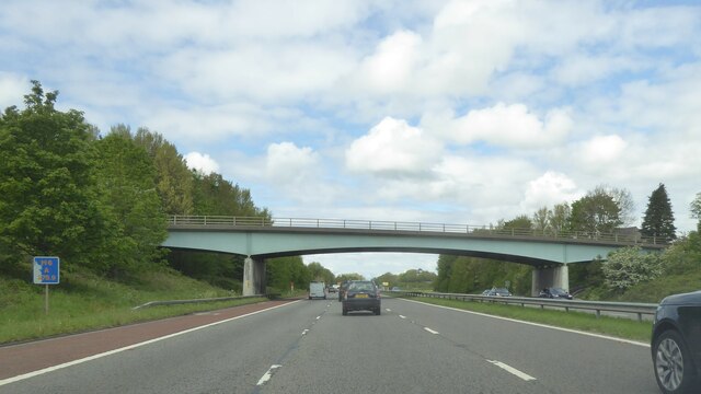
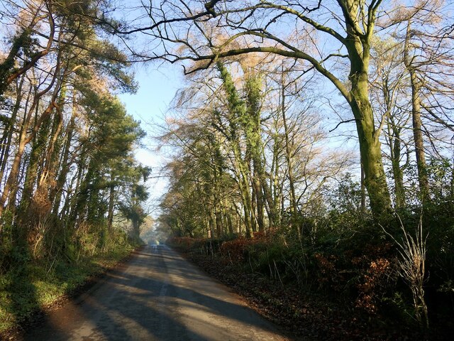
Quarry Wood is a picturesque woodland located in the county of Lancashire, England. Covering an area of approximately 100 acres, it is a thriving forest that offers a tranquil escape from the bustling city life.

The wood is characterized by its diverse range of trees, including oak, beech, and birch, which create a dense canopy overhead. This lush greenery provides a haven for various wildlife species, such as squirrels, rabbits, and a wide array of bird species. Nature enthusiasts can often be seen exploring the woodland, equipped with binoculars and cameras to capture the beauty of the local fauna.

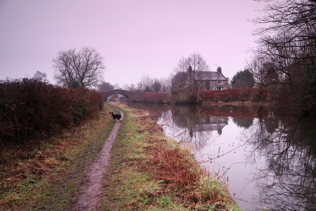
Trails and footpaths weave their way through the wood, inviting visitors to take leisurely walks or engage in more adventurous hikes. These paths offer stunning views of the surrounding countryside, with glimpses of rolling hills and open meadows. The wood is also intersected by a small stream, adding to its charm and providing a soothing soundtrack for those exploring its depths.

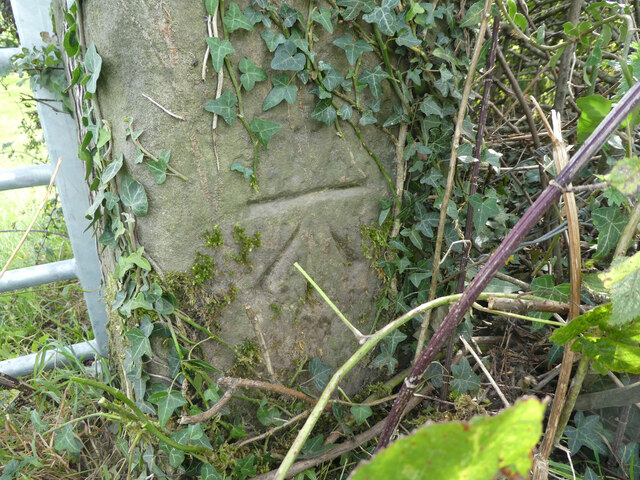
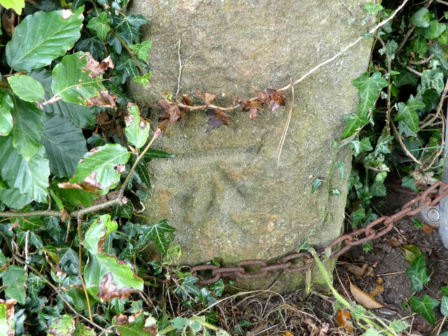
Quarry Wood has a rich history, with evidence of quarrying activities dating back centuries. The stone extracted from the quarry was used in the construction of local buildings, adding to the region's architectural heritage. Today, remnants of this industrial past can still be seen within the wood, with abandoned quarry pits and stone ruins acting as reminders of its significance.

With its tranquil atmosphere, diverse wildlife, and historical significance, Quarry Wood is a true gem within Lancashire's natural landscape. Whether one seeks solace in nature, an opportunity for outdoor activities, or simply a chance to immerse themselves in the region's history, this woodland offers something for everyone.

If you have any feedback on the listing, please let us know in the comments section below.

Quarry Wood Images

Images are sourced within 2km of 53.980564/-2.7898986 or Grid Reference SD4854. Thanks to Geograph Open Source API. All images are credited.

OS Bench Mark OS cut bench mark from the 20th century levelling, on buttress of old school (now private dwellings). 26.222 m above datum.
OS Bench Mark
OS cut bench mark from the 20th century levelling, on buttress of old school (now private dwellings). 26.222 m above datum.
OS Bench Mark OS cut bench mark from the 20th century levelling, on St John the Evangelist church. 26.414 m above datum.
OS Bench Mark
OS cut bench mark from the 20th century levelling, on St John the Evangelist church. 26.414 m above datum.
OS Bench Mark OS cut bench mark from the 19th century levelling on corner of old silk mill building. 81.7 feet above old datum. Somewhat weathered.
OS Bench Mark
OS cut bench mark from the 19th century levelling on corner of old silk mill building. 81.7 feet above old datum. Somewhat weathered.
OS Bench Mark OS cut bench mark with bolt from the 19th century levelling, on south side of Galgate Bridge over Lancaster Canal. 75.6 feet above old datum.
OS Bench Mark
OS cut bench mark with bolt from the 19th century levelling, on south side of Galgate Bridge over Lancaster Canal. 75.6 feet above old datum.
Bridge over M6 northbound
M6 northbound
M6 northbound
OS Bench Mark OS cut bench mark on parapet of bridge over River Conder. 22.061 m above datum.
OS Bench Mark
OS cut bench mark on parapet of bridge over River Conder. 22.061 m above datum.
OS Bench Mark OS cut bench mark on parapet of A6 bridge over stream. 21.046 m above datum.
OS Bench Mark
OS cut bench mark on parapet of A6 bridge over stream. 21.046 m above datum.
OS Bench Mark OS cut bench mark on buttress of bridge carrying Stoney Lane under M6. 29.474 m above datum.
OS Bench Mark
OS cut bench mark on buttress of bridge carrying Stoney Lane under M6. 29.474 m above datum.
OS Bench Mark OS cut bench mark on gatestoop on Hampson Lane. 124.8 feet above old datum. Some gardening was necessary to reveal it.
OS Bench Mark
OS cut bench mark on gatestoop on Hampson Lane. 124.8 feet above old datum. Some gardening was necessary to reveal it.
OS Bench Mark OS cut bench mark on gatestoop. 227.5 feet above old datum. Severely weathered.
OS Bench Mark
OS cut bench mark on gatestoop. 227.5 feet above old datum. Severely weathered.
Galgate Silk Mill Viewed from West Coast Main Line Railway
Galgate Silk Mill
Viewed from West Coast Main Line Railway
Junction 33 signage - M6 northbound
Hampson Lane bridge - M6 northbound
Footbridge - M6 northbound
Farmland near Galgate
Treelined road, Newland
Richmond bridge and Canal Cottage Definitely time to turn round and head back to the car as the daylight fades - under this heavy overcast it didn't feel like pretty sunset light, but the camera clearly shows that the world was turning pink, somewhat to my surprise. This is bridge number 80 (numbering runs from Preston northwards) on the Lancaster Canal. The dog, as always, is up for the walk to go on much longer - she has no sense of time pressing (and I'd not brought a head torch).
Richmond bridge and Canal Cottage
Definitely time to turn round and head back to the car as the daylight fades - under this heavy overcast it didn't feel like pretty sunset light, but the camera clearly shows that the world was turning pink, somewhat to my surprise. This is bridge number 80 (numbering runs from Preston northwards) on the Lancaster Canal. The dog, as always, is up for the walk to go on much longer - she has no sense of time pressing (and I'd not brought a head torch).
Show me another place!

Quarry Wood is located at Grid Ref: SD4854 (Lat: 53.980564, Lng: -2.7898986)

Administrative County: Lancashire

District: Lancaster

Police Authority: Lancashire

What 3 Words

///scrapping.udder.chucked. Near Galgate, Lancashire

Nearby Locations

Quarry Wood

Related Wikis

Galgate railway station

Galgate railway station served the village of Galgate in Lancashire, England. == References ==

Galgate

Galgate is a village in the City of Lancaster, just south of Lancaster University, and about 3 miles (4.8 km) south of Lancaster itself in the English...

Bay Horse railway station

Bay Horse railway station (also known as Bayhorse station) was a rural station in Lancashire, England. It was named after the nearby Bay Horse Inn, and...

Bay Horse

Bay Horse is a sparsely populated hamlet in the English county of Lancashire. It lies between Lancaster and Preston to the north and south respectively...

Related Videos

My birthday 🎈🎂 diary: Thurnham Hall; Abbeystead // the day before the relay

We started celebrating my birthday the evening before by going to Thurnham Hall and staying there overnight. The following day ...

Moon walk lol #shorts #insta360

Insta360 x3 special effects #insta360 #trending #youtube #subscribe #shorts #moon #walking #amazing.

Middle Crag Trig

Today was waaaayyyy too hot to do any substantial walking so I headed off and did a quick womble up to Middle Crag Trig near ...

Nearby Amenities

Located within 500m of 53.980564,-2.7898986
Hampson Lane
Bus: yes
Public Transport: stop_position
Public Transport Version: 2
Lat/Long: 53.9801124/-2.7851183
Hampson Lane
Bus: yes
Public Transport: stop_position
Lat/Long: 53.9796987/-2.7849839
Seamark Type: gate
Waterway: lock_gate
Lat/Long: 53.983965/-2.7929222
Seamark Type: gate
Waterway: lock_gate
Lat/Long: 53.9840637/-2.792546
Bus Stop
Hampson Lane
Bench: yes
Bus: yes
Naptan AtcoCode: 2500LA00035
Naptan Bearing: N
Naptan BusStopType: MKD
Naptan CommonName: Hampson Lane
Naptan Indicator: by
Naptan Landmark: Hampson Green
Naptan LocalityCode: E0015971
Naptan NaptanCode: langmwgw
Naptan Street: Preston Lancaster Road
Naptan Verified: yes
Public Transport: platform
Ref: langmwgw
Shelter: yes
Lat/Long: 53.9800785/-2.7853096
Waste Basket
Lat/Long: 53.9801139/-2.7853113
Give Way
Direction: backward
Lat/Long: 53.9781409/-2.7848075
Give Way
Direction: forward
Lat/Long: 53.9804486/-2.7851763
Bus Stop
Hampson Lane
Bench: no
Bus: yes
Naptan AtcoCode: 250011871
Naptan Bearing: S
Naptan BusStopType: MKD
Naptan CommonName: Hampson Lane
Naptan Indicator: opp
Naptan Landmark: Hampson Lane
Naptan LocalityCode: E0015971
Naptan NaptanCode: lanagpjp
Naptan Street: Preston Lancaster Road
Naptan Verified: yes
Public Transport: platform
Ref: lanagpjp
Shelter: no
Lat/Long: 53.9797/-2.78487
Barrier: stile
Material: metal
Step Count: 3
Stile: ladder
Lat/Long: 53.9807566/-2.7827653
Barrier: stile
Material: wood
Step Count: 2
Stile: stepover
Lat/Long: 53.9816478/-2.7835066
Barrier: stile
Material: wood
Step Count: 2
Stile: stepover
Lat/Long: 53.9819015/-2.7836786
Barrier: stile
Material: wood
Step Count: 1
Stile: stepover
Lat/Long: 53.9783972/-2.7845514
Bench
Backrest: yes
Material: plastic
Lat/Long: 53.9844069/-2.7924164
Bench
Backrest: yes
Material: plastic
Lat/Long: 53.98413/-2.7925472
Information: board
Tourism: information
Lat/Long: 53.9841241/-2.7925808
Information: board
Tourism: information
Lat/Long: 53.9841097/-2.7927193
Life Ring
Emergency: life_ring
Lat/Long: 53.9841008/-2.7927856
Colour: Black
Man Made: street_cabinet
Lat/Long: 53.9840448/-2.793022
The data included in this document is from www.openstreetmap.org. The data is made available under ODbL.

Have you been to Quarry Wood?

Leave your review of Quarry Wood below (or comments, questions and feedback).