Condover

Civil Parish in Shropshire

England

Condover

The Old School House, Stapleton
The Old School House, Stapleton Credit: Bill Harrison

Condover is a civil parish located in the county of Shropshire, England. Situated approximately 5 miles south of Shrewsbury, the parish covers an area of about 3 square miles and is home to a population of around 1,100 people.

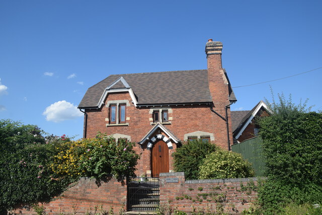
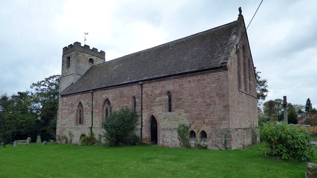
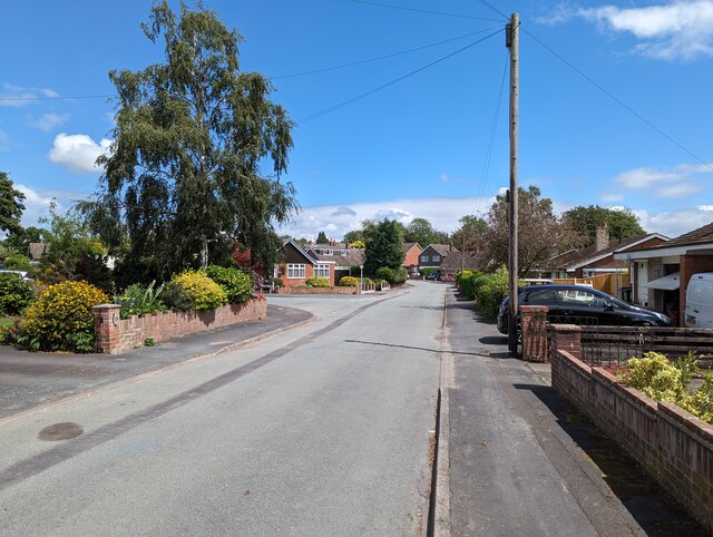
The village of Condover itself is nestled in the picturesque countryside, surrounded by rolling hills and farmland. It is known for its charming and historic architecture, with many buildings dating back to the 17th and 18th centuries. The centerpiece of the village is the St. Andrew's Church, a Grade I listed building that dates back to the 11th century.

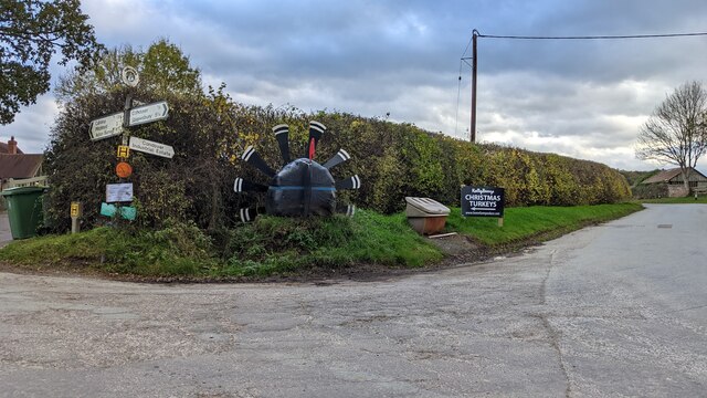
Condover is a tight-knit community that offers a range of amenities and services for its residents. These include a primary school, a village hall, a post office, and a local pub. The village also has a strong sense of community spirit, with various clubs and societies organizing events and activities throughout the year.

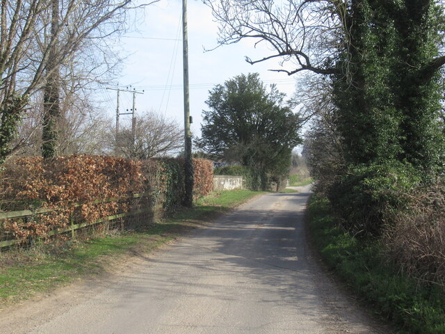
In terms of transportation, Condover is well-connected to the surrounding areas. The A49 road runs through the parish, providing easy access to Shrewsbury and other nearby towns. There is also a train station in the neighboring village of Dorrington, offering regular services to Shrewsbury and further afield.

With its idyllic location and strong community spirit, Condover is a charming place to live or visit. Whether it's exploring the historic buildings, enjoying the scenic countryside, or participating in local events, there is something for everyone in this picturesque Shropshire civil parish.

If you have any feedback on the listing, please let us know in the comments section below.
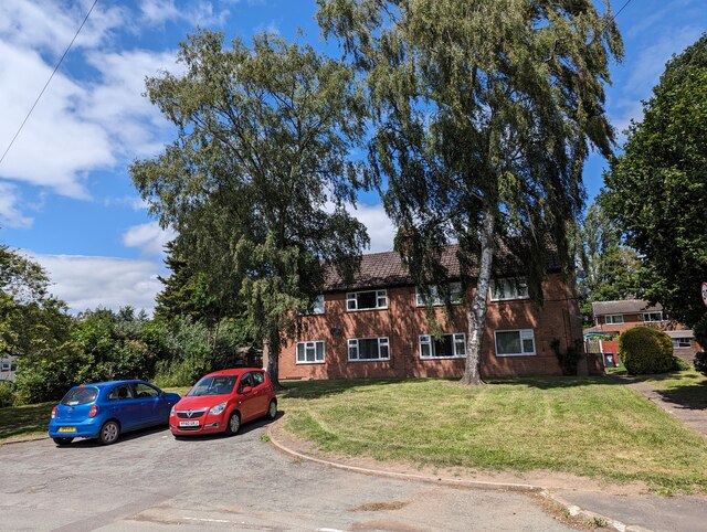
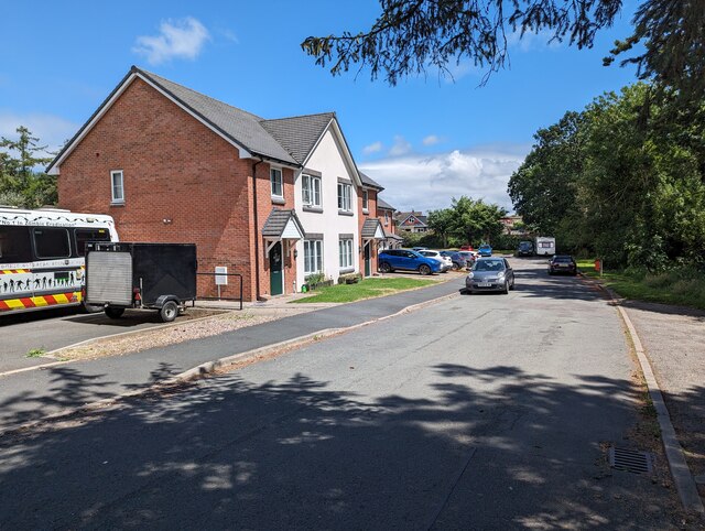
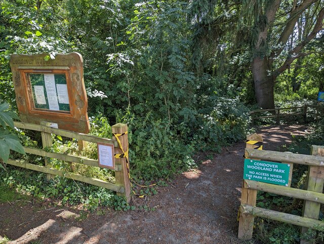
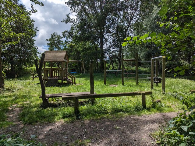
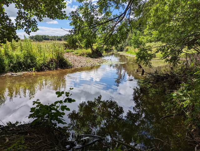
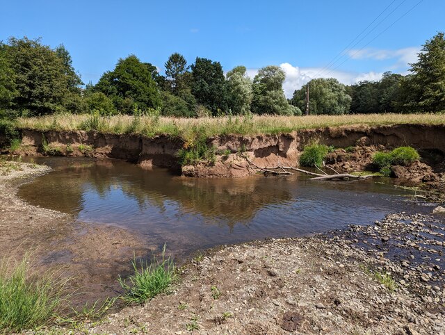
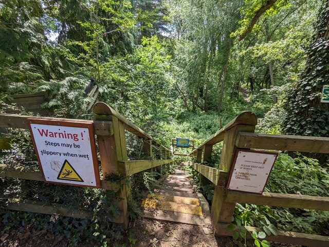
Condover Images

Images are sourced within 2km of 52.633827/-2.766404 or Grid Reference SJ4804. Thanks to Geograph Open Source API. All images are credited.

The Old School House, Stapleton
Stapleton
Stapleton
Kelly Bronze Christmas turkeys in Condover An advertisement for Kelly Bronze Christmas turkeys in Condover by the junction to Cantlop.
Kelly Bronze Christmas turkeys in Condover
An advertisement for Kelly Bronze Christmas turkeys in Condover by the junction to Cantlop.
Condover Hall Pictured during the 2022 Condover Christmas Fayre which took place inside the hall.
Condover Hall
Pictured during the 2022 Condover Christmas Fayre which took place inside the hall.
Gonsal Quarry Sand and gravel quarry to the south of Condover.
Gonsal Quarry
Sand and gravel quarry to the south of Condover.
Church of St John the - Baptist, Stapleton <span class="nowrap"><a title="https://historicengland.org.uk/listing/the-list/list-entry/1176071?section=official-list-entry" rel="nofollow ugc noopener" href="https://historicengland.org.uk/listing/the-list/list-entry/1176071?section=official-list-entry">Link</a><img style="margin-left:2px;" alt="External link" title="External link - shift click to open in new window" src="https://s1.geograph.org.uk/img/external.png" width="10" height="10"/></span>
Church of St John the - Baptist, Stapleton
Flats in Condover
Flats in Condover
Houses on Brook Close, Condover
Entrance to Condover Woodland Park The notice on the left says it was closed at the time (hence the broken yellow/black ticker tape) but this was only likely due to a small section of subsided path, which was easily avoided.
Entrance to Condover Woodland Park
The notice on the left says it was closed at the time (hence the broken yellow/black ticker tape) but this was only likely due to a small section of subsided path, which was easily avoided.
Play park in Condover Woodland Park
Looking upstream along Cound Brook The brook has a low level (as is often the case in summer) at present.
Looking upstream along Cound Brook
The brook has a low level (as is often the case in summer) at present.
Bank of Cound Brook Gives an indication of how relatively low the water level is.
Bank of Cound Brook
Gives an indication of how relatively low the water level is.
Steps down to Condover Woodland Park
Looking east along Harley Road, Condover
Lime Villa, Condover
Rear of Condover Village Hall
The Village Pantry, Condover A superb new business which open only weeks ago in The Old Bakery. Described as offering a wide range of locally sourced produce. Alongside the traditional products, the village shop presents a unique range of freshly baked cakes, artisan products and savoury delights.
The Village Pantry, Condover
A superb new business which open only weeks ago in The Old Bakery. Described as offering a wide range of locally sourced produce. Alongside the traditional products, the village shop presents a unique range of freshly baked cakes, artisan products and savoury delights.
Ordnance Survey Flush Bracket (2867) This OS Flush Bracket can be found on The Horseshoes Inn. It marks a point 108.810m above mean sea level.
Ordnance Survey Flush Bracket (2867)
This OS Flush Bracket can be found on The Horseshoes Inn. It marks a point 108.810m above mean sea level.
Show me another place!

Condover is located at Grid Ref: SJ4804 (Lat: 52.633827, Lng: -2.766404)

Unitary Authority: Shropshire

Police Authority: West Mercia

What 3 Words

///ditched.period.mainframe. Near Longnor, Shropshire

Nearby Locations

Condover Ash Covert

Related Wikis

Shrewsbury and Atcham

Shrewsbury and Atcham was a local government district with borough status in Shropshire, England, between 1974 and 2009. Shrewsbury was the only town in...

Dorrington railway station

Dorrington railway station was a station in Dorrington, Shropshire, England. The station was opened in 1852 and closed in 1958.On the site of the station...

Great Ryton

Great Ryton is a small village in Shropshire, England, to the south of Shrewsbury. It is located less than 1 mile (1.6 kilometres) to the northeast of...

Dorrington, Shropshire

Dorrington is a large village in Shropshire, England, it is located 6 miles (9.7 km) south of Shrewsbury. The population of the village was estimated as...

Nearby Amenities

Located within 500m of 52.633827,-2.766404
Gonsal
Place: locality
Lat/Long: 52.6331206/-2.7684959
Give Way
Direction: backward
Lat/Long: 52.6333185/-2.7592178
Give Way
Direction: backward
Lat/Long: 52.633163/-2.7591983
The data included in this document is from www.openstreetmap.org. The data is made available under ODbL.

Have you been to Condover?

Leave your review of Condover below (or comments, questions and feedback).