Condicote

Civil Parish in Gloucestershire Cotswold

England

Condicote

Modern memorial E of Hinchwick
Modern memorial E of Hinchwick Credit: Colin Park

Condicote is a civil parish located in the Cotswold district of Gloucestershire, England. It is a small village situated about 14 miles southeast of Cheltenham and approximately 4 miles north of Stow-on-the-Wold. The parish covers an area of about 1,000 acres and has a population of around 250 residents.

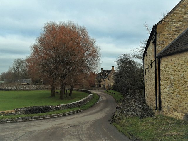
The village is nestled in the picturesque Cotswold countryside, characterized by rolling hills, lush green fields, and charming stone cottages. It exudes a quintessential English village atmosphere with its traditional architecture and peaceful surroundings.

Condicote has a rich history that can be traced back to the Domesday Book of 1086, where it was mentioned as "Condicote." The village has retained much of its historic charm, with several Grade II listed buildings, including the Church of St. Nicholas, which dates back to the 12th century.

The local economy primarily revolves around agriculture, with a mix of arable farming and livestock rearing. The area is known for its sheep farming and the production of high-quality wool. The village also benefits from tourism, as it attracts visitors who appreciate its natural beauty and historic appeal.

Despite its small size, Condicote has a strong sense of community, with a village hall that hosts various events and gatherings throughout the year. The village also has a primary school and a pub, providing essential amenities for its residents.

Condicote offers a tranquil and idyllic setting for those seeking a peaceful countryside lifestyle, while still being within easy reach of nearby towns and cities.

If you have any feedback on the listing, please let us know in the comments section below.

Condicote Images

Images are sourced within 2km of 51.959279/-1.78752 or Grid Reference SP1429. Thanks to Geograph Open Source API. All images are credited.

Modern memorial E of Hinchwick
Footpath running E towards Hans Brake, Hinchwick
Diamond Way Diamond Way at Beechy Bank
Diamond Way
Diamond Way at Beechy Bank
Quarry access
Quarry access
Edge of a plantation, Swell Wold
Approaching Condicote Green
South side of the Green at Condicote Condicote's special signature is the low stone wall surrounding its green.
South side of the Green at Condicote
Condicote's special signature is the low stone wall surrounding its green.
Pump and trees on the green, Condicote On these high wolds, remote from the river valleys, the pump must have been a vital facility for the village.
Pump and trees on the green, Condicote
On these high wolds, remote from the river valleys, the pump must have been a vital facility for the village.
The west end of Condicote Green Looking across from the south side to the rebuilt cross, bus shelter (former; the bus service appears to have been withdrawn) and Glebe Farmhouse behind.
The west end of Condicote Green
Looking across from the south side to the rebuilt cross, bus shelter (former; the bus service appears to have been withdrawn) and Glebe Farmhouse behind.
Condicote Green Looking east along the south side, from inside the wall.
Condicote Green
Looking east along the south side, from inside the wall.
Condicote Green
Condicote Green
North-west corner of Condicote Green In the foreground is the cross and behind it the church on the north side of the green.
North-west corner of Condicote Green
In the foreground is the cross and behind it the church on the north side of the green.
St Nicholas, across the Green
From St Nicholas' churchyard, Condicote Beyond the open field on the west side of Condicote Green, a line of wispy conifers (larch?) on the horizon encloses the village scene.
From St Nicholas' churchyard, Condicote
Beyond the open field on the west side of Condicote Green, a line of wispy conifers (larch?) on the horizon encloses the village scene.
Inside St Nicholas, Condicote The chancel arch is a good example of Transitional early Gothic, narrow with decoration still taking Norman Romanesque forms but with a pointed rather than a rounded arch.  A shame that like so many Cotswold churches it was scraped in the 19th century; plaster over the plain masonry around it would have emphasised it better.
Inside St Nicholas, Condicote
The chancel arch is a good example of Transitional early Gothic, narrow with decoration still taking Norman Romanesque forms but with a pointed rather than a rounded arch. A shame that like so many Cotswold churches it was scraped in the 19th century; plaster over the plain masonry around it would have emphasised it better.
Inside St Nicholas, Condicote The nave, looking west.
Inside St Nicholas, Condicote
The nave, looking west.
South across Condicote Green The view from the churchyard, in front of the porch.  The house facing is Cotswold House, a former farmhouse with a datestone of 1750 but still with traditional casement windows between stone mullions.
South across Condicote Green
The view from the churchyard, in front of the porch. The house facing is Cotswold House, a former farmhouse with a datestone of 1750 but still with traditional casement windows between stone mullions.
Condicote Green looking east Along the north side, looking past the church to Manor Farmhouse and Cotswold House.
Condicote Green looking east
Along the north side, looking past the church to Manor Farmhouse and Cotswold House.
Show me another place!

Condicote is located at Grid Ref: SP1429 (Lat: 51.959279, Lng: -1.78752)

Administrative County: Gloucestershire

District: Cotswold

Police Authority: Gloucestershire

What 3 Words

///skin.ooze.feasted. Near Donnington, Gloucestershire

Nearby Locations

Condicote Skew Covert

Related Wikis

Hinchwick

Hinchwick is a small village in Gloucestershire, England at grid reference SP145300. Hinchwick Manor was built by architect Charles Robert Cockerell in...

Condicote

Condicote is a small village in Gloucestershire, England. It is near the A424 road. It has a small church dedicated to St Nicholas. It has evidence of...

Bourton Down

Bourton Down (grid reference SP142313) is an 11.17-hectare (27.6-acre) biological Site of Special Scientific Interest near Bourton-on-the-Hill in Gloucestershire...

Ganborough

Ganborough is a hamlet located along the A424 road, approximately 2 miles NNW of Stow on the Wold. Ganborough is located in Gloucestershire, a county in...

New Park Quarry

New Park Quarry (grid reference SP175282) is a 1.3-hectare (3.2-acre) geological Site of Special Scientific Interest in Gloucestershire, notified in 1987...

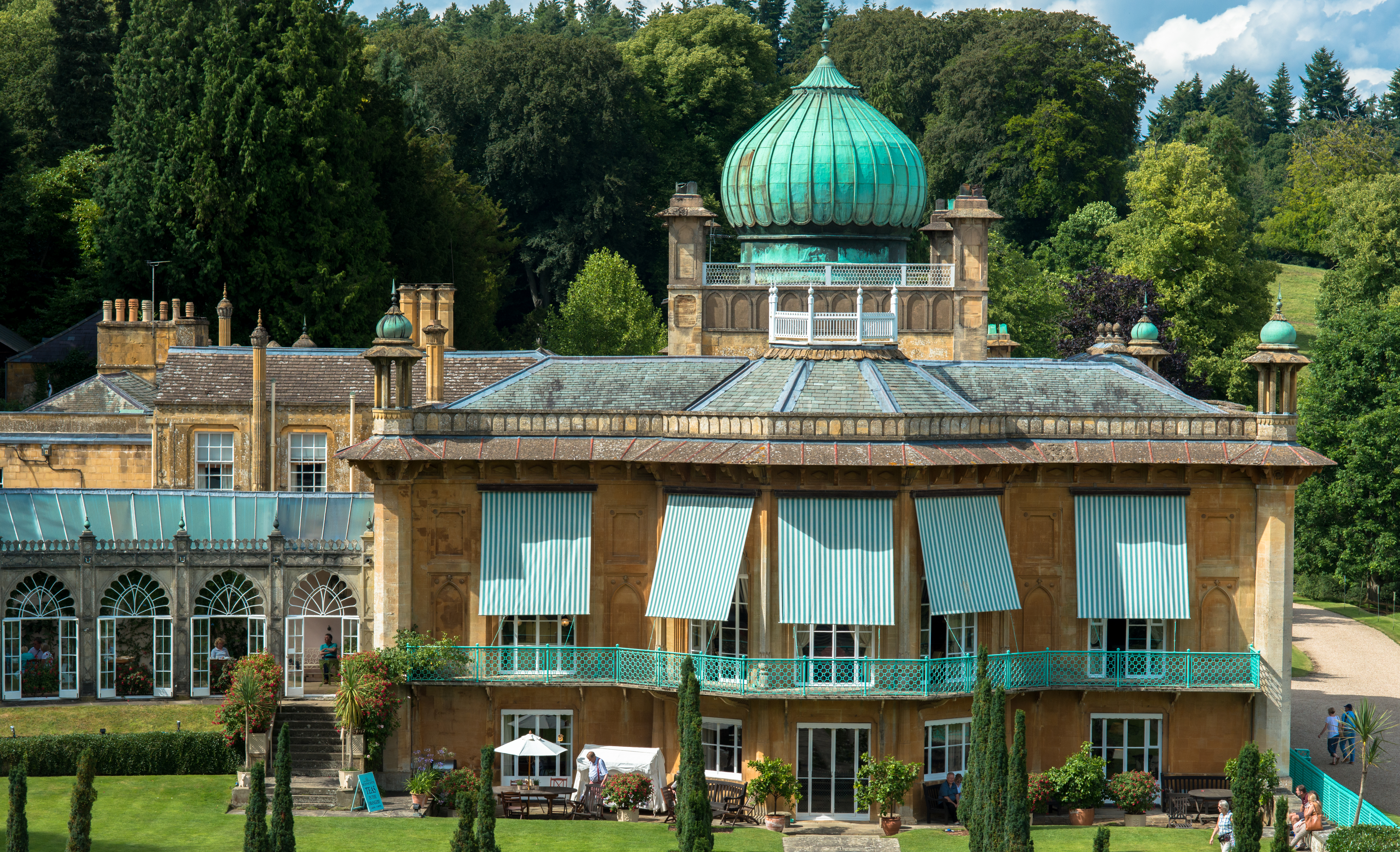
Sezincote (settlement)

Sezincote or Seasoncote is a settlement and civil parish comprising Sezincote House and its estate, situated about 3 miles from Stow-on-the-Wold in the...

Sezincote House

Sezincote House (pronounced seas in coat) is the centre of a country estate in the civil parish of Sezincote, in the county of Gloucestershire, England...

St James' Church, Longborough

St James' Church is the Church of England parish church of Longborough, Gloucestershire, England. It is in the deanery of Stow, the archdeaconry of Cheltenham...

Related Videos

Condicote, ENGLAND - Small English Village, Early Morning Walk

Condicote is a small village located in the Cotswold district of Gloucestershire, England. It has a rich history dating back many ...

Nearby Amenities

Located within 500m of 51.959279,-1.78752
Power: pole
Lat/Long: 51.9620939/-1.791199
Power: pole
Lat/Long: 51.9629422/-1.7904058
Power: pole
Lat/Long: 51.9599967/-1.7842567
Power: pole
Lat/Long: 51.9586683/-1.783213
Power: pole
Lat/Long: 51.9579324/-1.782633
Power: pole
Lat/Long: 51.9571996/-1.7820614
Power: pole
Lat/Long: 51.9606966/-1.7848002
Power: pole
Lat/Long: 51.9613531/-1.7852848
Power: pole
Lat/Long: 51.9618674/-1.7857184
Power: pole
Lat/Long: 51.9634586/-1.7862265
Power: pole
Lat/Long: 51.9575776/-1.7823601
Power: pole
Lat/Long: 51.961049/-1.792822
Alders Barn
Power: pole
Transformer: distribution
Voltage Primary: 11000
Lat/Long: 51.9601172/-1.7942812
Location Transition: yes
Power: pole
Lat/Long: 51.9605494/-1.7936052
Power: pole
Lat/Long: 51.9615576/-1.7920201
Old Hinchwick
Power: pole
Transformer: distribution
Voltage Primary: 11000
Lat/Long: 51.9632525/-1.7867884
Power: pole
Lat/Long: 51.9625956/-1.7862694
Power: pole
Lat/Long: 51.957295/-1.7813328
The data included in this document is from www.openstreetmap.org. The data is made available under ODbL.

Have you been to Condicote?

Leave your review of Condicote below (or comments, questions and feedback).