Skew Covert

Wood, Forest in Gloucestershire Cotswold

England

Skew Covert

Crop field next to A424 near Sezincote House
Crop field next to A424 near Sezincote House Credit: David Gearing

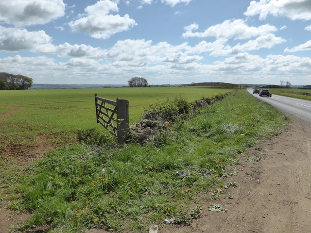
Skew Covert is a small village located in the district of Gloucestershire, England. Situated within the enchanting Forest of Dean, the village is known for its picturesque surroundings and tranquil atmosphere. Nestled amidst dense woodlands and rolling hills, it offers residents and visitors a chance to escape the hustle and bustle of city life.

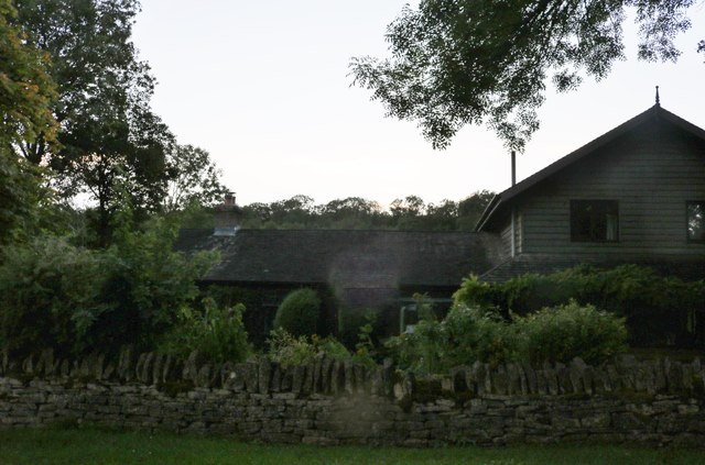
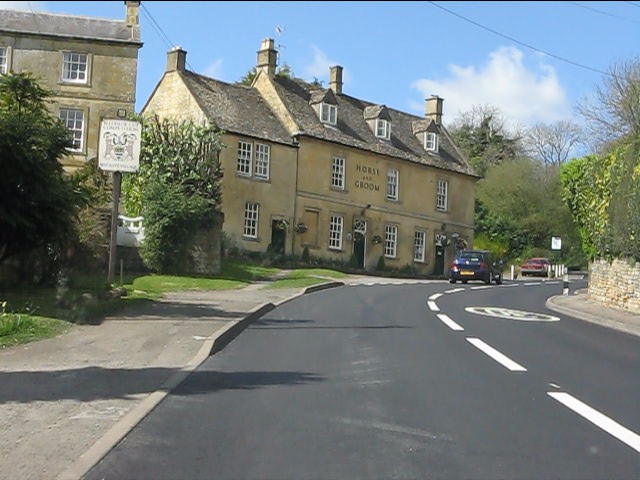
The village is characterized by its charming cottages made of local stone, which add to its rustic appeal. Skew Covert is renowned for its natural beauty, with the forest providing a stunning backdrop for outdoor activities such as hiking, cycling, and wildlife spotting. The area is home to an array of bird species, making it a popular destination for birdwatching enthusiasts.

In addition to its natural wonders, Skew Covert boasts a close-knit community, with a small, but friendly population. The village has a few local amenities, including a cozy pub and a village hall that hosts various events throughout the year, fostering a sense of community spirit.

Skew Covert is also conveniently located near other attractions within the Forest of Dean, such as Clearwell Caves and Puzzlewood, a unique ancient woodland. The village is well-connected to neighboring towns, with good road links and public transportation options available.

Overall, Skew Covert, Gloucestershire, offers a peaceful retreat in the heart of nature, making it an ideal destination for nature lovers and those seeking a slower pace of life.

If you have any feedback on the listing, please let us know in the comments section below.

Skew Covert Images

Images are sourced within 2km of 51.96531/-1.7842798 or Grid Reference SP1429. Thanks to Geograph Open Source API. All images are credited.

Crop field next to A424 near Sezincote House
Modern memorial E of Hinchwick
Footpath running E towards Hans Brake, Hinchwick
Old Milestone by the A424, Longborough Stone post (plate lost) by the A424, in parish of Longborough (Cotswold District), 375m North of Cudds Farm, on the verge, on East side of road. Burford iron plate Erected by the Burford, Ch Norton, Banbury & Aynho turnpike trust in the 19th century. 

Inscription once read:-
(Evesham 13)
(Stow on the Wold 3)
Carved benchmark recorded.   

Milestone Society National ID: GL_SWEV03
Old Milestone by the A424, Longborough
Stone post (plate lost) by the A424, in parish of Longborough (Cotswold District), 375m North of Cudds Farm, on the verge, on East side of road. Burford iron plate Erected by the Burford, Ch Norton, Banbury & Aynho turnpike trust in the 19th century. Inscription once read:- (Evesham 13) (Stow on the Wold 3) Carved benchmark recorded. Milestone Society National ID: GL_SWEV03
Five Mile Drive, Sezincote
Lane in Sezincote Warren
Driveway to Sezincote Warren Farm
Field in Sezincote Warren
House in Sezincote Warren
Diamond Way Diamond Way nearing Pig Trough passing the path to the right to Crabs Corner
Diamond Way
Diamond Way nearing Pig Trough passing the path to the right to Crabs Corner
Diamond Way Diamond Way at Beechy Bank
Diamond Way
Diamond Way at Beechy Bank
Diamond Way Diamond Way heading to Bourton Downs
Diamond Way
Diamond Way heading to Bourton Downs
Approaching Condicote Green
South side of the Green at Condicote Condicote's special signature is the low stone wall surrounding its green.
South side of the Green at Condicote
Condicote's special signature is the low stone wall surrounding its green.
Pump and trees on the green, Condicote On these high wolds, remote from the river valleys, the pump must have been a vital facility for the village.
Pump and trees on the green, Condicote
On these high wolds, remote from the river valleys, the pump must have been a vital facility for the village.
The west end of Condicote Green Looking across from the south side to the rebuilt cross, bus shelter (former; the bus service appears to have been withdrawn) and Glebe Farmhouse behind.
The west end of Condicote Green
Looking across from the south side to the rebuilt cross, bus shelter (former; the bus service appears to have been withdrawn) and Glebe Farmhouse behind.
Condicote Green Looking east along the south side, from inside the wall.
Condicote Green
Looking east along the south side, from inside the wall.
Show me another place!

Skew Covert is located at Grid Ref: SP1429 (Lat: 51.96531, Lng: -1.7842798)

Administrative County: Gloucestershire

District: Cotswold

Police Authority: Gloucestershire

What 3 Words

///stupidly.tedious.wages. Near Donnington, Gloucestershire

Nearby Locations

Skew Covert Condicote

Related Wikis

Hinchwick

Hinchwick is a small village in Gloucestershire, England at grid reference SP145300. Hinchwick Manor was built by architect Charles Robert Cockerell in...

Condicote

Condicote is a small village in Gloucestershire, England. It is near the A424 road. It has a small church dedicated to St Nicholas. It has evidence of...

Bourton Down

Bourton Down (grid reference SP142313) is an 11.17-hectare (27.6-acre) biological Site of Special Scientific Interest near Bourton-on-the-Hill in Gloucestershire...

Ganborough

Ganborough is a hamlet located along the A424 road, approximately 2 miles NNW of Stow on the Wold. Ganborough is located in Gloucestershire, a county in...

Sezincote (settlement)

Sezincote or Seasoncote is a settlement and civil parish comprising Sezincote House and its estate, situated about 3 miles from Stow-on-the-Wold in the...

Sezincote House

Sezincote House (pronounced seas in coat) is the centre of a country estate in the civil parish of Sezincote, in the county of Gloucestershire, England...

Bourton-on-the-Hill

Bourton-on-the-Hill is a village and civil parish in the Cotswold district of Gloucestershire, England, and about 2 miles (3 km) west of Moreton-in-Marsh...

St James' Church, Longborough

St James' Church is the Church of England parish church of Longborough, Gloucestershire, England. It is in the deanery of Stow, the archdeaconry of Cheltenham...

Nearby Amenities

Located within 500m of 51.96531,-1.7842798
Power: pole
Lat/Long: 51.9697683/-1.7844677
Power: pole
Lat/Long: 51.9695305/-1.7856736
Power: pole
Lat/Long: 51.9692983/-1.7868777
Power: pole
Lat/Long: 51.9629422/-1.7904058
Power: pole
Lat/Long: 51.9638193/-1.7896129
Power: pole
Lat/Long: 51.9642776/-1.788339
Power: pole
Lat/Long: 51.9646708/-1.787185
Power: pole
Lat/Long: 51.9650579/-1.7861546
Power: pole
Lat/Long: 51.9658547/-1.7860972
Power: pole
Lat/Long: 51.9664273/-1.7868694
Power: pole
Lat/Long: 51.9669724/-1.7876366
Power: pole
Lat/Long: 51.9675535/-1.7884356
Power: pole
Lat/Long: 51.9682342/-1.7887
Power: pole
Lat/Long: 51.9613531/-1.7852848
Power: pole
Lat/Long: 51.9618674/-1.7857184
Power: pole
Lat/Long: 51.9642275/-1.7861952
Power: pole
Lat/Long: 51.9634586/-1.7862265
Power: pole
Lat/Long: 51.9690621/-1.7881013
Old Hinchwick
Power: pole
Transformer: distribution
Voltage Primary: 11000
Lat/Long: 51.9632525/-1.7867884
Power: pole
Lat/Long: 51.9625956/-1.7862694
The data included in this document is from www.openstreetmap.org. The data is made available under ODbL.

Have you been to Skew Covert?

Leave your review of Skew Covert below (or comments, questions and feedback).