Applehouse Hill
Settlement in Berkshire
England
Applehouse Hill

Applehouse Hill is a charming hamlet located in the county of Berkshire, England. Situated in the heart of the picturesque countryside, this idyllic settlement offers a peaceful and tranquil atmosphere for its residents and visitors alike.
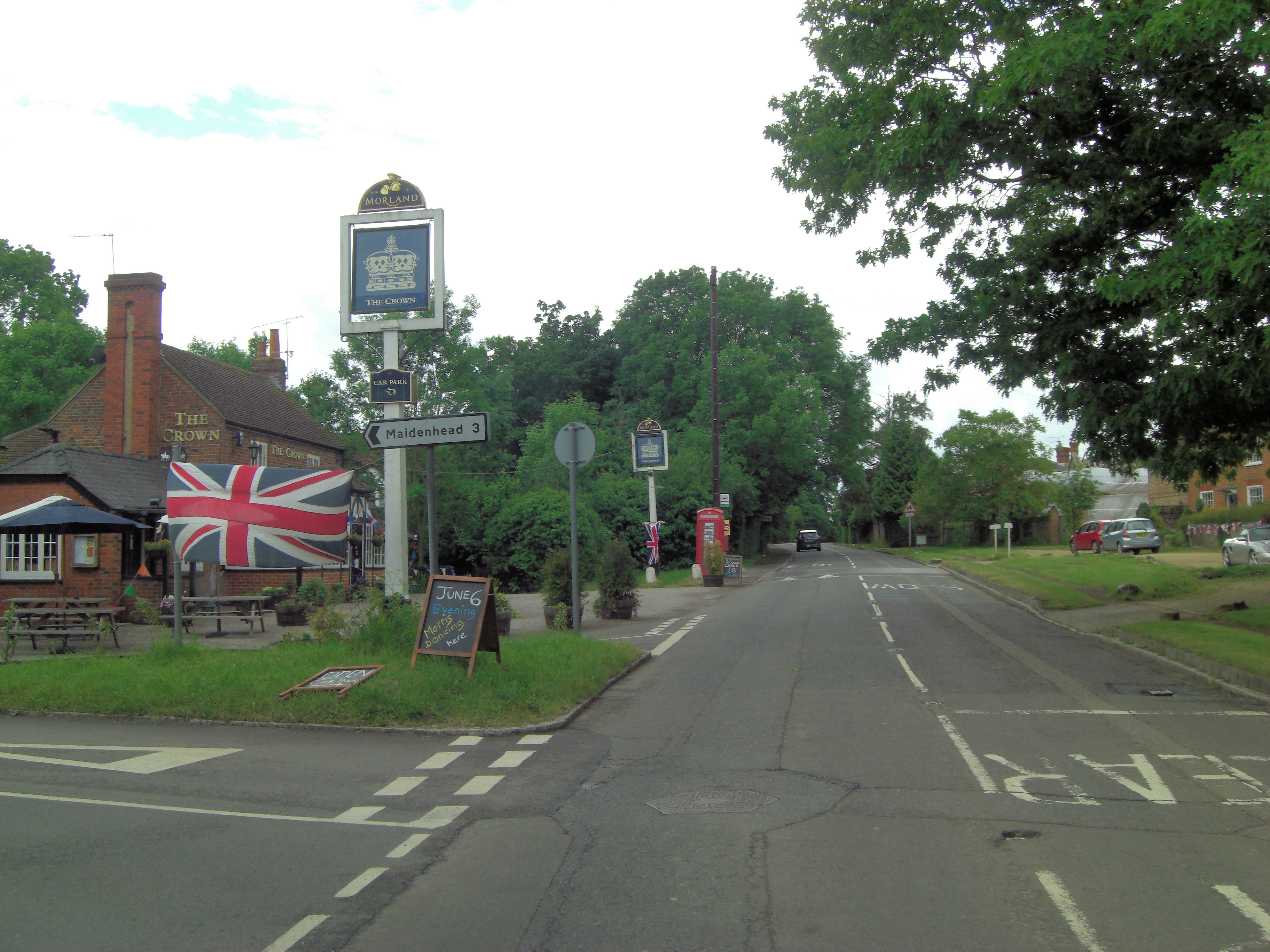
The hamlet derives its name from the abundance of apple orchards that surround the area, creating a delightful landscape during the blooming season. Applehouse Hill is characterized by its traditional English architecture, with a collection of quaint cottages and farmhouses dotting the countryside.
The community of Applehouse Hill is tight-knit and friendly, fostering a strong sense of community spirit. The residents often organize local events and gatherings, encouraging neighborly interactions and creating a warm and welcoming environment.
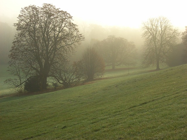
The surrounding natural beauty of Applehouse Hill makes it a popular destination for nature enthusiasts and outdoor activities. The rolling hills and meadows provide ample opportunities for hiking, cycling, and picnicking, allowing visitors to immerse themselves in the stunning Berkshire landscape.
Despite its rural location, Applehouse Hill benefits from its proximity to nearby towns and cities. The town of Newbury is just a short drive away, offering a range of amenities such as shops, restaurants, and schools. Additionally, the excellent transport links provide easy access to other parts of Berkshire and beyond.
In conclusion, Applehouse Hill is a picturesque and peaceful hamlet in Berkshire, offering a charming countryside escape with a strong sense of community and ample outdoor recreational opportunities.
If you have any feedback on the listing, please let us know in the comments section below.
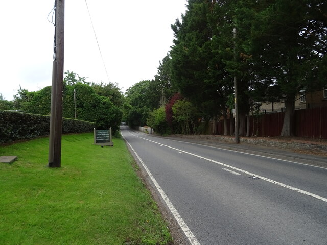
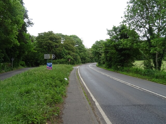
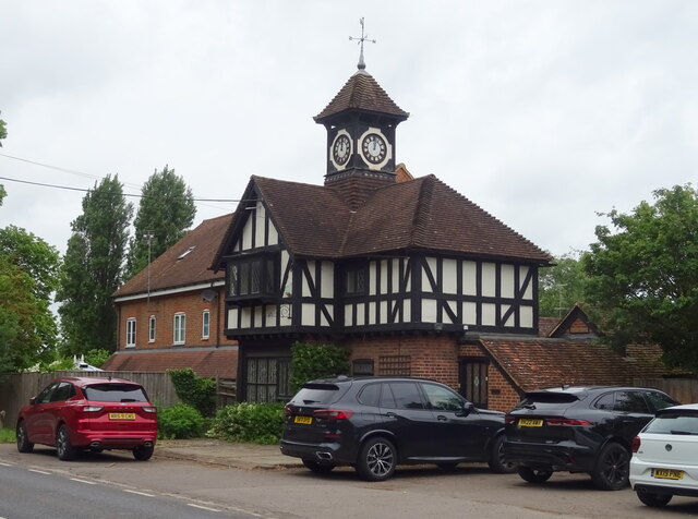
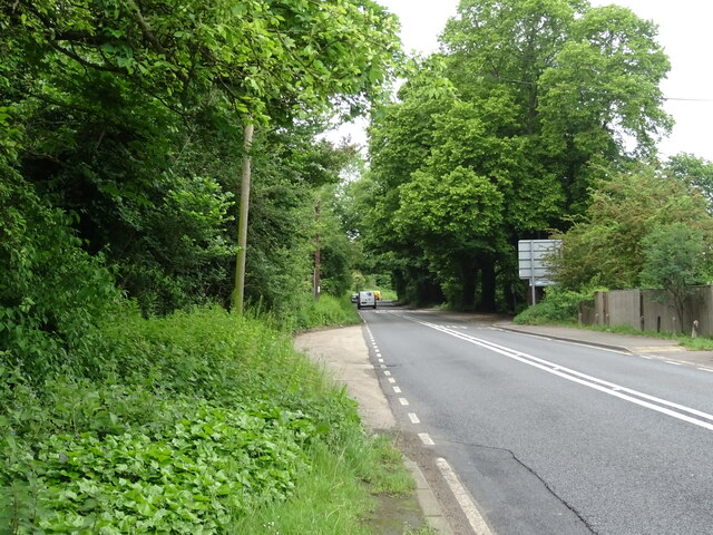
Applehouse Hill Images
Images are sourced within 2km of 51.531886/-0.791268 or Grid Reference SU8382. Thanks to Geograph Open Source API. All images are credited.


Applehouse Hill is located at Grid Ref: SU8382 (Lat: 51.531886, Lng: -0.791268)
Unitary Authority: Windsor and Maidenhead
Police Authority: Thames Valley
What 3 Words
///toothpick.making.flamenco. Near Hurley, Berkshire
Nearby Locations
Related Wikis
Temple Golf Club
Temple Golf Club is a golf club located in Hurley, Berkshire, England. It is about 2 miles northwest of Maidenhead. It was opened in 1910. The course was...
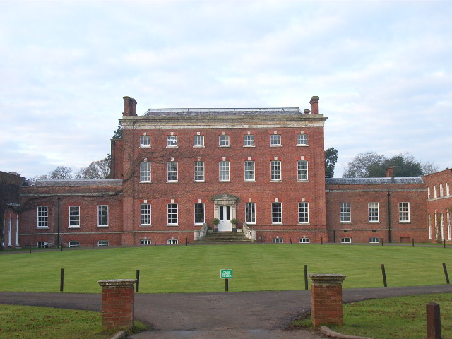
Berkshire College of Agriculture
Berkshire College of Agriculture is a further education agricultural college at Hall Place in Burchetts Green, Maidenhead, Berkshire. It was founded in...

Carpenter's Wood
Carpenter's Wood is a 21.4-hectare (53-acre) Local Nature Reserve west of Maidenhead in Berkshire. It is owned by the Royal Borough of Windsor and Maidenhead...
Burchetts Green
Burchetts Green is a small village to the west of Maidenhead in the English county of Berkshire. It is half in the civil parish of Hurley and half in the...
Stubbings
Stubbings is a hamlet in the civil parish of Bisham, west of Maidenhead, in the English county of Berkshire. Stubbings House mansion was very briefly the...

Hurley, Berkshire
Hurley is a village and rural civil parish in Berkshire, England. Its riverside is agricultural, except for Hurley Priory, as are the outskirts of the...

The Olde Bell, Hurley
The Olde Bell is a hotel and public house in Hurley, Berkshire, England, located on the bank of the River Thames. It is claimed to be the oldest hotel...

Bradnam Wood
Bradnam Wood is a 12.5-hectare (31-acre) Local Nature Reserve west of Maidenhead in Berkshire. It is owned by the Royal Borough of Windsor and Maidenhead...
Nearby Amenities
Located within 500m of 51.531886,-0.791268Have you been to Applehouse Hill?
Leave your review of Applehouse Hill below (or comments, questions and feedback).