Applehouse Hill
Hill, Mountain in Berkshire
England
Applehouse Hill

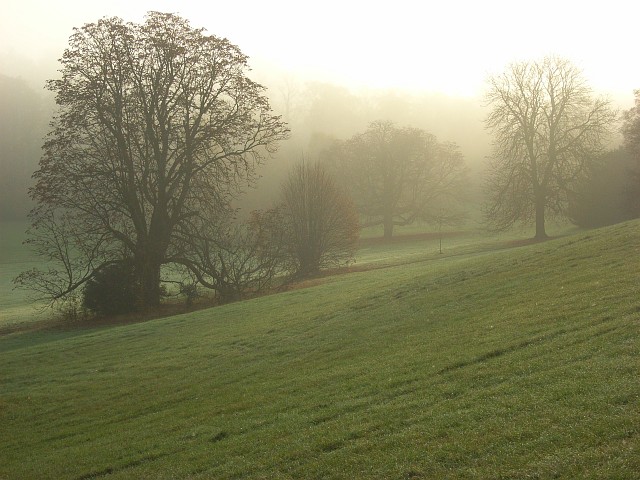
Applehouse Hill is a picturesque hill located in Berkshire, England. Situated in the southern part of the county, it forms part of the rolling Berkshire Downs, an area renowned for its natural beauty and historic significance. The hill is relatively modest in height, standing at approximately 230 meters (750 feet) above sea level, but offers stunning panoramic views of the surrounding countryside.
The name "Applehouse Hill" is derived from the presence of several ancient apple orchards that once dotted its slopes. These orchards, which have long been cultivated by local farmers, add to the charm and character of the area. In the spring, the hill is adorned with delicate blossoms, creating a picturesque scene that attracts visitors and photographers alike.
The hill is a popular destination for outdoor enthusiasts, offering a range of activities such as hiking, walking, and picnicking. Several well-maintained trails crisscross the hill, providing opportunities to explore the diverse flora and fauna that call this area home. Wildlife enthusiasts may spot various species of birds, butterflies, and small mammals during their visit.
Applehouse Hill is also steeped in history, with archaeological evidence suggesting human habitation in the area dating back thousands of years. The hill is believed to have been an important vantage point during ancient times, providing strategic advantages for early settlers and later, during the Roman era, for military purposes.
Overall, Applehouse Hill offers visitors a chance to immerse themselves in the natural beauty and rich history of Berkshire. With its breathtaking views, tranquil orchards, and recreational opportunities, it is a must-visit destination for those seeking an escape to the countryside.
If you have any feedback on the listing, please let us know in the comments section below.
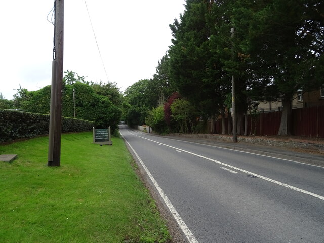
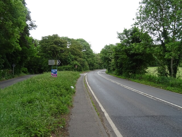
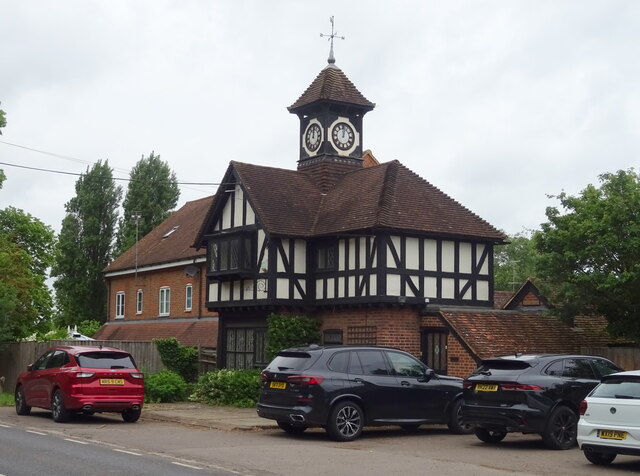
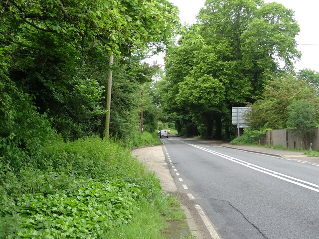
Applehouse Hill Images
Images are sourced within 2km of 51.532722/-0.79753963 or Grid Reference SU8382. Thanks to Geograph Open Source API. All images are credited.


Applehouse Hill is located at Grid Ref: SU8382 (Lat: 51.532722, Lng: -0.79753963)
Unitary Authority: Windsor and Maidenhead
Police Authority: Thames Valley
What 3 Words
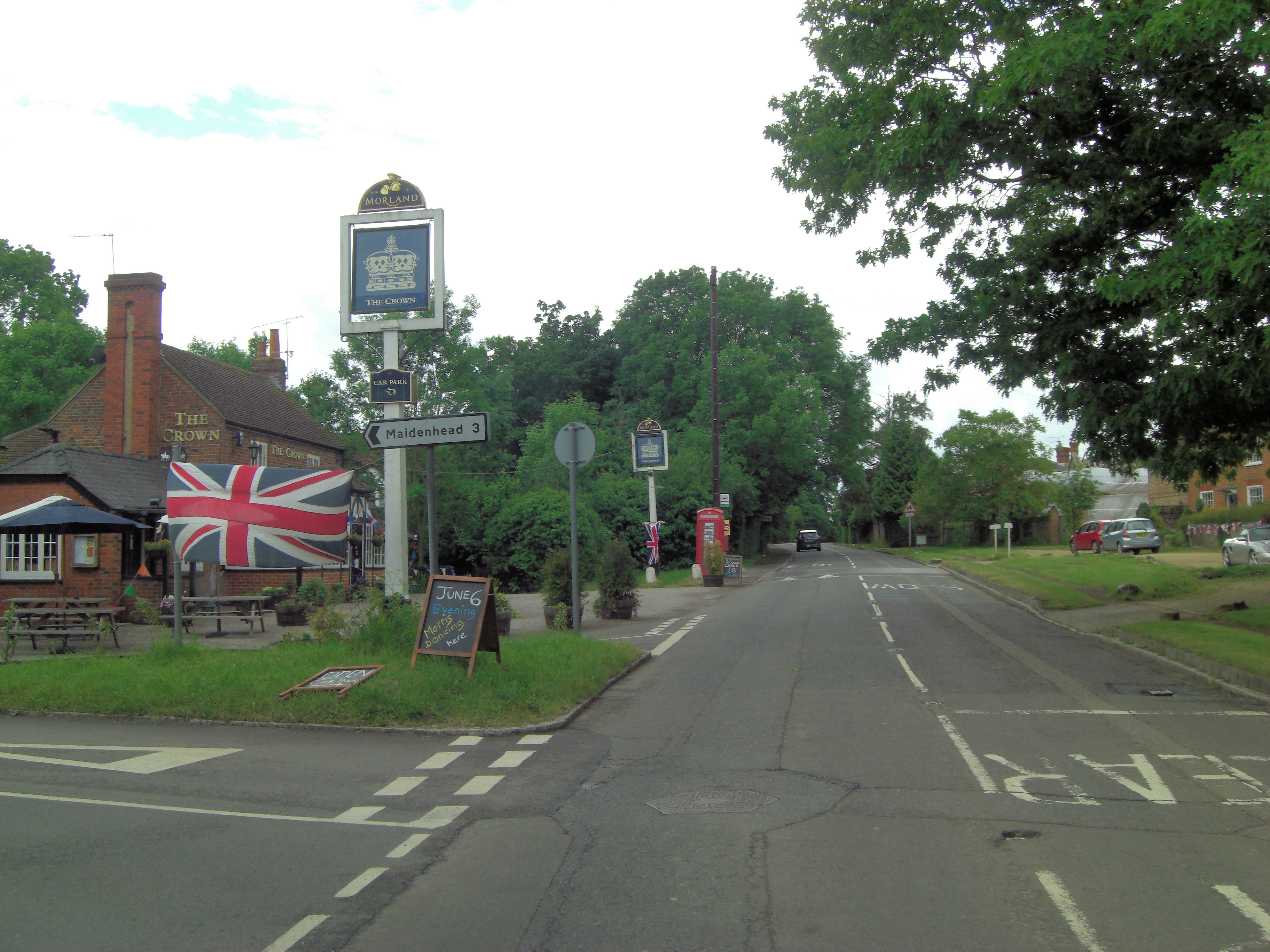
///mistress.shows.promoting. Near Hurley, Berkshire
Nearby Locations
Related Wikis
Berkshire College of Agriculture
Berkshire College of Agriculture is a further education agricultural college at Hall Place in Burchetts Green, Maidenhead, Berkshire. It was founded in...
Temple Golf Club
Temple Golf Club is a golf club located in Hurley, Berkshire, England. It is about 2 miles northwest of Maidenhead. It was opened in 1910. The course was...

Carpenter's Wood
Carpenter's Wood is a 21.4-hectare (53-acre) Local Nature Reserve west of Maidenhead in Berkshire. It is owned by the Royal Borough of Windsor and Maidenhead...
Burchetts Green
Burchetts Green is a small village to the west of Maidenhead in the English county of Berkshire. It is half in the civil parish of Hurley and half in the...

Hurley, Berkshire
Hurley is a village and rural civil parish in Berkshire, England. Its riverside is agricultural, except for Hurley Priory, as are the outskirts of the...
Stubbings
Stubbings is a hamlet in the civil parish of Bisham, west of Maidenhead, in the English county of Berkshire. Stubbings House mansion was very briefly the...

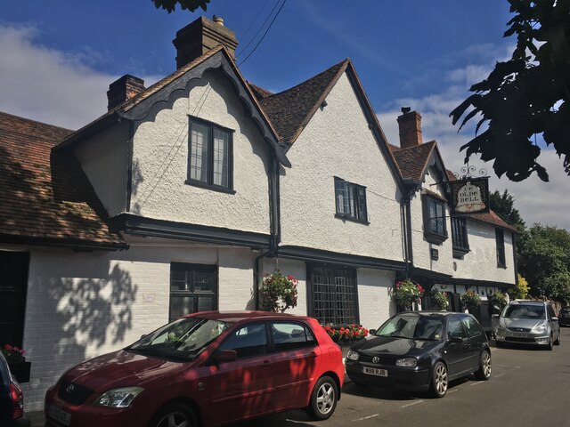
The Olde Bell, Hurley
The Olde Bell is a hotel and public house in Hurley, Berkshire, England, located on the bank of the River Thames. It is claimed to be the oldest hotel...

Hurley Priory
Hurley Priory is a former Benedictine priory in the village of Hurley. Founded in 1086, the remains are located on the banks of the River Thames in the...
Nearby Amenities
Located within 500m of 51.532722,-0.79753963Have you been to Applehouse Hill?
Leave your review of Applehouse Hill below (or comments, questions and feedback).