Applegarthtown

Settlement in Dumfriesshire

Scotland

Applegarthtown

Tam's Knowe
Tam's Knowe Credit: N Chadwick

Applegarthtown is a small village located in Dumfriesshire, Scotland. Situated in the southern region of the country, it lies approximately 15 miles north of the town of Dumfries. The village is nestled in the picturesque countryside, surrounded by rolling hills and lush green fields.

Applegarthtown is known for its tranquility and charm, with a population of around 200 residents. The village offers a peaceful and idyllic lifestyle, away from the hustle and bustle of larger towns and cities. Its rural setting makes it an ideal place for those seeking a close connection with nature and a slower pace of life.

The village itself has a rich history, with evidence of human settlement dating back centuries. It is home to several historic landmarks, including the Applegarthtown Tower, a 16th-century fortified house that stands as a testament to the area's past.

Despite its small size, Applegarthtown has a strong community spirit, with various social activities and events organized throughout the year. The village boasts a local pub, providing a gathering place for residents and visitors alike. Additionally, the nearby town of Dumfries offers a range of amenities, including shops, schools, and healthcare facilities.

For outdoor enthusiasts, Applegarthtown offers ample opportunities for walking, cycling, and exploring the surrounding countryside. The nearby Southern Upland Way, a long-distance hiking trail, passes close to the village, attracting outdoor enthusiasts from far and wide.

In summary, Applegarthtown is a charming village in Dumfriesshire, Scotland, offering a peaceful and rural lifestyle. With its rich history, strong community spirit, and beautiful natural surroundings, it is a hidden gem for those seeking a close connection with nature and a tight-knit community.

If you have any feedback on the listing, please let us know in the comments section below.

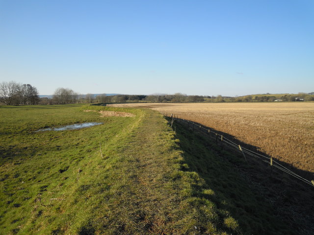
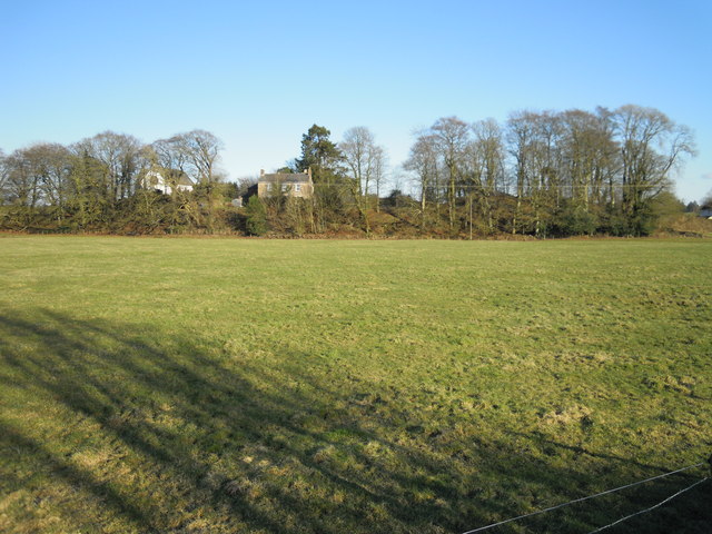
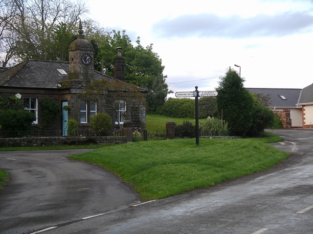
Applegarthtown Images

Images are sourced within 2km of 55.142142/-3.4134846 or Grid Reference NY1084. Thanks to Geograph Open Source API. All images are credited.

Tam's Knowe
Tam's Knowe
The bridge at Millhousebridge View from the north, upstream side of the bridge down at river level. Water level was low after a cold dry spell in late february.
The bridge at Millhousebridge
View from the north, upstream side of the bridge down at river level. Water level was low after a cold dry spell in late february.
River Annan levee at Applegarthtown Flowing from north to south through Annandale, the River Annan is a spate river liable to flooding in its lower reaches. Farmland here is being protected by this earth wall, which is also used as a bridleway.
River Annan levee at Applegarthtown
Flowing from north to south through Annandale, the River Annan is a spate river liable to flooding in its lower reaches. Farmland here is being protected by this earth wall, which is also used as a bridleway.
Millhousebridge showing old foundations This view appears to show the base and infill of an older bridge behind the more modern construction.
Millhousebridge showing old foundations
This view appears to show the base and infill of an older bridge behind the more modern construction.
Applegarthtown from the River Annan A fine example of an ancient settlement built above the river's immediate floodplain.
Applegarthtown from the River Annan
A fine example of an ancient settlement built above the river's immediate floodplain.
Gate on bridleway to Fishbeck New metal gate and sign on pathway on top of a levee which prevents flooding from the River Annan at Applegarthtown.
Gate on bridleway to Fishbeck
New metal gate and sign on pathway on top of a levee which prevents flooding from the River Annan at Applegarthtown.
Country road at Millhousebridge
Meadow above Millhousebridge Annanhill Farm can be seen on the far side of the river.
Meadow above Millhousebridge
Annanhill Farm can be seen on the far side of the river.
Rangebankfoot Bungalows near Millhousebridge.
Rangebankfoot
Bungalows near Millhousebridge.
Fingerpost at Millhousebridge
The Watchers Taken by the River Annan at dusk. As the light faded, the faces seemed to take on a faintly menacing air....
The Watchers
Taken by the River Annan at dusk. As the light faded, the faces seemed to take on a faintly menacing air....
The River Annan at Halleaths, Christmas Day 2005 Taken at 11.35am, looking north east. A cold and frosty, crisp and even morning.
The River Annan at Halleaths, Christmas Day 2005
Taken at 11.35am, looking north east. A cold and frosty, crisp and even morning.
Reflections, River Annan, Christmas Day 2005 Taken at 11.40am, looking NE, the sun just beginning to melt the frost. High pressure meant a very still, cold, clear day, perfect conditions for a pre- Christmas dinner walk.
Reflections, River Annan, Christmas Day 2005
Taken at 11.40am, looking NE, the sun just beginning to melt the frost. High pressure meant a very still, cold, clear day, perfect conditions for a pre- Christmas dinner walk.
River Annan, frozen, Christmas Day 2005 Taken at 11.50am, looking ESE. This part of the river will eventually become an ox-bow lake. The main flow of the river is left to right beyond the islands in the centre middle & right of the picture. The pool created here was frozen over. The distant hill is Burnswark Hill, on top of which is an Iron-age fort, and Roman remains. See also <a href="https://www.geograph.org.uk/photo/19873">NY1878 : Burnswark Hill</a>.
River Annan, frozen, Christmas Day 2005
Taken at 11.50am, looking ESE. This part of the river will eventually become an ox-bow lake. The main flow of the river is left to right beyond the islands in the centre middle & right of the picture. The pool created here was frozen over. The distant hill is Burnswark Hill, on top of which is an Iron-age fort, and Roman remains. See also NY1878 : Burnswark Hill.
Ponies by the river Annan Grazing between the river & the levee, on a cold & frosty Christmas morning. The river Annan is prone to flooding along this stretch. The valley is wide and flat here. Burnswark Hill in the distance.
Ponies by the river Annan
Grazing between the river & the levee, on a cold & frosty Christmas morning. The river Annan is prone to flooding along this stretch. The valley is wide and flat here. Burnswark Hill in the distance.
River Annan near Halleaths Looking SE across Annandale to Burnswark Hill.
River Annan near Halleaths
Looking SE across Annandale to Burnswark Hill.
River Annan reflections This area of the Annan is known as The Creels. The river has formed a wide pool here, which will eventually become an ox-bow lake. The 1940s map does not show the pool, just a hairpin bend in the river.
River Annan reflections
This area of the Annan is known as The Creels. The river has formed a wide pool here, which will eventually become an ox-bow lake. The 1940s map does not show the pool, just a hairpin bend in the river.
Swans, River Annan Out for an evening sail.
Swans, River Annan
Out for an evening sail.
Show me another place!

Applegarthtown is located at Grid Ref: NY1084 (Lat: 55.142142, Lng: -3.4134846)

Unitary Authority: Dumfries and Galloway

Police Authority: Dumfries and Galloway

What 3 Words

///easygoing.contrived.scanner. Near Lochmaben, Dumfries & Galloway

Nearby Locations

Albie Hill Applegarthtown

Related Wikis

Applegarthtown

Applegarthtown, also known as Applegarth or Applegirth, is a village near Lockerbie in Annandale, Dumfries and Galloway, Scotland. Applegarth's Town is...
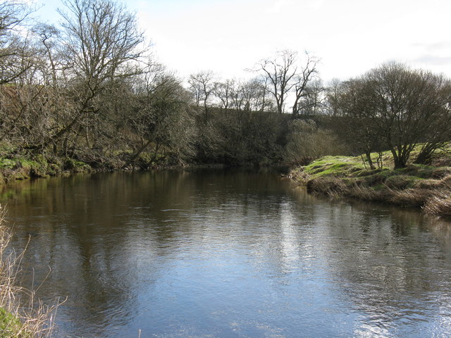
Kinnel Water

The Kinnel Water is a river in the Scottish council area of Dumfries and Galloway, in the shire of Dumfriesshire. == History == The Kinnel Water rises...

Millhousebridge

Millhousebridge (Scottish Gaelic: Drochaid a' Mhuilinn) is a village in Dumfries and Galloway, Scotland. == References ==

Lochmaben F.C.

Lochmaben Football Club is a Scottish football based in Lochmaben, Dumfries and Galloway. The club took on its current name after a merger with Crichton...

Lochmaben railway station

Lochmaben railway station was a station which served Lochmaben, in the Scottish county of Dumfries and Galloway. It was served by trains on a local line...

Battle of Lochmaben Fair

The Battle of Lochmaben Fair was an engagement in Lochmaben, Scotland, on 22 July 1484 between Scottish loyalists to James III of Scotland and the rebels...

Steven's Croft power station

Steven's Croft is a wood-fired power station near Lockerbie in Scotland. It started energy production in 2008. It is operated by E.ON and produces 44 MW...
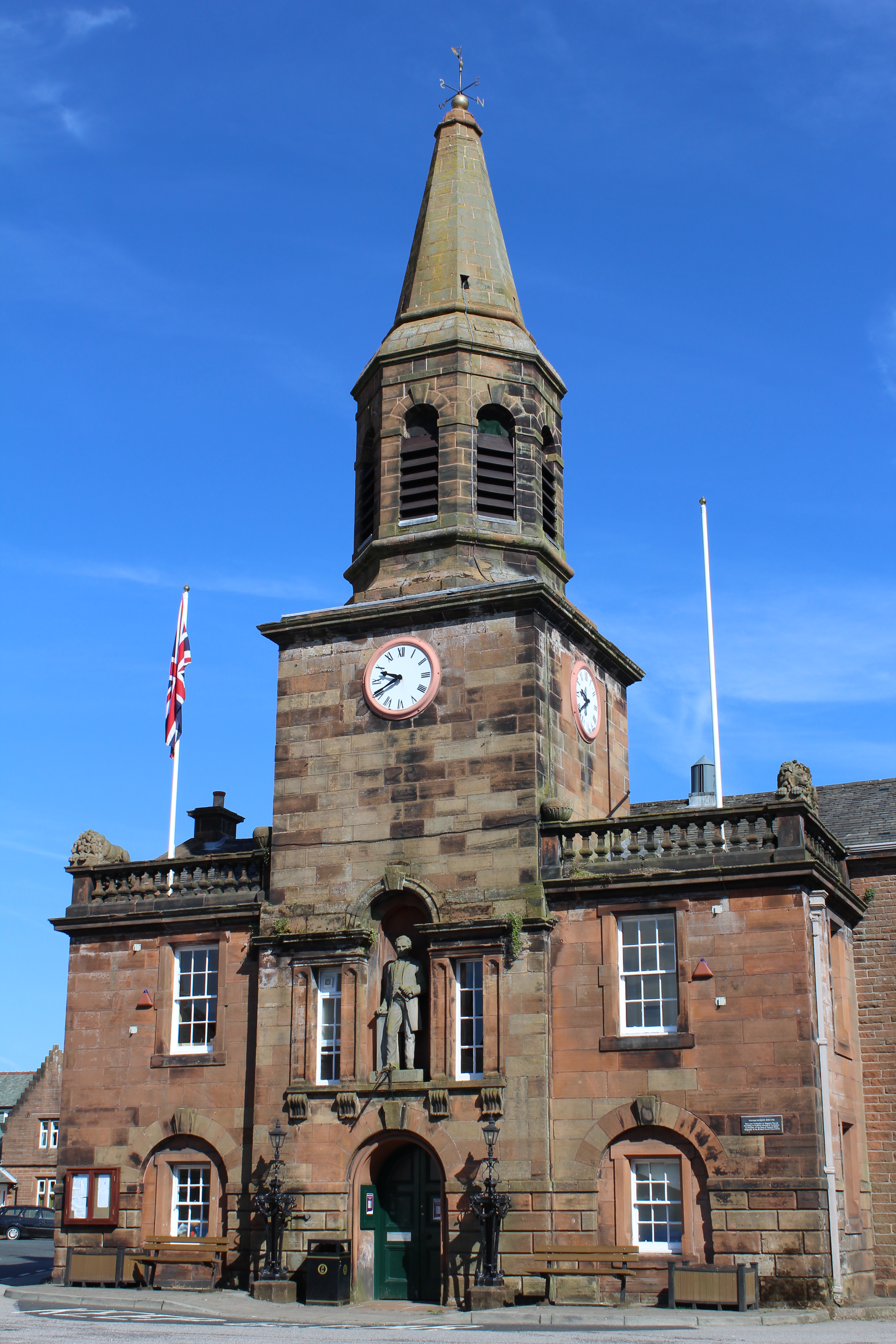
Lochmaben Town Hall

Lochmaben Town Hall is a municipal building in the High Street in Lochmaben, Dumfries and Galloway, Scotland. The structure, which accommodates a library...

Nearby Amenities

Located within 500m of 55.142142,-3.4134846
Power: pole
Lat/Long: 55.1399154/-3.4067783
Power: pole
Lat/Long: 55.1408356/-3.4070488
Power: pole
Lat/Long: 55.1415629/-3.4073038
Power: pole
Lat/Long: 55.1423918/-3.4075665
Power: pole
Lat/Long: 55.1430043/-3.407752
Power: pole
Lat/Long: 55.143761/-3.4079916
Power: pole
Lat/Long: 55.1447621/-3.4082775
Power: pole
Lat/Long: 55.1455379/-3.4085093
Power: pole
Lat/Long: 55.138496/-3.4162939
Power: pole
Lat/Long: 55.1390261/-3.4161135
The data included in this document is from www.openstreetmap.org. The data is made available under ODbL.

Have you been to Applegarthtown?

Leave your review of Applegarthtown below (or comments, questions and feedback).