Appleford
Settlement in Berkshire Vale of White Horse
England
Appleford
Appleford is a small village located in the county of Berkshire, England. Situated along the banks of the River Thames, it is known for its picturesque surroundings and tranquil atmosphere. The village is part of the district of South Oxfordshire and lies approximately 4 miles south of the historic town of Abingdon.
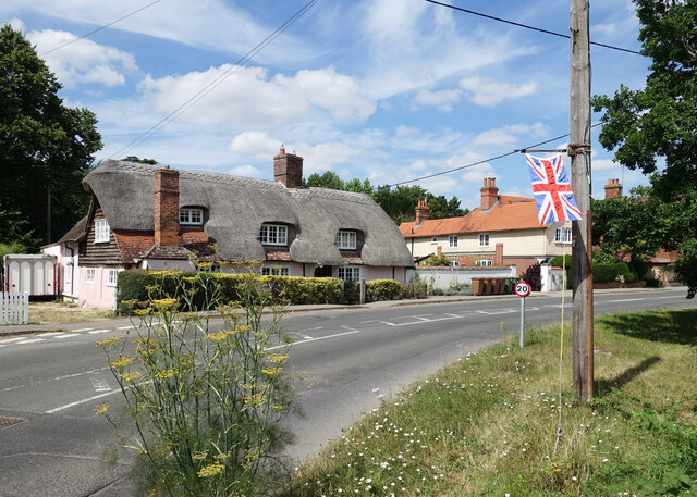
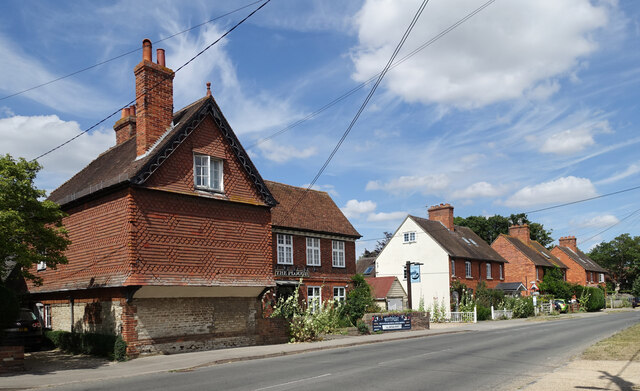
The village is primarily residential, with a population of around 500 residents. It is characterized by traditional English cottages and houses, many of which date back several centuries. Appleford maintains a strong sense of community, with a village hall serving as a hub for various social activities and events.
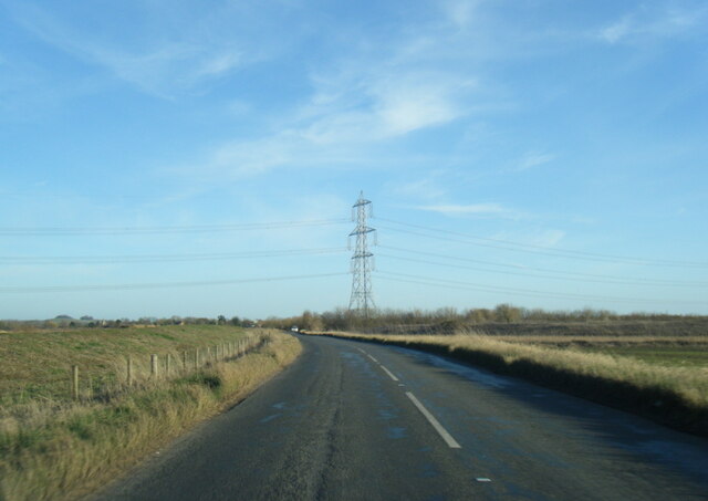
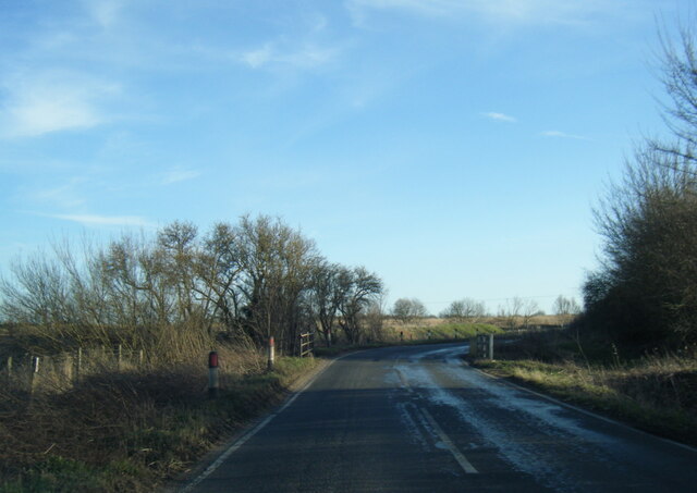
The proximity to the River Thames offers residents and visitors opportunities for recreational activities such as boating, fishing, and riverside walks. The village is also surrounded by beautiful countryside, providing ample opportunities for hiking and exploring the natural landscape.
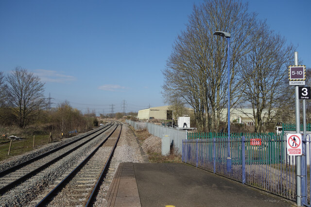
Despite its small size, Appleford benefits from excellent transport links. The village has its own railway station, providing regular services to Oxford, Reading, and London. Additionally, the nearby A34 road offers convenient access to other major towns and cities in the region.
Amenities in Appleford include a local pub, a primary school, and a village shop catering to the basic needs of the residents. For more extensive amenities, the nearby town of Abingdon offers a wider range of shops, supermarkets, and leisure facilities.
Overall, Appleford offers a peaceful and idyllic setting for those seeking a rural lifestyle while still having access to nearby towns and cities.
If you have any feedback on the listing, please let us know in the comments section below.
Appleford Images
Images are sourced within 2km of 51.638833/-1.240277 or Grid Reference SU5293. Thanks to Geograph Open Source API. All images are credited.


Appleford is located at Grid Ref: SU5293 (Lat: 51.638833, Lng: -1.240277)
Administrative County: Oxfordshire
District: Vale of White Horse
Police Authority: Thames Valley
What 3 Words
///revealing.horizons.cools. Near Sutton Courtenay, Oxfordshire
Nearby Locations
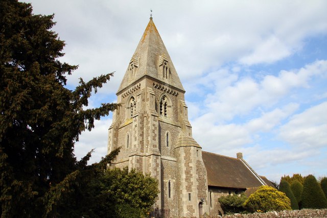
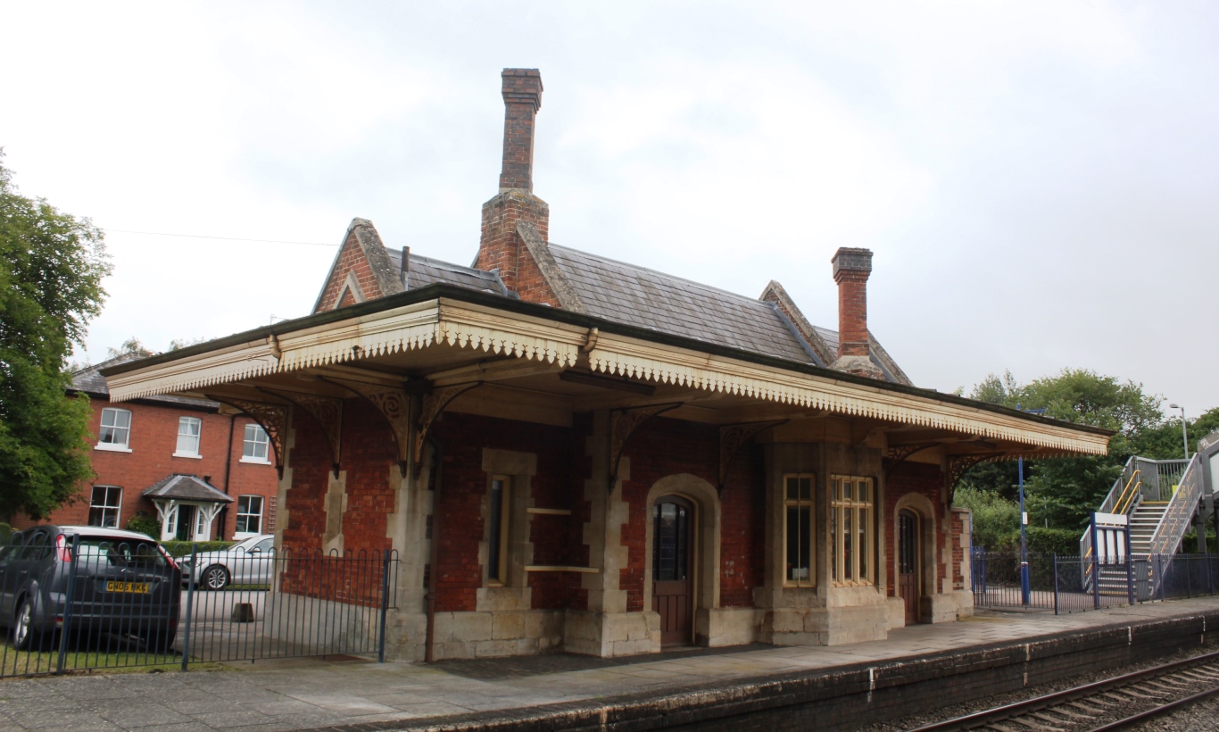
Related Wikis
Appleford-on-Thames
Appleford-on-Thames is a village and civil parish on the south bank of the River Thames about 2 miles (3 km) north of Didcot, in the Vale of White Horse...

Appleford railway station
Appleford railway station serves the village of Appleford-on-Thames in Oxfordshire, England, as well as nearby settlements such as Sutton Courtenay. It...

Appleford Railway Bridge
Appleford Railway Bridge carries the Cherwell Valley Line from Didcot to Oxford across the River Thames near the village of Appleford-on-Thames, Oxfordshire...
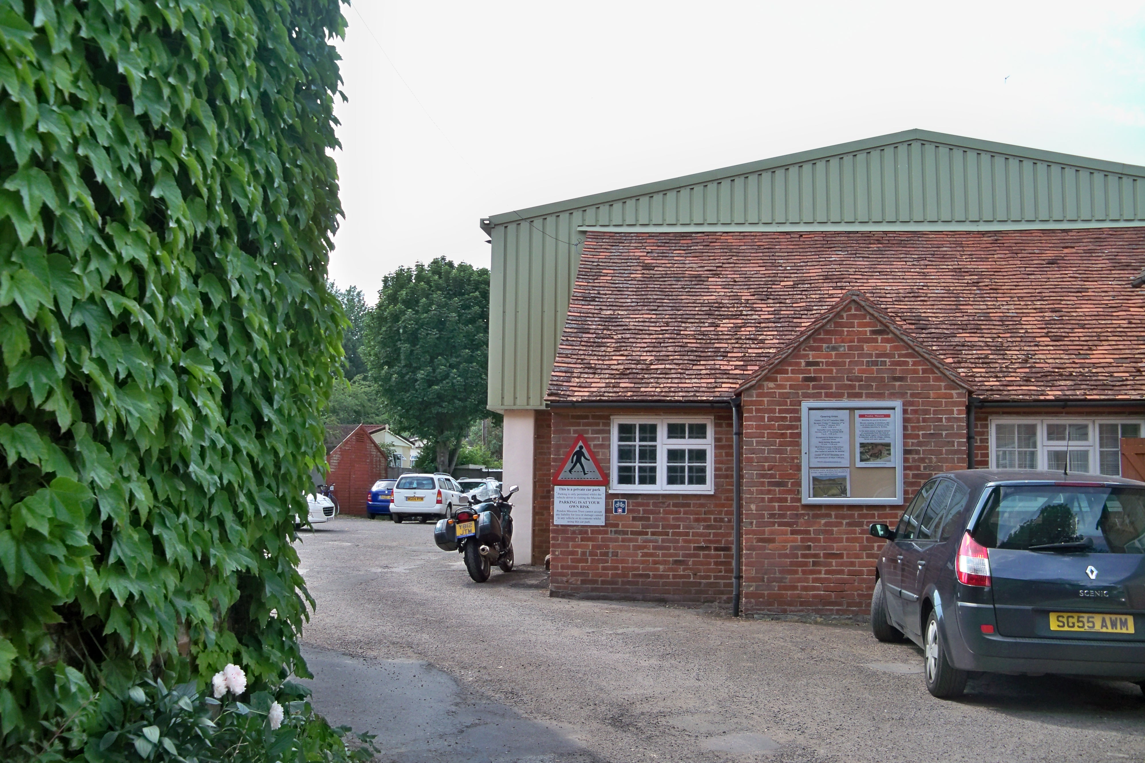
Pendon Museum
Pendon Museum, located in Long Wittenham near Didcot, Oxfordshire, England, is a museum that displays scale models, in particular a large scene representing...
Culham railway station
Culham railway station serves the village of Culham in Oxfordshire, England. It is on the Cherwell Valley Line between Didcot Parkway and Banbury, 56 miles...

East Hendred Brook
The East Hendred Brook is a small tributary of the River Thames which starts on the springline at the base of the Berkshire Downs, and joins the Thames...

Long Wittenham
Long Wittenham is a village and small civil parish about 3 miles (5 km) north of Didcot, and 3.5 miles (5.6 km) southeast of Abingdon. It was part of Berkshire...

Sutton Bridge, Oxfordshire
Sutton Bridge is a road bridge across the River Thames near the village of Sutton Courtenay, Oxfordshire, England. It is a stone structure built in 1807...
Nearby Amenities
Located within 500m of 51.638833,-1.240277Have you been to Appleford?
Leave your review of Appleford below (or comments, questions and feedback).