Appledore Heath
Settlement in Kent Ashford
England
Appledore Heath
Appledore Heath is a small village located in the county of Kent, England. Situated approximately 7 miles south of Ashford and 13 miles northeast of the historic town of Rye, it is surrounded by picturesque countryside and offers a tranquil setting for residents and visitors alike.
The village is known for its charming rural atmosphere and its close-knit community. The houses in Appledore Heath are a mix of traditional cottages and modern properties, blending seamlessly with the surrounding natural beauty. The village has a population of around 500 people, creating a tight-knit and friendly atmosphere.
Nature enthusiasts are drawn to Appledore Heath for its scenic walks and abundant wildlife. The nearby Romney Marshes provide ample opportunities for birdwatching, with a variety of species making their home in the area. The village is also located close to the Royal Military Canal, a historic waterway that offers peaceful walks and picturesque views.
Despite its rural location, Appledore Heath benefits from easy access to nearby amenities. The village has a local shop and a pub, providing essentials and a social hub for residents. For a wider range of amenities, the town of Ashford is just a short drive away, offering supermarkets, restaurants, and leisure facilities.
Overall, Appledore Heath is a charming village that offers a peaceful and picturesque lifestyle in the heart of the Kent countryside. Its close proximity to Ashford and other nearby towns ensures that residents have access to all the necessary amenities, while still being able to enjoy the tranquility of rural living.
If you have any feedback on the listing, please let us know in the comments section below.
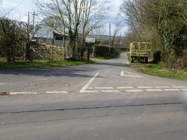
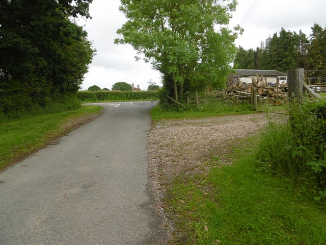
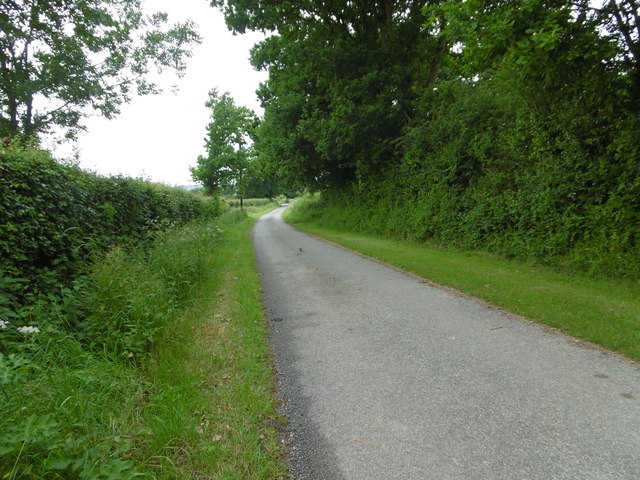
Appledore Heath Images
Images are sourced within 2km of 51.041841/0.784858 or Grid Reference TQ9530. Thanks to Geograph Open Source API. All images are credited.


Appledore Heath is located at Grid Ref: TQ9530 (Lat: 51.041841, Lng: 0.784858)
Administrative County: Kent
District: Ashford
Police Authority: Kent
What 3 Words
///persuade.native.goodbyes. Near Woodchurch, Kent
Nearby Locations
Related Wikis
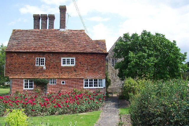
Horne's Place Chapel
Horne's Place Chapel, is a late mediaeval timber-framed house with private chapel in Appledore, Kent England. It is designated by English Heritage as a...

Appledore, Kent
Appledore is a village and civil parish in the Ashford District of Kent, England. The village centre is on the northern edge of the Romney Marsh, 12 miles...

Appledore railway station
Appledore railway station is a Grade II listed station east of Appledore in Kent, England. It is on the Marshlink line, and train services are provided...

Royal Military Canal Path
The Royal Military Canal Path is a long-distance path in England, mainly following the Royal Military Canal. Its end points are Seabrook, Kent (51.0720...
Reading Street, Ashford
Reading Street is a hamlet approximately 3 miles (4.8 km) south east of Tenterden in Kent, England. It is situated on the B2080 road between Tenterden...
Stone-cum-Ebony
Stone-cum-Ebony is a large mostly rural and marshland civil parish centred 7 miles (11 km) SSW of Ashford in Kent, South East England. It includes the...
Stone in Oxney
Stone in Oxney is a village south of Ashford in Kent, South East England, in the civil parish of Stone-cum-Ebony near Appledore. The village is 11 miles...
Ebony, Kent
Ebony is a hamlet south of Ashford in Kent, South East England, in the civil parish of Stone-cum-Ebony, on the Isle of Oxney in the Ashford district of...
Nearby Amenities
Located within 500m of 51.041841,0.784858Have you been to Appledore Heath?
Leave your review of Appledore Heath below (or comments, questions and feedback).