Albie Hill
Hill, Mountain in Dumfriesshire
Scotland
Albie Hill

Albie Hill is a prominent landmark located in Dumfriesshire, Scotland. Situated near the town of Dumfries, this hill is part of the Southern Uplands, which are known for their rolling hills and stunning landscapes. Albie Hill stands at an elevation of approximately 397 meters (1,302 feet) and offers breathtaking views of the surrounding countryside.
The hill is primarily composed of sedimentary rocks, such as sandstone and shale, which have been shaped over millions of years by natural forces. Its slopes are covered in lush green vegetation, including grasses, heather, and scattered trees. During the spring and summer months, wildflowers bloom, adding vibrant colors to the landscape.
Albie Hill is a popular destination for outdoor enthusiasts, hikers, and nature lovers. It provides various walking trails and paths that cater to different skill levels, allowing visitors to explore its natural beauty. The ascent to the top can be challenging, but the rewarding panoramic views make it well worth the effort.
Aside from its natural beauty, Albie Hill also holds historical significance. It is believed to have been inhabited since ancient times, with evidence of prehistoric settlements and burial sites found in the area. The hill's strategic location also made it an ideal spot for defensive structures, and remnants of Iron Age forts can still be seen today.
In conclusion, Albie Hill is a picturesque and historically rich landmark in Dumfriesshire, Scotland. Its stunning views, diverse flora, and cultural significance make it a must-visit destination for those seeking to experience the natural beauty and history of the region.
If you have any feedback on the listing, please let us know in the comments section below.
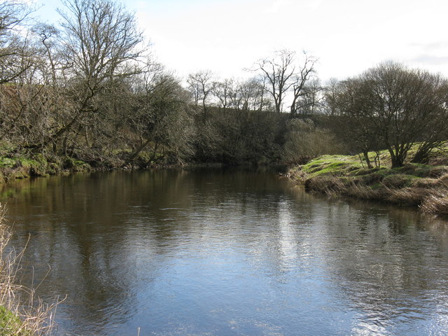
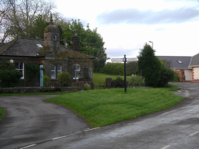
Albie Hill Images
Images are sourced within 2km of 55.142734/-3.3980042 or Grid Reference NY1084. Thanks to Geograph Open Source API. All images are credited.


Albie Hill is located at Grid Ref: NY1084 (Lat: 55.142734, Lng: -3.3980042)
Unitary Authority: Dumfries and Galloway
Police Authority: Dumfries and Galloway
What 3 Words
///hound.school.voices. Near Lochmaben, Dumfries & Galloway
Nearby Locations
Related Wikis

Applegarthtown
Applegarthtown, also known as Applegarth or Applegirth, is a village near Lockerbie in Annandale, Dumfries and Galloway, Scotland. Applegarth's Town is...
Kinnel Water
The Kinnel Water is a river in the Scottish council area of Dumfries and Galloway, in the shire of Dumfriesshire. == History == The Kinnel Water rises...

Steven's Croft power station
Steven's Croft is a wood-fired power station near Lockerbie in Scotland. It started energy production in 2008. It is operated by E.ON and produces 44 MW...
Millhousebridge
Millhousebridge (Scottish Gaelic: Drochaid a' Mhuilinn) is a village in Dumfries and Galloway, Scotland. == References ==

Johnsfield
Johnsfield is a settlement near Lockerbie in Dumfries and Galloway, Scotland. == External links == Scotland's places
Nethercleugh railway station
Nethercleugh railway station was a station which served the rural area around Nethercleugh and the estate of Jardine Hall, 3 miles north of Lockerbie in...
Lochmaben F.C.
Lochmaben Football Club is a Scottish football based in Lochmaben, Dumfries and Galloway. The club took on its current name after a merger with Crichton...

Lochmaben railway station
Lochmaben railway station was a station which served Lochmaben, in the Scottish county of Dumfries and Galloway. It was served by trains on a local line...
Nearby Amenities
Located within 500m of 55.142734,-3.3980042Have you been to Albie Hill?
Leave your review of Albie Hill below (or comments, questions and feedback).