Sale's Wood

Wood, Forest in Lancashire

England

Sale's Wood

Two Butt Lane field
Two Butt Lane field Credit: Lauren

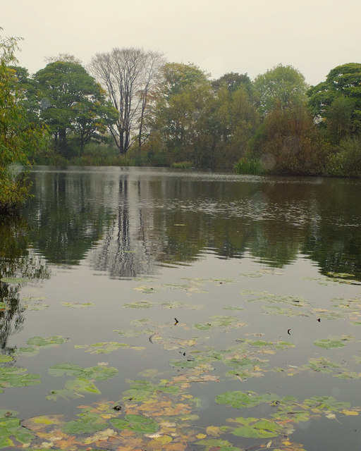
Sale's Wood is a picturesque forest located in the county of Lancashire, England. Covering an area of approximately 200 acres, it is renowned for its natural beauty and diverse ecosystem. The wood is situated near the town of Bury and is easily accessible by both car and public transportation.

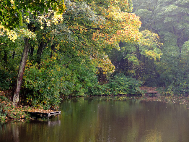
As visitors enter the wood, they are greeted by a dense canopy of towering trees, predominantly oak and beech, which create a sense of tranquility and seclusion. The forest floor is carpeted with a rich layer of fallen leaves, providing a striking contrast of colors throughout the seasons.

Sale's Wood is home to a wide variety of wildlife, including deer, foxes, badgers, and a plethora of bird species. Nature enthusiasts and birdwatchers flock to the wood to catch a glimpse of elusive species such as woodpeckers, nuthatches, and tawny owls.

The wood offers a range of walking trails, varying in difficulty and length, catering to both casual strollers and avid hikers. These trails meander through the forest, allowing visitors to immerse themselves in the natural surroundings. Along the way, there are several designated picnic areas and benches where visitors can rest and enjoy a packed lunch.

The wood is also a popular spot for photography, with its enchanting landscapes and abundant wildlife providing endless opportunities for capturing stunning shots. Additionally, organized nature walks and educational programs are occasionally held in Sale's Wood, providing an opportunity for visitors to learn more about the local flora and fauna.

In summary, Sale's Wood is a captivating forest in Lancashire, offering a peaceful escape from the hustle and bustle of everyday life. Its diverse wildlife, scenic trails, and natural beauty make it an idyllic destination for nature lovers and outdoor enthusiasts alike.

If you have any feedback on the listing, please let us know in the comments section below.
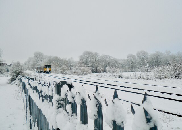
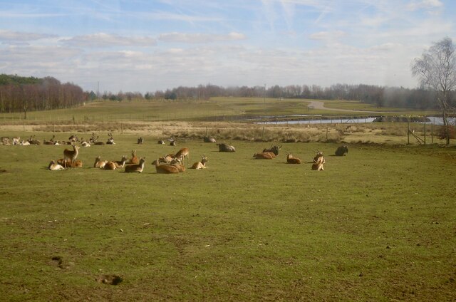
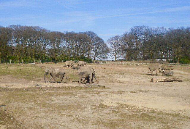
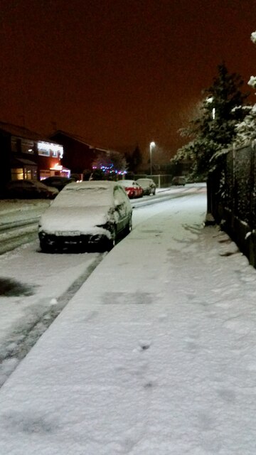
Sale's Wood Images

Images are sourced within 2km of 53.441967/-2.7867802 or Grid Reference SJ4794. Thanks to Geograph Open Source API. All images are credited.

Two Butt Lane field
Two Butt Lane field
Old Gents, Grosvenor Road, Prescot Writing on the wall.
Old Gents, Grosvenor Road, Prescot
Writing on the wall.
Northern Rail train approaching Eccleston Park station
Snow on Portico Lane
Knowsley Safari Park Knowsley Safari Park opened in 1971 and has over 550 acres of land.
Knowsley Safari Park
Knowsley Safari Park opened in 1971 and has over 550 acres of land.
Elephants at Knowsley Safari Park Knowsley Safari Park opened in 1971 and has over 550 acres of land.
Elephants at Knowsley Safari Park
Knowsley Safari Park opened in 1971 and has over 550 acres of land.
Snow on Hilary Close
Eccleston Bottom Dam
Eccleston Top Dam
Eccleston Top Dam
Exclusively Jones, Housing development at Eccleston Grange
Thatto Heath railway station, Merseyside Opened in 1872 by the London & North Western Railway on the line from Liverpool Lime Street to Wigan. 
View south east towards Eccleston Park and Liverpool shortly after electrification. For a similar view six years earlier, see <a href="https://www.geograph.org.uk/photo/3444235">SJ4993 : Thatto Heath railway station, Merseyside, 2009</a>.
Thatto Heath railway station, Merseyside
Opened in 1872 by the London & North Western Railway on the line from Liverpool Lime Street to Wigan. View south east towards Eccleston Park and Liverpool shortly after electrification. For a similar view six years earlier, see SJ4993 : Thatto Heath railway station, Merseyside, 2009.
Eccleston Park railway station, Merseyside Opened in 1891 by the London & North Western Railway on the line from Liverpool Lime Street to Wigan. 
View south west towards Prescot and Liverpool shortly after electrification. For a similar view six years earlier, see <a href="https://www.geograph.org.uk/photo/3444228">SJ4892 : Eccleston Park railway station, Merseyside, 2009</a>.
Eccleston Park railway station, Merseyside
Opened in 1891 by the London & North Western Railway on the line from Liverpool Lime Street to Wigan. View south west towards Prescot and Liverpool shortly after electrification. For a similar view six years earlier, see SJ4892 : Eccleston Park railway station, Merseyside, 2009.
Railway cutting north east of Scotchbarn Lane
Big Dam, Taylor Park, St Helens, from the air Taken from a plane on approach to Liverpool John Lennon Airport.
Big Dam, Taylor Park, St Helens, from the air
Taken from a plane on approach to Liverpool John Lennon Airport.
East side of Eccleston from the air Taken from a plane on approach to Liverpool John Lennon Airport.
East side of Eccleston from the air
Taken from a plane on approach to Liverpool John Lennon Airport.
On St Helens Road, Prescot
Ostriches at Knowsley Safari Park They were just standing in the road, refusing to budge as drivers were forced to manoeuvre around them. Contrary to the visual evidence and rumours, they are not employed by the safari park to check tickets.
Ostriches at Knowsley Safari Park
They were just standing in the road, refusing to budge as drivers were forced to manoeuvre around them. Contrary to the visual evidence and rumours, they are not employed by the safari park to check tickets.
Time for Lunch Lioness at Knowsley Safari Park. Seen through the glass of a car window, in spite of my instinct to wind the window down. Her eyes suggest that the  lioness possesses a very different kind of instinct.
Time for Lunch
Lioness at Knowsley Safari Park. Seen through the glass of a car window, in spite of my instinct to wind the window down. Her eyes suggest that the lioness possesses a very different kind of instinct.
Show me another place!

Sale's Wood is located at Grid Ref: SJ4794 (Lat: 53.441967, Lng: -2.7867802)

Unitary Authority: St. Helens

Police Authority: Merseyside

What 3 Words

///share.hurry.basket. Near Eccleston, Merseyside

Related Wikis

Prescot reservoirs

In 1857 two small holding reservoirs were built in Prescot to receive water from the Rivington reservoirs. These held sufficient water to supply Liverpool...

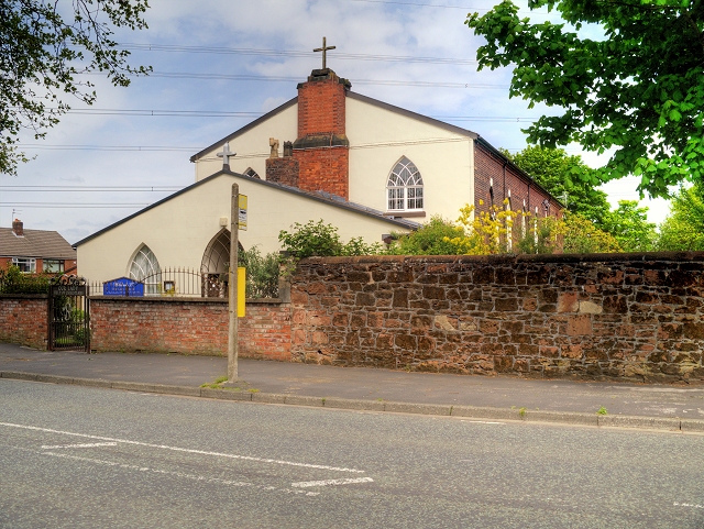
Our Lady Help of Christians Church, Portico

Our Lady Help of Christians Church is a Roman Catholic Parish church in the Portico area of Prescot, Merseyside. It was founded in 1790 by the Society...

Carmel College (St Helens)

Carmel College is a Roman Catholic mixed sixth form college located in St Helens, Merseyside, England and welcomes students of all faiths. == History... ==
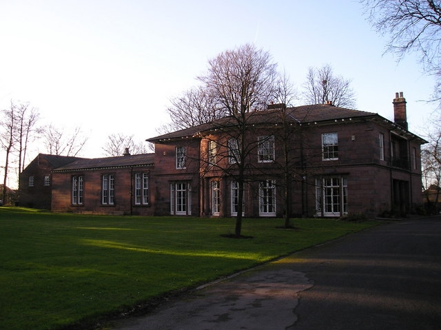
Eccleston Hall

Eccleston Hall is a Grade II listed hall located in Eccleston, St Helens, Merseyside, England. Originally constructed in the 16th century, the current...

Nearby Amenities

Located within 500m of 53.441967,-2.7867802
Power: tower
Lat/Long: 53.4426443/-2.7916617
Power: tower
Lat/Long: 53.4402318/-2.7870834
Bus Stop
BURROWS LANE
Bus: yes
Naptan AtcoCode: 2800S14042B
Naptan Bearing: S
Naptan CommonName: BURROWS LANE
Naptan Indicator: BURROWS LANE
Naptan Landmark: OPP BURROWS LANE FARM
Naptan NaptanCode: meragpwp
Naptan Notes: No Notes
Naptan PlusbusZoneRef: LVRPLCH
Naptan ShortCommonName: Burrows Ln
Naptan Street: BURROWS LANE
Naptan Verified: no
Public Transport: platform
Source: naptan_import
Lat/Long: 53.4442753/-2.7917773
Bus Stop
BURROWS LN/KNOWSLEY VIEW
Bus: yes
Naptan AtcoCode: 2800S14043A
Naptan Bearing: N
Naptan CommonName: BURROWS LN/KNOWSLEY VIEW
Naptan Indicator: BURROWS LANE
Naptan Landmark: OPP KWSLEY VIEW
Naptan NaptanCode: meragpwt
Naptan Notes: No Notes
Naptan PlusbusZoneRef: LVRPLCH
Naptan ShortCommonName: Burrows Lane
Naptan Street: BURROWS LANE
Naptan Verified: no
Public Transport: platform
Source: naptan_import
Lat/Long: 53.4432841/-2.7921353
Bus Stop
BURROWS LN/KNOWSLEY VIEW
Bus: yes
Naptan AtcoCode: 2800S14043B
Naptan Bearing: S
Naptan CommonName: BURROWS LN/KNOWSLEY VIEW
Naptan Indicator: BURROWS LANE
Naptan Landmark: O/S KWSLEY VIEW
Naptan NaptanCode: meragtad
Naptan Notes: No Notes
Naptan PlusbusZoneRef: LVRPLCH
Naptan ShortCommonName: Burrows Lane
Naptan Street: BURROWS LANE
Naptan Verified: no
Public Transport: platform
Source: naptan_import
Lat/Long: 53.4420432/-2.7922025
Bus Stop
BURROWS LN/CRICKET GROUND
Bus: yes
Naptan AtcoCode: 2800S14044A
Naptan Bearing: N
Naptan CommonName: BURROWS LN/CRICKET GROUND
Naptan Indicator: BURROWS LANE
Naptan Landmark: OPP PRESCOT CRICKET CLUB NEAR 3 RESERVOIR
Naptan NaptanCode: meragtag
Naptan Notes: No Notes
Naptan ShortCommonName: Burrows Ln/Cricket
Naptan Street: BURROWS LANE
Naptan Verified: no
Public Transport: platform
Source: naptan_import
Lat/Long: 53.4396336/-2.7922781
Bus Stop
BURROWS LN/CRICKET GROUND
Bus: yes
Naptan AtcoCode: 2800S14044B
Naptan Bearing: S
Naptan CommonName: BURROWS LN/CRICKET GROUND
Naptan Indicator: BURROWS LANE
Naptan Landmark: O/S PRESCOT CRICKET CLUB OPP 3 RESERVOIR
Naptan NaptanCode: meragtaj
Naptan Notes: No Notes
Naptan ShortCommonName: Burrows Ln/Cricket
Naptan Street: BURROWS LANE
Naptan Verified: no
Public Transport: platform
Source: naptan_import
Lat/Long: 53.4394729/-2.7921246
The data included in this document is from www.openstreetmap.org. The data is made available under ODbL.

Have you been to Sale's Wood?

Leave your review of Sale's Wood below (or comments, questions and feedback).