Gorse Plantation
Wood, Forest in Lancashire
England
Gorse Plantation

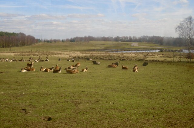
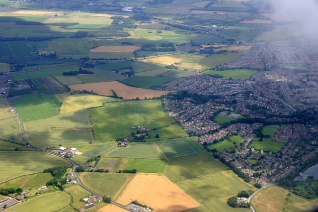
Gorse Plantation is a picturesque woodland located in the county of Lancashire, England. Situated near the town of Wood, this enchanting forest covers an area of approximately 100 acres and is known for its abundant growth of gorse bushes.
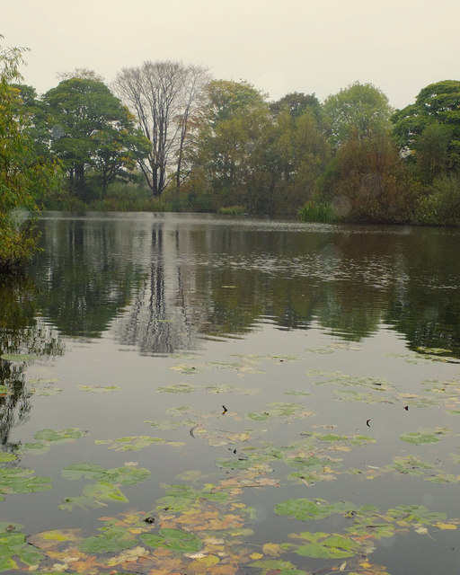
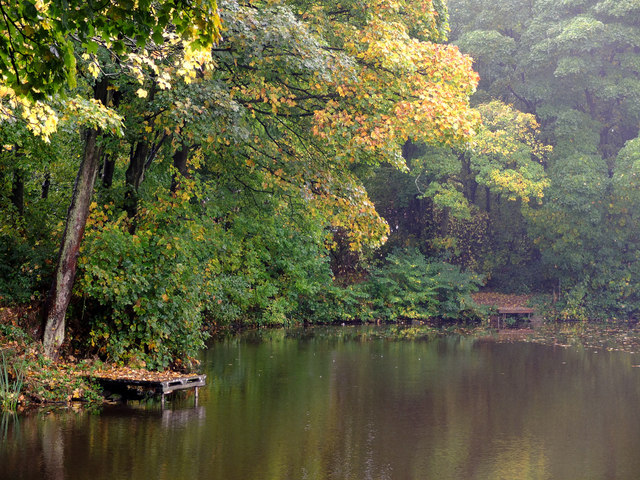
The plantation is characterized by its dense and vibrant vegetation, with the gorse bushes being the dominant feature of the landscape. These evergreen shrubs, known for their bright yellow flowers that bloom throughout the year, create a stunning display of color against the backdrop of the surrounding woodland.
Gorse Plantation offers a variety of walking trails, allowing visitors to explore its natural beauty and experience the tranquility of the forest. The well-maintained paths wind through the plantation, providing opportunities for leisurely strolls or more adventurous hikes.
The woodland is home to a diverse range of wildlife, including birds, butterflies, and small mammals. Birdwatchers will delight in the chance to spot species such as goldfinches, stonechats, and linnets, which are known to frequent this area.
Gorse Plantation is also of historical significance, with remnants of an old quarry visible within its boundaries. These remnants serve as a reminder of the area's past as a source of building materials for the local community.
Overall, Gorse Plantation offers a serene escape from the bustling city life, inviting visitors to immerse themselves in nature and enjoy the beauty of this idyllic Lancashire woodland.
If you have any feedback on the listing, please let us know in the comments section below.
Gorse Plantation Images
Images are sourced within 2km of 53.440739/-2.784951 or Grid Reference SJ4794. Thanks to Geograph Open Source API. All images are credited.


Gorse Plantation is located at Grid Ref: SJ4794 (Lat: 53.440739, Lng: -2.784951)
Unitary Authority: St. Helens
Police Authority: Merseyside
What 3 Words
///talked.coach.apron. Near Eccleston, Merseyside
Nearby Locations
Related Wikis
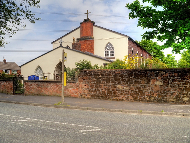
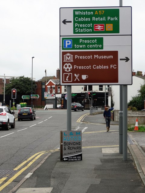
Our Lady Help of Christians Church, Portico
Our Lady Help of Christians Church is a Roman Catholic Parish church in the Portico area of Prescot, Merseyside. It was founded in 1790 by the Society...

Prescot reservoirs
In 1857 two small holding reservoirs were built in Prescot to receive water from the Rivington reservoirs. These held sufficient water to supply Liverpool...
Carmel College (St Helens)
Carmel College is a Roman Catholic mixed sixth form college located in St Helens, Merseyside, England and welcomes students of all faiths. == History... ==
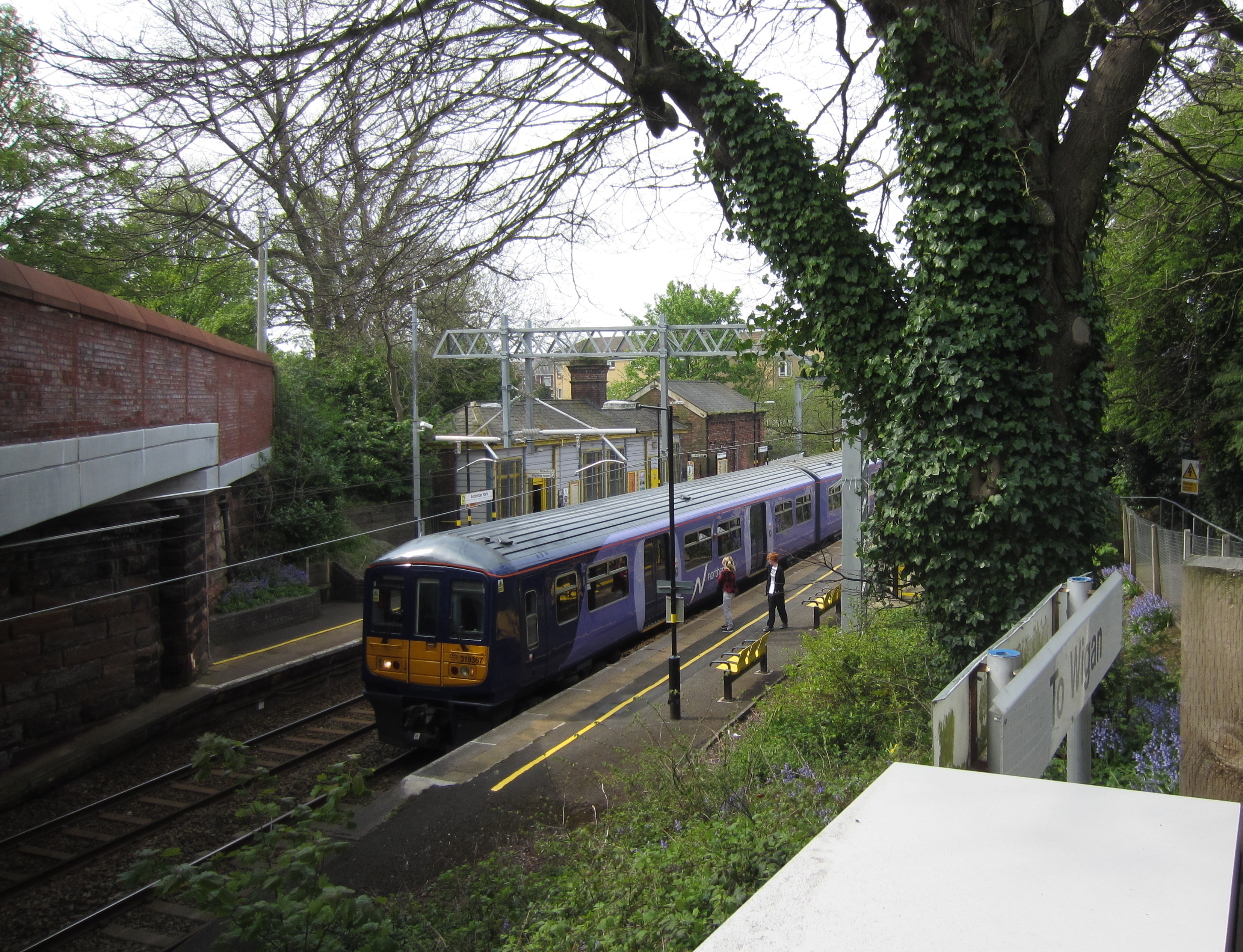
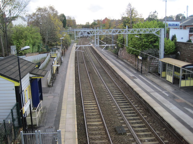
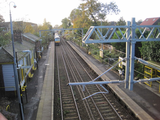
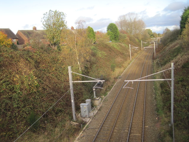
Eccleston Park railway station
Eccleston Park railway station serves the Eccleston Park area of St Helens, Merseyside, England. It is situated on the electrified Merseytravel Liverpool...
Nearby Amenities
Located within 500m of 53.440739,-2.784951Have you been to Gorse Plantation?
Leave your review of Gorse Plantation below (or comments, questions and feedback).