Orling Coppice
Wood, Forest in Herefordshire
England
Orling Coppice
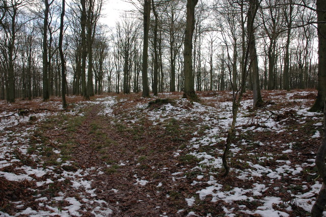
Orling Coppice is a serene woodland located in the county of Herefordshire, England. Covering an area of approximately 100 acres, this enchanting forest is renowned for its natural beauty and diverse ecosystem. It is situated just a few miles outside the market town of Leominster, making it easily accessible for nature enthusiasts and locals alike.
The coppice is predominantly composed of mixed deciduous trees, such as oak, ash, and beech, which create a stunning canopy overhead. The forest floor is blanketed with a variety of wildflowers, ferns, and mosses, adding to the overall picturesque scenery. The trees are well-established, with some dating back several centuries, providing a sense of history and tranquility to the area.
The woodland is home to a plethora of wildlife, including deer, badgers, squirrels, and a wide range of bird species. Birdwatchers can spot nesting birds, such as woodpeckers, owls, and thrushes, while nature enthusiasts can enjoy the sight of wildflowers attracting butterflies and bees during the warmer months.
Orling Coppice offers a range of walking trails, allowing visitors to explore the forest at their own pace. The paths wind through the woods, providing glimpses of picturesque vistas and secluded clearings along the way. The forest also features a small stream that meanders through the trees, adding to the overall enchantment of the area.
With its serene ambiance, abundant wildlife, and stunning natural scenery, Orling Coppice is a haven for those seeking solace in the midst of nature. Whether it is a leisurely stroll, birdwatching, or simply immersing oneself in the beauty of the forest, this woodland gem in Herefordshire offers an unforgettable experience for all who visit.
If you have any feedback on the listing, please let us know in the comments section below.
Orling Coppice Images
Images are sourced within 2km of 52.160843/-2.7639109 or Grid Reference SO4751. Thanks to Geograph Open Source API. All images are credited.


Orling Coppice is located at Grid Ref: SO4751 (Lat: 52.160843, Lng: -2.7639109)
Unitary Authority: County of Herefordshire
Police Authority: West Mercia
What 3 Words
///required.deciding.tomato. Near Dinmore, Herefordshire
Nearby Locations
Related Wikis
Dinmore, Herefordshire
Dinmore is a geographically small civil parish in Herefordshire, England. The parish had an estimated population in mid-2010 of 7, the smallest in the...

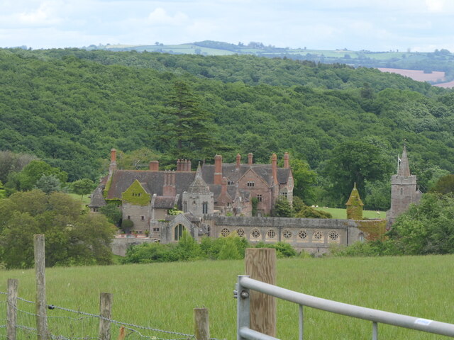
Dinmore Manor
Dinmore Manor House is a large rural house in a well-wooded, hilly part of Herefordshire in the least populous parish of the county, Dinmore. It was substantially...

Birley with Upper Hill
Birley with Upper Hill is a civil parish in Herefordshire, England, consisting of the small villages of Birley and Upper Hill, and most of the hamlet of...

Queen's Wood Country Park
Queen's Wood Country Park is the only designated country park in the county of Herefordshire. A tourist attraction on Dinmore Hill, it has two components...
Have you been to Orling Coppice?
Leave your review of Orling Coppice below (or comments, questions and feedback).