Bowyers Wood

Wood, Forest in Shropshire

England

Bowyers Wood

Old River Bed, Coton Hill, Shrewsbury Very old, prehistoric.  Apparently the River Severn used to pass the site of Shrewsbury on the north side, and the old bed has not been drained for agricultural use.
Old River Bed, Coton Hill, Shrewsbury Credit: Humphrey Bolton

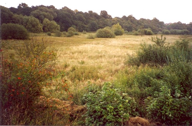
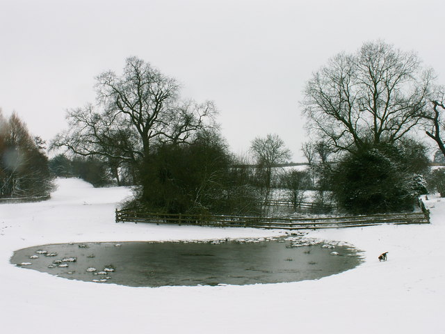
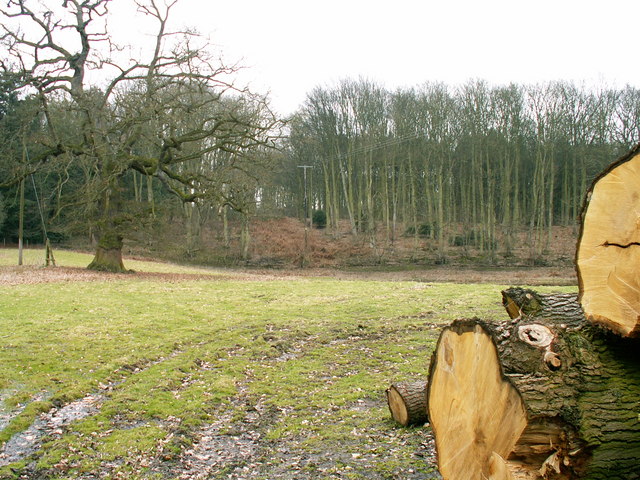
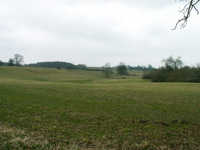
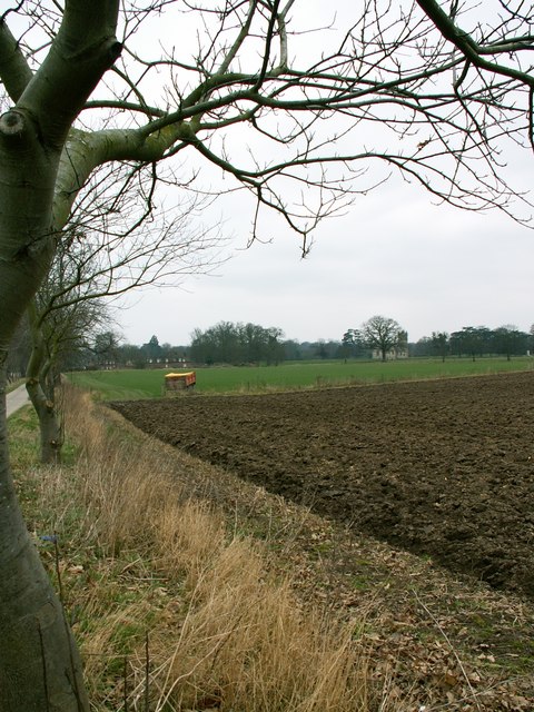
Bowyers Wood is a stunning woodland located in the county of Shropshire, England. Stretching across an area of approximately 100 acres, this woodland is a true haven for nature enthusiasts and outdoor lovers alike. It is situated near the village of Clun, nestled within the picturesque Clun Valley.

The wood is characterized by its diverse range of tree species, including oak, ash, beech, and birch, which create a rich and vibrant tapestry of colors throughout the year. These trees provide a habitat for a wide variety of wildlife, making it an excellent spot for birdwatching and animal spotting. Visitors may be lucky enough to spot rare species such as red kites, woodpeckers, and even elusive deer.

Bowyers Wood offers a network of well-maintained footpaths and trails, allowing visitors to explore its natural beauty at their own pace. These paths wind through the wood, passing by babbling brooks, wildflower meadows, and hidden clearings, adding to the enchanting atmosphere of the forest.

In addition to its natural beauty, Bowyers Wood holds historical significance. The name Bowyers originated from the traditional craft of bow making, which was once practiced in this area. The wood itself is believed to have been managed for timber production for centuries, with evidence of ancient woodland management techniques still visible.

Overall, Bowyers Wood is a captivating and tranquil escape, offering visitors the chance to immerse themselves in the beauty of nature, explore its rich history, and reconnect with the great outdoors.

If you have any feedback on the listing, please let us know in the comments section below.
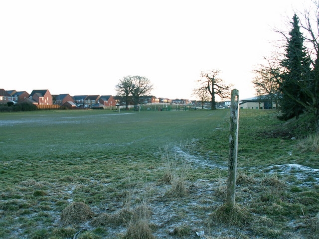
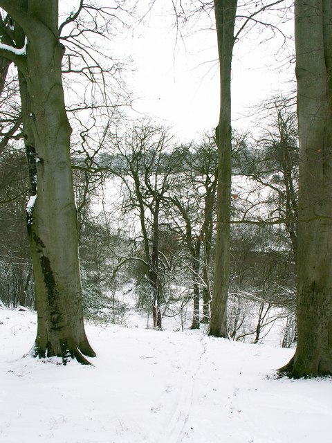
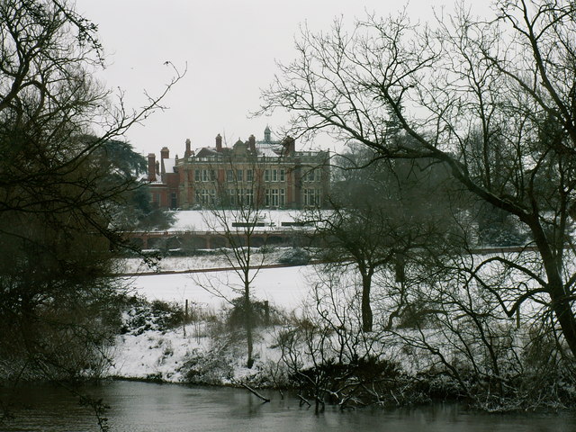
Bowyers Wood Images

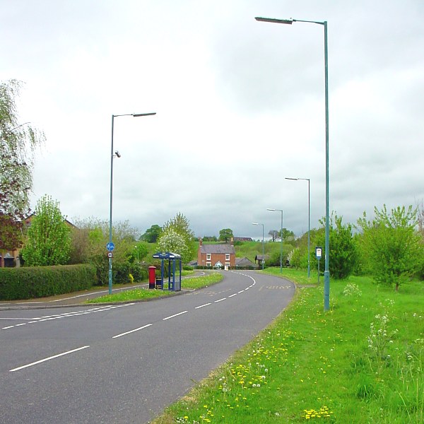
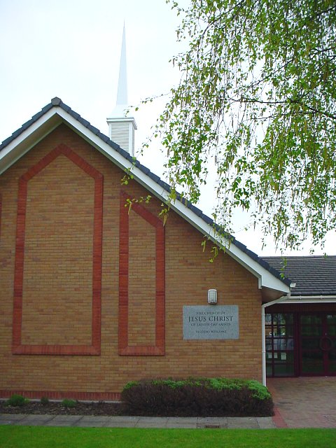
Images are sourced within 2km of 52.736772/-2.7740181 or Grid Reference SJ4715. Thanks to Geograph Open Source API. All images are credited.

Old River Bed, Coton Hill, Shrewsbury Very old, prehistoric.  Apparently the River Severn used to pass the site of Shrewsbury on the north side, and the old bed has not been drained for agricultural use.
Old River Bed, Coton Hill, Shrewsbury
Very old, prehistoric. Apparently the River Severn used to pass the site of Shrewsbury on the north side, and the old bed has not been drained for agricultural use.
Public Footpath An old footpath is preserved between modern housing and hospital developments
Public Footpath
An old footpath is preserved between modern housing and hospital developments
River Severn from Spring Coppice Standing at the top of the river cliff looking towards the River Severn below.
River Severn from Spring Coppice
Standing at the top of the river cliff looking towards the River Severn below.
Berwick House Looking at Berwick House from across the River Severn
Berwick House
Looking at Berwick House from across the River Severn
Pond at Rossall Farm A winter scene at Rossall Farm
Pond at Rossall Farm
A winter scene at Rossall Farm
Alkmund Wood Towards Alkmund Wood - a standing of water can be seen in the low lying land before the edge of the wood.
Alkmund Wood
Towards Alkmund Wood - a standing of water can be seen in the low lying land before the edge of the wood.
Farmland north of Shrewsbury Farmland north of Gravel Hill, Shrewsbury, Shropshire
Farmland north of Shrewsbury
Farmland north of Gravel Hill, Shrewsbury, Shropshire
Farmland at the Berwick House Estate A view westward towards the almshouses and the estate church
Farmland at the Berwick House Estate
A view westward towards the almshouses and the estate church
Puddle or Pond? This shallow depression in this field is now home to this huge puddle.
Puddle or Pond?
This shallow depression in this field is now home to this huge puddle.
Footpath and Hedge The footpath across this field follows the line of the puddles.  The hedge in the foreground looks like it has been cut by debris falling from the sky.
Footpath and Hedge
The footpath across this field follows the line of the puddles. The hedge in the foreground looks like it has been cut by debris falling from the sky.
Road to Huffley This farm road lead to huffley in the next square north.
Road to Huffley
This farm road lead to huffley in the next square north.
Hubert Way Hubert Way, looking towards its junction with Ellesmere Road (A528)
The junction on the left is Butterwick Drive.
This area is also known as Herongate.
Hubert Way
Hubert Way, looking towards its junction with Ellesmere Road (A528) The junction on the left is Butterwick Drive. This area is also known as Herongate.
Old River Bed, Shrewsbury This view shows the former bed of the River Severn in Shrewsbury, the current route of the Severn being about a mile from this point.
Old River Bed, Shrewsbury
This view shows the former bed of the River Severn in Shrewsbury, the current route of the Severn being about a mile from this point.
Church of Jesus Christ of latter-day saints Church of Jesus Christ of latter-day Saints, Mount Pleasant Road, Shrewsbury
Church of Jesus Christ of latter-day saints
Church of Jesus Christ of latter-day Saints, Mount Pleasant Road, Shrewsbury
Signs at Mount Pleasant Roadsigns on A528 Ellesmere Road, at Mount Pleasant junction.
Ellesmere Road defines one of the edges of the Northern part of Shrewsbury, to the East of the road is urban. To the West of Ellesmere Road is rural
Signs at Mount Pleasant
Roadsigns on A528 Ellesmere Road, at Mount Pleasant junction. Ellesmere Road defines one of the edges of the Northern part of Shrewsbury, to the East of the road is urban. To the West of Ellesmere Road is rural
Mount Pleasant Junction Entrance to Mount Pleasant Road, from A528 Ellesmere Road.
Mount Pleasant Junction
Entrance to Mount Pleasant Road, from A528 Ellesmere Road.
House beside the B 5067 at Crossgreen
Heading towards Isle Park Farm
Show me another place!

Bowyers Wood is located at Grid Ref: SJ4715 (Lat: 52.736772, Lng: -2.7740181)

Unitary Authority: Shropshire

Police Authority: West Mercia

What 3 Words

///land.baking.spice. Near Bicton, Shropshire

Nearby Locations

Bowyers Wood Rosehill

Related Wikis

Crossgreen

Crossgreen is a hamlet in Shropshire, England. It is situated on the B5067, Shrewsbury to Baschurch road, in the parish of Pimhill, between Shrewsbury...

Berwick House

Berwick House is a Georgian Country House on the banks of the River Severn north of Shrewsbury, in the United Kingdom. The house dates from the 1700s,...

Dunnsheath

Dunnsheath is a hamlet in Shropshire, England. It is sometimes spelt as "Dunn's Heath".It is situated on the B5067, Shrewsbury to Baschurch road, in the...

Old River Bed, Shrewsbury

Old River Bed, Shrewsbury is a Site of Special Scientific Interest located two miles north of Shrewsbury town centre, to the east of the A528 in Shropshire...

Nearby Amenities

Located within 500m of 52.736772,-2.7740181
Barrier: stile
Lat/Long: 52.7381142/-2.7680532
Barrier: stile
Lat/Long: 52.7391114/-2.7684233
Barrier: stile
Lat/Long: 52.7349086/-2.7673851
Give Way
Direction: backward
Lat/Long: 52.7403225/-2.778284
The data included in this document is from www.openstreetmap.org. The data is made available under ODbL.

Have you been to Bowyers Wood?

Leave your review of Bowyers Wood below (or comments, questions and feedback).