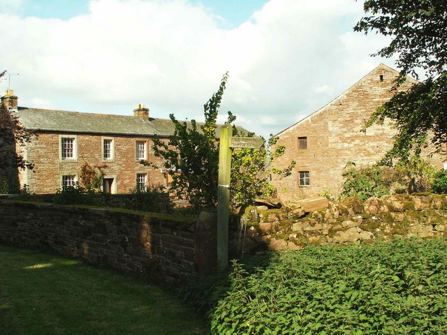
Cottage Wood
Wood, Forest in Cumberland Eden
England
Cottage Wood
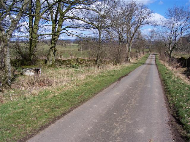
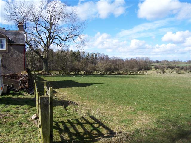
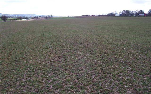
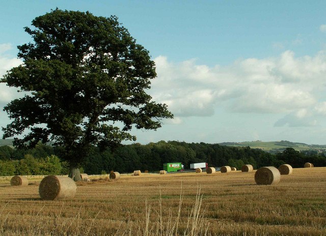
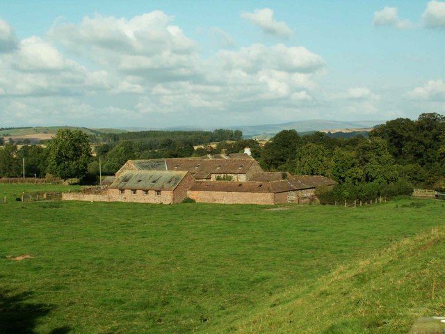
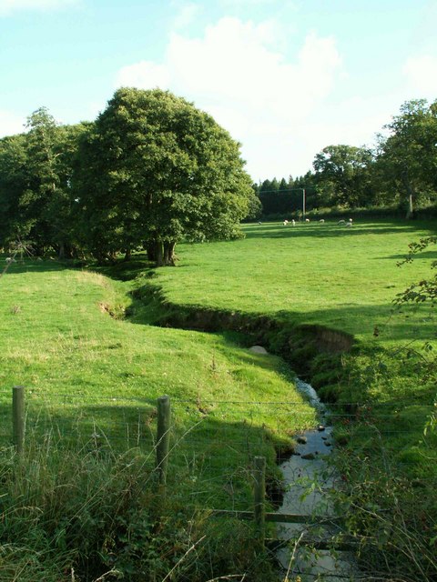
Cottage Wood, located in Cumberland, is a mesmerizing forest that offers a peaceful and serene escape from the hustle and bustle of city life. Stretching across a vast expanse of land, this woodland is an oasis of natural beauty, boasting an array of native trees, plants, and wildlife.
The forest is characterized by its dense canopy of towering trees, including majestic oak, maple, and pine, which provide shade and shelter to the abundant flora and fauna that call Cottage Wood their home. The forest floor is carpeted with a variety of wildflowers, ferns, and moss, creating a picturesque scene straight out of a fairytale.
Visitors to Cottage Wood can immerse themselves in the tranquility of nature by following one of the well-maintained hiking trails that wind their way through the forest. These trails offer a chance to explore the diverse landscapes and witness the changing seasons, from the vibrant colors of autumn to the lush greenery of spring.
For nature enthusiasts, Cottage Wood is a haven for birdwatching and wildlife spotting. The forest is home to numerous species of birds, including woodpeckers, owls, and warblers, as well as mammals such as deer, foxes, and squirrels. Patient observers may even catch a glimpse of the elusive red fox or the majestic white-tailed deer.
Cottage Wood is not only a sanctuary for nature lovers but also a valuable ecosystem that plays a crucial role in maintaining the ecological balance of the region. Its preservation and conservation are of utmost importance to ensure the continued existence of this enchanting woodland for generations to come.
If you have any feedback on the listing, please let us know in the comments section below.
Cottage Wood Images
Images are sourced within 2km of 54.742473/-2.8164485 or Grid Reference NY4738. Thanks to Geograph Open Source API. All images are credited.


Cottage Wood is located at Grid Ref: NY4738 (Lat: 54.742473, Lng: -2.8164485)
Administrative County: Cumbria
District: Eden
Police Authority: Cumbria
What 3 Words
///asserts.segments.sunblock. Near Penrith, Cumbria
Nearby Locations
Related Wikis
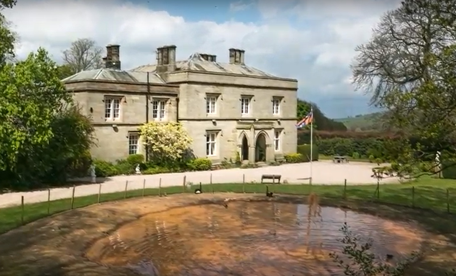
Calthwaite Hall
Calthwaite Hall, near Penrith in Cumbria, England, is a house of historical significance and is Grade II listed on the National Heritage List for England...

Calthwaite
Calthwaite is a small village in rural Cumbria, England, situated between the small market town of Penrith and the larger city of Carlisle. It is within...

Calthwaite railway station
Calthwaite railway station in Hesket parish, was situated on the Lancaster and Carlisle Railway (the West Coast Main Line) between Carlisle and Penrith...
Plumpton railway station (Cumbria)
Plumpton railway station in Hesket parish in what is now Cumbria but was then Cumberland in the north west of England, was situated on the Lancaster and...

Brockleymoor
Brockleymoor was a hamlet in Cumbria, England, but it is now part of the village of Plumpton. It is located several miles north of Penrith, not far from...

Morton, Eden
Morton is a hamlet near the village of Calthwaite, in the civil parishes of Hesket and Skelton, within the Eden district of the English county of Cumbria...

Plumpton, Cumbria
Plumpton or Plumpton Wall is a small village and former civil parish, in the parish of Hesket, in the Westmorland and Furness district, in the traditional...

Hesket, Cumbria
Hesket (also Hesket-in-the-Forest) is a large civil parish in the Eden District of Cumbria, England, on the main A6 between Carlisle and Penrith. At the...
Nearby Amenities
Located within 500m of 54.742473,-2.8164485Have you been to Cottage Wood?
Leave your review of Cottage Wood below (or comments, questions and feedback).