Powys Coppice
Wood, Forest in Shropshire
England
Powys Coppice
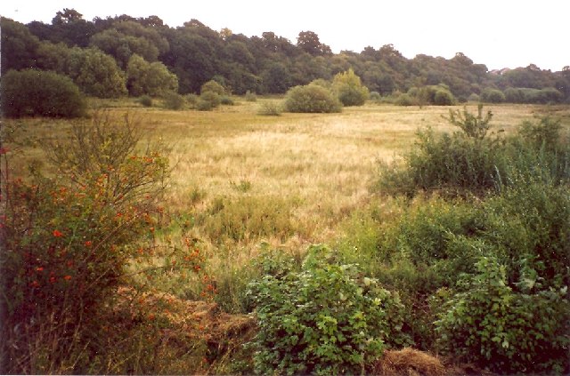
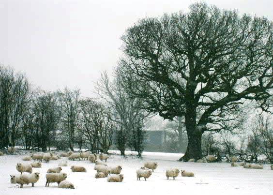
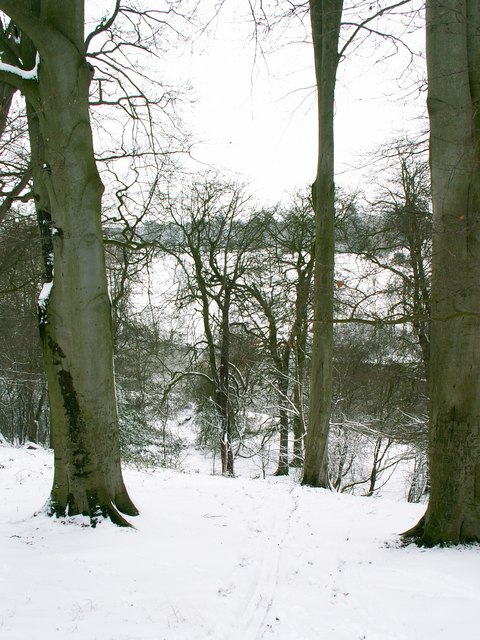
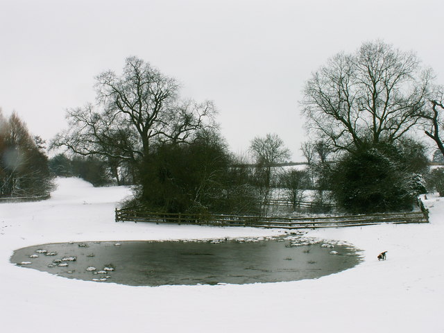
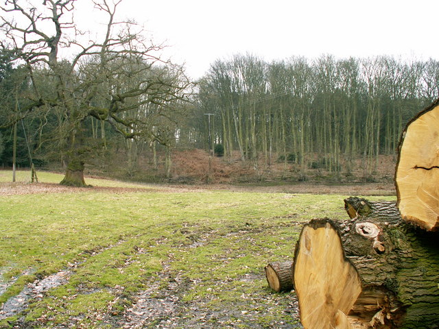
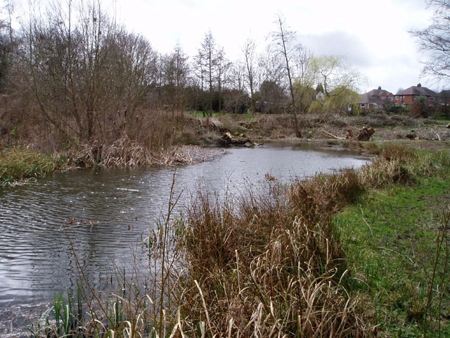
Powys Coppice is a picturesque woodland located in the county of Shropshire, England. Spanning over an area of approximately 100 acres, it is a well-preserved example of a traditional coppice woodland. The woodland is primarily composed of broadleaf trees, including oak, ash, birch, and hazel, which create a diverse and vibrant ecosystem.
The management of Powys Coppice follows the ancient practice of coppicing, which involves periodically cutting down mature trees to ground level. This process promotes the growth of new shoots and allows for the sustainable harvesting of wood for various purposes, such as fuel, fencing, and crafts. The practice of coppicing has been carried out in this woodland for centuries, contributing to its historical significance.
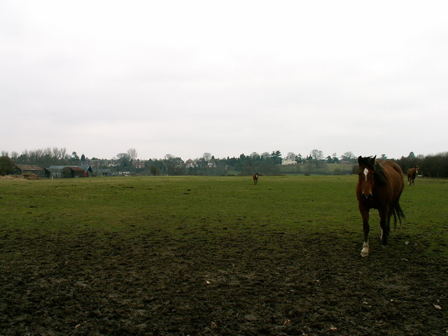
Walking through Powys Coppice, visitors can enjoy a tranquil and peaceful environment. The woodland is home to a variety of wildlife, including deer, badgers, foxes, and numerous bird species. The abundance of flora and fauna makes it an ideal spot for nature enthusiasts and photographers.
The woodland is also accessible via a network of well-maintained footpaths, which allow visitors to explore different areas of the coppice. These paths provide opportunities for leisurely walks, jogging, or cycling. Additionally, there are picnic areas and benches scattered throughout the woodland, providing visitors with a chance to relax and appreciate the natural surroundings.
Powys Coppice is not only a haven for wildlife but also serves as an educational resource. It offers workshops and educational programs for schools and community groups, teaching them about the importance of woodland preservation, sustainable management practices, and the cultural heritage associated with coppicing.
Overall, Powys Coppice is a valuable natural asset in Shropshire, offering a beautiful and educational experience for visitors while playing a vital role in the conservation of traditional woodland management techniques.
If you have any feedback on the listing, please let us know in the comments section below.
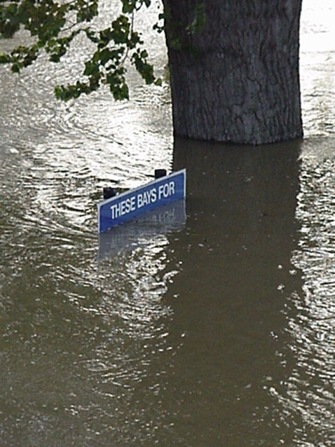
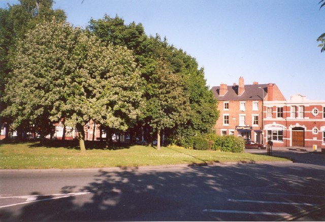
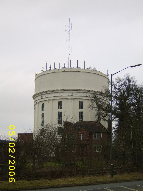
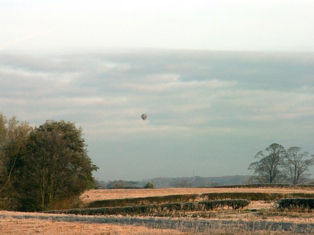
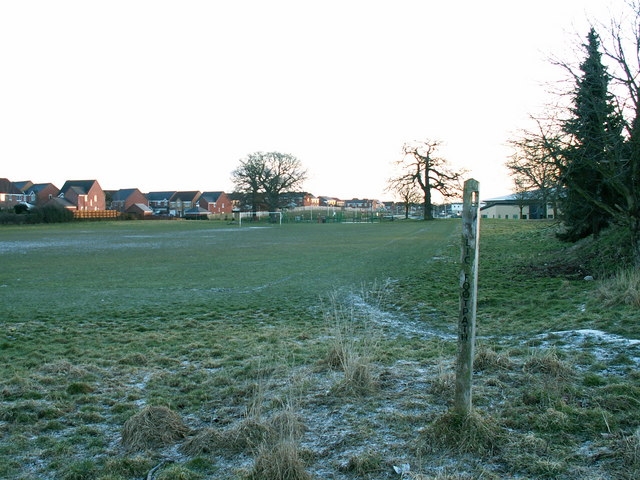
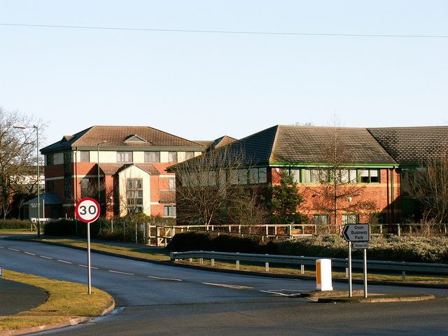
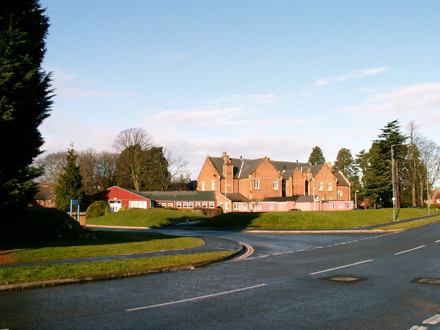
Powys Coppice Images
Images are sourced within 2km of 52.723583/-2.7782116 or Grid Reference SJ4714. Thanks to Geograph Open Source API. All images are credited.
Powys Coppice is located at Grid Ref: SJ4714 (Lat: 52.723583, Lng: -2.7782116)
Unitary Authority: Shropshire
Police Authority: West Mercia
What 3 Words
///create.traded.roses. Near Shrewsbury, Shropshire
Nearby Locations
Related Wikis

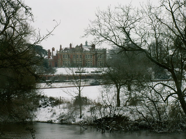
Berwick House
Berwick House is a Georgian Country House on the banks of the River Severn north of Shrewsbury, in the United Kingdom. The house dates from the 1700s,...

Shropshire County Show
The Shropshire County Show, formerly and to now often called the West Mid Show (short for Shropshire and West Midlands Show), is an annual agricultural...

Shelton, Shropshire
Shelton is a suburb located in the west of the town of Shrewsbury in Shropshire, England, described by the Pevsner Architectural Guides as "Shrewsbury...

Copthorne Barracks
Copthorne Barracks was a British Army military installation in Copthorne, a suburb of Shrewsbury in Shropshire, England. == History == The barracks were...
Related Videos

SHREWSBURY
Shrewsbury, Shropshire, England. One of the most beautiful towns in the UK. Let's explore it in this gentle happy town centre walk ...

Shrewsbury Walking Tour
A walking tour of the beautiful town of Shrewsbury in Shropshire, United Kingdom. Filmed early November 2020 a day before the ...

Shrewsbury England | Medieval Town | Walking Tour at Shrewsbury England | Tudor Houses #shrewsbury
This video is about the medieval town of Shrewsbury England. Shrewsbury England | Medieval Town | Walking Tour at ...

A walk through SHREWSBURY - England - Town Centre
Walk in SHREWSBURY Shrewsbury is a large market town and the county town of Shropshire, England. The town is situated on ...
Nearby Amenities
Located within 500m of 52.723583,-2.7782116Have you been to Powys Coppice?
Leave your review of Powys Coppice below (or comments, questions and feedback).