Brightall Common

Wood, Forest in Herefordshire

England

Brightall Common

Farm gate on the Herefordshire Trail
Farm gate on the Herefordshire Trail Credit: Fabian Musto

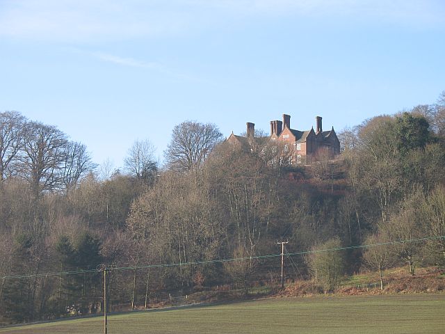
Brightall Common is a picturesque wood located in Herefordshire, England. Spread across a vast area, it is known for its dense forest and natural beauty. The common is situated near the village of Brightall, and is a popular destination for nature enthusiasts and hikers.

The woodland in Brightall Common is a mix of deciduous and coniferous trees, creating a diverse and vibrant ecosystem. Oak, beech, and birch trees dominate the landscape, providing a rich habitat for a variety of wildlife. The forest floor is covered with a lush carpet of ferns, mosses, and wildflowers, adding to the enchanting atmosphere of the common.

Traversing through Brightall Common, visitors can explore numerous well-maintained footpaths and trails. These paths offer stunning views of the surrounding countryside and allow visitors to immerse themselves in the tranquility of the forest. Many of the trails are suitable for all ages and abilities, making it an ideal location for families and casual walkers.

The common is also home to a diverse range of wildlife. Deer, foxes, and badgers can often be spotted roaming through the woods, while a variety of bird species, including woodpeckers and owls, make it a haven for birdwatchers.

Brightall Common is not just a natural gem; it also holds historical significance. The remains of ancient settlements and archaeological sites can be found within the wood, providing a glimpse into the area's past.

Overall, Brightall Common in Herefordshire offers a peaceful and captivating experience for nature lovers, with its enchanting woodland, diverse wildlife, and rich history.

If you have any feedback on the listing, please let us know in the comments section below.

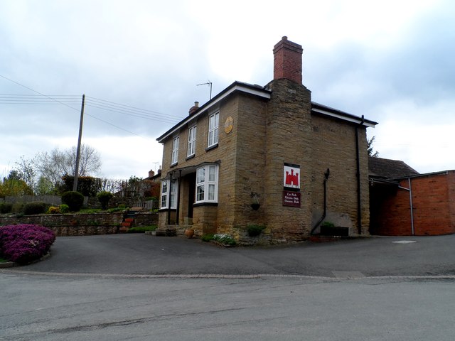
Brightall Common Images

Images are sourced within 2km of 52.318383/-2.7709496 or Grid Reference SO4769. Thanks to Geograph Open Source API. All images are credited.

Farm gate on the Herefordshire Trail
Trees by the Herefordshire Trail
High Cullis (Viewed from Richard's Castle) Here is High Cullis from the northeast at Richard's Castle, taken on the Herefordshire Trail. This hill is 738 ft or 225 m high and is situated in Orleton parish.
High Cullis (Viewed from Richard's Castle)
Here is High Cullis from the northeast at Richard's Castle, taken on the Herefordshire Trail. This hill is 738 ft or 225 m high and is situated in Orleton parish.
View from the Herefordshire Trail (Richard's Castle)
Goggin Copse (Viewed from the Herefordshire Trail)
Farm track near Richard's Castle In valleys of springs of rivers,
           By Onny and Teme and Clun,
          The country for easy livers,
           The quietest under the sun.

Excerpt from 'A Shropshire Lad' by AE Housman
Farm track near Richard's Castle
In valleys of springs of rivers, By Onny and Teme and Clun, The country for easy livers, The quietest under the sun. Excerpt from 'A Shropshire Lad' by AE Housman
Lane and footpath near Richard's Castle A waymarker sits between lanes at the junction point.
Lane and footpath near Richard's Castle
A waymarker sits between lanes at the junction point.
April's House, Waterloo Lane, near Richard's Castle A large and impressive house in an isolated spot. Interesting circular saw blade
April's House, Waterloo Lane, near Richard's Castle
A large and impressive house in an isolated spot. Interesting circular saw blade
Orleton Rise Holiday Park A static caravan holiday park within easy reach of many local attractions; Ludlow, Tenbury, Leominster (no, I'm not joking), the Teme valley, Mortimer Forest, the Clee Hills, Richard's Castle, the Mortimer Trail plus numerous small villages with pubs and a wide choice of restaurants. Or visitors could just stay on site drinking their own beer and eating their own barbecue food.
Orleton Rise Holiday Park
A static caravan holiday park within easy reach of many local attractions; Ludlow, Tenbury, Leominster (no, I'm not joking), the Teme valley, Mortimer Forest, the Clee Hills, Richard's Castle, the Mortimer Trail plus numerous small villages with pubs and a wide choice of restaurants. Or visitors could just stay on site drinking their own beer and eating their own barbecue food.
View from a footpath near Orleton The footpath here follows a field edge with lovely views across neighbouring fields to a bungalow and Titterstone Clee behind.
View from a footpath near Orleton
The footpath here follows a field edge with lovely views across neighbouring fields to a bungalow and Titterstone Clee behind.
The Castle Inn, Richard's Castle Roadside pub in the village.
The Castle Inn, Richard's Castle
Roadside pub in the village.
Big field near Richards Castle Harvested cornfield to the east of Richards Castle.
Big field near Richards Castle
Harvested cornfield to the east of Richards Castle.
B4361 northwest of Bilbury
Mistletoe-infested tree alongside B4361
The Castle Inn, Richards Castle Richards Castle takes its name from the castle built for Richard Fitz Scrob before 1051. He was a Norman who had been granted lands in this area by King Edward the Confessor prior to the Norman conquest in 1066.
The Castle Inn, Richards Castle
Richards Castle takes its name from the castle built for Richard Fitz Scrob before 1051. He was a Norman who had been granted lands in this area by King Edward the Confessor prior to the Norman conquest in 1066.
Footpath to Merefield The path leads past two places with the name Merefield and then joins a network of paths in the valley west of Richards Castle
Footpath to Merefield
The path leads past two places with the name Merefield and then joins a network of paths in the valley west of Richards Castle
Trees with mistletoe By the B4361 south of Richards Castle
Trees with mistletoe
By the B4361 south of Richards Castle
Potato field Below Woodhouse Lane and looking towards the transmitters at Woofferton.
Potato field
Below Woodhouse Lane and looking towards the transmitters at Woofferton.
Show me another place!

Brightall Common is located at Grid Ref: SO4769 (Lat: 52.318383, Lng: -2.7709496)

Unitary Authority: County of Herefordshire

Police Authority: West Mercia

What 3 Words

///fools.ferrying.finger. Near Elton, Herefordshire

Related Wikis

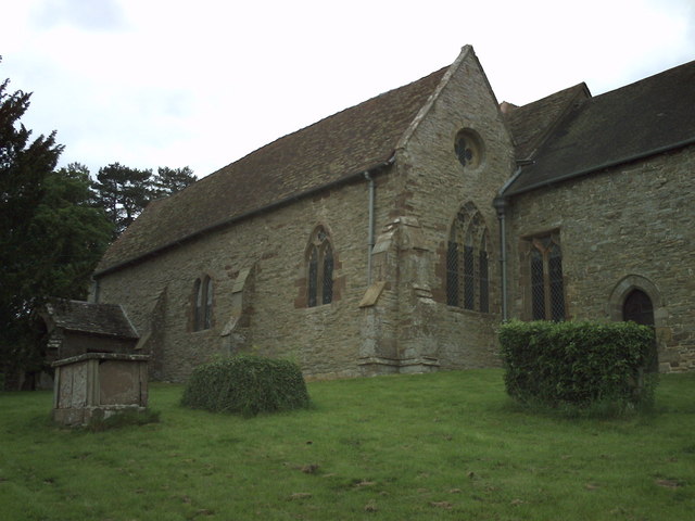
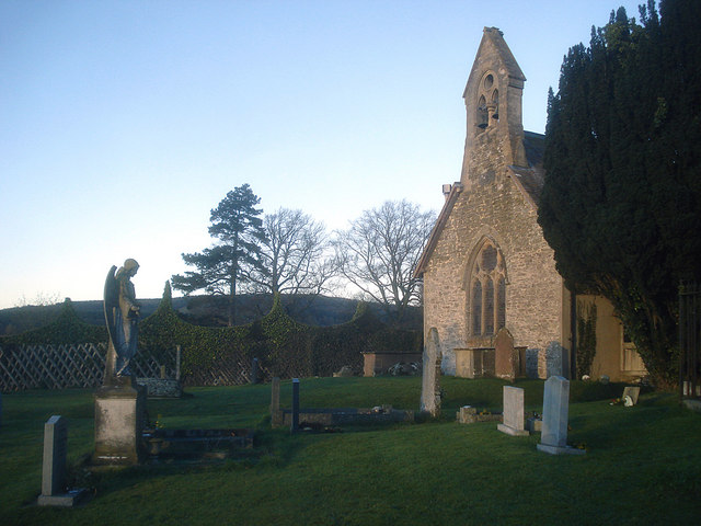
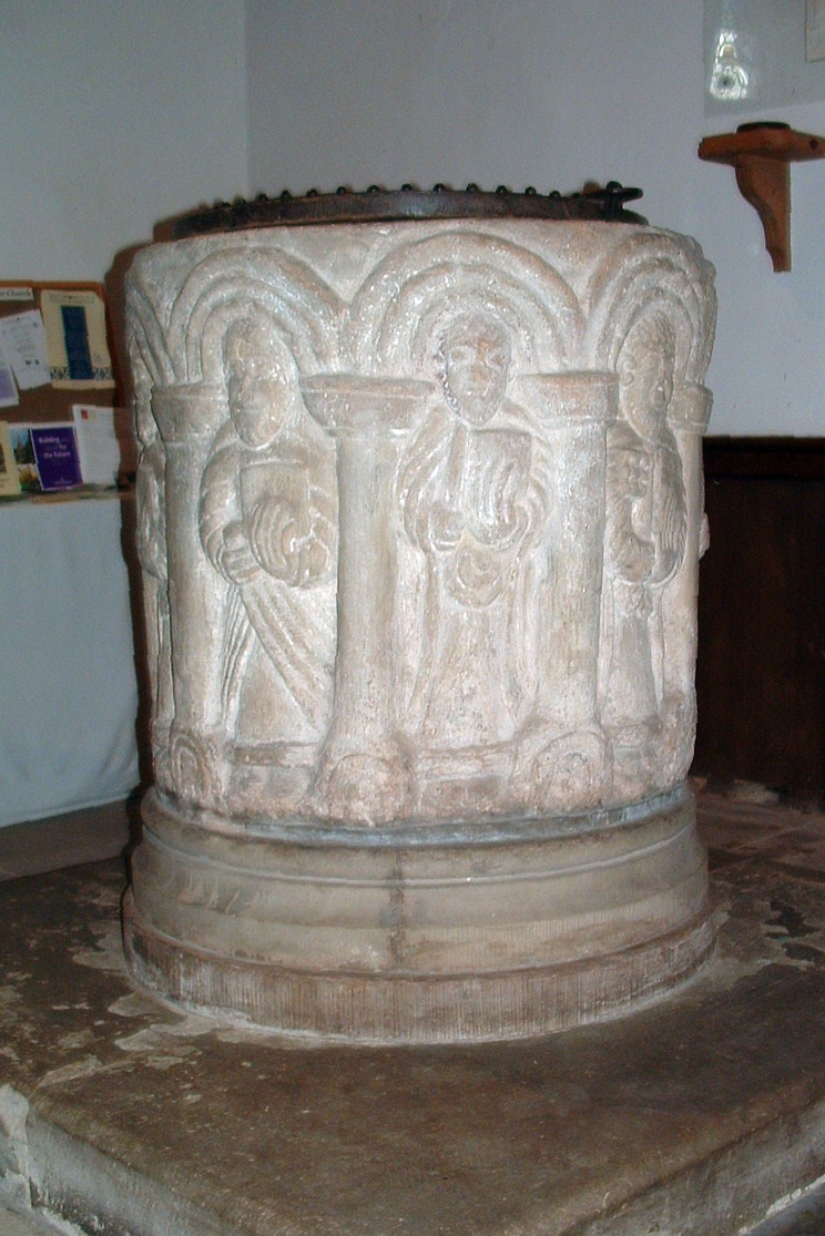
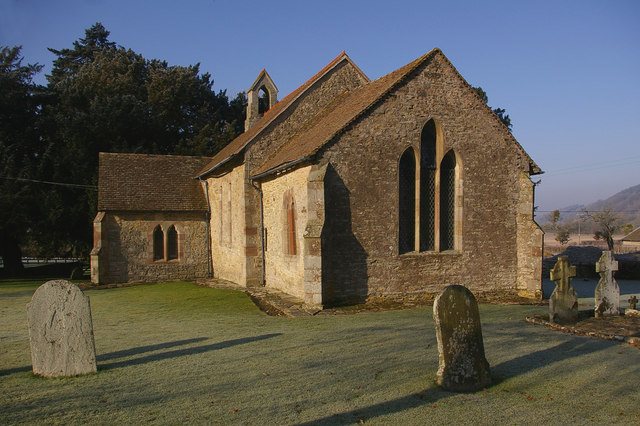
St Bartholomew's Church, Richard's Castle

St Bartholomew's Church is a redundant Anglican church in the village of Richard's Castle, Herefordshire, England. It is recorded in the National Heritage...

Richard's Castle

Richard's Castle is a village, castle and two civil parishes on the border of the counties of Herefordshire and Shropshire in England. The Herefordshire...

Elton, Herefordshire

Elton is a hamlet and civil parish in the far north of Herefordshire. It is situated on the Wigmore to Ludlow road. The village is northeast of Leinthall...

Orleton

Orleton is a small village and civil parish in northern Herefordshire, England, at grid reference SO493672. The population of the civil parish at the 2011...

Gatley Park

Gatley Park is an English 17th-century park and country house lying near Leinthall Earls, Herefordshire. Both the park and the house are separately listed...

High Vinnalls

High Vinnalls is a hill in the English county of Herefordshire, though commonly considered a member of the Shropshire Hills. It is located in the parish...

Pipe Aston

Pipe Aston is a small village and civil parish in the far north of Herefordshire, close to the border with Shropshire. It has a population of about 24...

Moor Park School

Moor Park School is a coeducational preparatory day and boarding school in the village of Richard's Castle, near Ludlow, England. It educates about 300...

Nearby Amenities

Located within 500m of 52.318383,-2.7709496
Woodhouse
Place: locality
Lat/Long: 52.3150712/-2.7662535
The data included in this document is from www.openstreetmap.org. The data is made available under ODbL.

Have you been to Brightall Common?

Leave your review of Brightall Common below (or comments, questions and feedback).