Brightall Coppice

Wood, Forest in Herefordshire

England

Brightall Coppice

Farm track near Richard's Castle In valleys of springs of rivers,
           By Onny and Teme and Clun,
          The country for easy livers,
           The quietest under the sun.

Excerpt from 'A Shropshire Lad' by AE Housman
Farm track near Richard's Castle Credit: Jeremy Bolwell

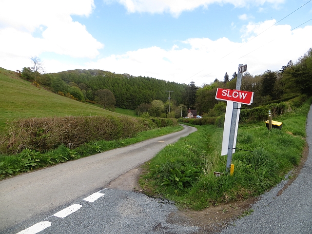
Brightall Coppice is a beautiful woodland area located in Herefordshire, England. Covering an approximate area of 50 hectares, it is a thriving natural forest that offers a peaceful and serene environment for visitors. The coppice is a mix of broadleaf trees, including oak, beech, ash, and birch, creating a diverse and rich ecosystem.

The woodland is known for its vibrant flora and fauna, with a variety of wildflowers, ferns, and mosses carpeting the forest floor. The canopy of trees provides a perfect habitat for numerous bird species, such as woodpeckers, owls, and songbirds, making it a haven for birdwatchers and nature enthusiasts.

Visitors can explore the coppice through a network of well-maintained footpaths that wind through the forest, allowing them to immerse themselves in the natural beauty of the surroundings. There are also picnic areas and benches scattered throughout the woodland, providing a tranquil spot to relax and enjoy the peaceful ambiance.

Brightall Coppice is a popular destination for outdoor activities such as walking, hiking, and photography. It offers a chance for individuals to reconnect with nature and escape the hustle and bustle of everyday life. The woodland is managed carefully to maintain its ecological balance and preserve its natural heritage.

Overall, Brightall Coppice is a hidden gem in Herefordshire, offering a stunning display of natural beauty and a peaceful retreat for anyone seeking solace in the great outdoors.

If you have any feedback on the listing, please let us know in the comments section below.

Brightall Coppice Images

Images are sourced within 2km of 52.316584/-2.7712117 or Grid Reference SO4769. Thanks to Geograph Open Source API. All images are credited.

Farm track near Richard's Castle In valleys of springs of rivers,
           By Onny and Teme and Clun,
          The country for easy livers,
           The quietest under the sun.

Excerpt from 'A Shropshire Lad' by AE Housman
Farm track near Richard's Castle
In valleys of springs of rivers, By Onny and Teme and Clun, The country for easy livers, The quietest under the sun. Excerpt from 'A Shropshire Lad' by AE Housman
Lane and footpath near Richard's Castle A waymarker sits between lanes at the junction point.
Lane and footpath near Richard's Castle
A waymarker sits between lanes at the junction point.
April's House, Waterloo Lane, near Richard's Castle A large and impressive house in an isolated spot. Interesting circular saw blade
April's House, Waterloo Lane, near Richard's Castle
A large and impressive house in an isolated spot. Interesting circular saw blade
Orleton Rise Holiday Park A static caravan holiday park within easy reach of many local attractions; Ludlow, Tenbury, Leominster (no, I'm not joking), the Teme valley, Mortimer Forest, the Clee Hills, Richard's Castle, the Mortimer Trail plus numerous small villages with pubs and a wide choice of restaurants. Or visitors could just stay on site drinking their own beer and eating their own barbecue food.
Orleton Rise Holiday Park
A static caravan holiday park within easy reach of many local attractions; Ludlow, Tenbury, Leominster (no, I'm not joking), the Teme valley, Mortimer Forest, the Clee Hills, Richard's Castle, the Mortimer Trail plus numerous small villages with pubs and a wide choice of restaurants. Or visitors could just stay on site drinking their own beer and eating their own barbecue food.
View from a footpath near Orleton The footpath here follows a field edge with lovely views across neighbouring fields to a bungalow and Titterstone Clee behind.
View from a footpath near Orleton
The footpath here follows a field edge with lovely views across neighbouring fields to a bungalow and Titterstone Clee behind.
Footpath through a rape field near Portway The oil seed rape is losing its yellow flowers now as May comes to an end and it is getting hard to struggle through the crop as it grows.
Footpath through a rape field near Portway
The oil seed rape is losing its yellow flowers now as May comes to an end and it is getting hard to struggle through the crop as it grows.
Tree in a Field
Tree in a Field
Big field near Richards Castle Harvested cornfield to the east of Richards Castle.
Big field near Richards Castle
Harvested cornfield to the east of Richards Castle.
B4361 northwest of Bilbury
Mistletoe-infested tree alongside B4361
B4361 Junction The view at the junction of B4361 with the B4262 at Portway.
B4361 Junction
The view at the junction of B4361 with the B4262 at Portway.
Footpath signs near Orleton The two footpaths signed here mean that walkers can avoid longer walks on the roads. On the left, the path leads to Broad Green along field edges, opposite, the path crosses a large field to reach the historic centre of Orleton
Footpath signs near Orleton
The two footpaths signed here mean that walkers can avoid longer walks on the roads. On the left, the path leads to Broad Green along field edges, opposite, the path crosses a large field to reach the historic centre of Orleton
Footpath to Merefield The path leads past two places with the name Merefield and then joins a network of paths in the valley west of Richards Castle
Footpath to Merefield
The path leads past two places with the name Merefield and then joins a network of paths in the valley west of Richards Castle
Trees with mistletoe By the B4361 south of Richards Castle
Trees with mistletoe
By the B4361 south of Richards Castle
Potato field Below Woodhouse Lane and looking towards the transmitters at Woofferton.
Potato field
Below Woodhouse Lane and looking towards the transmitters at Woofferton.
Woodhouse Lane Between the Goggin and Richard's Castle.
Woodhouse Lane
Between the Goggin and Richard's Castle.
The Goggin A road follows a scenic valley up the dip side of the big limestone ridge. The scarp side, Killhorse Lane is not so forgiving.
The Goggin
A road follows a scenic valley up the dip side of the big limestone ridge. The scarp side, Killhorse Lane is not so forgiving.
The Goggin View uphill.  There is a string of small cottages along the road as it ascends the pass.
The Goggin
View uphill. There is a string of small cottages along the road as it ascends the pass.
Show me another place!

Brightall Coppice is located at Grid Ref: SO4769 (Lat: 52.316584, Lng: -2.7712117)

Unitary Authority: County of Herefordshire

Police Authority: West Mercia

What 3 Words

///voting.evoked.peach. Near Orleton, Herefordshire

Related Wikis

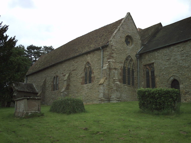
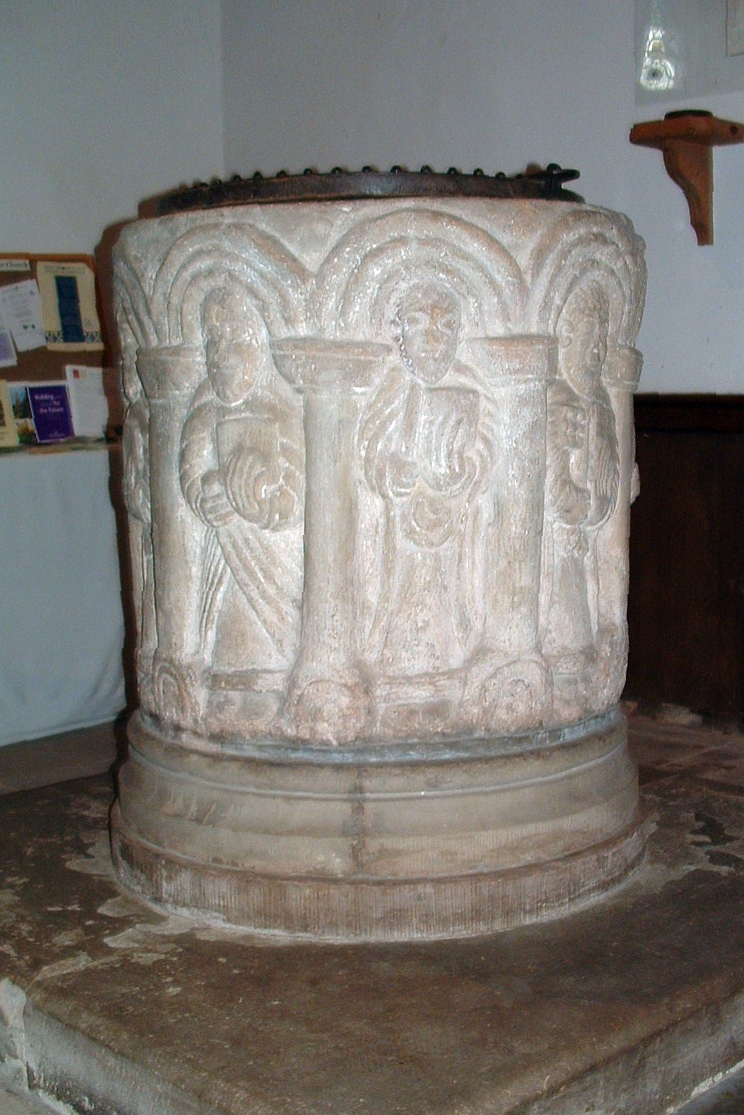
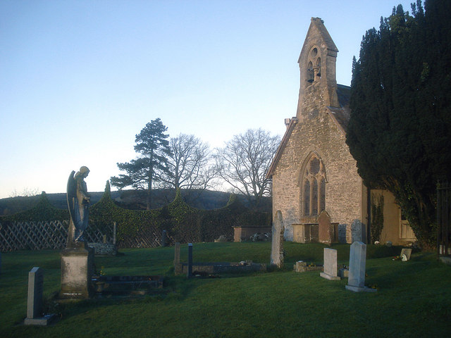
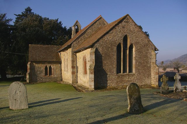
St Bartholomew's Church, Richard's Castle

St Bartholomew's Church is a redundant Anglican church in the village of Richard's Castle, Herefordshire, England. It is recorded in the National Heritage...

Richard's Castle

Richard's Castle is a village, castle and two civil parishes on the border of the counties of Herefordshire and Shropshire in England. The Herefordshire...

Orleton

Orleton is a small village and civil parish in northern Herefordshire, England, at grid reference SO493672. The population of the civil parish at the 2011...
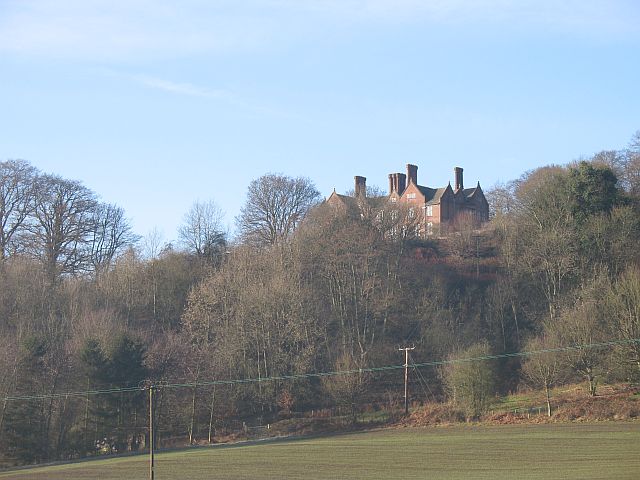
Gatley Park

Gatley Park is an English 17th-century park and country house lying near Leinthall Earls, Herefordshire. Both the park and the house are separately listed...

Elton, Herefordshire

Elton is a hamlet and civil parish in the far north of Herefordshire. It is situated on the Wigmore to Ludlow road. The village is northeast of Leinthall...

Bircher Common

Bircher Common is an area of lowland heath in the civil parish of Croft and Yarpole in Herefordshire, England, and 6 miles (10 km) north from Leominster...

Pipe Aston

Pipe Aston is a small village and civil parish in the far north of Herefordshire, close to the border with Shropshire. It has a population of about 24...

High Vinnalls

High Vinnalls is a hill in the English county of Herefordshire, though commonly considered a member of the Shropshire Hills. It is located in the parish...

Nearby Amenities

Located within 500m of 52.316584,-2.7712117
Woodhouse
Place: locality
Lat/Long: 52.3150712/-2.7662535
The data included in this document is from www.openstreetmap.org. The data is made available under ODbL.

Have you been to Brightall Coppice?

Leave your review of Brightall Coppice below (or comments, questions and feedback).