Bay Plantation
Wood, Forest in Cumberland Eden
England
Bay Plantation
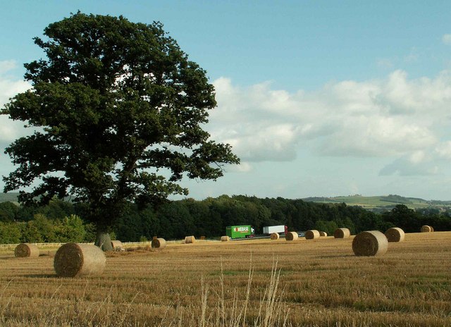
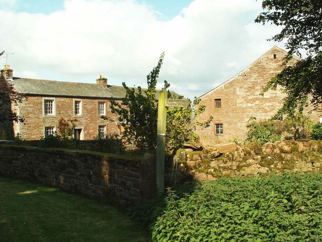
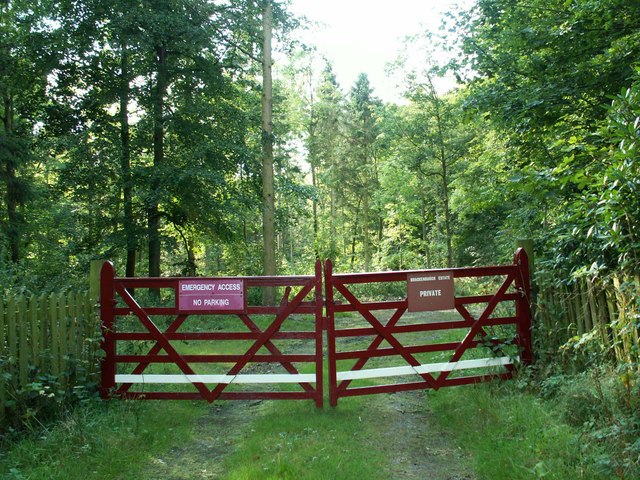
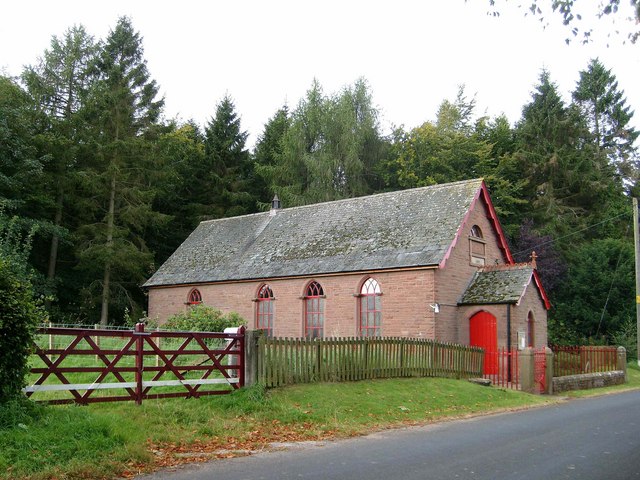
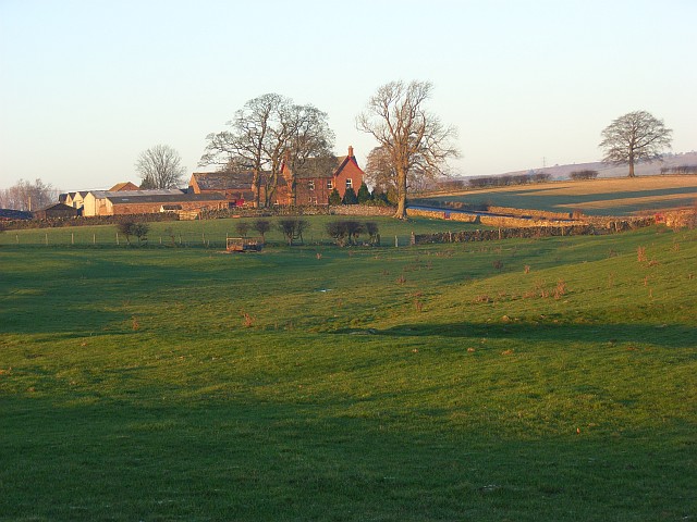
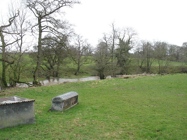
Bay Plantation, Cumberland (Wood, Forest) is a picturesque and sprawling natural area located in the Cumberland region of the United States. Covering an expansive area of approximately 500 acres, this plantation offers a diverse and vibrant ecosystem, making it a haven for nature enthusiasts and researchers alike.
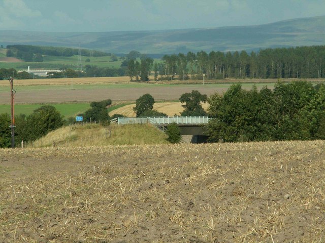
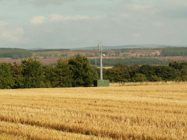
The plantation is primarily characterized by its dense woodlands, which are dominated by a variety of tree species such as oak, pine, and maple. These towering trees create a serene and peaceful atmosphere, providing shade and shelter for a wide range of wildlife. The forest floor is adorned with a lush carpet of ferns, wildflowers, and mosses, creating a vibrant understory.
One of the notable features of Bay Plantation is its proximity to the bay, which lends its name to the area. This unique geographical location gives rise to a distinctive coastal ecosystem, attracting a plethora of bird species, including herons, egrets, and ospreys. The bay itself is home to various marine life, making it an excellent spot for fishing and occasional sightings of seals and dolphins.
Visitors to Bay Plantation can explore the numerous hiking trails that wind through the woodland, providing an opportunity to immerse themselves in the tranquil surroundings and discover the area's natural beauty. Additionally, the plantation offers educational programs and guided tours, allowing visitors to learn about the diverse flora and fauna that call this place home.
Bay Plantation, Cumberland (Wood, Forest) is a haven of natural beauty and biodiversity, offering a serene escape from the hustle and bustle of everyday life. With its stunning woodlands, diverse wildlife, and proximity to the bay, this plantation is a must-visit destination for nature lovers and those seeking a connection with the great outdoors.
If you have any feedback on the listing, please let us know in the comments section below.
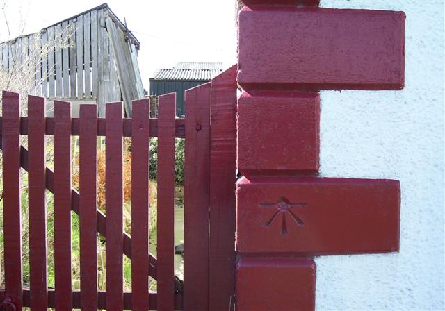
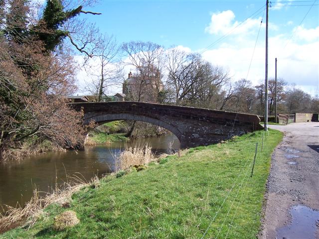
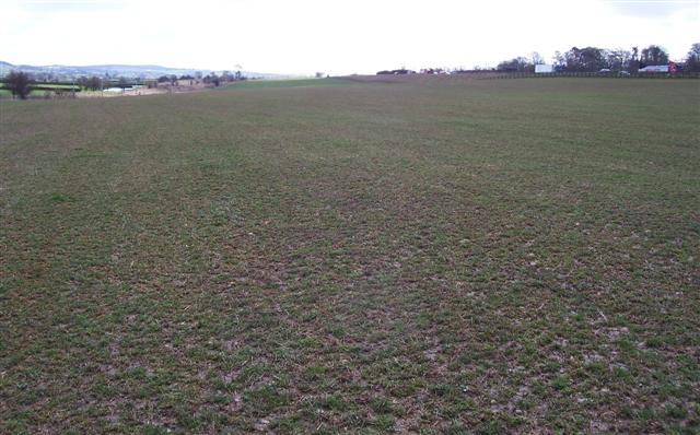
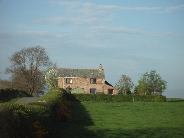
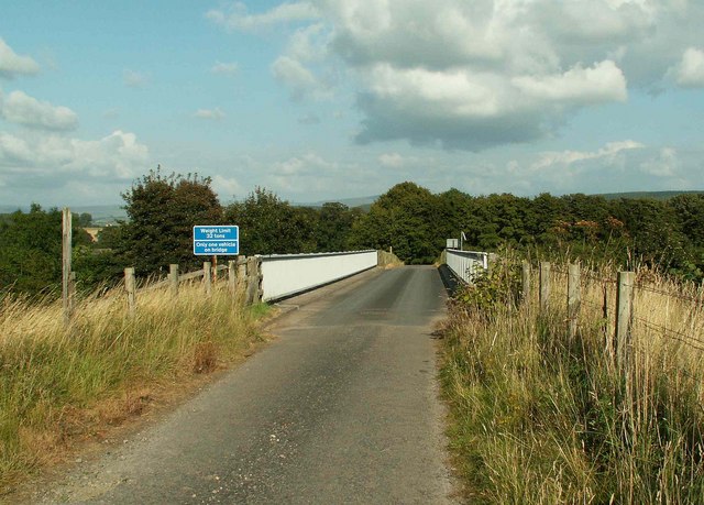
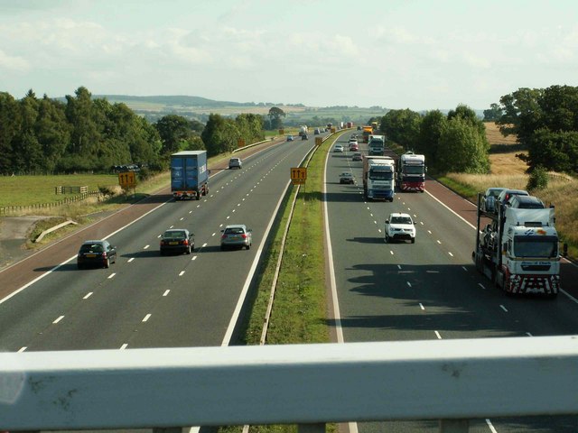
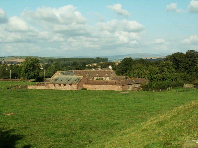
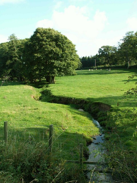
Bay Plantation Images
Images are sourced within 2km of 54.759752/-2.8167964 or Grid Reference NY4740. Thanks to Geograph Open Source API. All images are credited.


Bay Plantation is located at Grid Ref: NY4740 (Lat: 54.759752, Lng: -2.8167964)
Administrative County: Cumbria
District: Eden
Police Authority: Cumbria
What 3 Words
///income.refers.arranger. Near Penrith, Cumbria
Nearby Locations
Related Wikis

Calthwaite railway station
Calthwaite railway station in Hesket parish, was situated on the Lancaster and Carlisle Railway (the West Coast Main Line) between Carlisle and Penrith...
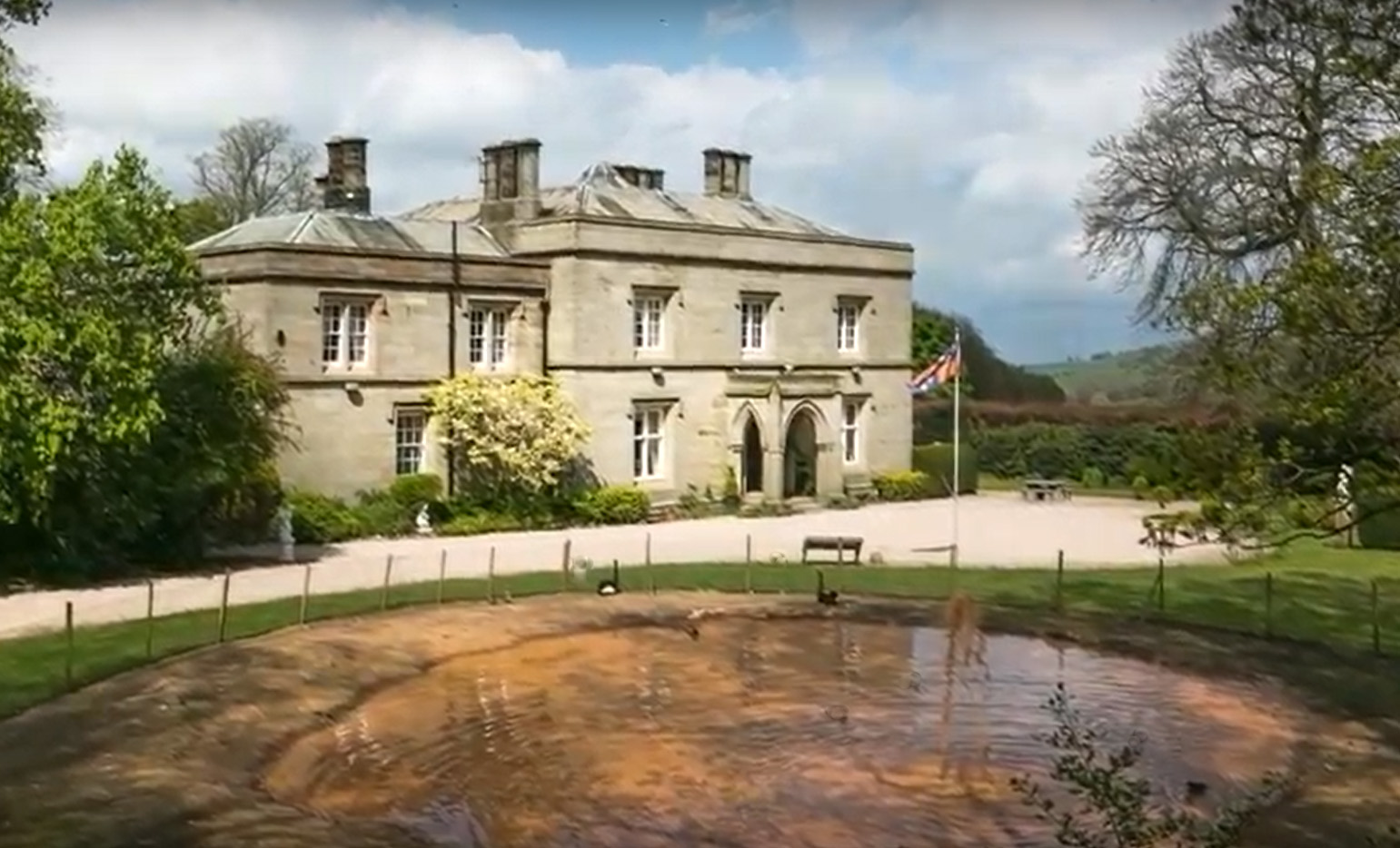
Calthwaite Hall
Calthwaite Hall, near Penrith in Cumbria, England, is a house of historical significance and is Grade II listed on the National Heritage List for England...

Calthwaite
Calthwaite is a small village in rural Cumbria, England, situated between the small market town of Penrith and the larger city of Carlisle. It is within...

Hesket, Cumbria
Hesket (also Hesket-in-the-Forest) is a large civil parish in the Eden District of Cumbria, England, on the main A6 between Carlisle and Penrith. At the...

Morton, Eden
Morton is a hamlet near the village of Calthwaite, in the civil parishes of Hesket and Skelton, within the Eden district of the English county of Cumbria...

Tarn Wadling
Tarn Wadling (formerly spelled Turnewathelane, Terne Wathelyne, among others) was a lake between Carlisle and Penrith, near the village of High Hesket...

High Hesket
High Hesket is a village near the A6 road, in the parish of Hesket, in the Eden district, in the English county of Cumbria. The village was on the A6 road...
Plumpton railway station (Cumbria)
Plumpton railway station in Hesket parish in what is now Cumbria but was then Cumberland in the north west of England, was situated on the Lancaster and...
Nearby Amenities
Located within 500m of 54.759752,-2.8167964Have you been to Bay Plantation?
Leave your review of Bay Plantation below (or comments, questions and feedback).