Calthwaite Wash Pool

Lake, Pool, Pond, Freshwater Marsh in Cumberland Eden

England

Calthwaite Wash Pool

Ordnance mark Information supplied by geographer is:-
By the way what you have photographed is what is known as a PA bolt which stands for Published Abstract Bolt. The round thing in the centre of the bar is a piece of phosphor bronze set in the wall and has a horizontal mark cut in the end of the bar which is the mark the level is taken to.
Ordnance mark Credit: John Holmes

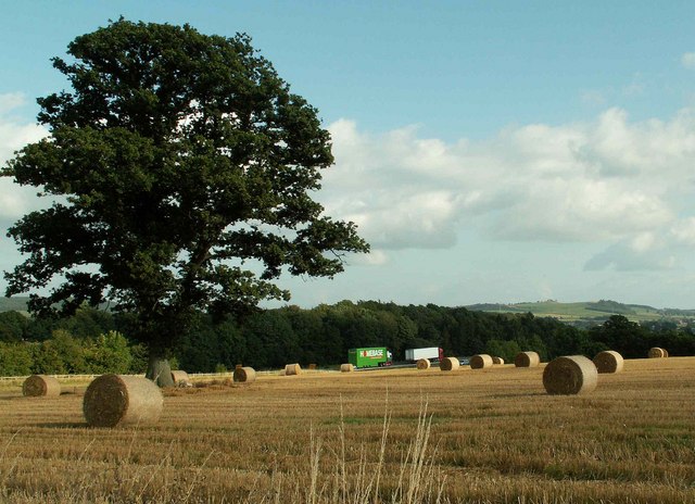
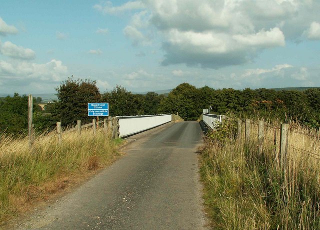
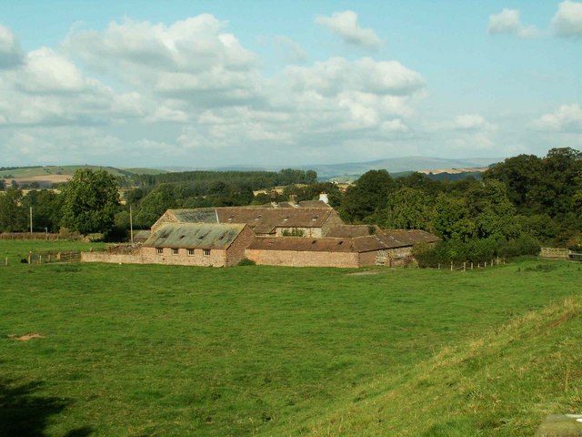
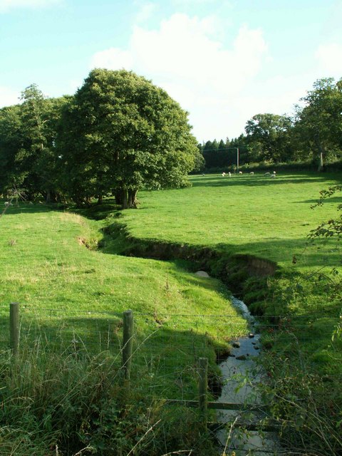
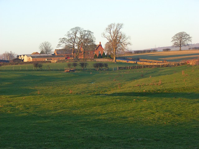
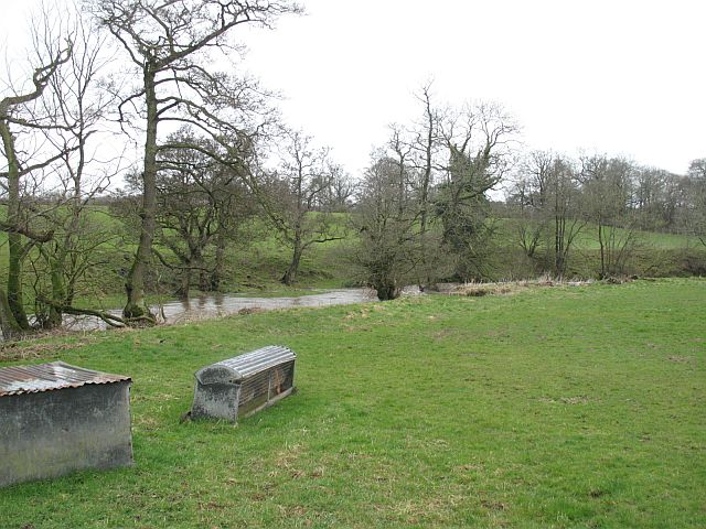
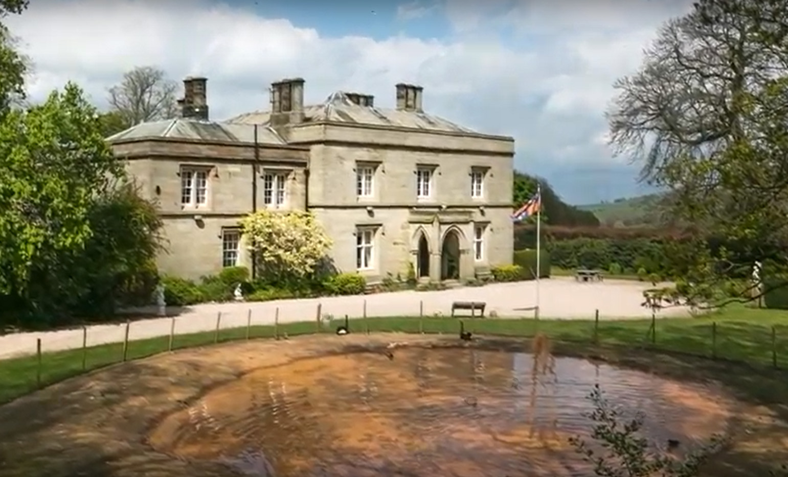
Calthwaite Wash Pool, located in Cumberland, is a freshwater marsh encompassing an area of approximately 2 acres. This natural water body is often referred to as a lake, pool, or pond due to its relatively small size and tranquil setting. The marsh is situated in the picturesque landscape of the Cumbrian countryside, surrounded by rolling hills and lush vegetation.

The pool is fed by a combination of surface runoff and natural springs, ensuring a constant supply of fresh water throughout the year. The water is typically clear and shallow, with an average depth of around 3 feet. The pool's edges are lined with emergent vegetation, such as reeds and rushes, which provide important habitat for various species of birds, insects, and amphibians.

Calthwaite Wash Pool is known for its rich biodiversity. It serves as a vital breeding ground and foraging area for a wide range of bird species, including ducks, swans, and herons. The surrounding vegetation also supports a diverse array of plant life, such as water lilies and water milfoil.

Visitors to Calthwaite Wash Pool can enjoy the tranquil ambiance and observe the abundant wildlife. The pool offers opportunities for leisure activities like birdwatching, photography, and nature walks. It is an ideal destination for those seeking a peaceful and immersive experience in the natural beauty of Cumberland.

If you have any feedback on the listing, please let us know in the comments section below.

Calthwaite Wash Pool Images

Images are sourced within 2km of 54.758677/-2.8176294 or Grid Reference NY4740. Thanks to Geograph Open Source API. All images are credited.

Ordnance mark Information supplied by geographer is:-
By the way what you have photographed is what is known as a PA bolt which stands for Published Abstract Bolt. The round thing in the centre of the bar is a piece of phosphor bronze set in the wall and has a horizontal mark cut in the end of the bar which is the mark the level is taken to.
Ordnance mark
Information supplied by geographer is:- By the way what you have photographed is what is known as a PA bolt which stands for Published Abstract Bolt. The round thing in the centre of the bar is a piece of phosphor bronze set in the wall and has a horizontal mark cut in the end of the bar which is the mark the level is taken to.
Road bridge at Plumpton Foot. With the Mill hiding in the trees in the background.
Road bridge at Plumpton Foot.
With the Mill hiding in the trees in the background.
Wet eden valley farmland. With the M6 on the right and the railway on the left and a patch of floodwater across the railway.
Wet eden valley farmland.
With the M6 on the right and the railway on the left and a patch of floodwater across the railway.
Ling Close Barn
Ling Close Barn
Straw bales and motorway traffic
Calthwaite House Start of footpath to Plumpton Foot
Calthwaite House
Start of footpath to Plumpton Foot
Calthwaite House Bridge
Phone mast in field of stubble
Robinson House Bridge
M6 from Robinson House Bridge
Robinson House Farm
Robinson House Farm
Ravensgill Beck
Ravensgill Beck
Entrance to Ravensgill Plantation This smart maroon paint features prominently on properties around the Brackenburgh
Estate.
Entrance to Ravensgill Plantation
This smart maroon paint features prominently on properties around the Brackenburgh Estate.
Plumpton Back Street Methodist Church The church was opened in 1905.
Plumpton Back Street Methodist Church
The church was opened in 1905.
Knowe Farm A view across pastures to the west of the A6 from the footpath below Bluebell Farm.
Knowe Farm
A view across pastures to the west of the A6 from the footpath below Bluebell Farm.
Lane at Plumpton Foot The frosty road climbing from Plumptonfoot Farm towards Brackenburgh.
Lane at Plumpton Foot
The frosty road climbing from Plumptonfoot Farm towards Brackenburgh.
Bridge over the railway, Plumpton Foot Crossing the, out of sight, West Coast Mainline.
Bridge over the railway, Plumpton Foot
Crossing the, out of sight, West Coast Mainline.
River Petteril, Plumptonfoot Sheep feeding rack beside the river.
River Petteril, Plumptonfoot
Sheep feeding rack beside the river.
Show me another place!

Calthwaite Wash Pool is located at Grid Ref: NY4740 (Lat: 54.758677, Lng: -2.8176294)

Administrative County: Cumbria

District: Eden

Police Authority: Cumbria

What 3 Words

///revise.pavilions.former. Near Penrith, Cumbria

Related Wikis

Calthwaite railway station

Calthwaite railway station in Hesket parish, was situated on the Lancaster and Carlisle Railway (the West Coast Main Line) between Carlisle and Penrith...

Calthwaite Hall

Calthwaite Hall, near Penrith in Cumbria, England, is a house of historical significance and is Grade II listed on the National Heritage List for England...

Calthwaite

Calthwaite is a small village in rural Cumbria, England, situated between the small market town of Penrith and the larger city of Carlisle. It is within...

Hesket, Cumbria

Hesket (also Hesket-in-the-Forest) is a large civil parish in the Eden District of Cumbria, England, on the main A6 between Carlisle and Penrith. At the...

Morton, Eden

Morton is a hamlet near the village of Calthwaite, in the civil parishes of Hesket and Skelton, within the Eden district of the English county of Cumbria...

Tarn Wadling

Tarn Wadling (formerly spelled Turnewathelane, Terne Wathelyne, among others) was a lake between Carlisle and Penrith, near the village of High Hesket...

High Hesket

High Hesket is a village near the A6 road, in the parish of Hesket, in the Eden district, in the English county of Cumbria. The village was on the A6 road...

Plumpton railway station (Cumbria)

Plumpton railway station in Hesket parish in what is now Cumbria but was then Cumberland in the north west of England, was situated on the Lancaster and...

Nearby Amenities

Located within 500m of 54.758677,-2.8176294
Post Box
Ref: CA11 208
Source: survey
Lat/Long: 54.7582299/-2.8190044
Power: pole
Lat/Long: 54.7597082/-2.8116586
Power: pole
Lat/Long: 54.75925/-2.8131791
Calthwaite
Historic Railway: station
Railway: site
Wikidata: Q5023990
Wikipedia: en:Calthwaite railway station
Lat/Long: 54.7575331/-2.8192115
Power: pole
Lat/Long: 54.7599744/-2.8195061
Power: pole
Lat/Long: 54.7594074/-2.8190801
Power: pole
Lat/Long: 54.7588488/-2.8187026
Power: pole
Lat/Long: 54.7586924/-2.8180685
Power: pole
Lat/Long: 54.7582944/-2.8165074
Power: pole
Lat/Long: 54.7586296/-2.8153916
Power: pole
Lat/Long: 54.7589508/-2.8142493
The data included in this document is from www.openstreetmap.org. The data is made available under ODbL.

Have you been to Calthwaite Wash Pool?

Leave your review of Calthwaite Wash Pool below (or comments, questions and feedback).